The best walks and hikes around Fuendejalón
5.0
(14)
16
hikers
5
hikes
Hiking around Fuendejalón offers diverse landscapes, situated in the Campo de Borja region of Zaragoza, Aragon. The area features a blend of mountainous terrain, extensive vineyards, and steppe hills, with the Moncayo Mountain visible in the distance. This transitional zone between the Iberian System and the Ebro Valley provides varied environments for exploration.
Best hiking trails around Fuendejalón
- The most popular hiking route is Church of San Juan Bautista loop from Tabuenca, a 7.6 miles (12.2 km) moderate trail…
Last updated: June 29, 2026
2
hikers
12.2km
03:47
450m
450m
Moderate hike. Good fitness required. Easily-accessible paths. Suitable for all skill levels.
4.9
(7)
5
hikers
12.4km
03:26
230m
230m
Moderate hike. Good fitness required. Easily-accessible paths. Suitable for all skill levels.
5.0
(2)
1
hikers
5.17km
01:21
40m
40m
Easy hike. Great for any fitness level. Easily-accessible paths. Suitable for all skill levels.
Get access to more routes and recommendations from other explorers.
Sign up for free
Already have an account?
Our route recommendations are based on thousands of hikes, rides, and runs completed by other people on komoot.
Start today with a free account
Your next adventure awaits.
Login or Signup

Tips from the Community

Borja has been on the map since the 5th century BC, there are about 5000 inhabitants and the town offers several sights. Church of San Miquel, church Sante Maria, baroque monastery Santa Klara etc.
1
0
Borja has a pronounced continental climate with limited precipitation of 350 to 450 mm per year. Hail and frost are common in spring and a cold, dry northerly wind (the cierzo) is typical of the area.
4
0

Church of the town of Tabuenca located at the top of the municipality with a beautiful façade next to the staircase. Gothic-Mudejar style from the 16th century with important Baroque reforms during the 18th century.
1
0
Frequently Asked Questions
How many hiking trails are available around Fuendejalón?
There are currently 5 hiking routes around Fuendejalón listed on komoot, ranging from easy strolls to more challenging moderate hikes. This variety ensures there's something for every skill level.
What kind of terrain can I expect on hikes near Fuendejalón?
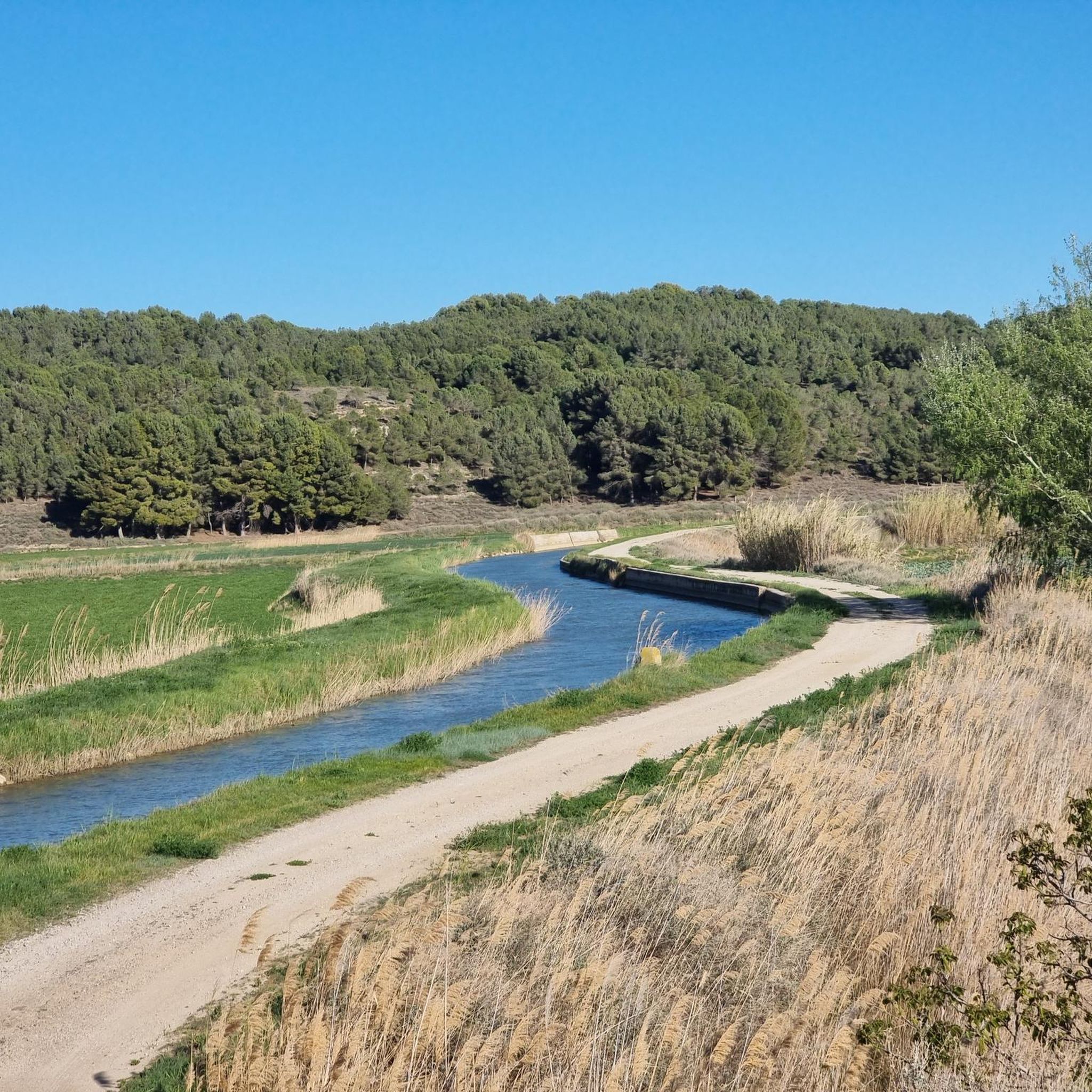
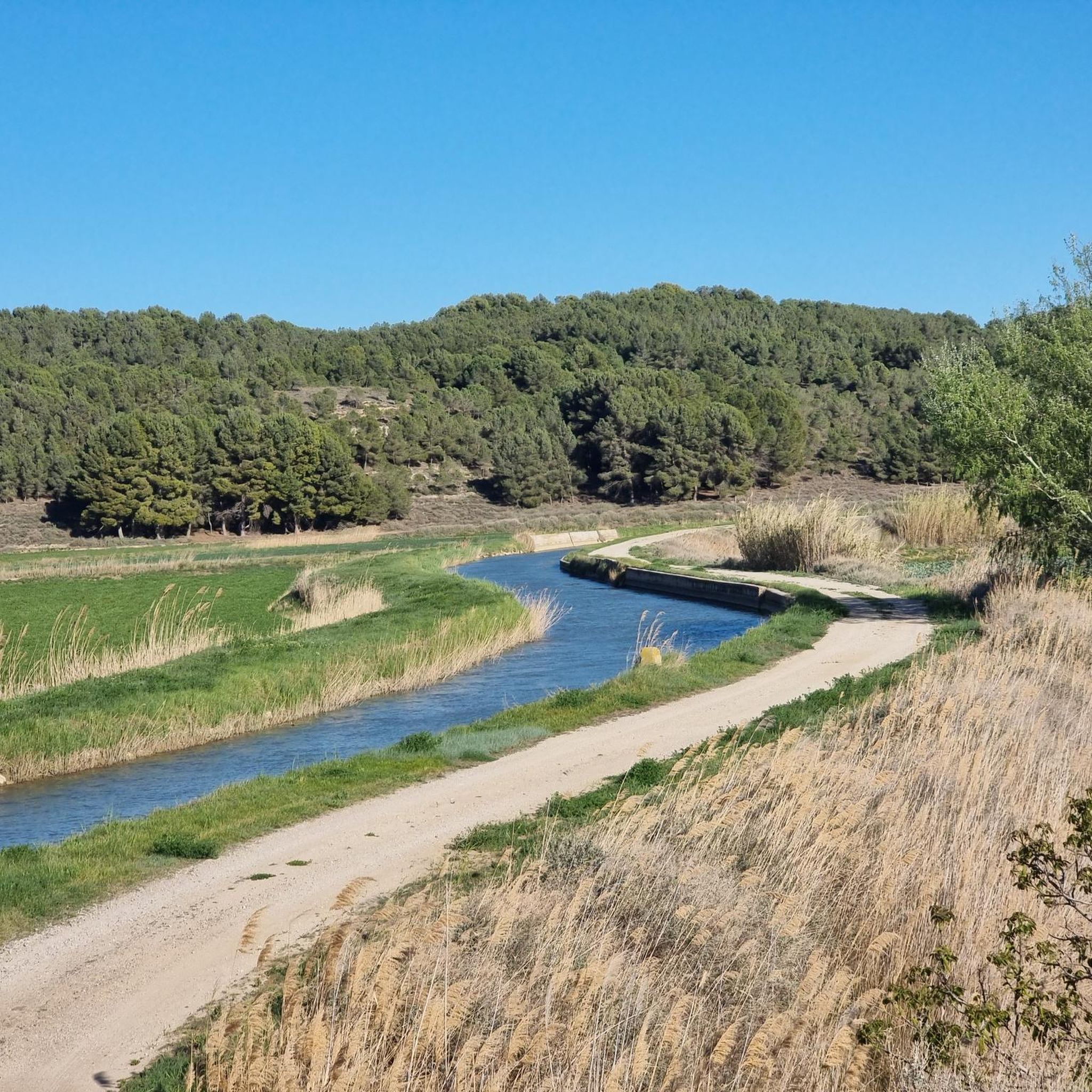
The region offers a diverse landscape, transitioning between the rugged Iberian System and the fertile Ebro Valley. You'll find trails winding through extensive vineyards of the Campo de Borja, drylands, steppe hills, and areas with views of the majestic Moncayo Mountain. Some routes, like those near the Santuario de Rodanas, also feature unique caves and old mine remains.
Are there any easy, family-friendly hikes in the area?
Yes, there are easy options perfect for families. For instance, the Maleján Surroundings loop from Maleján is an easy 5.2 km route that takes just over an hour. Additionally, the "Ruta de las Cuevas (Rodanas)" (SL-Z 68) is an easy, circular trail of 8.6 km, ideal for discovering caves and ecological ponds, and the area around Santuario de Rodanas is well-equipped with picnic facilities.
Can I find circular hiking routes around Fuendejalón?
Absolutely. Many of the trails in the area are circular, offering convenient starting and ending points. Examples include the Church of San Juan Bautista loop from Tabuenca and the Borja – Maleján Surroundings loop from Maleján. The Santuario de Rodanas also features several circular paths, such as the "Ruta de las Cuevas" and the "Ruta Sendero de Aguaviva".
What are some notable natural features or landmarks to look out for on the trails?
Hikers can enjoy views of the impressive Moncayo Mountain, explore the unique caves and old mine remains near the Santuario de Rodanas, and traverse the picturesque vineyards of the Campo de Borja wine region. The transition zone between the Iberian System and the Ebro Valley also provides a rich diversity of environments.
What is the best time of year to go hiking in Fuendejalón?
The region is generally pleasant for hiking during spring and autumn when temperatures are milder. Spring brings blooming landscapes, especially in the vineyards, while autumn offers comfortable weather and beautiful colors. Summers can be hot, so early morning or late afternoon hikes are recommended, and winters are generally mild but can have cooler days.
Are there any longer, more challenging hikes available?
While there are no routes classified as 'difficult' directly from Fuendejalón in our current selection, you can find moderate options that offer a good workout. The Church of San Juan Bautista loop from Tabuenca, at 12.2 km with over 450 meters of elevation gain, provides a moderate challenge. Similarly, the "Ruta Sendero de Aguaviva" near Rodanas is a longer circular option covering 16.1 km.
What do other hikers say about the trails around Fuendejalón?
The area is highly rated by the komoot community, with an average score of 4.96 out of 5 stars from 14 ratings. Reviewers often praise the diverse landscapes, the tranquility of the routes, and the opportunity to experience the unique blend of vineyards and natural features.
Are there opportunities to explore the local wine region while hiking?
Yes, Fuendejalón is located in the "Empire of Garnacha" within the Campo de Borja wine region. Many hiking routes, such as the PR-Z 167 connecting Fuendejalón to Pozuelo, traverse these extensive vineyards, offering a chance to experience the winemaking tradition alongside the natural beauty. You can learn more about the region's wine heritage.
Is public transport available to reach hiking trailheads near Fuendejalón?
While specific public transport links directly to all trailheads might be limited, Fuendejalón is a municipality in Zaragoza, Aragon. It's advisable to check local bus schedules for connections to nearby villages or key starting points like the Santuario de Rodanas. Driving often offers the most flexibility for accessing various trailheads in the region.
Are there any routes that offer views of the Moncayo Mountain?
Yes, the majestic Moncayo Mountain is a dominant feature of the landscape and is visible from many points around Fuendejalón. Several trails in the broader region, including some that traverse the higher elevations near the Sierra del Bollón, will offer impressive panoramic views of this iconic peak.

Get inspired with the komoot mobile app


Explore more
Browse the best Hikes in other regions.
