The best road cycling routes around Laguna del Barco
43
riders
3
rides
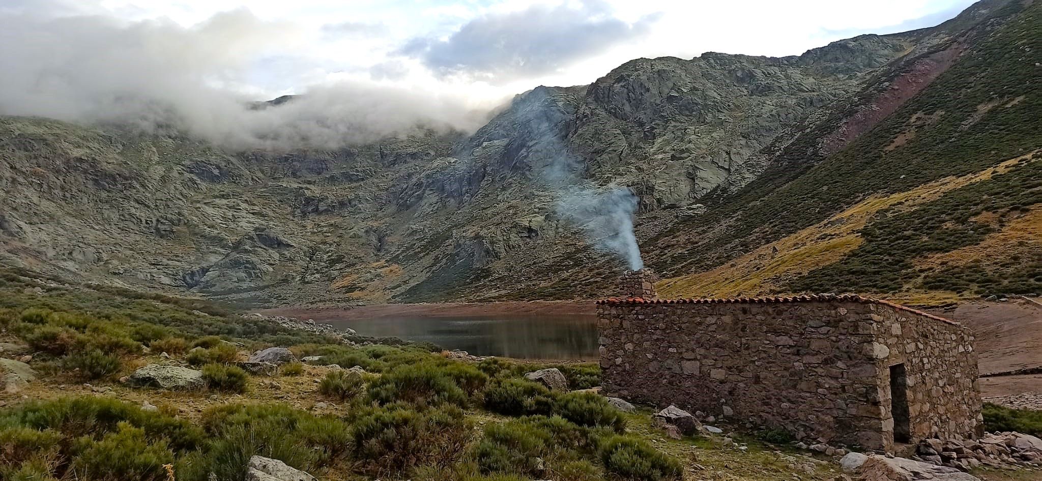
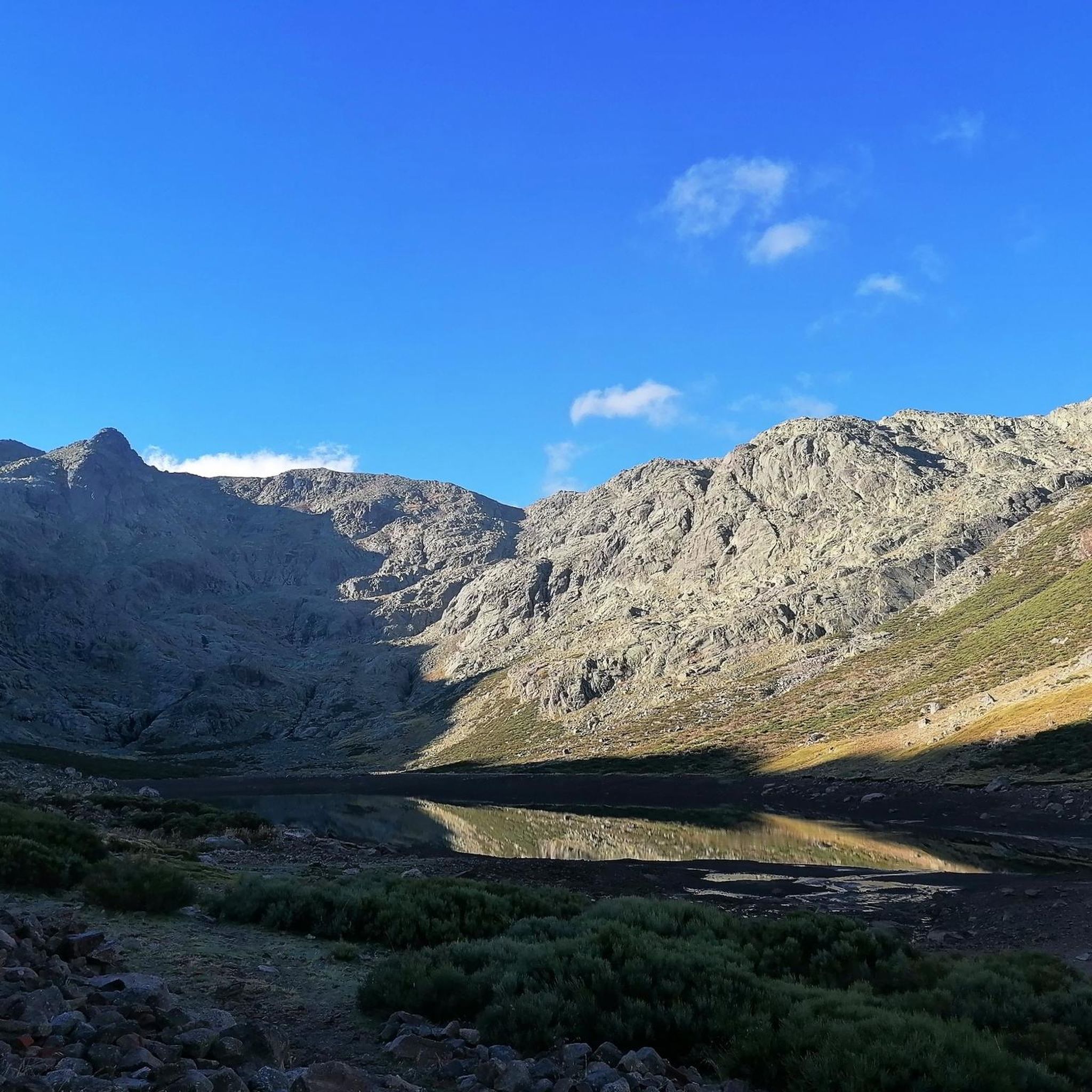
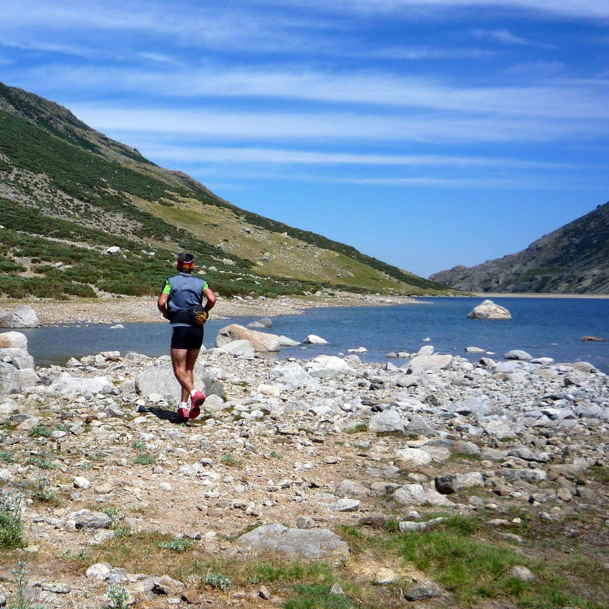
Road cycling routes around Laguna del Barco navigate a mountainous landscape within the Sierra de Gredos, characterized by rugged peaks and glacial valleys. The region features significant elevation changes, with roads winding through high-altitude terrain. Glacial erosion has shaped the area, creating distinctive moraines and deep gorges. This environment provides demanding rides for road cyclists seeking challenging ascents and descents.
Best road cycling routes around Laguna del Barco
- The most popular road cycling route is Puerto de Honduras – Honduras…
Last updated: July 10, 2026
25
riders
91.7km
05:41
2,490m
2,490m
Hard road ride. Very good fitness required. Some segments of this route may be unpaved and difficult to ride.
15
riders
45.7km
02:38
890m
890m
Moderate road ride. Good fitness required. Some segments of this route may be unpaved and difficult to ride.

Sign up for free
3
riders
Hard road ride. Very good fitness required. Some segments of this route may be unpaved and difficult to ride.
Our route recommendations are based on thousands of hikes, rides, and runs completed by other people on komoot.
Start today with a free account
Your next adventure awaits.
Login or Signup


Other adventures around Laguna del Barco

Tips from the Community

The Old Bridge of El Barco de Ávila, also known as the Medieval Bridge, is one of the most representative symbols of this town in Ávila. It crosses the Tormes River and connects the historic center with the old communication route to Castile and León. Although its current structure is medieval (12th–13th centuries), it is believed to have been built on Roman foundations.
1
0
Valdecorneja Castle, located in El Barco de Ávila, is a medieval gem that dominates the Tormes River valley from a strategic, elevated position. It is one of the most emblematic monuments in the province of Ávila and a must-see for history and architecture lovers.
2
0

17 kilometers of mountain pass (on both sides, Ambroz Valley from Hervás or Jerte Valley from Cabezuela del Valle). From Cabezuela del Valle, the first 12 kilometers average an average gradient of 7%, with some 10% gradients, and from the 12th kilometer onward, there are some rest stops with wonderful views. This side has a gradient of approximately 900 meters, up to 1,430 meters.
0
0

Built on a Vettonian fort that was destroyed by the Romans, it was built in the 12th century and rebuilt in the 14th century. After being conquered from the Arabs, King Alfonso VI donated the Lordship of Valdecorneja to his daughter and son-in-law, Ramon de Borgoña, for repopulation. At the beginning of the 14th century, Henry II of Trastamara donated these lands to the House of Alba in the person of Don García Álvarez de Toledo. The House of Alba was responsible for building the castle. Grand Duke Don Fernando Álvarez de Toledo had his second residence here. During the Peninsular War, it suffered significant deterioration, not only due to the war itself but also because its stones were used to build private homes. The old interior arcade (which apparently formed a double gallery on the inside of the tower) was dismantled and rebuilt to provide arcades for the town hall building, located in the Plaza Mayor. Between 1851 and 1904, the interior of the castle grounds was used as a municipal cemetery, which further deteriorated its condition. Today, the exterior is in perfect condition after restorations carried out in 1985 and 2004, preserving its original perimeter. The pavement and part of the keep were repaired. Access to the monument is free, and visitors can see the well located in the center of the courtyard, a vaulted cistern excavated in the subsoil rock, and the ancient windows and oriel windows with double pointed arches. The courtyard is used for certain cultural events held in this town.
1
0

Located in the north of the province of Cáceres, the port of Honduras provides spectacular views of the two large valleys it connects: the Ambroz valley and the Jerte valley. From both Gargantilla and Cabezuela del Valle, hikers can avoid the road and crown this pass along trails and dirt tracks that are part of the GR 10.
0
0

Beautiful port between the Ambroz Valley and the Jerte Valley with a constant slope of about 6%
0
0

It is a charming town, which still preserves the traditional architecture of the valley. It is worth walking through its narrow streets and contemplating the wooden balconies and original stone constructions.
0
0

This is one of the best-known mountain passes in the Sierra de Gredos area and is also important as it separates the two most important basins in the Iberian Peninsula, the Duero and the Tagus.
0
0
Frequently Asked Questions
How many road cycling routes are available around Laguna del Barco?
There are several dedicated road cycling routes around Laguna del Barco, offering diverse experiences for road cyclists. These routes are part of a broader network explored by many in the komoot community.
What kind of terrain can I expect when road cycling in Laguna del Barco?
Road cycling around Laguna del Barco involves a mountainous landscape within the Sierra de Gredos. You can expect rugged peaks, deep gorges, and glacial valleys, with significant elevation changes and challenging ascents and descents characteristic of a mountain range.
Are there routes suitable for advanced road cyclists in Laguna del Barco?
Yes, the region is well-suited for advanced road cyclists looking for demanding rides. Routes like the Puerto de Honduras – Honduras Pass loop from Puerto de Tornavacas are classified as difficult, featuring substantial elevation gain through mountainous passes.
Are there any moderate road cycling options available?
Yes, there are moderate options for road cyclists. For instance, the Jerte River – Navaconcejo loop from Tornavacas is a moderate path that follows river valleys, offering scenic views without the most extreme climbs.
What are some notable landmarks or viewpoints along the road cycling routes?
The routes often pass through areas with historical significance and natural beauty. For example, the Valdecorneja Castle – Castle of El Barco de Ávila loop from Aparcamiento Laguna de los Caballeros leads through varied terrain with historical landmarks, including castles.
What is the best time of year for road cycling in Laguna del Barco?
While specific seasonal recommendations are not detailed, mountainous regions like Sierra de Gredos generally offer pleasant cycling conditions in spring and autumn. Summers can be hot, and winters may bring challenging weather, including snow at higher altitudes. Always check local weather conditions before your ride.
Are there any circular road cycling routes in the area?
Yes, many of the road cycling routes around Laguna del Barco are designed as loops, allowing you to start and end at the same point. Examples include the Puerto de Honduras – Honduras Pass loop from Puerto de Tornavacas and the Jerte River – Navaconcejo loop from Tornavacas.
What are the typical distances and durations for road cycling routes here?
Route distances vary, from moderate paths around 45 km (28 miles) taking a few hours, to more challenging routes exceeding 110 km (69 miles) which can take over 5 hours to complete. The duration largely depends on the route's difficulty and elevation gain.
Is Laguna del Barco suitable for family-friendly road cycling?
The Sierra de Gredos region, including Laguna del Barco, is known for its challenging, mountainous terrain with significant elevation changes. While there are moderate routes, the area is generally more appealing to experienced road cyclists. Families with younger or less experienced riders might find the climbs demanding.
Where can I find more information about the Sierra de Gredos region?
The Sierra de Gredos is a protected Regional Park, highlighting its ecological importance and natural beauty. You can find general information about the region's natural features and landscapes, including its glacial lakes and rugged peaks, through various online resources.
What makes road cycling in Laguna del Barco unique?
The unique appeal of road cycling in Laguna del Barco lies in its stunning natural environment within the Sierra de Gredos. Cyclists can experience challenging ascents and descents amidst rugged peaks, deep gorges, and pristine waters, offering an immersive experience in nature.
Are the roads generally quiet for cycling?
The roads leading through the Sierra de Gredos are generally quiet, allowing for an immersive cycling experience amidst nature. However, cyclists should be prepared for varying road conditions and steep climbs characteristic of a mountain range.

Get inspired with the komoot mobile app


Explore more
Browse the best Road cycling routes in other regions.
