The best cycling routes around Estany de Tumeneia de Dalt
91
riders
4
rides
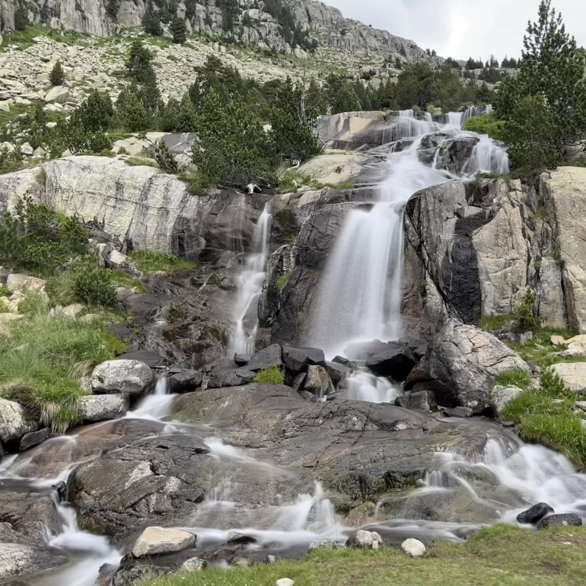
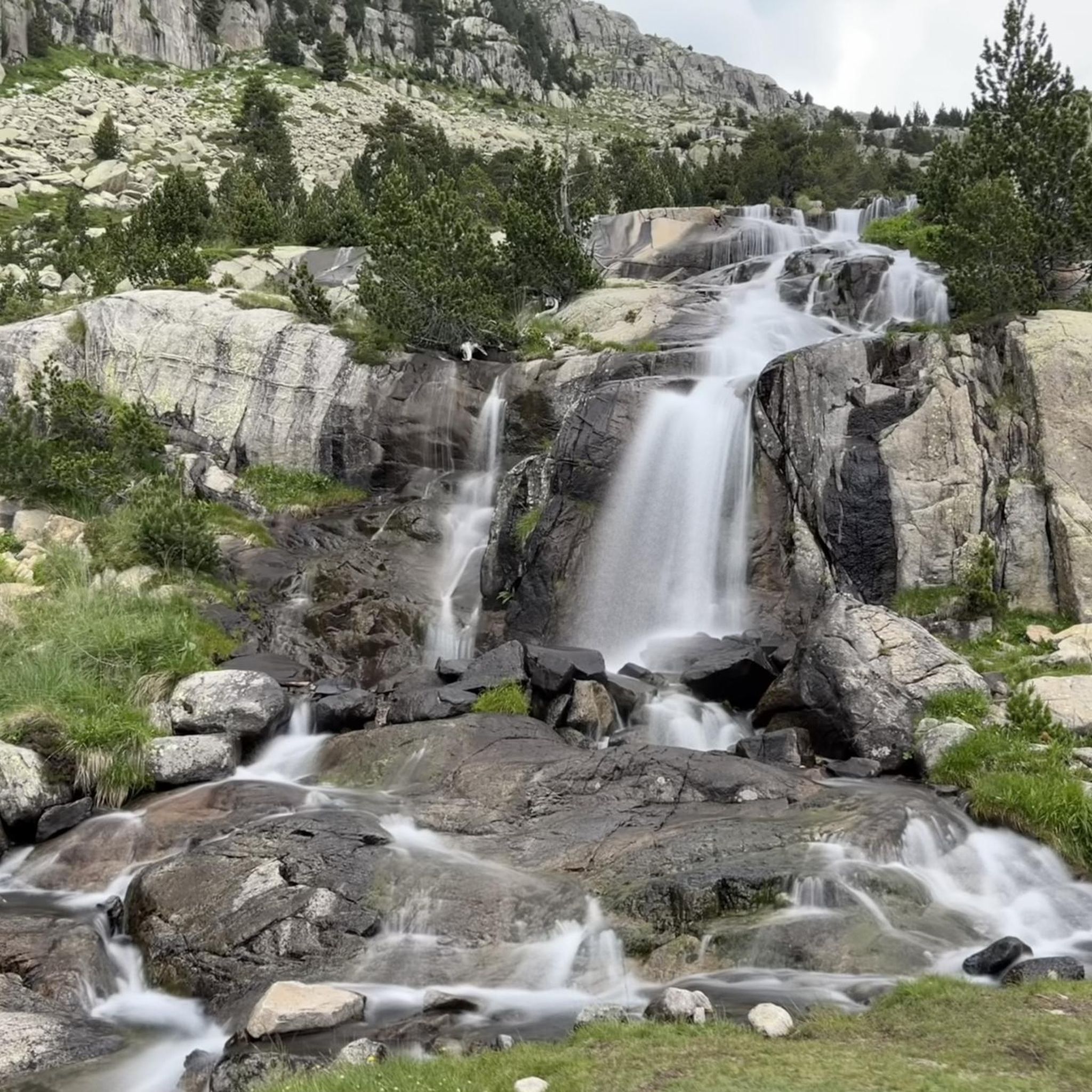
Touring cycling around Estany de Tumeneia de Dalt presents a challenging high-mountain environment within the Aigüestortes i Estany de Sant Maurici National Park. The terrain is characterized by rugged, unpaved paths and significant elevation changes, making it more suitable for mountain biking than traditional touring bicycles. Limited paved road access directly to the lake means routes often involve demanding sections. The area features a glacial landscape with surrounding peaks and alpine vegetation.
Best touring cycling routes around Estany de Tumeneia…
Last updated: July 10, 2026
24
riders
59.1km
04:24
1,340m
1,340m
Hard bike ride. Very good fitness required. Mostly paved surfaces. Suitable for all skill levels.
56
riders
17.9km
02:09
650m
650m
Hard bike ride. Very good fitness required. Mostly paved surfaces. Suitable for all skill levels.

Sign up for free
6
riders
8.76km
00:55
230m
220m
Moderate bike ride. Good fitness required. Mostly paved surfaces. Suitable for all skill levels.
5
riders
52.0km
04:28
1,350m
1,350m
Hard bike ride. Very good fitness required. You may need to push your bike for some segments of this route.
Our route recommendations are based on thousands of hikes, rides, and runs completed by other people on komoot.
Start today with a free account
Your next adventure awaits.
Login or Signup
Popular around Estany de Tumeneia de Dalt

Tips from the Community

Place with spectacular views
0
0

"The Vall de Boi is a narrow valley, carved deep into the Catalan Pyrenees. More than 1,000 years ago, seven small villages emerged in the valley, which no one would remember if nine Romanesque churches hadn't been built at that time. The isolation has contributed to the fact that at least some of these churches have been preserved almost in their original state," says the website for the television series "Treasures of the World - Heritage of Humanity." Comprising several hundred episodes, the series (in German) presents special places from all continents and eras that – despite all their diversity – have one thing in common: They have been awarded the honorary title of World Heritage Site by UNESCO. The film about the VALL DE BOI with its Romanesque churches is available in the ARD media library under the following link => https://www.ardmediathek.de/video/schaetze-der-welt/vall-de-boi-spanien-folge-260/swr/Y3JpZDovL3N3ci5kZS82ODk4NDYw
0
0


The internal road surrounds the reservoir by gravel, a very good view, but if you go on gravel you have to walk a bit.
0
0

The roof is already partially fallen in, I wouldn't sleep in it anymore. I put up my tent next to it.
1
0

The Nere river is one of the rivers that falls from the southern side of the Vall d'Aran mountains and collects the waters of the set of mountains, as is the case of Molieres. A river that enters from the south of the city and that crosses it with cold waters.
0
0
Point in this area that is called the Coret de Pruedo and that the pass allows us to see mountains such as the Salana or the Montardo.
0
0
Frequently Asked Questions
What kind of terrain can I expect on touring cycling routes around Estany de Tumeneia de Dalt?
The terrain around Estany de Tumeneia de Dalt is primarily a high-mountain environment within the Aigüestortes i Estany de Sant Maurici National Park. You can expect rugged, unpaved paths and significant elevation changes, making it more suitable for robust mountain bikes or demanding gravel bikes rather than traditional touring bicycles. The landscape features impressive glacial cirques, crystal-clear lakes, and dramatic mountain backdrops.
Are there many touring cycling routes available in this region?
While the region is renowned for its natural beauty, the immediate vicinity of Estany de Tumeneia de Dalt offers a limited number of routes specifically categorized for touring cycling due to its challenging terrain. Our guide features 3 touring cycling routes, with options ranging from moderate to difficult.
What is the difficulty level of touring cycling routes near Estany de Tumeneia de Dalt?
Touring cycling routes in this area are generally considered challenging. Out of the routes listed, 2 are rated as difficult, and 1 is moderate. This reflects the high-altitude, rugged, and often unpaved nature of the paths, which frequently involve substantial climbs and descents.
Are there any long-distance touring cycling routes in the area?
The longest touring cycling route featured in our guide is the Nere River in Vielha – Technical section loop from Noguera Ribagorçana, which spans 32.1 miles (51.7 km). This difficult route includes substantial elevation gain through varied terrain, typically taking around 4 hours and 30 minutes to complete.
Can I find family-friendly touring cycling routes around Estany de Tumeneia de Dalt?
The high-mountain and rugged terrain around Estany de Tumeneia de Dalt is generally not ideal for casual family touring cycling. The routes tend to be challenging, with unpaved sections and significant elevation changes. For more relaxed, family-friendly cycling, you might find more suitable options in other parts of the Pyrenees, such as the Val d'Aran or the foothills, which offer better-maintained roads and gentler gradients.
What is the best season for touring cycling in this high-altitude region?
Given the high-altitude glacial landscape, the best season for touring cycling around Estany de Tumeneia de Dalt is typically late spring to early autumn (June to September). Outside of these months, you may encounter snow, ice, or adverse weather conditions that make cycling difficult or unsafe. Always check local weather forecasts and trail conditions before heading out.
Are there any viewpoints or natural attractions along the touring cycling routes?
While specific viewpoints are not listed for these touring cycling routes, the entire region within the Aigüestortes i Estany de Sant Maurici National Park offers breathtaking alpine scenery. You'll be surrounded by impressive glacial landscapes, numerous crystal-clear glacial lakes, and significant peaks like Tuc de Roques Negres and Pa de Sucre, providing constant panoramic views.
What kind of wildlife might I encounter on the bike trails?
The Aigüestortes i Estany de Sant Maurici National Park is rich in diverse alpine wildlife. While cycling, you might spot chamois, marmots, and various bird species, including golden eagles. Remember to observe wildlife from a distance and avoid disturbing their natural habitat.
Is there public transport available to access touring cycling routes near Estany de Tumeneia de Dalt?
Direct public transport access to the immediate vicinity of Estany de Tumeneia de Dalt for touring cyclists is very limited due to its remote, high-mountain location within a national park. Access to the lake itself is typically on foot from mountain refuges or trailheads. You might find public transport options to larger towns in the Alta Ribagorça region, but reaching the specific trailheads would likely require further arrangements or private transport.
Where can I park my car if I want to go touring cycling?
Parking options near the trailheads for touring cycling routes around Estany de Tumeneia de Dalt can be limited due to the protected national park status and remote nature of the area. It's advisable to research specific parking areas for the starting points of routes like Prüedo Track – Cabañas de Prüedo loop from Estanh de Montcasau or Mountain Spring – Aiguamog River loop from Plan des Banhs. Often, parking might be available at the nearest accessible villages or designated park entrances, from where you might need to cycle or hike further to reach the specific route start.
Are there any cafes or pubs along the touring cycling routes?
Due to the remote and high-mountain nature of the touring cycling routes around Estany de Tumeneia de Dalt, you will find very few, if any, cafes or pubs directly along the trails. Mountain refuges, such as Refugi Ventosa i Calvell, serve as key points for hikers and may offer basic provisions or services, but it's essential to carry sufficient food and water for your ride. Plan to find amenities in larger towns or villages outside the immediate park area.
What do other touring cyclists say about the routes in this area?
The komoot community has explored the varied terrain around Estany de Tumeneia de Dalt, with over 60 touring cyclists using our platform here. While specific reviews are not aggregated, the general sentiment for this region highlights its challenging nature and stunning high-altitude glacial landscapes, making it a rewarding experience for those seeking robust and adventurous rides.
Most popular routes around Estany de Tumeneia de Dalt

Get inspired with the komoot mobile app


Explore more
Browse the best Cycling routes in other regions.
