The best MTB trails in Seal Bay Regional Nature Park
5.0
(1)
73
riders
5
rides
Seal Bay Regional Nature Park mountain bike trails traverse a diverse landscape spanning over 640 hectares, featuring dense Douglas-fir forests, tranquil wetlands, and open meadows. The park's extensive network includes trails that meander through deep ravines and along nearly one kilometer of beachfront and coastline. Riders encounter varied terrain, from challenging sections with rocks, wet spots, and roots, to more level and fairly easy paths, particularly on the west side of Bates Road. Remnants of the park's logging history, such…
Last updated: October 22, 2026
5.0
(1)
44
riders
44.0km
03:45
720m
720m
Hard mountain bike ride. Good fitness required. Advanced riding skills necessary. Some portions of the route may require you to push your bike.
13
riders
53.9km
04:31
800m
800m
Hard mountain bike ride. Good fitness required. Advanced riding skills necessary. Some portions of the route may require you to push your bike.

5
riders
30.7km
02:30
260m
260m
Hard mountain bike ride. Good fitness required. Advanced riding skills necessary. Some portions of the route may require you to push your bike.
7
riders
52.4km
04:20
900m
900m
Hard mountain bike ride. Very good fitness required. Advanced riding skills necessary. Some portions of the route may require you to push your bike.
4
riders
45.0km
03:20
370m
370m
Moderate mountain bike ride. Good fitness required. Advanced riding skills necessary.
Our route recommendations are based on thousands of hikes, rides, and runs completed by other people on komoot.
Start today with a free account
Your next adventure awaits.
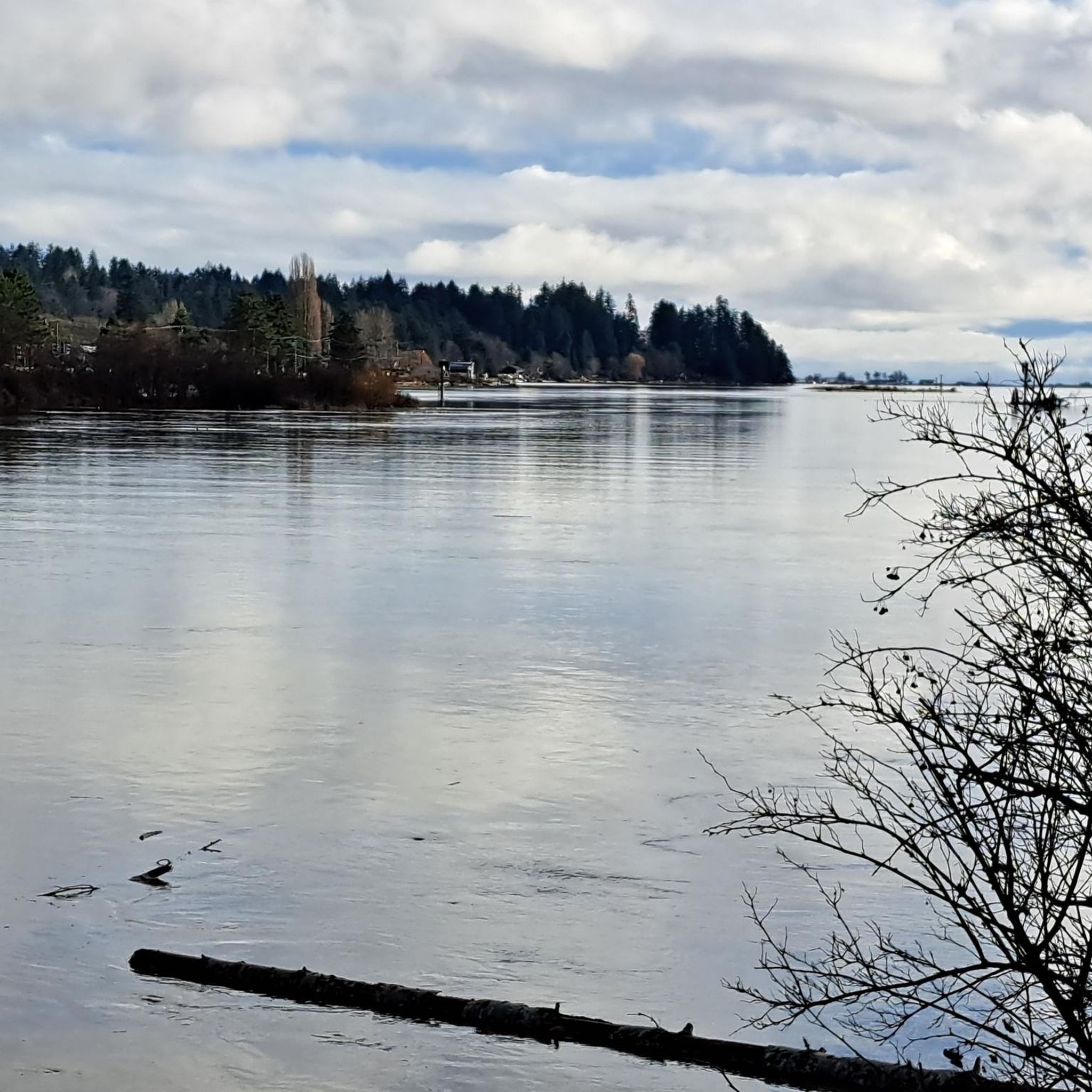
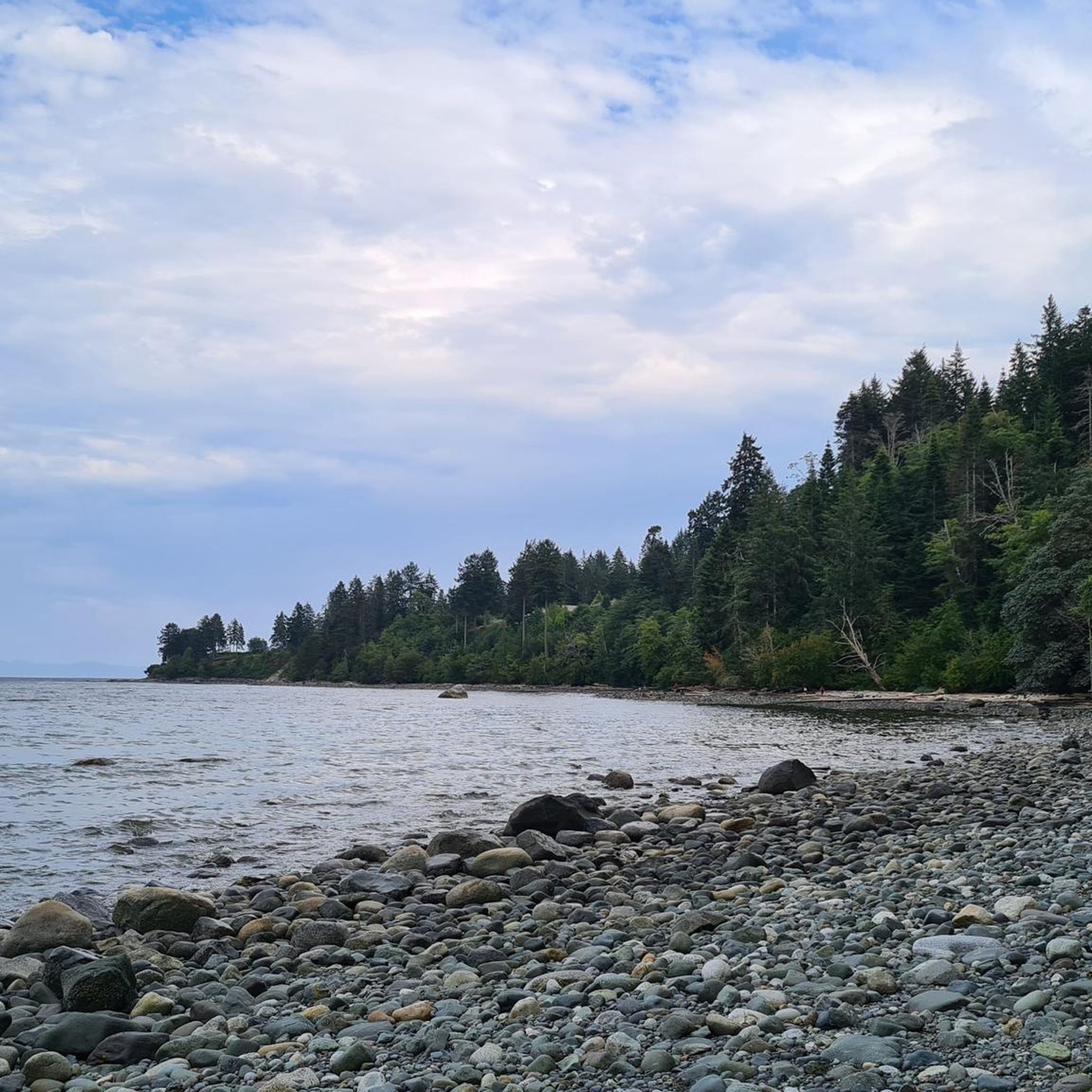
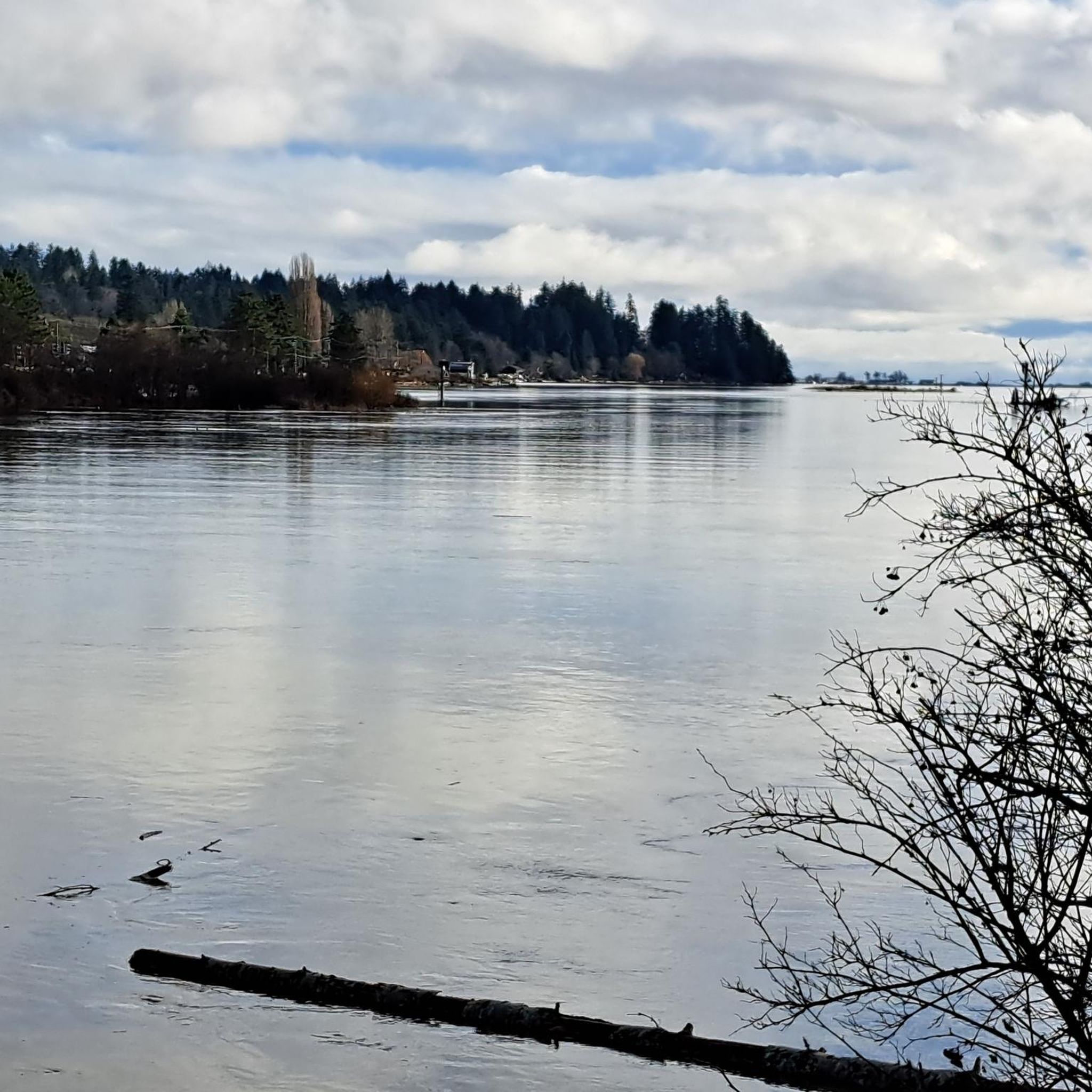
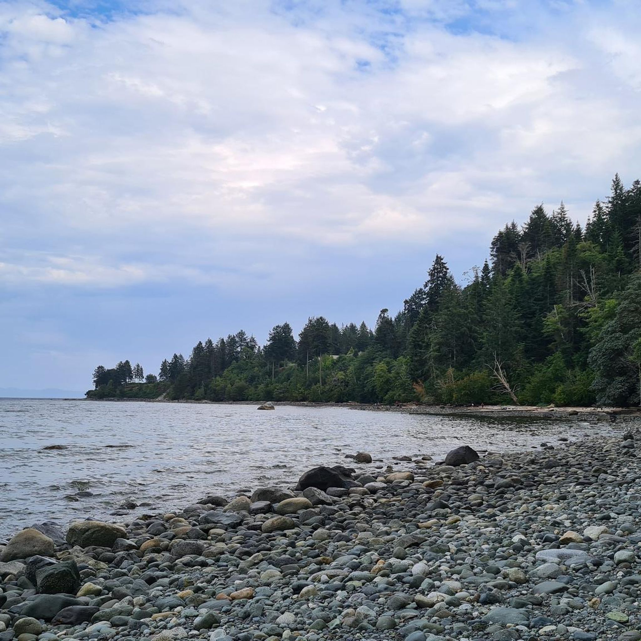
Tips from the Community

Highly recommend a visit to Cumberland if you are on Vancouver Island. Great riding area!
0
0

Very nice path to take me out of Courtenay.
0
0

The Puntledge River Trail is a fantastic way to explore the banks of the Puntledge River and Bevan City ruins. This area has bears, so be bear aware, and don't leave food in parked cars. The trail itself is really flat and well-maintained and passes through tall second growth forests with wonderful river viewpoints and a few swimming holes along the way.
0
0
The Puntledge River flows 48 kilometres from Comox Lake until reaching the Strait of Georgia. This river is teeming with life, with massive salmon runs as well as great swimming, tubing and hiking opportunities. Be careful when taking a dip as many areas have strong currents, so choose designated swimming holes in calm parts of the river.
0
0
Here, and scattered through Puntledge Forest, are ruins of old coal industrial infrastructure. What remains of this once busy industry are intakes, flumes, penstocks, cement foundations, scattered bricks, and remnants of chimneys from the original 20th-century coal mining settlement. Be careful while exploring for unstable structures, glass and more.
0
0

This path takes you through Courtenay's urban area, partially sheltered on either side by strips of greenery, between downtown and the riverfront. You share the path with cyclists, but the trail is paved and divided to ease multi-use traffic.
0
0

Comox Harbour is a sheltered inlet on the east coast of Vancouver Island, opening into the Strait of Georgia. The water is generally calm, shaped by tides that expose mudflats and sandbars along the shoreline. Backed by distant mountains and coastal communities, it forms a wide, open marine landscape that changes noticeably throughout the day.
0
0
Frequently Asked Questions
How many mountain bike trails are available in Seal Bay Regional Nature Park?
Seal Bay Regional Nature Park offers 7 mountain bike trails, catering to various skill levels. These include 2 moderate and 5 difficult routes, providing options for different riding preferences.
What kind of terrain and difficulty can I expect on the mountain bike trails in Seal Bay Regional Nature Park?
The park offers a diverse range of terrain. You'll find challenging sections with rocks, wet spots, and roots, particularly on some trails. However, there are also more level and fairly easy paths, especially on the west side of Bates Road. Trails meander through dense Douglas-fir forests, deep ravines, and along nearly one kilometer of beachfront, providing varied surfaces and experiences.
Are there any family-friendly or beginner mountain bike trails in Seal Bay Regional Nature Park?
While many trails offer challenging sections, the park does have more level and fairly easy paths, particularly on the west side of Bates Road. The multi-use "Forest Loop/ʔayigən" trail, which is 7.3 km long, is also suitable for a less strenuous ride, welcoming both bikes and horses.
What natural features or viewpoints can I expect to see while mountain biking in Seal Bay Regional Nature Park?
You'll ride through tall Douglas-fir forests, skirt deep ravines, and enjoy vast ocean views along the nearly one kilometer of beachfront. Keep an eye out for old-growth stumps with visible springboard marks, remnants of the park's logging history. The coastline is also a great spot to see harbor seals and various seabirds.
What wildlife might I encounter on the trails?
The park is home to diverse wildlife. You might spot marine life, various seabirds, deer, owls, ducks, and squirrels. Beavers are also commonly observed, and there are occasional sightings of cougars and bears, so it's always good to be aware of your surroundings.
Are there any specific loop trails for mountain biking in the park?
Yes, the park features a dedicated "Horse/Bike Loop" identified by yellow markers that circles the park. Additionally, the multi-use "Forest Loop/ʔayigən" trail is a 7.3 km loop that accommodates bikes.
What is the best time of year to go mountain biking in Seal Bay Regional Nature Park?
The park is accessible year-round, but conditions can vary. While the months of October through April are particularly good for seabird viewing, some trails may feature wet spots and roots, especially after rain. Always check local conditions before heading out.
Is parking available for mountain bikers at Seal Bay Regional Nature Park?
Yes, parking is available at the main access points to Seal Bay Regional Nature Park. New connector trails completed in June 2019 allow bikers to navigate the park without needing to ride on Bates Road, making access from various parking areas more convenient.
What do other mountain bikers enjoy most about the trails in Seal Bay Regional Nature Park?
The trails in Seal Bay Regional Nature Park are highly rated by the komoot community, with an average score of 5.0 stars from 2 reviews. More than 60 mountain bikers have used komoot to explore the varied terrain, often praising the diverse landscapes, from dense forests to coastal paths, and the mix of challenging and easier sections.
Can you recommend a challenging mountain bike route in the area?
For a challenging ride, consider the Cumberland & 20th Park loop from Courtenay. This difficult 43.7 km trail takes approximately 3 hours 41 minutes to complete and offers a demanding ride through varied forest terrain with significant elevation gain.
Are there any moderate mountain bike routes that combine riverside and forest sections?
Yes, the Courtenay River – Puntledge River loop from Courtenay is a popular moderate 42.3 km path. This route features a mix of scenic riverside paths and engaging forest sections, with an elevation gain of over 314 meters.
Is there a longer, more difficult route that explores the wider region?
For a longer and more difficult adventure, the Cumberland Community Forest – Cumberland & 20th Park loop from Courtenay covers 55 km. This route offers an extensive ride through varied landscapes, including the Cumberland Community Forest, with an elevation gain of nearly 800 meters.
Most popular routes in Seal Bay Regional Nature Park
Most popular attractions in Seal Bay Regional Nature Park

Get inspired with the komoot mobile app


Explore more
Browse the best MTB trails in other regions.
