The best cycling routes around Saint-Tite-des-Caps
4.6
(11)
428
riders
8
rides
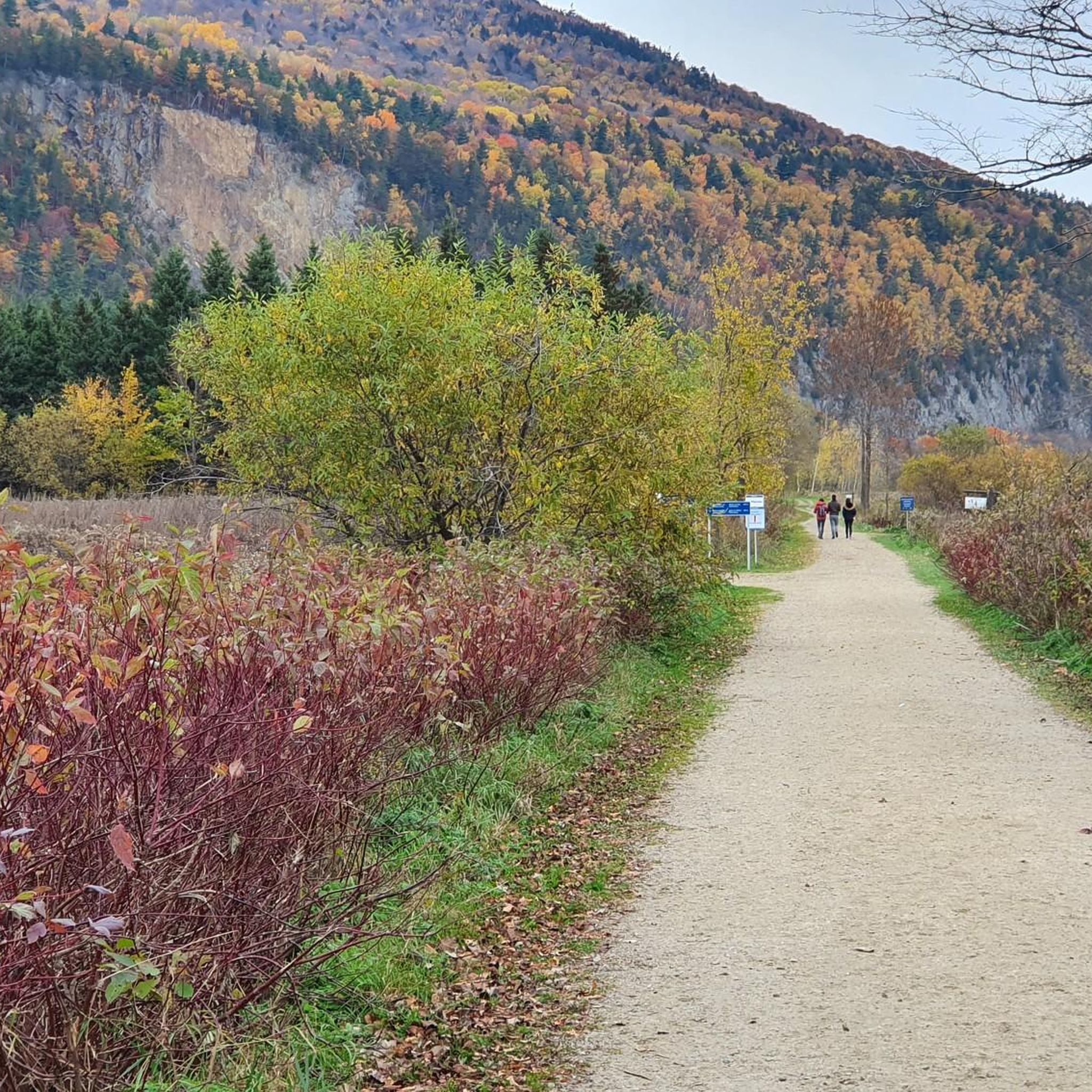
Touring cycling around Saint-Tite-des-Caps offers diverse landscapes, situated between the Laurentian Mountains and the St. Lawrence River. The region features varied elevation, with the town itself at about 1,060 feet (323 m) and surrounding areas reaching up to 1,870 feet (571 m). Cyclists can expect routes through lush forests, some offering views of the St. Lawrence River. The area is part of the Charlevoix Biosphere Reserve, known for its biodiversity.
Best touring cycling routes around Saint-Tite-des-Caps
- The most popular touring…
Last updated: June 29, 2026
42
riders
37.1km
02:21
290m
290m
Moderate bike ride. Good fitness required. Mostly paved surfaces. Suitable for all skill levels.
37
riders
19.1km
02:04
670m
670m
Hard bike ride. Very good fitness required. You may need to push your bike for some segments of this route.

Sign up for free
32
riders
Moderate bike ride. Good fitness required. Mostly paved surfaces. Suitable for all skill levels.
21
riders
Hard bike ride. Very good fitness required. Mostly paved surfaces. Suitable for all skill levels.
13
riders
31.7km
02:04
430m
430m
Moderate bike ride. Good fitness required. Mostly paved surfaces. Suitable for all skill levels.
Get access to more routes and recommendations from other explorers.
Sign up for free
Already have an account?
Our route recommendations are based on thousands of hikes, rides, and runs completed by other people on komoot.
Start today with a free account
Your next adventure awaits.
Login or Signup



Tips from the Community

Completed in 1926 in the neo-Gothic style, the cathedral is one of the most important pilgrimage sites in North America. It was visited by Pope John II (1984) and Pope Francis (2022).
0
0
Fountain with a statue of Saint Anne, erected in 2008 on the occasion of the 350th anniversary of the cathedral.
0
0
One of the most impressive churches in the province of Quebec.
0
0

The Sainte-Anne-de-Beaupré basilica is a Catholic church located in Sainte-Anne-de-Beaupré, not far from Quebec City (Canada). A place of pilgrimage, the main gathering occurs on July 26, during the feast of Saint Anne, civil and ecclesiastical patroness of Quebec, and the culmination of the novena. It has three insignia relics of the Holy Mother of the Virgin Mary. This basilica has also been designated a national shrine by the Canadian Conference of Catholic Bishops, like only a handful of other sites. (Source: Wikipedia)
0
0
Frequently Asked Questions
How many touring cycling routes are available around Saint-Tite-des-Caps?
There are 8 touring cycling routes documented on komoot for the Saint-Tite-des-Caps area. These routes cater to various fitness levels, ranging from moderate road rides to more challenging options with significant elevation gains.
What kind of terrain can I expect on touring cycling routes in Saint-Tite-des-Caps?
The region is characterized by mountainous terrain, offering varied elevation. You'll find routes through lush forests, with some providing splendid views of the St. Lawrence River. The village center is at 323m, while surrounding areas can reach up to 571m, ensuring diverse gradients for your tour.
Are there any easy touring cycling routes for beginners or those seeking a relaxed ride?
Yes, there is 1 easy touring cycling route available. While many routes feature elevation, options exist for those preferring a more relaxed pace. For example, the area offers moderate road rides suitable for various fitness levels, often on well-paved surfaces.
Are there any waterfalls or scenic viewpoints along the cycling routes?
Yes, the area is rich in natural beauty. You can find routes that pass near the impressive Sainte-Anne Waterfalls and Mont-à-Peine Falls. The Saint-François Observation Tower also offers panoramic views. Some routes, like the Beaupré Railway Bridge – Canyon Sainte-Anne loop from Chute Sainte-Anne, include varied terrain near the Sainte-Anne River, providing scenic vistas.
What do other touring cyclists say about the routes in Saint-Tite-des-Caps?
The touring cycling routes around Saint-Tite-des-Caps are highly rated by the komoot community, with an average score of 4.6 stars from over 10 reviews. Cyclists often praise the diverse landscapes, the blend of mountainous terrain, and the scenic river views.
Which routes offer views of the St. Lawrence River?
Many routes and trails in the Saint-Tite-des-Caps area offer splendid views of the St. Lawrence River, providing picturesque backdrops for your cycling tours. The region's location between the Laurentian Mountains and the river ensures numerous opportunities for scenic overlooks.
Are there any historical sites or cultural attractions accessible by bike?
Yes, you can explore the La Grande Ferme Historic Site, which is one of the nearby attractions. Cycling routes in the region often pass through areas with rich history and natural significance, such as those within the Charlevoix Biosphere Reserve.
What is the best time of year for touring cycling in Saint-Tite-des-Caps?
The region boasts magnificent old forests with vibrant colors, especially in autumn, making it a beautiful time for cycling. Summer also offers pleasant conditions to enjoy the diverse landscapes and natural features. Always check local weather conditions before heading out.
Are there any challenging routes for experienced touring cyclists?
Absolutely. Saint-Tite-des-Caps offers 4 difficult routes for experienced cyclists. For instance, the Mont Sainte-Anne loop from Chute Sainte-Anne is a difficult 19.1 km path featuring significant elevation gain, characteristic of the mountainous terrain. Another challenging option is the Beaupré Railway Bridge – Canyon Sainte-Anne loop from Hôtel de Ville Saint-Ferréol-les-Neiges.
Can I find circular touring cycling routes in the area?
Yes, many of the touring cycling routes around Saint-Tite-des-Caps are designed as loops. Examples include the Beaupré Railway Bridge – Canyon Sainte-Anne loop from Chute Sainte-Anne and the Saint Anne Fountain loop from Saint-Ferréol-les-Neiges, offering convenient starting and ending points.
What makes Saint-Tite-des-Caps a unique cycling destination?
Saint-Tite-des-Caps is unique due to its location within the Charlevoix Biosphere Reserve, a UNESCO-recognized area known for its rich biodiversity and breathtaking landscapes. The blend of mountainous terrain, lush forests, and views of the St. Lawrence River creates a distinctive and immersive cycling experience.
Are there any bridges or unique structures to see on the routes?
Yes, some routes incorporate interesting structures. For example, the Beaupré Railway Bridge – Canyon Sainte-Anne loop from Saint-Ferréol-les-Neiges features the Beaupré Railway Bridge. Additionally, you might encounter the Suspension Bridge View of Sainte-Anne-du-Nord River and Waterfall as a nearby highlight.
Most popular attractions around Saint-Tite-des-Caps

Get inspired with the komoot mobile app


Explore more
Browse the best Cycling routes in other regions.
