The best running trails around Otonabee-South Monaghan
22
runners
5
runs
Jogging around Otonabee-South Monaghan offers diverse terrain, from flat, open spaces to rolling hills and dense forests. The region is characterized by picturesque farmlands, significant waterways like the Otonabee River and Rice Lake, and areas featuring tall grass prairies. This varied landscape provides a serene and engaging environment for runners seeking different experiences.
Best jogging routes around Otonabee-South Monaghan
- The most popular jogging route is Running loop from Peterborough, a 4.2 miles (6.7 km) trail that takes about 42…
Last updated: June 29, 2026
6
runners
17.5km
01:50
90m
90m
Hard run. Very good fitness required. Mostly paved surfaces. Suitable for all skill levels.
4
runners
6.68km
00:42
30m
30m
Moderate run. Good fitness required. Mostly paved surfaces. Suitable for all skill levels.

Sign up for free
4
runners
8.24km
00:51
30m
30m
Moderate run. Good fitness required. Mostly paved surfaces. Suitable for all skill levels.
6
runners
7.94km
00:59
100m
100m
Moderate run. Good fitness required. Mostly paved surfaces. Suitable for all skill levels.
1
runners
10.5km
01:05
60m
60m
Moderate run. Good fitness required. Mostly paved surfaces. Suitable for all skill levels.
Our route recommendations are based on thousands of hikes, rides, and runs completed by other people on komoot.
Start today with a free account
Your next adventure awaits.
Login or Signup
Popular around Otonabee-South Monaghan

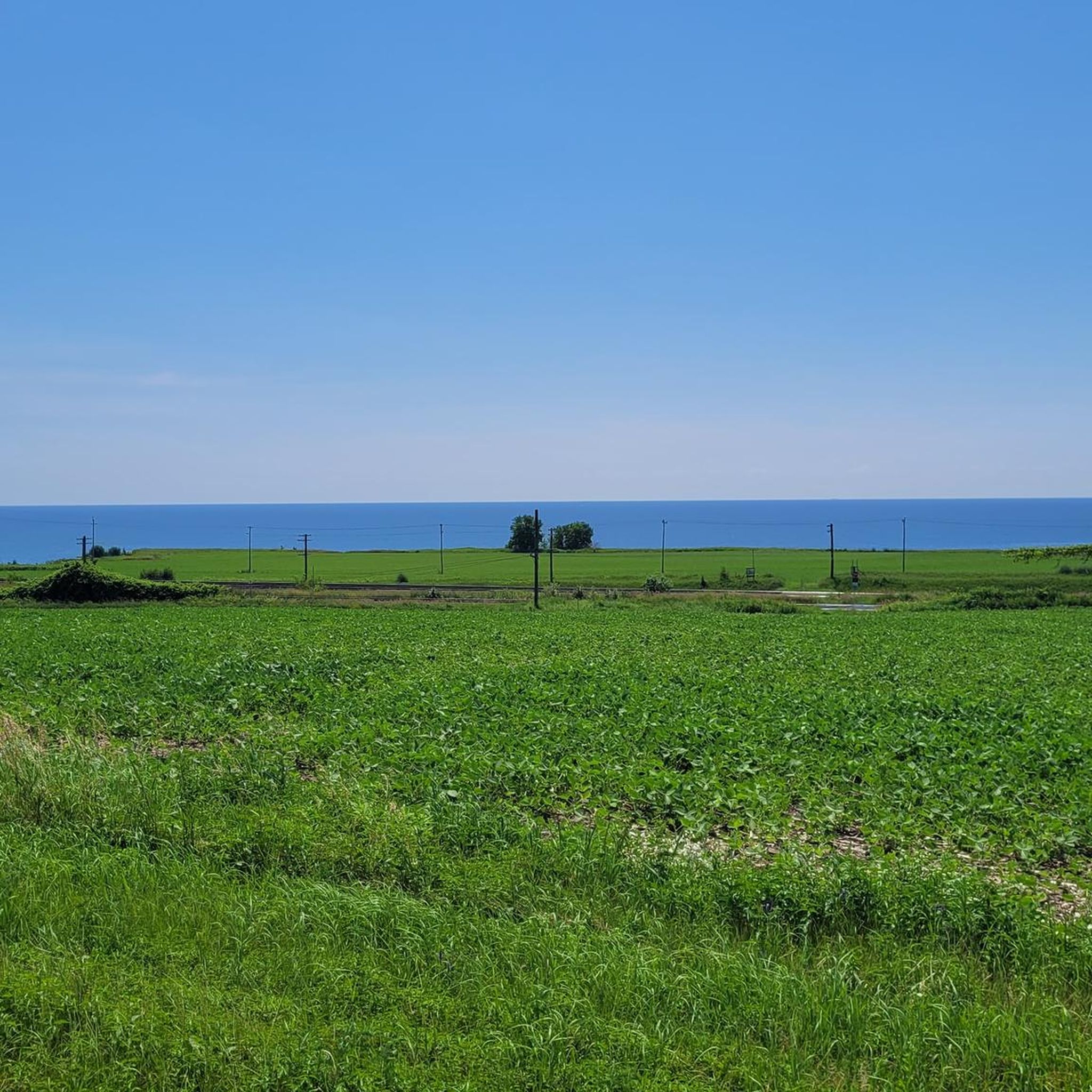
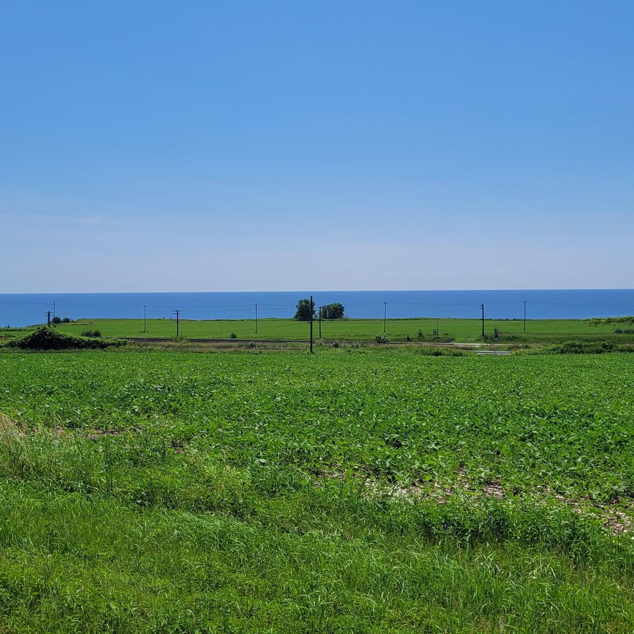
Tips from the Community

Jackson Park is a beautiful green space in the heart of Peterborough, often referred to as the city’s Central Park, designed between 1894 and 1895 by local engineer John Belcher. The park is a long, winding oasis along Jackson Creek, with a picturesque pond, open grassy areas, woodland trails, a playground, and picnic tables, making it a great spot to spend a few hours soaking up the natural beauty of one of Peterborough’s most beloved parks.
0
0
The Pagoda Bridge is a charming covered bridge over Jackson Creek, situated at the south end of Dixon Mill Pond in Jackson Park in the heart of Peterborough. Built between 1894 and 1895, it's a lovely example of Victorian architecture, with a distinctive bell cast roof that inspired its name. Designated as a heritage property by the City of Peterborough, the bridge is an important part of Jackson Park and its connection to the citizens who contributed to its restoration.
0
0
Frequently Asked Questions
What types of running terrain can I expect in Otonabee-South Monaghan?
Otonabee-South Monaghan offers a diverse range of running terrain. You'll find everything from flat, open spaces ideal for leisurely runs to more challenging rolling hills and significant elevations, particularly in areas like the Harold Town Conservation Area. The region also features runs through tall grass prairies, dense forests of beech, elm, hemlock, and maple trees, and scenic routes along waterways like the Otonabee River and Rice Lake.
Are there any challenging running routes for experienced runners?
Yes, for those seeking a more rigorous experience, the region offers routes with demanding elevations and varied topography. A notable option is the Harold Town Conservation Area loop from Harold Town Conservation Area, which is a moderate 4.9-mile (7.9 km) path known for its challenging and beautiful terrain. Another more difficult option is the Dixon Mill Pond – Otonabee River loop from Peterborough, a 10.9-mile (17.5 km) route with significant elevation changes.
Are there any easy or beginner-friendly jogging routes?
While the guide primarily features moderate to difficult routes, many sections of the Trans-Canada Trail, which passes through Otonabee-South Monaghan, offer relatively flat and well-maintained surfaces suitable for beginners or those looking for an easier run. These sections often follow old railway beds, providing a smooth experience.
Can I bring my dog on the running trails in Otonabee-South Monaghan?
Many trails in Otonabee-South Monaghan are dog-friendly, but it's always best to check specific park or conservation area regulations before heading out. Areas like Millbrook Valley Trails are known to welcome dogs. Please ensure your dog is on a leash and you clean up after them to maintain the natural beauty of the trails.
Are there any family-friendly or stroller-accessible running routes?
For family-friendly outings or routes suitable for strollers, consider sections of the Trans-Canada Trail. Its well-maintained, relatively flat surface, often on old railway beds, makes it a good choice. Additionally, many local parks and green spaces, such as David N. McIntyre Memorial Park, may offer paved paths or smoother trails suitable for families and strollers.
Are there loop running trails available in the area?
Yes, there are several excellent loop running trails. For example, the Running loop from Peterborough is a popular 4.2-mile (6.7 km) moderate loop. Another great option is the Otonabee River loop from Donwood, which is a 6.5-mile (10.5 km) route offering scenic views along the river.
What are some scenic highlights or natural features I might see while running?
Jogging in Otonabee-South Monaghan offers stunning natural beauty. You can expect to see picturesque farmlands, dense forests, and significant waterways. Routes along the Otonabee River and near Rice Lake provide tranquil waterfront scenery. Areas like Mark S. Burnham Provincial Park feature runs through mature forests, while Harold Town Conservation Area offers refreshing beauty with its varied topography.
Where can I find parking for these running routes?
Parking is generally available at key access points for many trails and conservation areas. For instance, Harold Town Conservation Area and Mark S. Burnham Provincial Park have dedicated parking facilities. For the Trans-Canada Trail, you can often find parking at various access points along its length, including near the Lang-Hastings Trail section. It's advisable to check specific trailheads for parking availability.
What is the best time of year to go running in Otonabee-South Monaghan?
The spring, summer, and fall seasons generally offer the most pleasant conditions for running in Otonabee-South Monaghan. Spring brings blooming flora, while summer provides lush greenery. Fall is particularly scenic with vibrant autumn foliage. During summer, be mindful of potential bugs, especially near water bodies or in dense forest areas. Winter running is also possible for those prepared for snow and colder temperatures, with some trails maintained for multi-use.
Are there any routes that follow the Otonabee River?
Yes, the Otonabee River is a prominent feature of the region, and several running routes offer beautiful views along its banks. A popular choice is the Otonabee River loop from Donwood, a 6.5-mile (10.5 km) trail that leads through scenic areas directly alongside the river.
How many running routes are available in Otonabee-South Monaghan?
Komoot features 5 curated running routes in Otonabee-South Monaghan, ranging from moderate to difficult. These routes showcase the diverse landscapes of the region, from urban starts to challenging conservation areas and scenic river paths.
Most popular routes around Otonabee-South Monaghan
Most popular attractions around Otonabee-South Monaghan

Get inspired with the komoot mobile app


Explore more
Browse the best Running Trails & Routes in other regions.
