The best cycling routes around Dysart et al
26
riders
5
rides
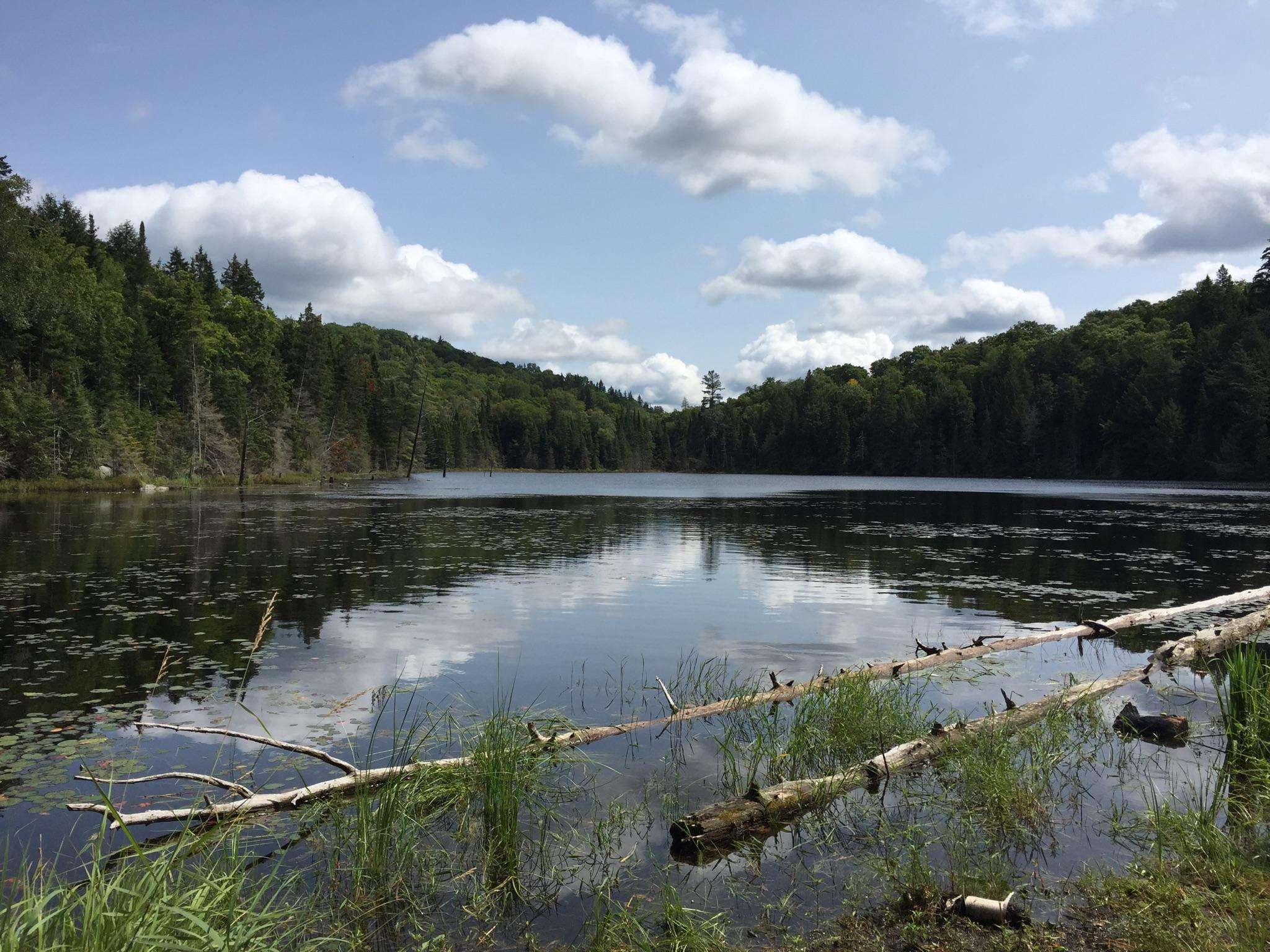
Touring cycling routes around Dysart et al traverse the rugged beauty of Ontario's Haliburton Highlands. This region, part of the Canadian Shield, features rolling hills, over 600 lakes, and numerous rivers, providing varied topography for cyclists. The landscape includes extensive forests and quiet cottage roads, offering diverse experiences from challenging climbs to relatively level rides. Cyclists can expect a mix of paved roads and multi-use gravel trails.
Best touring cycling routes around Dysart et al
- The most popular touring cycling route is Drag River loop from Canning Lake, a 31.5 miles (50.7 km) trail that takes 3 hours 43 minutes to complete. This moderate route offers a substantial ride through the region's characteristic lake and forest scenery.
- Another top favourite among local touring cyclists is Amaleen Lake loop from Haliburton, a difficult 27.9 miles (44.9 km) path. This route features significant elevation changes, characteristic of the Canadian Shield landscape.
- Local touring cyclists also love the Back 9 loop from Wallace Island, a 25.6 miles (41.2 km) trail leading through rolling hills and forested areas, often completed in about 2 hours 54 minutes.
- Touring cycling around Dysart et al is defined by rolling hills, numerous lakes, and extensive forests, offering options for different ability levels.
- The guide includes highly-rated routes that showcase the best of the region's landscape. More than 20 touring cyclists have used komoot to explore Dysart et al's varied terrain.
Last updated: October 15, 2026
8
riders
50.7km
03:50
330m
330m
Moderate bike ride. Good fitness required. Mostly paved surfaces. Suitable for all skill levels.
5
riders
12.0km
00:46
120m
120m
Easy bike ride. Great for any fitness level. Mostly paved surfaces. Suitable for all skill levels.

5
riders
41.1km
02:55
260m
260m
Moderate bike ride. Good fitness required. Mostly paved surfaces. Suitable for all skill levels.
3
riders
44.9km
02:48
470m
470m
Hard bike ride. Very good fitness required. Mostly paved surfaces. Suitable for all skill levels.
3
riders
58.9km
04:10
680m
680m
Hard bike ride. Very good fitness required. Mostly paved surfaces. Suitable for all skill levels.
Our route recommendations are based on thousands of hikes, rides, and runs completed by other people on komoot.
Start today with a free account
Your next adventure awaits.
Popular around Dysart et al
Frequently Asked Questions
What types of touring cycling routes can I find in Dysart et al?
Dysart et al offers a diverse range of touring cycling experiences. You'll find a mix of paved roads, from quiet cottage routes to more challenging secondary highways, and multi-use gravel trails. The region's landscape, characterized by the Canadian Shield, provides everything from relatively flat sections to significant rolling hills and elevation changes.
Are there any easy touring cycling routes suitable for beginners or families?
Yes, for an easier ride, consider the Bike loop from Haliburton, which is an easy 11.9 km (7.4 miles) route. Additionally, the Haliburton County Rail Trail is a 35-kilometer multi-use gravel trail known for being relatively flat and family-friendly, with stone benches for breaks. For a paved option, the 'Northshore Road Route' offers a quiet, relatively level out-and-back ride.
Where can I find challenging touring cycling routes in the region?
For a more challenging experience, Dysart et al has several options with significant elevation changes. The Amaleen Lake loop from Haliburton is a difficult 44.9 km (27.9 miles) route with substantial climbs. Another demanding option is the Amaleen Lake – Drag River loop from Redstone Lake, a difficult 58.9 km (36.6 miles) ride. The 'Gooderham/Tory Hill/Haliburton Loop' (104 km) is also noted for its challenging hills and Canadian Shield outcrops.
Are there any gravel or rail trails for touring cyclists?
Absolutely. The Haliburton County Rail Trail is a prominent 35-kilometer multi-use gravel trail, perfect for hybrid or mountain bikes. It runs between Haliburton and Kinmount, passing through forests, past rivers, and over heritage bridges. This trail also connects to the Victoria Rail Trail for extended adventures. The Haliburton Forest and Wild Life Reserve also offers over 300 km of forest access roads and multi-use gravel trails for a more remote experience (a day permit is required).
What kind of scenery can I expect along the touring cycling routes in Dysart et al?
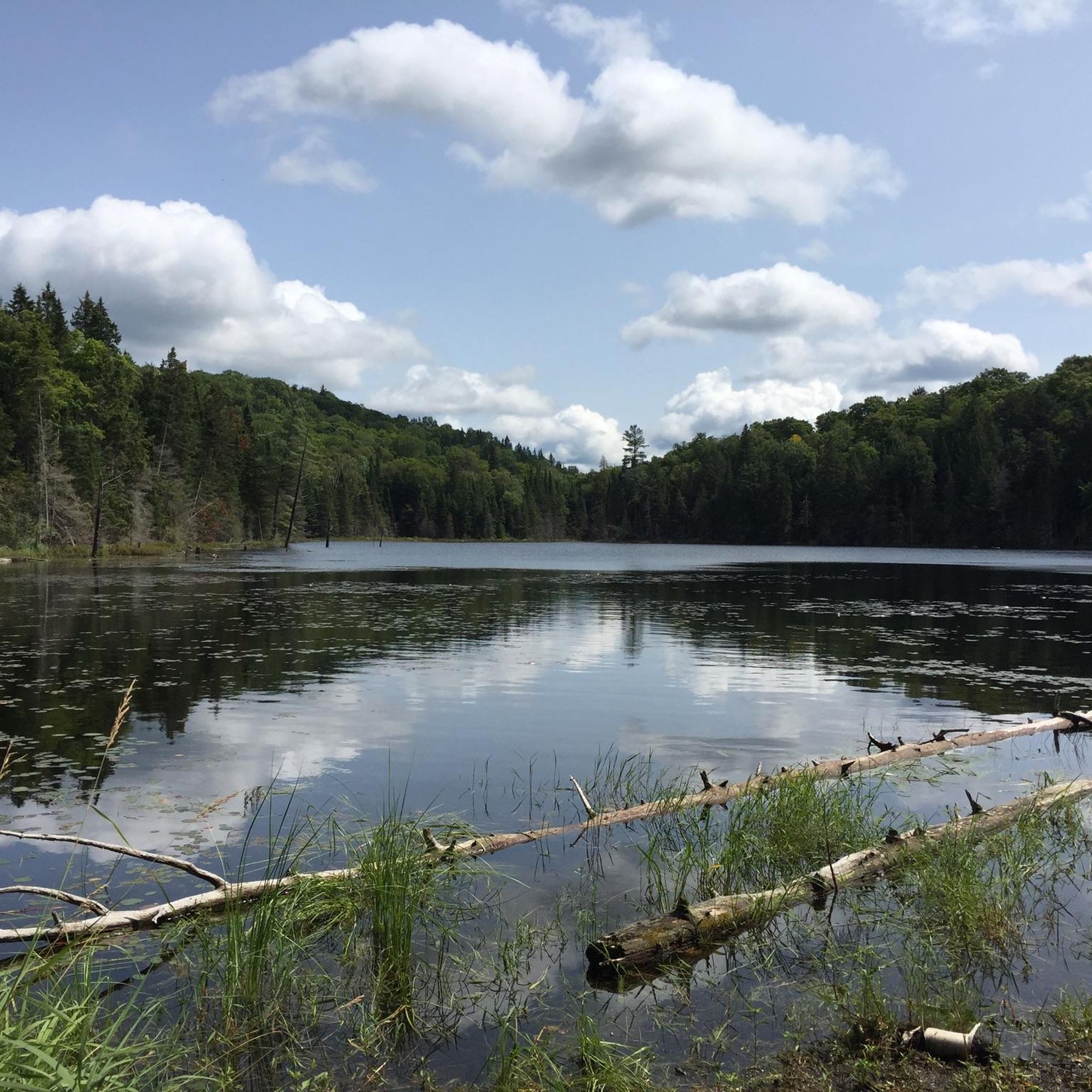
The region is part of the Canadian Shield, so you can expect rugged natural beauty. Routes often feature rolling hills, extensive forests, and views of numerous lakes and rivers. Many roads hug picturesque shorelines, and you'll encounter scenic vistas, wetlands, and Canadian Shield rock formations. The Haliburton County Rail Trail, for instance, offers views of provincially significant wetlands, ideal for birdwatching.
Are there any circular touring cycling routes?
Yes, many of the routes in Dysart et al are loops, allowing you to start and end at the same point. Examples include the moderate Drag River loop from Canning Lake (50.7 km), and the moderate Back 9 loop from Wallace Island (41.2 km). The 'Haliburton Highlands North Loop' (99 km) is another popular circular paved route.
What are some interesting places to explore or attractions near the cycling routes?
Beyond the cycling itself, you can visit the Haliburton Sculpture Forest in Glebe Park, which features outdoor art along trails suitable for walking and biking. The routes often pass through charming villages like Haliburton, Minden, and Kinmount, offering opportunities to stop at local cafes and eateries. The area is also known for its artist studios. While not directly in Dysart et al, the nearby Dorset Lookout Tower provides panoramic views of the landscape.
Where can I find food, cafes, or accommodation along the touring cycling routes?
Many routes pass through or near charming villages such as Haliburton, Minden, Carnarvon, Fort Irwin, West Guilford, Irondale, and Kinmount, where you can find places to refuel. Specific mentions include 'The Little Tart' bakery in Donald and riverside brewpubs in Minden. The 'Northshore Road Route' also has restaurants at its halfway point.
What is the best time of year for touring cycling in Dysart et al?
The best time for touring cycling in Dysart et al is typically spring, summer, and fall. These seasons offer pleasant weather for exploring the diverse landscapes. Fall is particularly scenic with the changing foliage. Winter cycling is possible on some trails, but conditions can be challenging due to snow and ice.
How many touring cycling routes are available in Dysart et al?
There are over 5 touring cycling routes detailed in this guide for Dysart et al, catering to various skill levels from easy to difficult. The Haliburton Highlands region, in general, offers a much wider network, with resources like the Ride with GPS app listing nearly 40 curated routes.
Are there options for parking and trailheads for cyclists?
While specific parking details for every route are best checked on individual tour pages, many villages and trail access points in Dysart et al offer parking facilities. For instance, the Haliburton County Rail Trail has access points in communities like Haliburton and Kinmount, which typically provide parking for trail users.
What do other touring cyclists enjoy most about cycling in Dysart et al?
Touring cyclists frequently praise the diverse and scenic landscapes of Dysart et al. The mix of quiet paved roads and multi-use gravel trails, combined with the rugged beauty of the Canadian Shield, including its numerous lakes, rivers, and forests, offers a rewarding experience. The opportunities to explore charming villages and enjoy local eateries are also highly valued.
Most popular routes around Dysart et al

Get inspired with the komoot mobile app


Explore more
Browse the best Cycling routes in other regions.
