The best running trails around Area C (Moyie/Bull River)
5.0
(1)
96
runners
11
runs
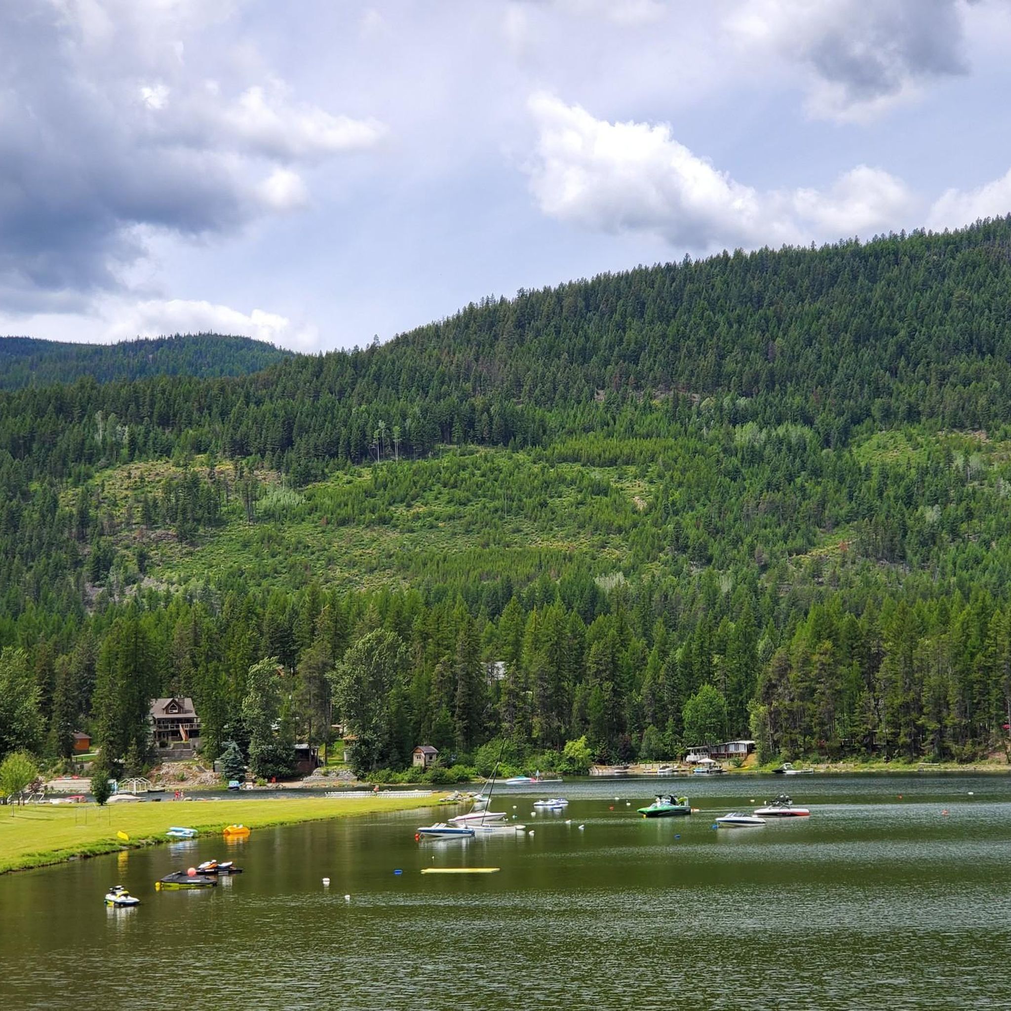
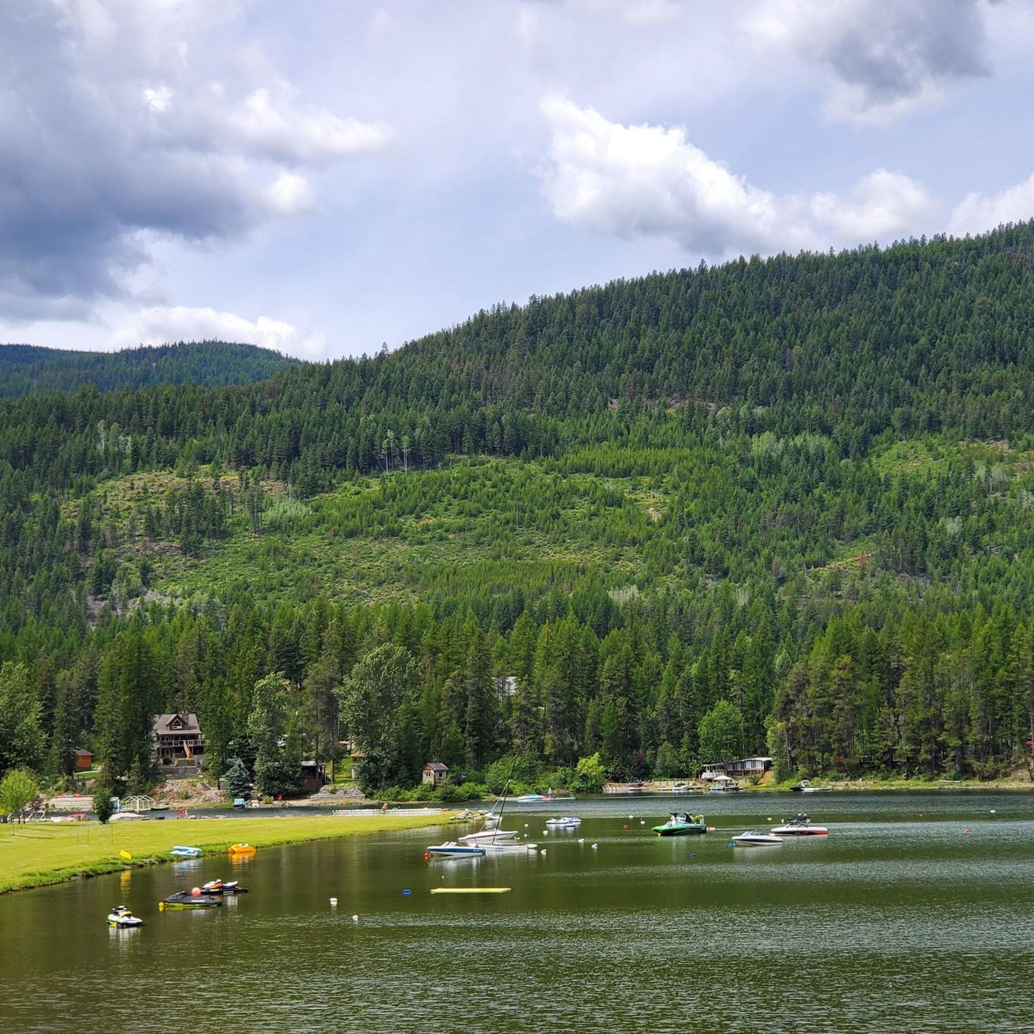
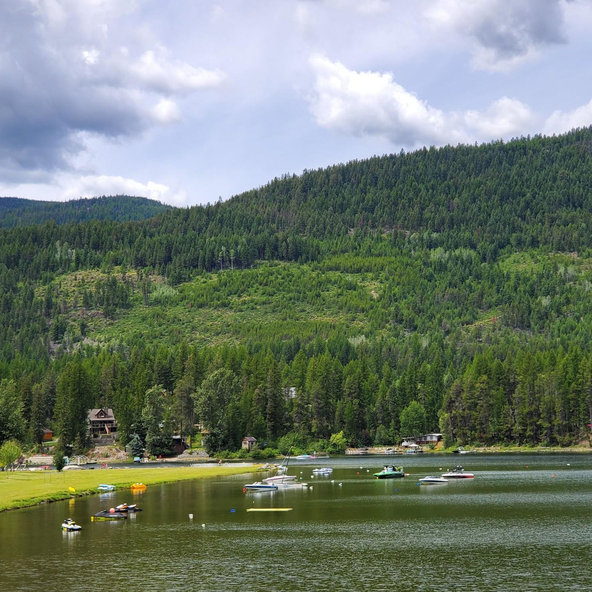
Jogging around Area C (Moyie/Bull River) offers a diverse landscape characterized by mountainous terrain, dense forests, and significant river systems. The region, located in British Columbia, Canada, provides varied topography for runners. Trails often follow the Moyie River and Bull River, which originate in the Rocky Mountains, creating scenic environments. These river valleys are flanked by pine and cedar forests, offering varied running routes.
Best jogging routes around Area C (Moyie/Bull River)
- The most popular jogging route is Mount Procter…
Last updated: July 12, 2026
14
runners
10.9km
01:16
90m
90m
Moderate run. Good fitness required. Mostly paved surfaces. Suitable for all skill levels.
14
runners
18.8km
03:23
1,350m
1,350m
Hard run. Very good fitness required. Mostly paved surfaces. Suitable for all skill levels.

Sign up for free
21
runners
6.47km
00:41
30m
30m
Moderate run. Good fitness required. Mostly paved surfaces. Suitable for all skill levels.
5.0
(1)
9
runners
8.67km
00:58
30m
30m
Moderate run. Good fitness required. Mostly paved surfaces. Suitable for all skill levels.
8
runners
6.63km
00:42
60m
60m
Moderate run. Good fitness required. Mostly paved surfaces. Suitable for all skill levels.
Get access to more routes and recommendations from other explorers.
Sign up for free
Already have an account?
Our route recommendations are based on thousands of hikes, rides, and runs completed by other people on komoot.
Start today with a free account
Your next adventure awaits.
Login or Signup

Tips from the Community

The Elk River flows 220 kilometres until reaching the Lake Koocanusa reservoir by the U.S.-Canada border. It is managed as a "Quality Waters Fishery," which is open to fishing with certain regulations so as to help with larger, healthier fish populations. There's also summer rafting, with rapids near Fernie, and a mellower river float.
0
0
Fernie is a little mountain town, home to year-round outdoor activity. In winter there's the Fernie Alpine Resort for skiing and snowboarding, and in summer there's downhill biking, hiking, and resort activities. Fernie has a population under 10,000 people, and it has a charming downtown to explore.
0
0
The Fairy Creek Pedestrian and Cyclist Bridge is a wooden-covered bridge with a wooden carving of "Fernie" on top, sitting just 400 meters west of the Tourism Fernie centre. It's an iconic local landmark and is best experienced from the bike path and not the road.
0
0

Coal Creek flows down from the mountains outside of Fernie before emptying into the Elk River. There's a ghost-town of the same name along its stretch that was abandoned after the local mine closed in the 1950s.
0
0
Located in in southeastern British Columbia, Fernie is known for its deep powder snow in the winter and its historic downtown area. However, like many other ski towns, Fernie has plenty of mountain bike trails to entice visitors throughout the summer. You'll find everything from gentle gravel trails to lift serviced downhill runs.
0
0

The Volksmarchtrail starts here and runs parallel to the cycle path
0
0
Frequently Asked Questions
How many running routes are available in Area C (Moyie/Bull River)?
There are over 10 dedicated running routes in Area C (Moyie/Bull River) listed on komoot, offering a variety of experiences from easy riverside paths to more challenging ascents through mountainous terrain.
What kind of terrain can I expect on the jogging trails in this region?
The running routes in Area C (Moyie/Bull River) feature diverse terrain, including paths along river valleys, through dense pine and cedar forests, and up into mountainous backdrops. You'll find everything from relatively flat riverfront paths to trails with significant elevation gain.
Are there any easy or beginner-friendly running routes in Area C?
Yes, there are options suitable for beginners. For example, the Boat Launch and Outhouse loop from Fernie is a moderate 4.0-mile (6.5 km) path with a relatively flat profile, ideal for a steady run along riverfront areas. The region also offers easy strolls along the Moyie River Crossing recreational site.
Can I find challenging running trails with significant elevation in the Moyie/Bull River area?
Absolutely. For those seeking a challenge, the Mount Procter – Fairy Creek Falls loop from Fernie Historic Oil Derrick is a difficult 11.8-mile (19.0 km) trail featuring significant elevation gain through mountainous terrain, perfect for experienced runners.
What natural features or attractions can I see while running in Area C?
Runners can enjoy stunning natural beauty, including the clear waters of the Moyie and Bull Rivers, dense pine and cedar forests, and dramatic mountainous backdrops from the Rocky, Purcell, and Cabinet Mountains. The Moyie River itself is known for its rugged gorges and an 85-foot waterfall near its mouth, while Moyie Lake Provincial Park offers a beautiful setting with a sandy beach and marshland.
Are there any family-friendly running or walking options in the region?
Yes, the area provides several family-friendly options. Easy trails like the Moyie Falls trail (2.1 km) or the scenic pathways along the Moyie River Crossing recreational site offer serene environments suitable for families to enjoy a walk or light jog together.
What is the best time of year to go jogging in Area C (Moyie/Bull River)?
The region is beautiful year-round, but spring, summer, and fall offer the most pleasant conditions for running, with lush greenery and comfortable temperatures. The clear waters and dense forests are particularly inviting during these seasons. Winter running is possible, but trails may be affected by snow and ice, requiring appropriate gear.
Are there any circular running routes available?
Yes, many routes in the area are designed as loops, allowing you to start and finish at the same point. For instance, the Elk River – Coal Creek loop from Fernie is a 7.1-mile (11.4 km) trail that leads through river valleys and forested sections, offering a great circular experience.
What do other runners enjoy most about the trails in Area C (Moyie/Bull River)?
The komoot community highly rates the diverse terrain and scenic beauty of Area C. Runners often praise the invigorating environment created by the clear waters, dense forests, and mountainous backdrops, as well as the variety of options available for different ability levels.
Is there parking available near the running trailheads?
While specific parking details vary by trailhead, many popular recreational sites and trail access points in the Moyie and Bull River regions, such as the Moyie River Crossing, typically offer parking facilities. It's always advisable to check specific route details for precise parking information.
Can I access any of the running routes using public transport?
Public transport options directly to many remote trailheads in Area C (Moyie/Bull River) may be limited due to the region's natural and expansive character. Access is generally easier by personal vehicle, especially for trails further into the wilderness areas.
Are there any routes that follow the Bull River specifically?
Yes, the Bull River Valley offers trails that follow the river. The Bull River Trail, for example, is described as an easy 7.7-kilometer loop that provides spectacular views of the crystal-clear river and valley, flowing through forests, wetlands, and gravel bars.
Most popular routes around Area C (Moyie/Bull River)
Most popular attractions around Area C (Moyie/Bull River)

Get inspired with the komoot mobile app


Explore more
Browse the best Running Trails & Routes in other regions.
