The best running trails around Cowichan Valley F
4.0
(2)
60
runners
6
runs
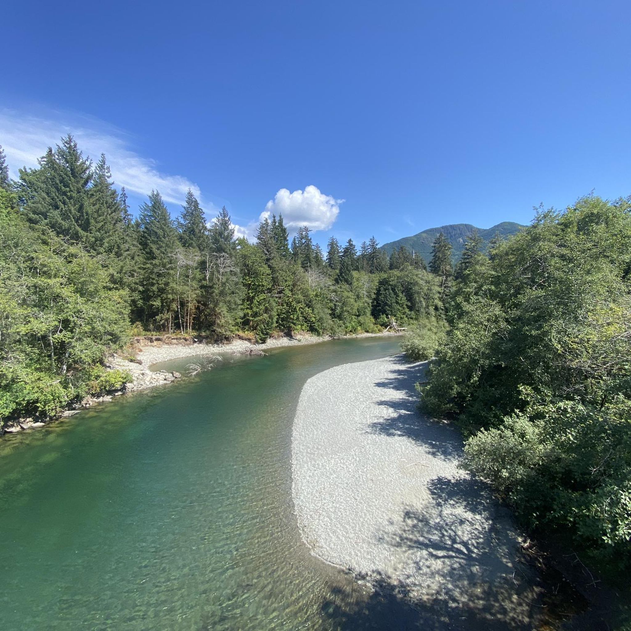
Jogging around Cowichan Valley F offers diverse landscapes and an extensive trail network, ideal for year-round outdoor pursuits due to its mild climate. The region features varied terrains, from the wide, flat crushed gravel of the Cowichan Valley Trail, which includes historic railway trestles like the Kinsol Trestle, to more challenging routes with significant elevation gain. Runners can explore areas characterized by second-growth forests, views over Shawnigan Lake and the Salish Sea, and extensive riverside trails along the Cowichan River.…
Last updated: October 15, 2026
18
runners
Hard run. Very good fitness required. Mostly paved surfaces. Suitable for all skill levels.
4.0
(2)
20
runners
11.6km
01:18
200m
200m
Moderate run. Good fitness required. Mostly paved surfaces. Suitable for all skill levels.

6
runners
9.28km
01:15
340m
340m
Hard run. Very good fitness required. Mostly paved surfaces. Suitable for all skill levels.
6
runners
2.78km
00:21
60m
60m
Easy run. Great for any fitness level. Mostly paved surfaces. Suitable for all skill levels.
8
runners
9.55km
01:24
420m
420m
Hard run. Very good fitness required. Mostly paved surfaces. Suitable for all skill levels.
Our route recommendations are based on thousands of hikes, rides, and runs completed by other people on komoot.
Start today with a free account
Your next adventure awaits.
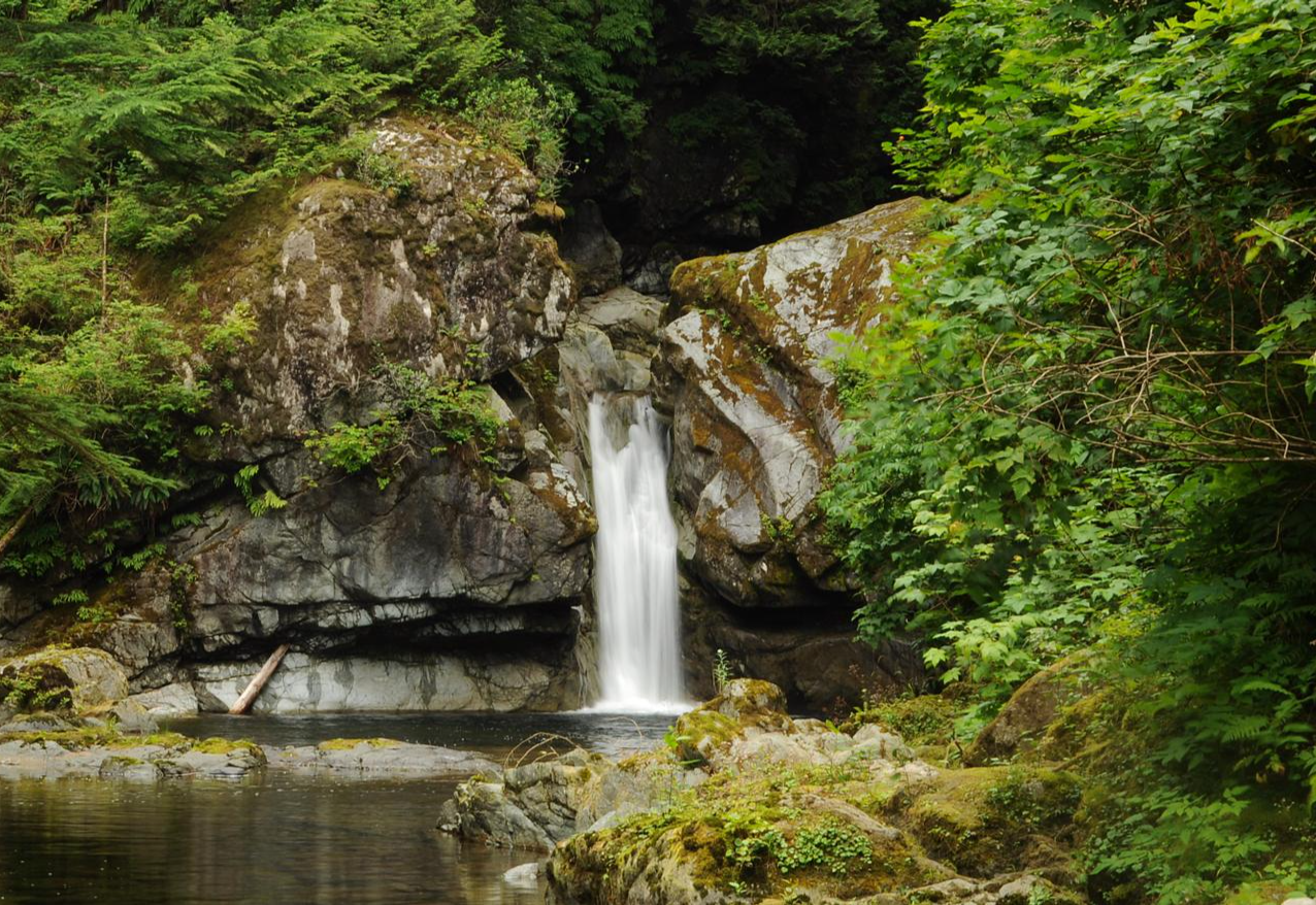
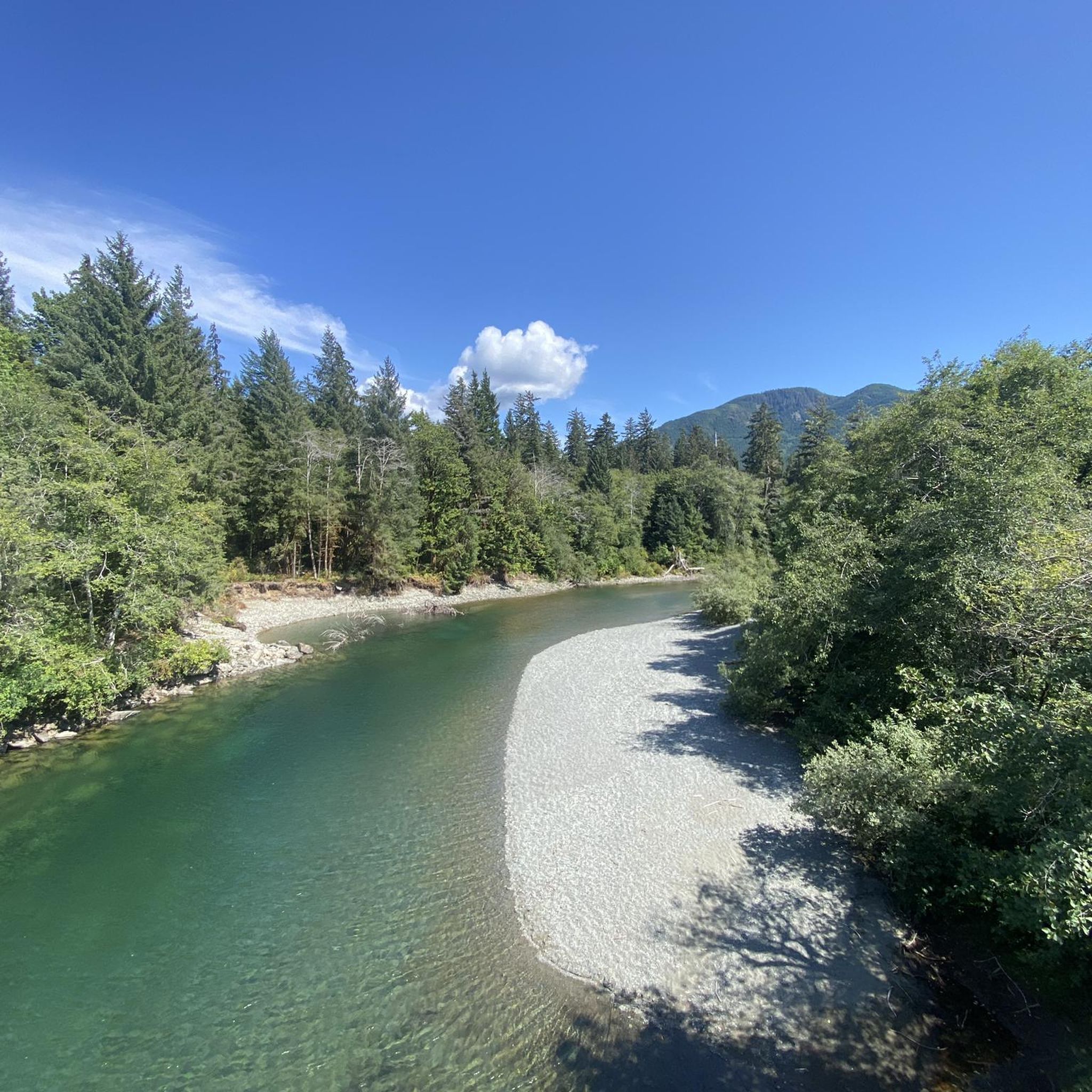
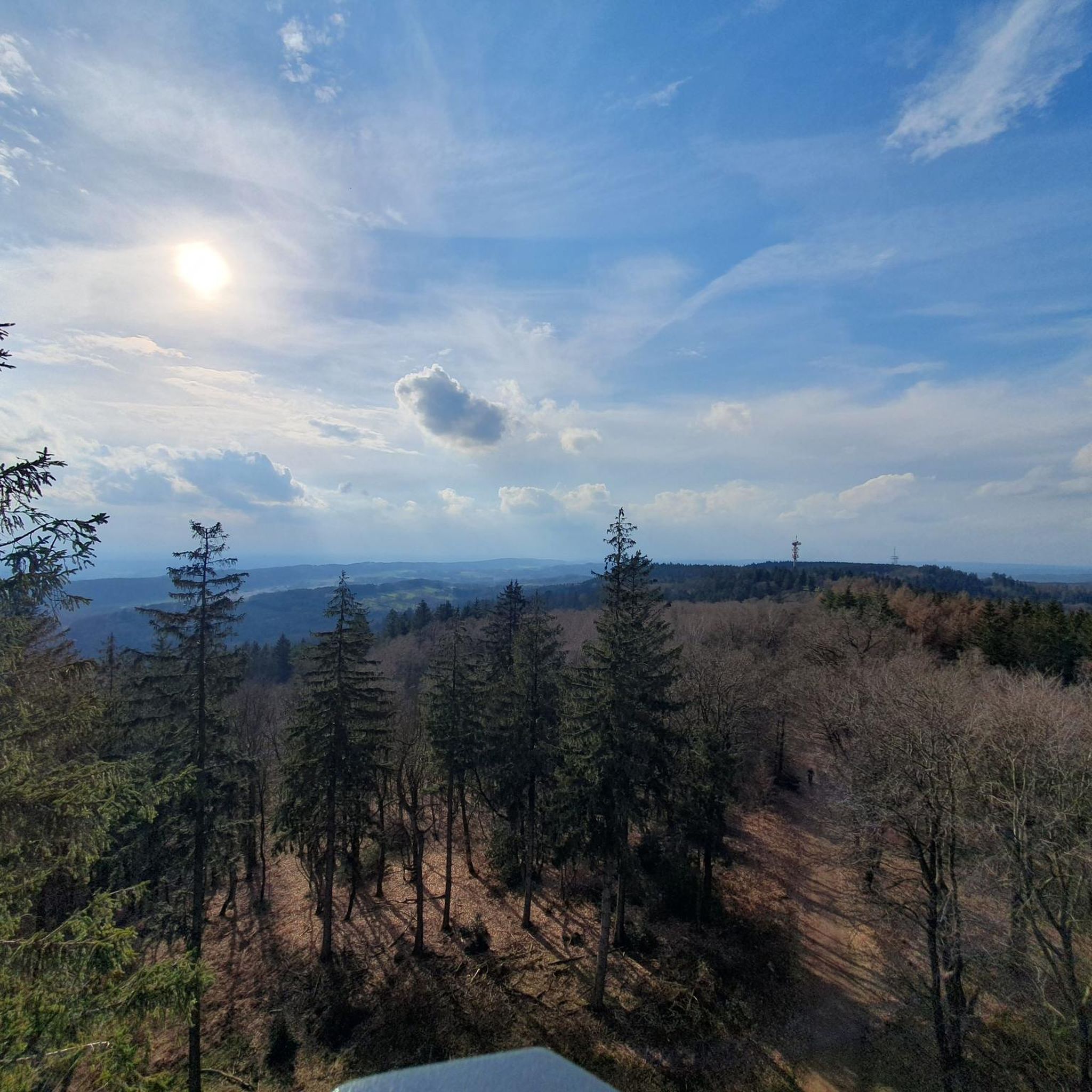
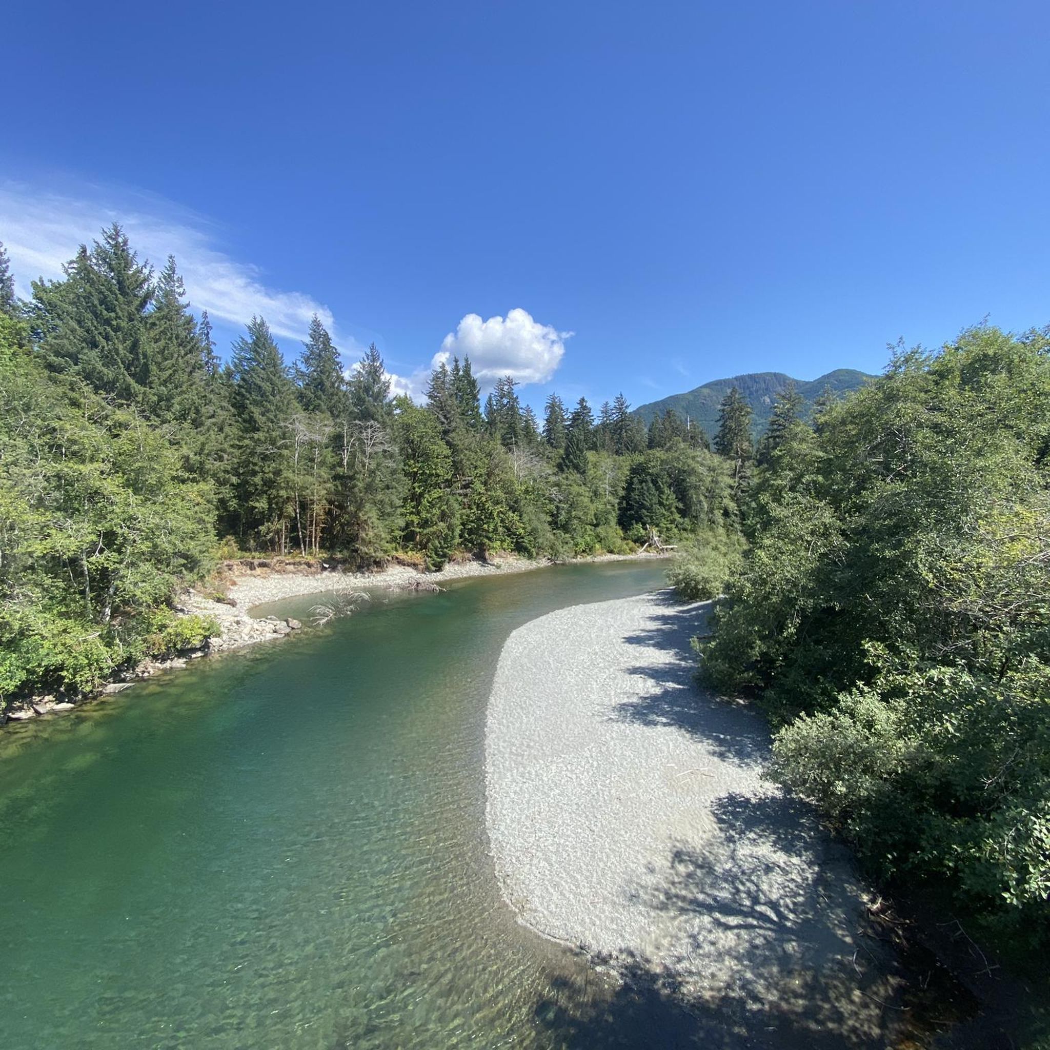
Other adventures around Cowichan Valley F

Tips from the Community

A short spur trail takes you to a clearing where the mossy bedrock rises out of the trees and gives you a view northward across Ladysmith. If the weather is clear, you can see the looming white-capped mountains in the direction of Whistler across the Strait of Georgia.
0
0
Stocking Lake was dammed in the 1960s to provide clean drinking water to Ladysmith and nearby towns. From here you can look along the length of the lake, and there are trails you can explore that circumnavigate the water's edge.
0
0
This is an old logging road and makes for a fairly easy walk through the woods toward Stocking Lake and Banon Creek Falls. It's a pleasant walk. You can drive up and intersect the trail closer to the falls if you wish to skip some of the hike along the logging road.
0
0

Take a few steps for a super view. On a clear day you can see Vancouver from here.
0
0

As you reach ridge, you will immediately see two massive, tower-like stone monuments. These are war memorials built to honor local soldiers who served in World Wars I. Built in 1929, the impressive cairn was constructed using heavy stones gathered directly from the mountain side, allowing it to blend perfectly with the rugged landscape.
0
0
On a clear day, you can see the winding Cowichan River, the city of Duncan, and the blue water of the Salish Sea reaching toward the Gulf Islands.
0
0

Heart Lake is a secluded lake nestled in a surrounding forest setting. There's a large rock outcrop along the banks that makes for a great spot to rest and take in the views.
0
0
The Heart Lake Trail climbs through forested terrain along Holland Creek to the banks of Heart Lake. There are plenty of spots to take in some incredible views of the lake along the trail, as well as a few spots to cool off with a dip.
0
0
Frequently Asked Questions
How many running routes are available in Cowichan Valley F?
There are 6 dedicated running routes available in Cowichan Valley F, catering to various fitness levels. These include easy, moderate, and difficult options, ensuring a suitable trail for every runner.
What kind of terrain can I expect on running routes in the Cowichan Valley?
The Cowichan Valley offers a diverse range of running terrain. You'll find wide, flat paths with crushed gravel, such as sections of the Cowichan Valley Trail, ideal for relaxed jogs. Other routes feature steeper hills, variable forest paths, and even some mostly paved surfaces, like those found in Bald Mountain Park. The region's natural beauty includes riverside trails, ancient forests, and routes with significant elevation changes.
Are there easy running trails for beginners in the Cowichan Valley?
Yes, the Cowichan Valley has options suitable for beginners and those seeking a less strenuous run. The Running loop from Hammond Rocks is an easy 1.7-mile path with gentle elevation changes. Additionally, sections of the Cowichan Valley Trail and the Cowichan River Footpath offer extensive, generally flat and easy experiences.
Where can I find challenging running routes in Cowichan Valley F?
For a more intense workout, consider routes with significant elevation gain. The Mount Prevost loop from Averill Creek Vineyard is a difficult 5.8-mile trail known for its challenging ascents. Other demanding options include the Stocking Lake loop from Davis at Battie (SB) and the Bald Mountain Park loop from Cowichan Valley. The Malahat Connector and trails on Maple Mountain and Mt. Tzouhalem also offer vigorous trail running experiences.
Are there any scenic running routes with viewpoints or natural features?
Absolutely. The Cowichan Valley is rich in natural beauty. The Kinsol Trestle, part of the Cowichan Valley Trail, offers spectacular views of the Koksilah River. The Malahat Connector provides vistas over Shawnigan Lake and the Salish Sea. You can also explore trails along the scenic Cowichan River or enjoy the forested areas around Heart Lake or Lake Cowichan.
Are there any loop running trails in the Cowichan Valley?
Yes, several routes offer the convenience of a loop. Popular options include the Mount Prevost loop from Averill Creek Vineyard, the Stocking Lake loop from Davis at Battie (SB), and the Running loop from Hammond Rocks. The Bald Mountain Park loop from Cowichan Valley is another great choice for a circular run.
Is the Cowichan Valley suitable for year-round running?
Yes, the Cowichan Valley is known for its 'Mediterranean-like climate,' featuring mild winters and summers. This makes it an ideal destination for year-round outdoor activities, including running. While conditions may vary, the mild climate generally allows for comfortable jogging throughout the seasons.
Are there any dog-friendly running trails in the Cowichan Valley?
Many trails in the Cowichan Valley are dog-friendly, but it's always best to check local regulations for specific routes or parks. Generally, multi-use trails like the Cowichan Valley Trail and many provincial park trails welcome dogs, often requiring them to be on a leash. Always ensure you clean up after your pet.
What do other runners enjoy most about jogging in Cowichan Valley F?
The Cowichan Valley F is appreciated by the komoot community for its diverse landscapes and varied terrain. More than 50 runners have explored the area using komoot, often praising the mix of riverside paths, forested trails, and challenging hill runs that cater to different ability levels.
Are there any running routes that pass by significant landmarks or points of interest?
Yes, several routes offer interesting sights. The Kinsol Trestle on the Cowichan Valley Trail is a historic railway trestle and a popular landmark. The Cowichan River Park trails run alongside the prominent Cowichan River, known for its natural beauty. You can also find routes that offer views of Lake Cowichan and the surrounding mountains.
Are there any long-distance running options in the Cowichan Valley?
While individual routes in this guide range up to 7.2 miles (11.6 km), the extensive Cowichan Valley Trail, which is part of the Trans Canada Trail, offers significant opportunities for longer runs. Its multi-use nature and length allow runners to combine sections for extended distances, providing a continuous and varied long-distance experience.
Most popular routes around Cowichan Valley F
Most popular attractions around Cowichan Valley F

Get inspired with the komoot mobile app


Explore more
Browse the best Running Trails & Routes in other regions.
