The best cycling routes around Area A (Kyuquot/Nootka/Sayward)
5.0
(6)
42
riders
9
rides
Touring cycling around Area A (Kyuquot/Nootka/Sayward) on Vancouver Island offers routes through diverse landscapes, including coastal areas, dense forests, and mountainous terrain. The region is characterized by a network of forest service roads, linking valleys, oceanside villages, and fjords. Cyclists can expect varied terrain, from protected waters to rugged coastlines, with elevation changes typical of coastal mountains. This area provides opportunities for adventurous cycling experiences across its natural features.
Best touring cycling routes around Area A (Kyuquot/Nootka/Sayward)
- The most popular…
Last updated: July 12, 2026
5.0
(1)
10
riders
18.3km
01:15
230m
240m
Moderate bike ride. Good fitness required. Mostly paved surfaces. Suitable for all skill levels.
5.0
(1)
9
riders
19.3km
01:12
140m
140m
Easy bike ride. Great for any fitness level. Mostly paved surfaces. Suitable for all skill levels.

Sign up for free
6
riders
10.3km
01:06
230m
230m
Moderate bike ride. Good fitness required. Mostly paved surfaces. Suitable for all skill levels.
5.0
(4)
6
riders
Moderate bike ride. Good fitness required. Mostly paved surfaces. Suitable for all skill levels.
5
riders
55.0km
03:24
390m
390m
Moderate bike ride. Good fitness required. Mostly paved surfaces. Suitable for all skill levels.
Get access to more routes and recommendations from other explorers.
Sign up for free
Already have an account?
Our route recommendations are based on thousands of hikes, rides, and runs completed by other people on komoot.
Start today with a free account
Your next adventure awaits.
Login or Signup
Popular around Area A (Kyuquot/Nootka/Sayward)
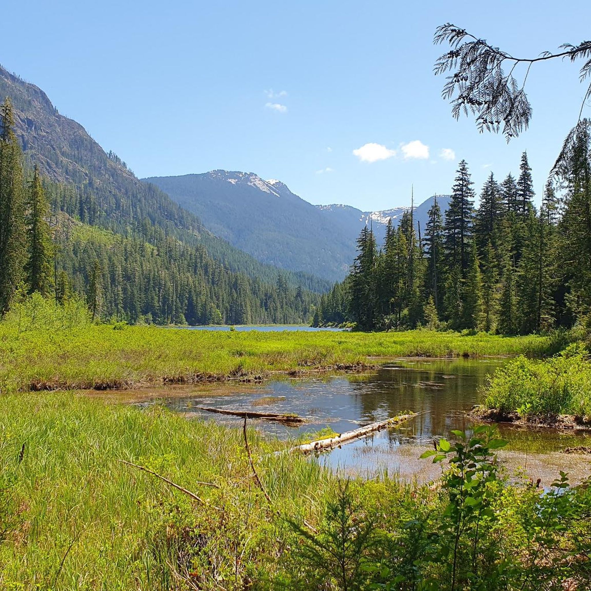
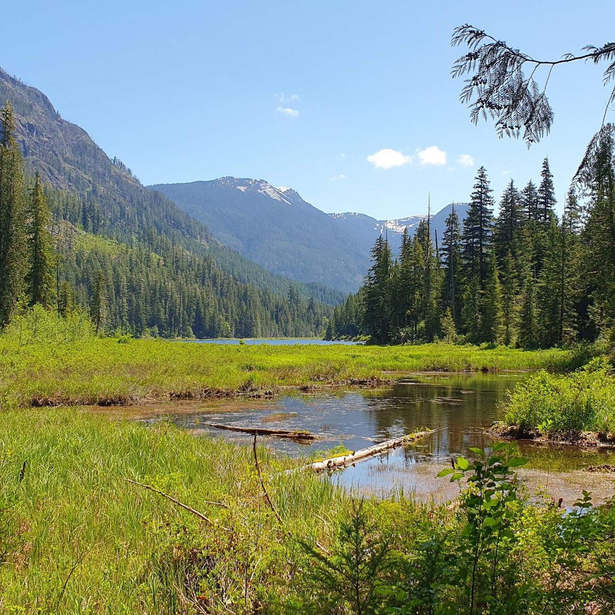
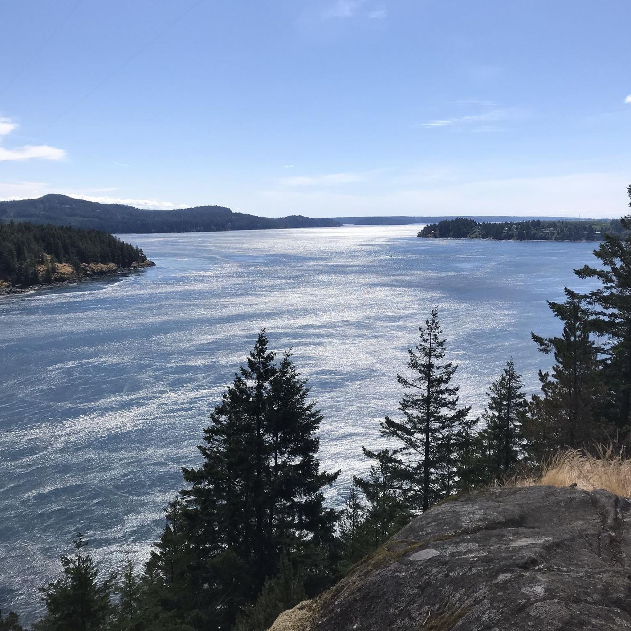
Tips from the Community

The Beaver Lodge Forest Lands are located on the edge of Campbell River in BC. Visitor can enjoy the many trails that crisscross the forest allowing access to hiking and mountain biking. The area was heavily logged in the past but it is now overseen by a land trust and has become a haven for a wide range of flora and fauna.
0
0

Frank James Park is a scenic waterfront park situated along the banks of the Campbell River. The park is famous for hosting its annual chainsaw driftwood carving competition. Visitors can enjoy walking through the grounds and viewing numerous striking sculptures from past events that are scattered throughout the park. For visitor convenience, the park provides amenities including washrooms, picnic tables, and benches.
0
0
The Rotary Seawalk is a 6-kilometre (3.7-mi) path that runs along the shores of the Discovery Passage. Trail users can catch views of cruise liners, cargo ships, sailboats, and fishing vessels as they stroll or ride along the path. Picnic tables, benches, grassy lawns, and sandy beaches are available all along the route.
0
0
Ken Forde Boat Ramp Park is a small waterfront park that offers great views of the bay, a boat ramp, and a picnic area. The beach is a great place to check out tide pools during low tide.
0
0

Anywhere from upper CR it is a downhill ride smooth etc. Great ride
0
0

Frequently Asked Questions
How many touring cycling routes are available in Area A (Kyuquot/Nootka/Sayward)?
There are currently 9 touring cycling routes available in Area A (Kyuquot/Nootka/Sayward) on komoot, offering diverse experiences from easy coastal rides to more challenging routes through forested areas.
What kind of terrain can I expect when touring cycling in Area A (Kyuquot/Nootka/Sayward)?
The region offers varied terrain, from protected coastal paths and urban sections to dense forests and river valleys. Cyclists should be prepared for a mix of surfaces, including gravel and forest service roads, especially if exploring the more adventurous routes like parts of the 'Tree to Sea Loop' which traverses the northern end of Vancouver Island.
Are there any easy touring cycling routes suitable for beginners in Area A (Kyuquot/Nootka/Sayward)?
Yes, there is one easy touring cycling route available. The Rotary Seawalk – Graffiti Rock loop from Campbell River is an easy 12.0-mile (19.3 km) path that offers coastal views and urban sections, making it a great option for those seeking a less strenuous ride.
What are some notable natural features or landmarks I can see along the touring cycling routes?
Area A is rich in natural beauty. You can find stunning waterfalls like Elk Falls, Deer Falls, and Moose Falls. The region also features impressive natural monuments such as the Canyon View Bridge. Beyond specific routes, the area boasts ancient old-growth forests, rugged coastlines, and diverse marine life.
Are there any circular touring cycling routes in the area?
Yes, many routes in Area A are designed as loops. For example, the Forest Singletrack Trail loop from Grouse Island is a moderate 11.4-mile (18.3 km) circular route through forested areas. Another option is the Little Morte Lake loop from Quadra Island, which is 6.4 miles (10.3 km) and explores varied island landscapes.
What do other touring cyclists enjoy most about cycling in Area A (Kyuquot/Nootka/Sayward)?
The area is highly rated by the komoot community, with an average score of 5.0 stars from over 4 reviews. Cyclists often praise the diverse landscapes, from coastal paths to dense forests, and the opportunities for adventurous cycling experiences across its natural features.
Are there any longer touring cycling routes for more experienced riders?
For those seeking a longer ride, the Graffiti Rock – Picnic Area With Ocean View loop from Campbell River is a moderate 34.1-mile (54.9 km) route. While not exclusively paved, the broader region offers challenging bikepacking experiences on forest service roads, such as sections of the 1,000-kilometer 'Tree to Sea Loop'.
What are the best seasons for touring cycling in Area A (Kyuquot/Nootka/Sayward)?
While specific seasonal data for cycling isn't provided, the region's diverse landscapes, including coastal areas and dense forests, suggest that spring, summer, and early autumn would offer the most favorable weather conditions. Cyclists should be mindful of potential rain and varying temperatures typical of Vancouver Island's west coast.
Can I find routes that connect to ferry terminals for island hopping?
Yes, some routes are conveniently located near ferry access points. For instance, the Quathiaski Cove Ferry Terminal – Forest Singletrack Trail loop from Quathiaski Cove starts directly from a ferry terminal, making it ideal for those arriving by ferry to Quadra Island.
What kind of wildlife might I encounter while cycling in this region?
Area A is rich in biodiversity. In Kyuquot Sound, you might spot sea otters, eagles, and potentially whales. Nootka Sound is home to the world's largest sea otter population, cougars, black bears, and sightings of grey whales, humpback whales, and orcas. Near Sayward, the Salmon River Wildlife Reserve offers opportunities to spot bears and various bird species.
Are there any routes that offer significant elevation changes for a more challenging ride?
Many routes in Area A feature elevation changes typical of coastal mountains. For example, the Quathiaski Cove Ferry Terminal – Forest Singletrack Trail loop from Quathiaski Cove includes over 260 meters of ascent, providing a good workout. The region's network of forest service roads also contributes to routes with varying gradients.
Most popular routes around Area A (Kyuquot/Nootka/Sayward)
Most popular attractions around Area A (Kyuquot/Nootka/Sayward)

Get inspired with the komoot mobile app


Explore more
Browse the best Cycling routes in other regions.
