The best gravel rides around Aranga
5.0
(1)
11
riders
3
rides
Gravel biking around Aranga, located in Galicia, Spain, offers diverse terrain for exploration. The landscape features river valleys, sections of the Camino del Norte, and small paved roads winding through rural areas. Riders can encounter elevations up to approximately 650m, including ridges dotted with wind turbines, and explore natural features such as the Fragas do Eume natural park. The region provides a blend of cultural routes and natural beauty suitable for active outdoor adventures.
Best gravel bike trails around Aranga
…Last updated: July 7, 2026
5
riders
113km
07:40
1,620m
1,620m
Hard gravel ride. Very good fitness required. Mostly paved surfaces. Suitable for all skill levels.
5.0
(1)
2
riders
34.6km
02:39
660m
660m
Hard gravel ride. Very good fitness required. Mostly paved surfaces. Suitable for all skill levels.

Sign up for free
4
riders
84.7km
05:34
1,120m
1,120m
Hard gravel ride. Very good fitness required. You may need to push your bike for some segments of this route.
Our route recommendations are based on thousands of hikes, rides, and runs completed by other people on komoot.
Start today with a free account
Your next adventure awaits.
Login or Signup
Tips from the Community

The Terras do Miño Biosphere Reserve covers a large part of the province of Lugo, including Vilalba, and is characterized by: Rivers and streams with ancient stone bridges, some built with slate, typical of the region. River trails and routes that cross traditional structures such as footbridges, mills, and medieval bridges. The Madalena River, which flows through Vilalba, has several points of natural and ethnographic interest.
3
0
The Santo Alberte Bridge, also known as Ponte de San Alberte, is a medieval gem located in the municipality of Guitiriz (Lugo), over the Parga River, in the heart of the Terras do Miño Biosphere Reserve. Although believed to have Roman origins, the current structure is Gothic in style, built in the 14th century and renovated in the 18th century and again in 2006.
3
0

The slate slabs appear to be installed vertically into the bridge, so that the narrow sides of the slabs form a very fine pavement.
1
0

Take a break, pause and maybe give your legs a refreshment 🤙
1
1

Recommending stopping in front of a cemetery seems strange, but this one is worth a stop. Yes, short. Rest will come!!
0
0

Place with Magic, don't forget to stop.
0
0

Quiet place to take a break during the routes in the area.
0
0
Frequently Asked Questions
What kind of terrain can I expect on gravel bike trails in Aranga?
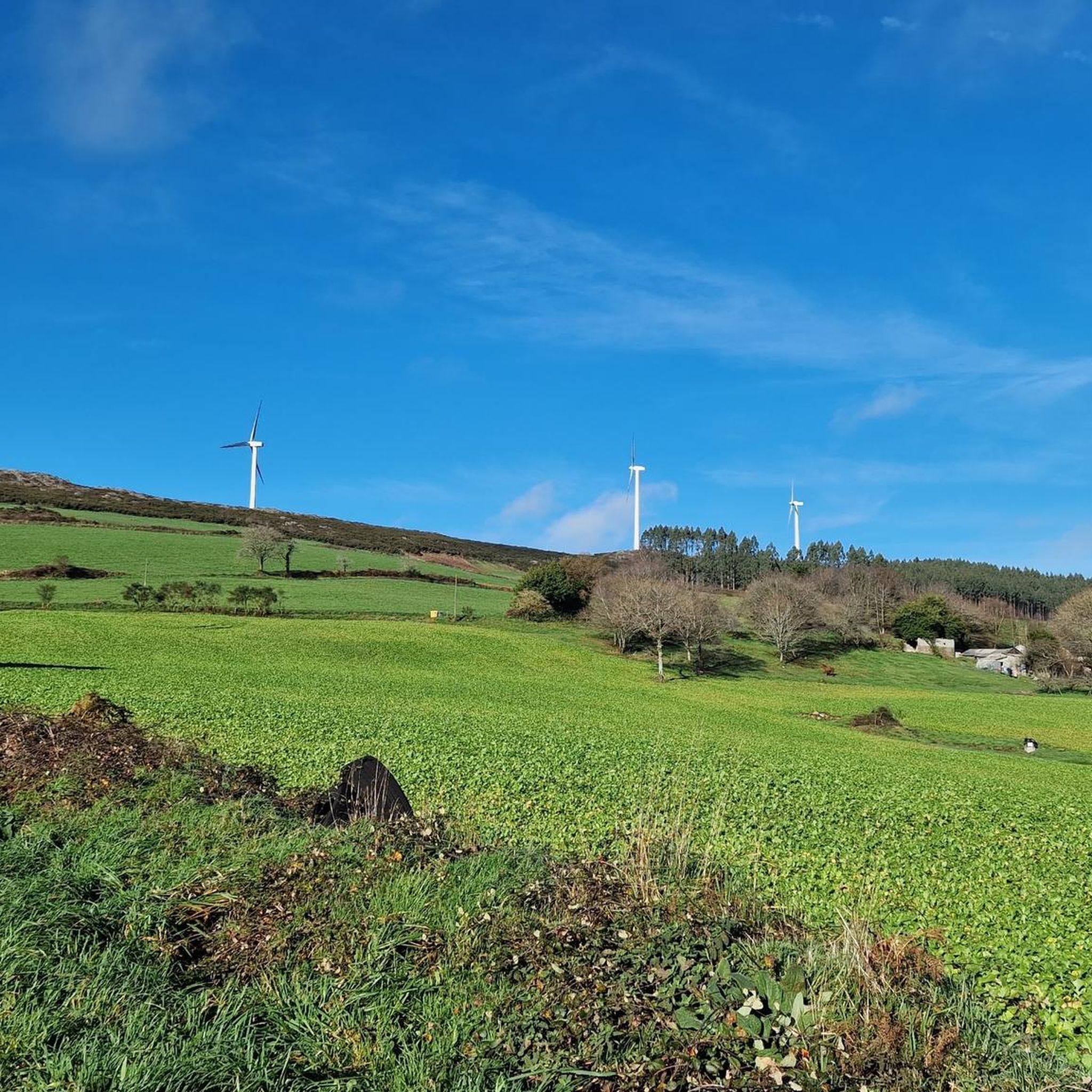
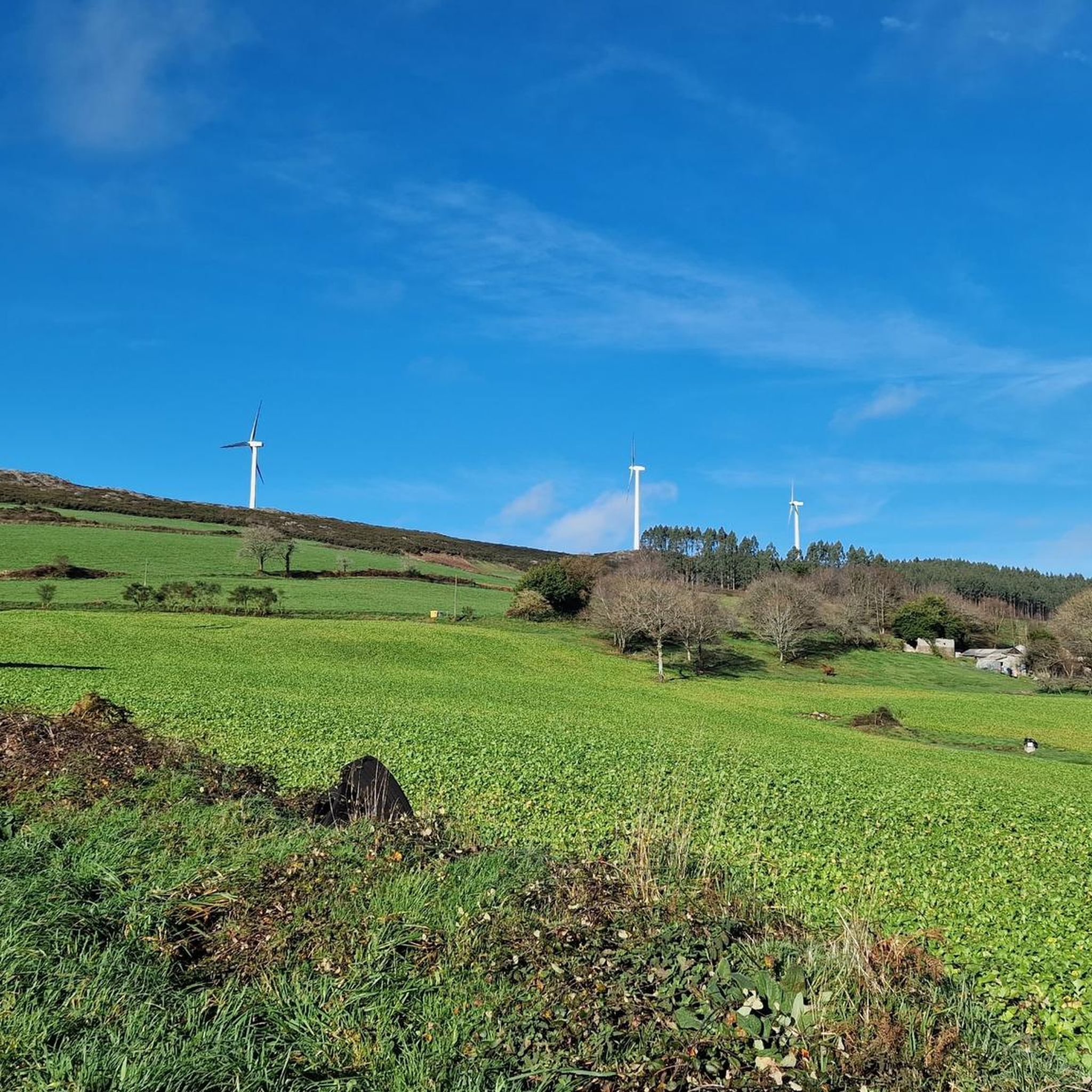
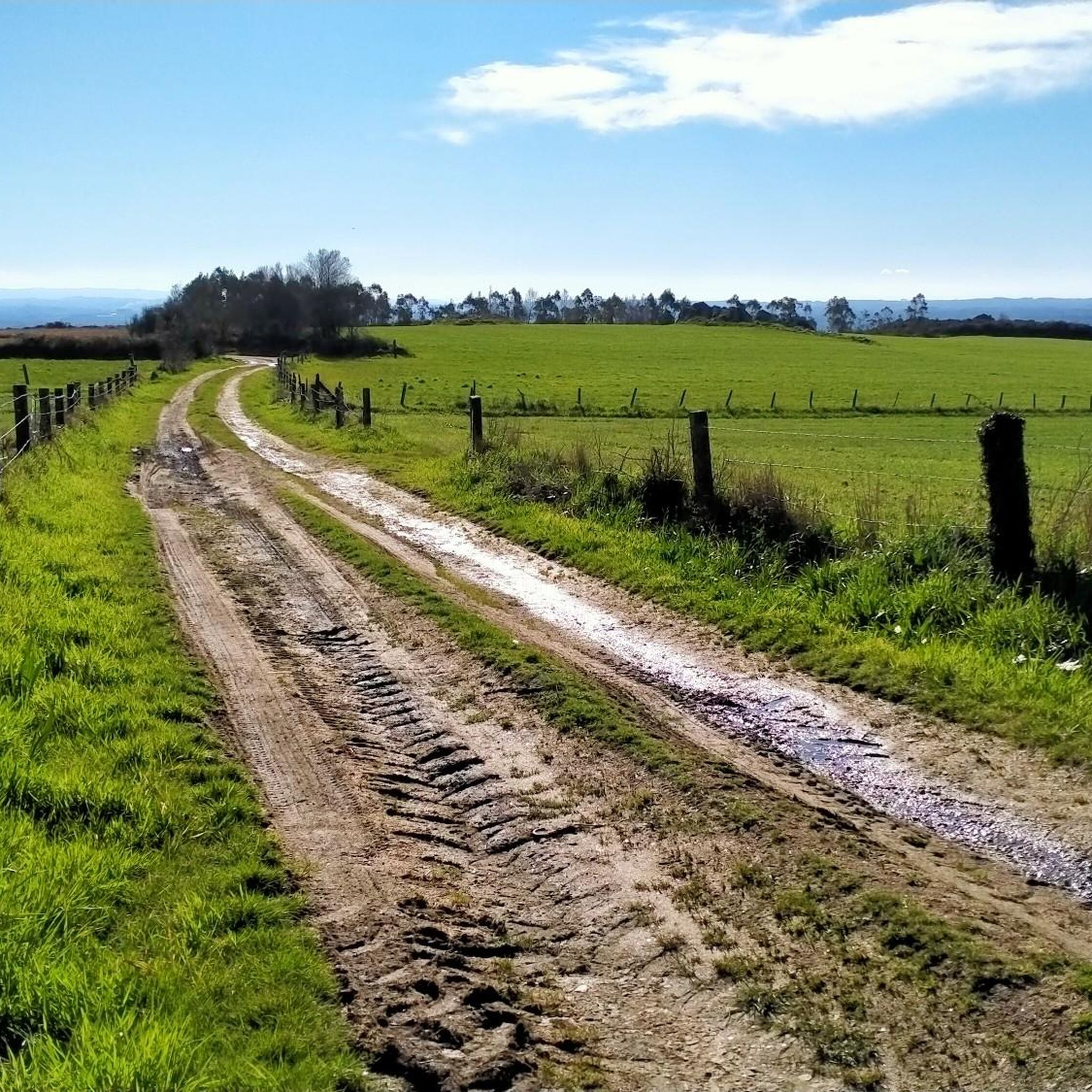
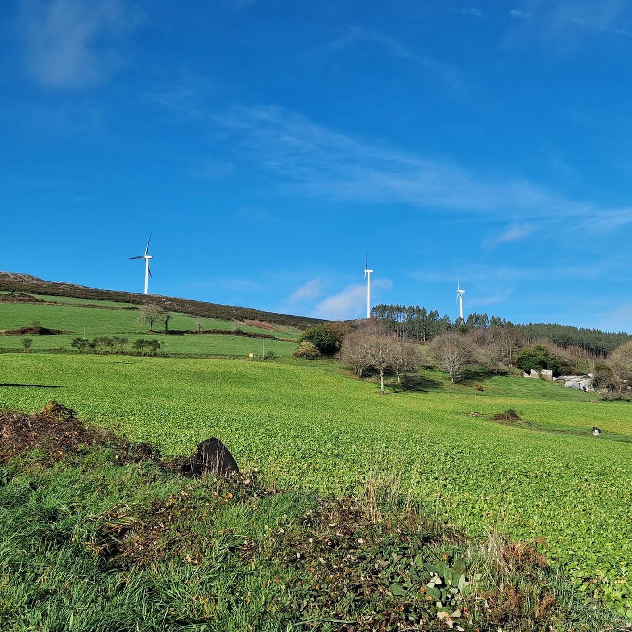
Gravel biking in Aranga offers a diverse landscape, featuring river valleys, sections of the historic Camino del Norte, and small paved roads winding through rural areas. You'll encounter varied terrain, including climbs to elevations of approximately 650m, such as ridges dotted with wind turbines.
Are there any challenging gravel bike routes in Aranga?
Yes, the gravel bike routes in Aranga are generally considered challenging. All three routes listed in this guide are rated as difficult, offering significant elevation changes and requiring a good level of fitness. For example, the Sobrado Lagoon – Sobrado dos Monxes Monastery loop from Guitiriz covers 112.2 km with over 1600 meters of elevation gain.
Can I find any circular gravel bike routes in the Aranga region?
Yes, all the gravel bike routes highlighted in this guide are circular loops. This allows you to start and finish at the same point, making logistics easier. Examples include the Gravel loop from Irixoa and the Sobrado Lagoon – Sobrado dos Monxes Monastery loop from Teixeiro.
What natural attractions can I see along the gravel bike trails in Aranga?
The Aranga region is rich in natural beauty. You can explore areas like the Fragas do Eume natural park, which is about 24 km from Aranga. There are also several waterfalls in the vicinity, such as the Zarzo Waterfall (about 5.2 km away) and Fervenzas Da Rexidoira (approximately 14 km away). The Ponte de Lambre area is also noted for its scenic beauty.
Are there any historical or cultural landmarks accessible by gravel bike in Aranga?
Yes, Aranga's gravel routes often intersect with or run parallel to sections of the historic Camino de Santiago, specifically the Camino del Norte. You can ride along a picturesque section of the Camino de Santiago from Miño to Betanzos. Other notable landmarks include the Camino del Norte Trail in the Terras do Miño Biosphere Reserve and Monfero Abbey, a historical site in the vicinity.
What do other gravel bikers say about the trails in Aranga?
The gravel biking routes in Aranga are highly regarded by the komoot community, holding an average rating of 5.0 stars from over 1 review. More than 10 gravel bikers have already used komoot to explore the region's varied terrain, often praising the blend of cultural routes and natural beauty.
Are there any specific sections of the Camino de Santiago that are good for gravel biking in Aranga?
Yes, a recommended route for gravel biking follows a section of the Camino de Santiago (English road) from Miño to Betanzos, offering a picturesque ride alongside a river. Another option allows cyclists to diverge from the main Camino del Norte path after crossing the railway and river to Baamondo, leading through charming landscapes on small paved roads. You can also find the Alternative Camino del Norte as a highlight.
Are there any good spots for a picnic or scenic views along the gravel routes?
Yes, the region offers several scenic spots. The highest point of the Camino del Norte, reaching an elevation of approximately 650m to a ridge dotted with wind turbines, can be an excellent picnic spot in favorable weather. The Ponte de Lambre area is also known for its beauty.
What is the best time of year for gravel biking in Aranga?
While specific seasonal data isn't available, Aranga's diverse landscapes are generally enjoyable for outdoor activities. Given the potential for higher elevations and varied terrain, spring and autumn typically offer pleasant temperatures for gravel biking. It's always advisable to check local weather conditions before heading out, especially if planning to visit during winter or summer months.
Are there any recreational areas near the gravel bike trails in Aranga?
Yes, the Area Recreativa Agra de Reboredo is a recreational area located about 11.6 km from Aranga, which could be a good spot to relax before or after a ride.
What kind of elevation gain should I expect on Aranga's gravel trails?
The gravel trails in Aranga feature significant elevation changes. For instance, the Sobrado Lagoon – Sobrado dos Monxes Monastery loop from Guitiriz has an elevation gain of over 1600 meters, while the Gravel loop from Irixoa includes over 650 meters of climbing.
Most popular attractions around Aranga

Get inspired with the komoot mobile app


Explore more
Browse the best Gravel rides in other regions.
