The best gravel rides around Oza Dos Ríos
4.7
(12)
146
riders
9
rides
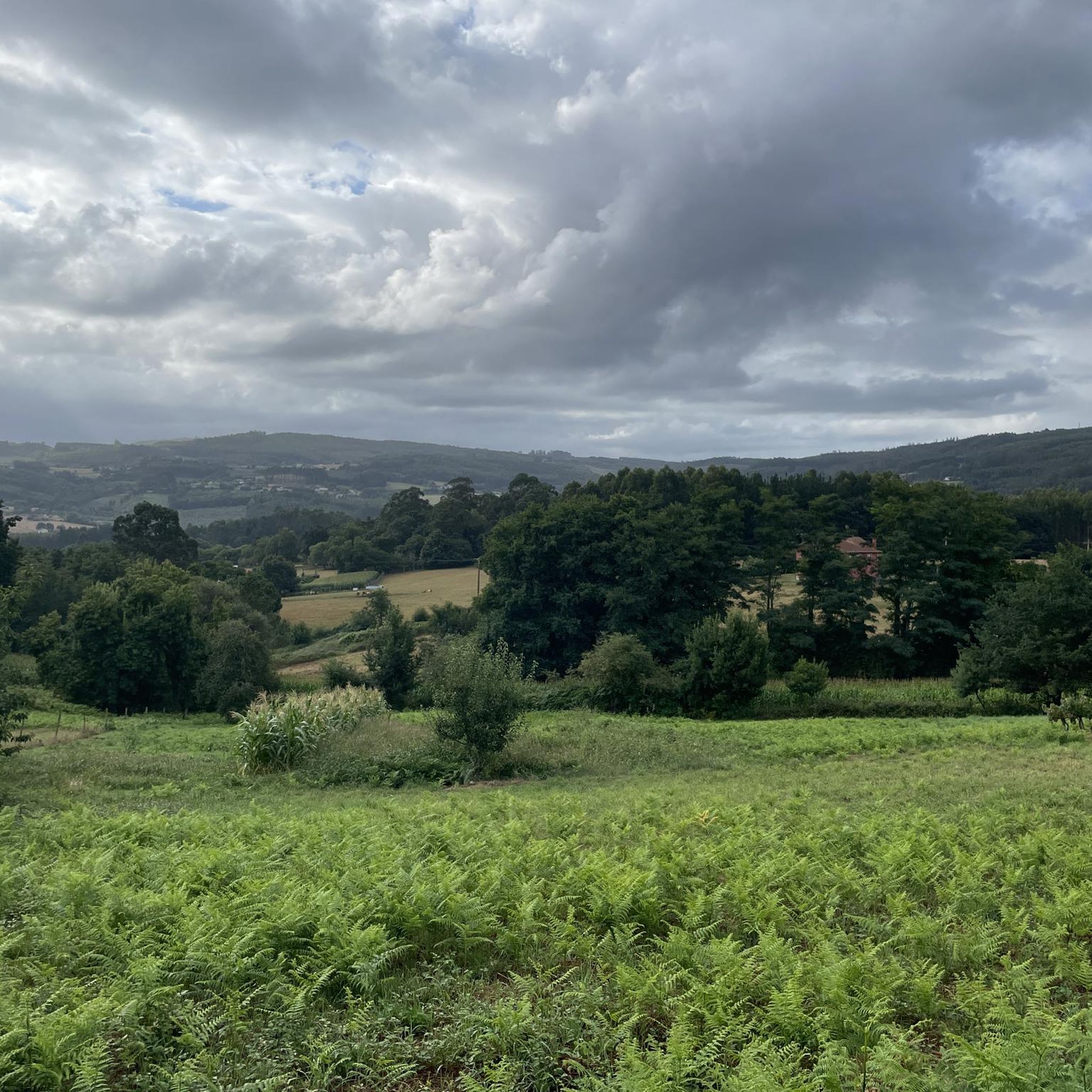
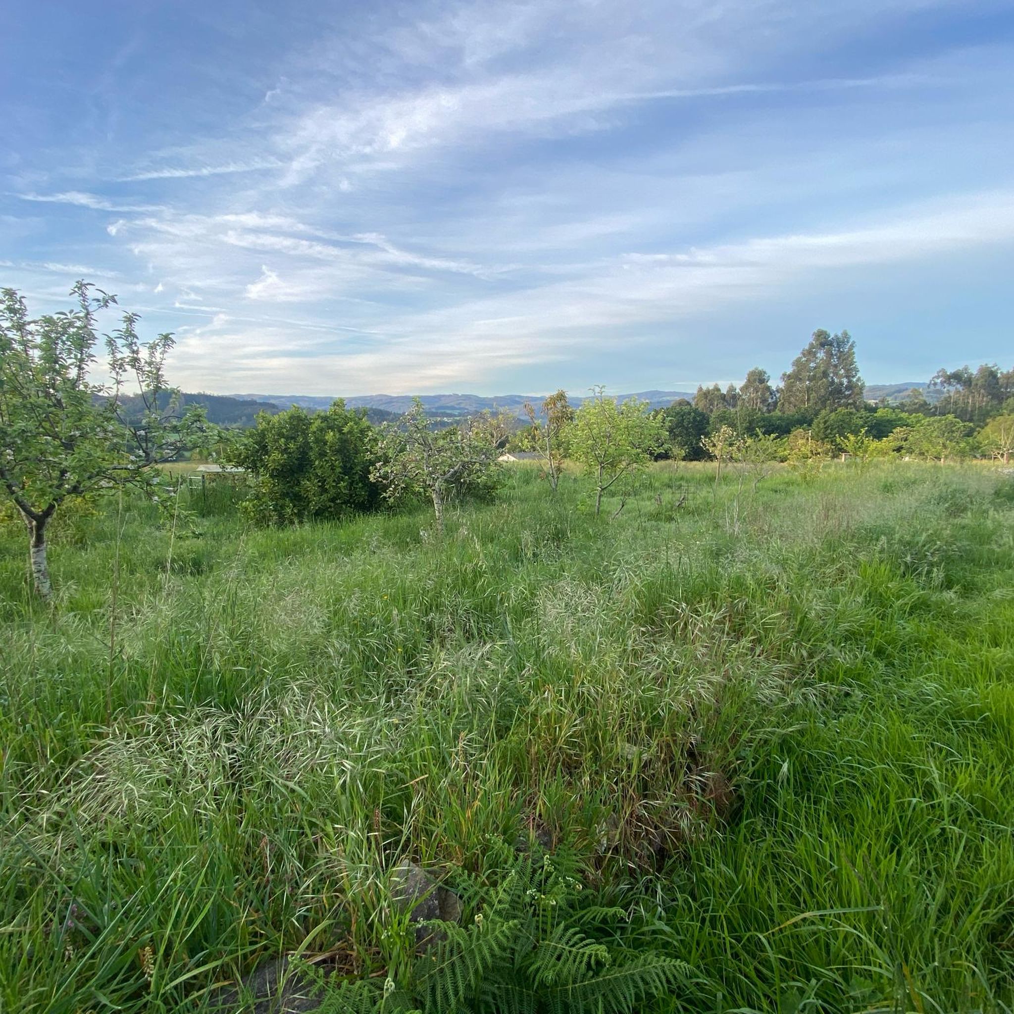
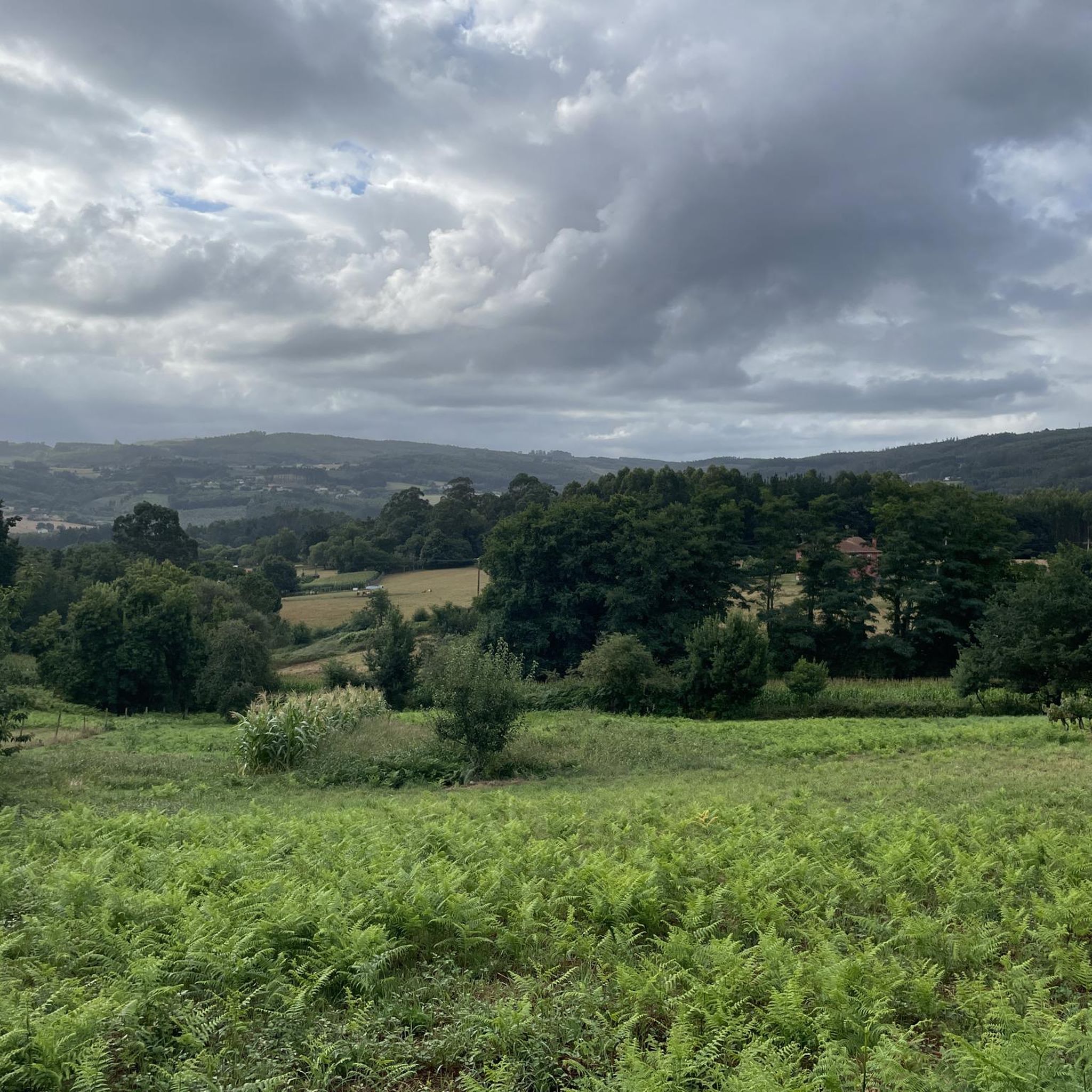
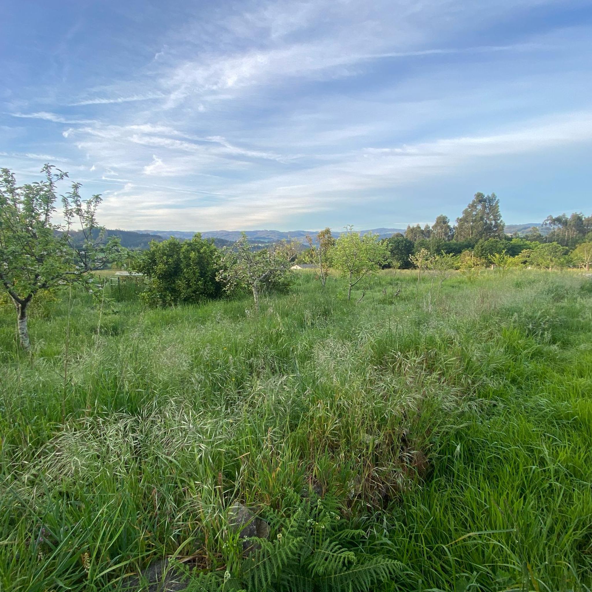
Gravel biking around Oza Dos Ríos offers a diverse landscape characterized by rugged relief and deep valleys carved by the Mendo and Mandeo rivers. The region features abundant forests and varied elevations, including hills like Pena Moura (554 m) and Brueiro (527 m). Cyclists can explore natural trails along riverbanks and through protected areas, such as the Mero River, which flows into the Cecebre reservoir.
Best gravel bike trails around Oza Dos Ríos
- The most popular gravel bike trail is…
Last updated: July 7, 2026
4.5
(6)
76
riders
49.9km
02:50
470m
470m
Hard gravel ride. Very good fitness required. Mostly paved surfaces. Suitable for all skill levels.
11
riders
Hard gravel ride. Very good fitness required. Mostly paved surfaces. Suitable for all skill levels.

Sign up for free
4.8
(6)
38
riders
37.0km
02:07
270m
270m
Moderate gravel ride. Good fitness required. Mostly paved surfaces. Suitable for all skill levels.
5
riders
138km
09:41
2,090m
2,090m
Hard gravel ride. Very good fitness required. Mostly paved surfaces. Suitable for all skill levels.
4
riders
84.7km
05:34
1,120m
1,120m
Hard gravel ride. Very good fitness required. You may need to push your bike for some segments of this route.
Get access to more routes and recommendations from other explorers.
Sign up for free
Already have an account?
Our route recommendations are based on thousands of hikes, rides, and runs completed by other people on komoot.
Start today with a free account
Your next adventure awaits.
Login or Signup
Tips from the Community

One of the sections of this route to Santiago
0
0


The Santo Alberte Bridge, also known as Ponte de San Alberte, is a medieval gem located in the municipality of Guitiriz (Lugo), over the Parga River, in the heart of the Terras do Miño Biosphere Reserve. Although believed to have Roman origins, the current structure is Gothic in style, built in the 14th century and renovated in the 18th century and again in 2006.
3
0

What would a pilgrimage to Santiago be without this document?
4
1

My friends, the Burgo Bridge is not a Roman bridge, its origin is medieval and dates back to the twelfth century, please let's be serious with the information.
1
0

Very quiet place and good for riding slowly or pushing it if you want.
0
0

The Pilgrims' Welcome Office is an important place for pilgrims who complete the Camino de Santiago. It is where they obtain the Compostela, a certificate that proves that they have completed the Camino de Santiago.
3
0

Take a break, pause and maybe give your legs a refreshment 🤙
1
1
Frequently Asked Questions
How many gravel bike trails are available in Oza Dos Ríos?
There are 8 gravel bike trails available around Oza Dos Ríos, offering a variety of experiences for cyclists.
What kind of terrain can I expect on gravel bike trails in Oza Dos Ríos?
The region features a diverse and often rugged landscape, with trails traversing deep river valleys carved by the Mendo and Mandeo rivers. You'll encounter dense forests, varying elevations including hills like Pena Moura, and a mix of compact dirt paths and small paved roads. The Mero River Trail, for instance, is known for its simple, flat, compact dirt surface.
What are the typical difficulty levels for gravel biking in Oza Dos Ríos?
The gravel trails in Oza Dos Ríos cater to a range of abilities. Out of the 8 available routes, 2 are considered moderate, and 6 are classified as difficult, offering challenges for experienced riders. For example, the Mero River Trail – Cecebre Reservoir loop from Betanzos-Cidade is a difficult route following the Mero River.
Are there any notable natural features or landmarks to see along the gravel routes?
Yes, Oza Dos Ríos is rich in natural beauty and historical landmarks. You can explore the protected natural space around the Cecebre Reservoir, which is part of the Natura 2000 Network. Other highlights include the Mero River Trail, the scenic Pedrido Bridge offering panoramic views of the Betanzos estuary, and the historic Ponte Vella in Betanzos.
What do other gravel bikers say about the trails in Oza Dos Ríos?
The gravel biking experience in Oza Dos Ríos is highly rated by the komoot community, with an average score of 4.75 stars from over 8 reviews. More than 130 gravel bikers have explored the varied terrain, often praising the scenic river valleys, dense forests, and the mix of challenging and moderate paths.
Are there any long-distance gravel routes for experienced riders?
Yes, for experienced riders seeking longer distances, routes like the Sarela River – Galeras Park – Ponte do Sar loop from Betanzos-Cidade offer a substantial challenge, covering over 137 kilometers with significant elevation gain. Another option is the Sobrado Lagoon – Sobrado dos Monxes Monastery loop from Teixeiro, which is over 84 kilometers long.
Are there any circular gravel routes in the area?
Yes, many of the gravel routes in Oza Dos Ríos are designed as loops. For example, the Cecebre Reservoir – View of Embalse de Cecebre loop from ENIL Ribeiras do Mero - Barcés is a moderate 25-kilometer circular trail that takes you through the protected natural space around the Mero and Barcés rivers.
What are the trail conditions like after rainfall?
Given the region's natural features, trails, especially those along riverbanks like the Mero River Trail, might have mud and puddles after rainfall. It's advisable to check local weather conditions and prepare accordingly with appropriate gear.
Are there any waterfalls accessible by gravel bike?
Yes, the Fervenzas da Rexidoira waterfalls are located in Filgueira de Barranca and are part of the Mandeo Project within the Mariñas Coruñesas e Terras do Mandeo Biosphere Reserve, offering a picturesque natural stop that can be incorporated into a gravel biking adventure.
Can I find routes that offer panoramic views?
Absolutely. The region's rugged relief and river valleys provide several opportunities for scenic vistas. The Ponte do Pedrido, for instance, rises 520 meters over the Betanzos estuary, offering expansive panoramic views. Additionally, the View of Embalse de Cecebre – Cecebre Reservoir loop from Betanzos-A Infesta is specifically highlighted for its views of the Cecebre Reservoir.
Most popular routes around Oza Dos Ríos
Most popular attractions around Oza Dos Ríos

Get inspired with the komoot mobile app


Explore more
Browse the best Gravel rides in other regions.
