The best gravel rides around El Gastor
4.8
(4)
89
riders
4
rides
Gravel biking around El Gastor offers routes through the Sierra de Grazalema Natural Park, characterized by its limestone mountains, deep valleys, and white villages. The terrain often features unpaved roads and tracks that traverse olive groves and agricultural lands. Elevation changes are common, providing challenging climbs and descents across the landscape. The region's geology contributes to varied surfaces suitable for gravel bikes.
Best gravel bike trails around El Gastor
- The most popular gravel bike trail is Vía Verde de la…
Last updated: July 7, 2026
4.8
(5)
75
riders
59.0km
03:46
930m
930m
Hard gravel ride. Very good fitness required. Mostly paved surfaces. Suitable for all skill levels.
9
riders
55.6km
04:24
1,460m
1,460m
Hard gravel ride. Very good fitness required. Mostly paved surfaces. Suitable for all skill levels.

Sign up for free
6
riders
76.3km
05:40
1,800m
1,800m
Hard gravel ride. Very good fitness required. Mostly paved surfaces. Suitable for all skill levels.
3
riders
45.5km
03:18
1,040m
1,040m
Hard gravel ride. Very good fitness required. Mostly paved surfaces. Suitable for all skill levels.
2
riders
77.4km
05:40
1,540m
1,540m
Hard gravel ride. Very good fitness required. Mostly paved surfaces. Suitable for all skill levels.
Our route recommendations are based on thousands of hikes, rides, and runs completed by other people on komoot.
Start today with a free account
Your next adventure awaits.
Login or Signup
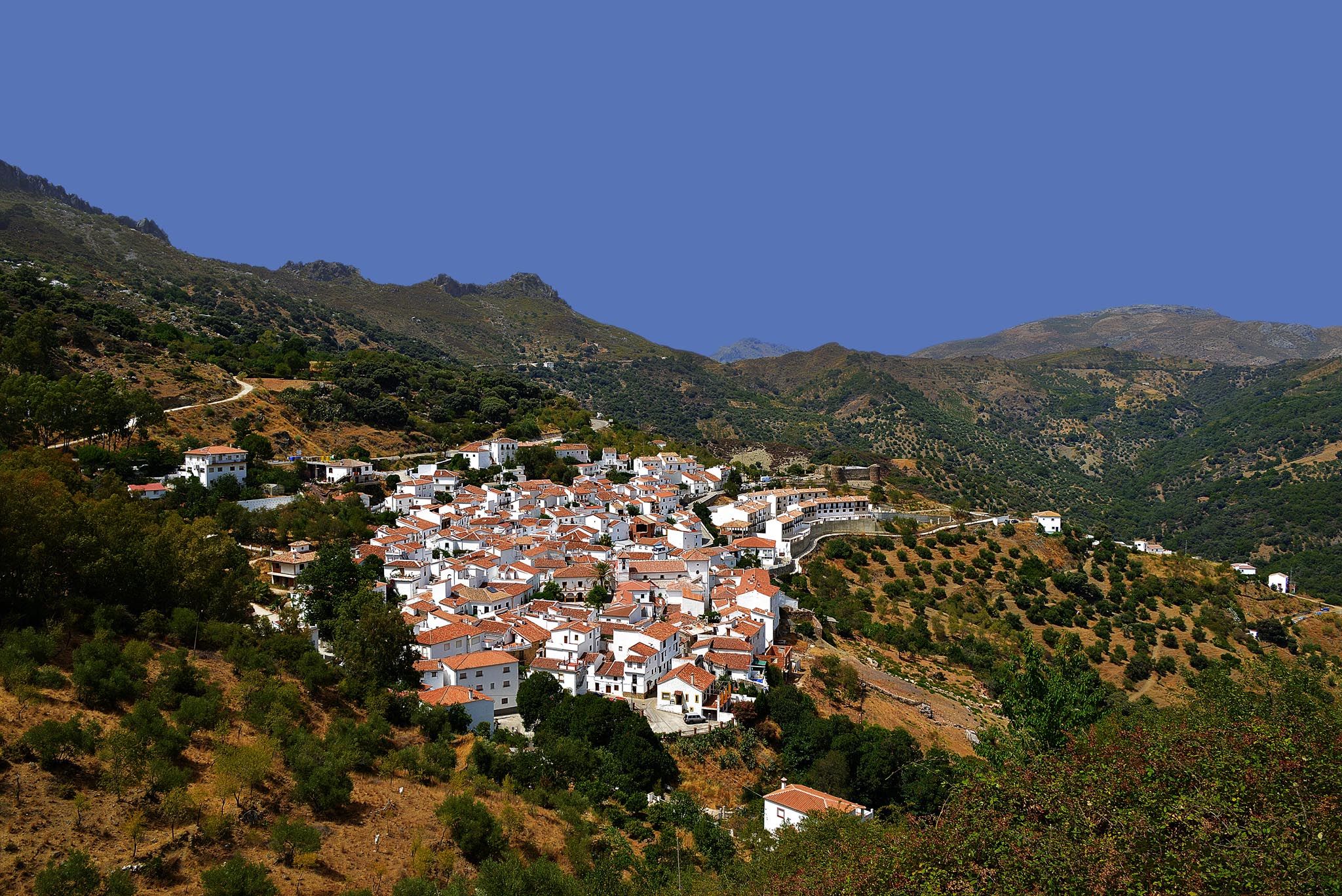
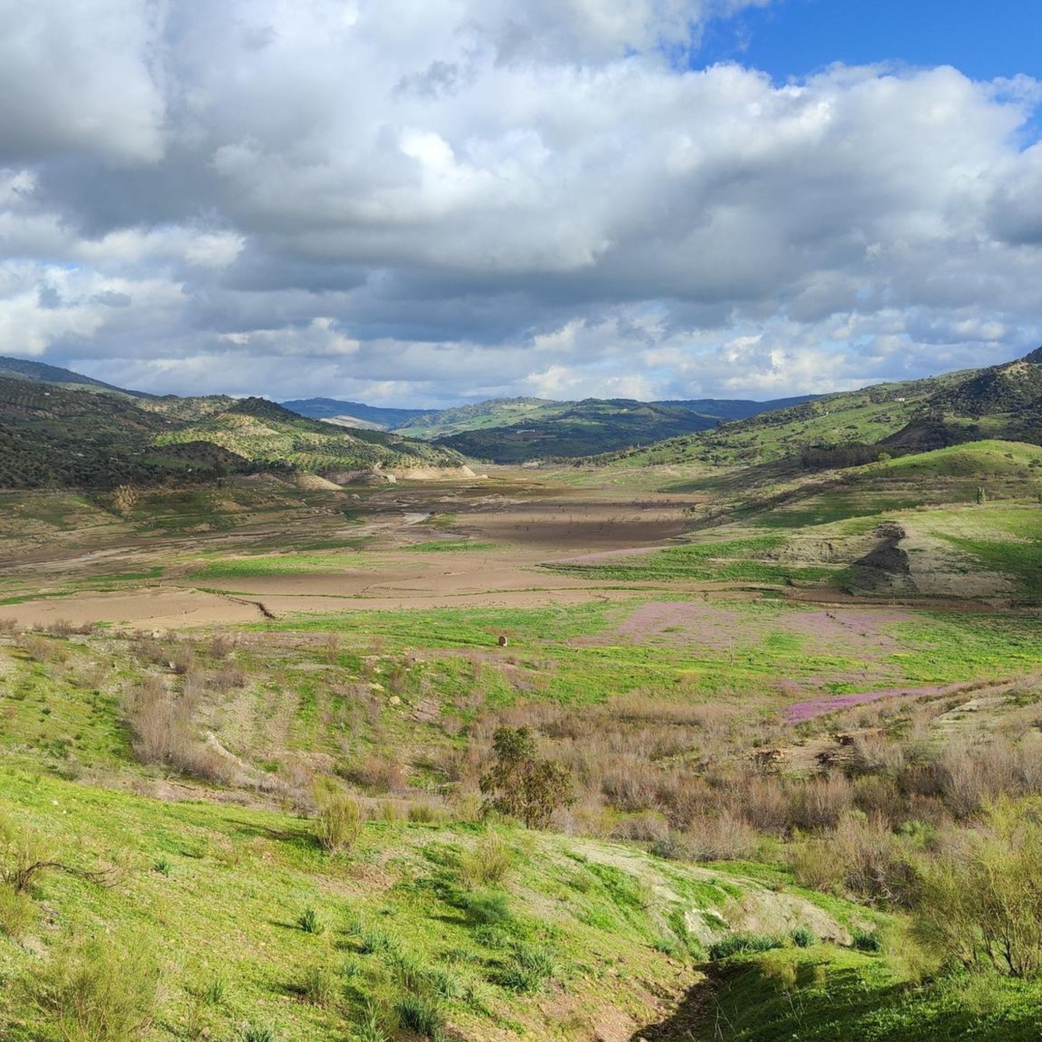
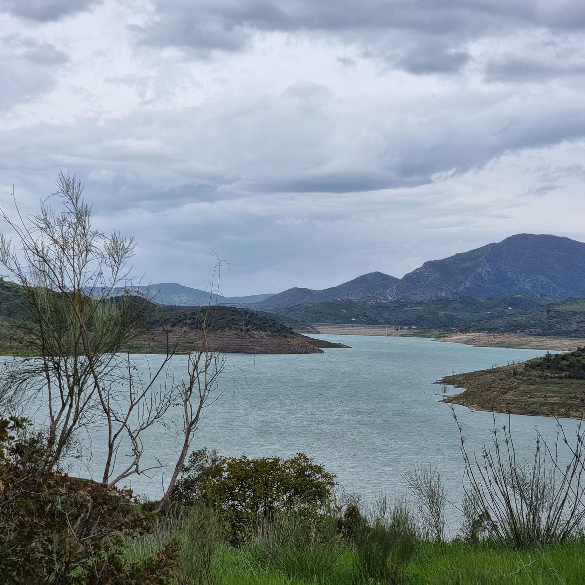
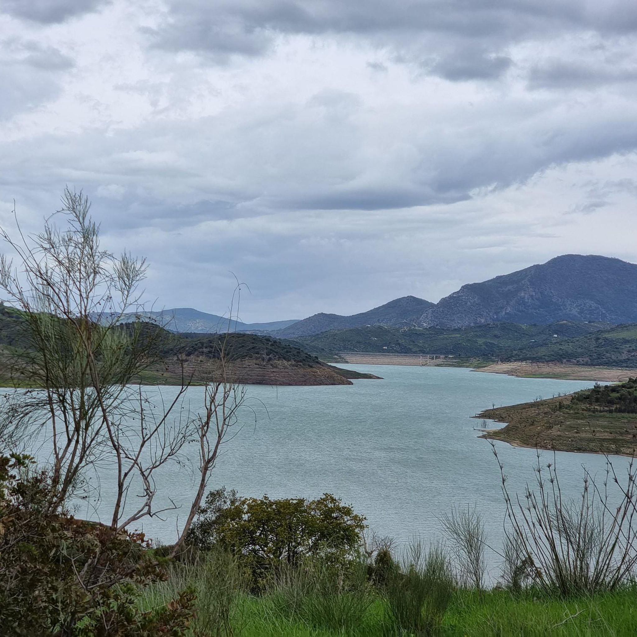
Other adventures around El Gastor

Tips from the Community

Very pretty Andalusian village
0
0

Cuevas del Sol Street in Setenil de las Bodegas is one of the most iconic and photographed corners of this picturesque town in the Sierra de Cádiz, famous for its houses built directly beneath enormous rocks.
8
0


A 135-meter-long viaduct, built using rectangular truncated pyramidal pilasters with mortared ashlars, is formed by the repetition of seven identical arches. It was built to span the Guadalporcún River crossing before it meets the Guadamanil River. The latter originates in the Sierra de la Lebrona mountain range in the municipality of Pruna (Seville) and flows into the Guadalporcún River just a few meters from the viaduct. The confluence of the rivers has created a wide floodplain. From this railway infrastructure, there is a privileged view of the Estrechón Canyon, a natural passage carved by the Guadalporcún River to traverse the foothills of the Zaframagón Rock. Just below, on the left bank of the Guadalporcún, we find the ruined building of what was once the Zaframagón mill. A little further west, other ruins can be seen. It is a small town built for workers on the railway line construction site.
8
0
One of the most beautiful cycle paths in Europe!
9
0

From the new bridge there is a good view of Puente Viejo: an old stone bridge that is one of three bridges that spans the deep Tajo de Ronda gorge with the Guadalevín river in it.
19
1
Setenil de las Bodegas is a picturesque municipality in the province of Cadiz, Andalusia. It is known for its unique urban layout, with houses built under large rocks that form part of the Trejo River canyon. This town is an essential stop on the famous route of the White Villages of Cadiz.
9
0

There is a main street on either side of the Guadalporcún river that runs through the village, both of which offer the perfect places to enjoy the view of the rocks. They are called Cuevas del Sol and Cuevas de la Sombra (Sun and Shadow Caves). They owe their name to the sunlight phenomenon that occurs thanks to the rocks above them. Cuevas del Sol is always in sunlight.
7
0
Frequently Asked Questions
What is the general difficulty level of gravel biking trails around El Gastor?
The gravel biking trails around El Gastor are generally considered difficult. They feature significant elevation changes, including challenging climbs and descents through mountainous terrain, characteristic of the Sierra de Grazalema Natural Park. Expect unpaved roads and tracks that demand a good level of fitness and technical skill.
Are there any beginner-friendly gravel routes in the El Gastor area?
Based on the available routes, most gravel biking trails around El Gastor are rated as difficult, featuring substantial climbs and varied terrain. There are no routes specifically categorized as easy or moderate in this selection, suggesting the area is better suited for experienced gravel bikers.
What kind of terrain can I expect on the gravel bike trails near El Gastor?
You can expect a diverse landscape characterized by limestone mountains, deep valleys, and white villages. The terrain primarily consists of unpaved roads and tracks that traverse olive groves and agricultural lands. Elevation changes are common, providing challenging climbs and descents across the landscape, with varied surfaces suitable for gravel bikes.
What is the best time of year to go gravel biking in El Gastor?
The spring (March to May) and autumn (September to November) months are generally ideal for gravel biking in El Gastor. During these periods, temperatures are milder, and the natural landscape is vibrant. Summers can be very hot, making early morning or late afternoon rides preferable, while winters are generally mild but can bring occasional rain.
Are there any circular gravel bike routes available?
Yes, several popular routes are circular. For example, the challenging Grazalema Village – Puerto de las Palomas loop from Zahara covers 34.8 miles (56.0 km) and includes significant climbs. Another option is the longer Grazalema – Pass of the Doves loop from Levante, which is 64.9 miles (104.4 km).
What are some notable landmarks or attractions I might see along the gravel routes?
Many routes offer views of the stunning Sierra de Grazalema Natural Park. You might encounter historical sites like Zahara de la Sierra Castle or natural features such as the Vía Verde de la Sierra Tunnels and Peñón de Zaframagón. The region also features various viewpoints, including the Levante Viewpoint, Sierra de Líjar, offering panoramic vistas.
Are there opportunities for wild swimming near the gravel trails?
While the guide doesn't specifically list wild swimming spots directly on the trails, the region is known for its natural beauty and rivers. The Fuente del Algarrobo – Guadalete River Trail loop from Zahara follows the Guadalete River, which may offer opportunities for a refreshing dip in suitable conditions, though caution is always advised.
Where can I find parking when gravel biking near El Gastor?
Parking is generally available in the white villages that serve as starting points for many routes, such as El Gastor, Olvera, Zahara de la Sierra, or Grazalema. Look for public parking areas within these towns, especially near the main squares or access points to the trails.
What do other gravel bikers enjoy most about gravel biking in El Gastor?
The komoot community highly rates the gravel biking experience in El Gastor, with an average score of 4.4 stars from more than 7 reviews. Riders often praise the challenging mountainous ascents, the scenic valleys, and the unique experience of riding unpaved tracks that connect rural villages within the Sierra de Grazalema Natural Park.
How long are the typical gravel bike trails around El Gastor?
The gravel bike trails around El Gastor vary in length, but many popular routes are substantial. For instance, the Vía Verde de la Sierra – Zaframagón Viaduct loop from Olvera is 36.6 miles (58.8 km) and takes about 4 hours 23 minutes. Longer routes, like the Setenil de las Bodegas – View of Jardines de Cuenca loop from El Horcajo, can be up to 47.1 miles (75.7 km) and take over 6 hours to complete.
Are there any specific viewpoints or panoramic spots along the routes?
Yes, the mountainous terrain offers numerous opportunities for stunning views. The Levante Viewpoint, Sierra de Líjar is a notable spot. Many routes, especially those climbing to higher elevations or passing through mountain passes like the Puerto de las Palomas, provide expansive vistas of the Sierra de Grazalema Natural Park and the surrounding white villages.
Can I find places to eat or drink along the gravel routes?
While the trails themselves might be remote, the routes often connect or pass near charming white villages such as El Gastor, Grazalema, Zahara de la Sierra, or Olvera. These villages offer opportunities to stop for refreshments, traditional Spanish meals, or to refill water bottles at local cafes and restaurants.
Most popular attractions around El Gastor

Get inspired with the komoot mobile app


Explore more
Browse the best Gravel rides in other regions.
