The best cycling routes around Villatoya
32
riders
6
rides
Best touring cycling routes Villatoya area traverse a landscape characterized by river valleys, gorges, and varied terrain. The region features significant elevation changes, with routes often including descents to river levels followed by ascents. This area offers a mix of natural trails and scenic roads, providing diverse cycling experiences.
Best touring cycling routes around Villatoya
- The most popular touring cycling route is Descent to Tranco del Lobo – Descent/ascent to the river loop from Casas de Ves, a 25.8 miles (41.5 km) trail that takes 3 hours 42 minutes to complete. This route features significant elevation changes as it descends to and ascends from the river.
- Another top favourite among local touring cyclists is Júcar Gorge – Descent/ascent to the river loop from Casas de Ves, a difficult 34.5 miles (55.6 km) path. This route offers scenic views through the Júcar Gorge with challenging ascents and descents.
- Local touring cyclists also love the Cabriel River in Villatoya – La Dehesilla Trail loop from Casas de Ves, a 21.7 miles (35.0 km) trail leading through riverine landscapes and natural trails, often completed in about 3 hours 14 minutes.
- Touring cycling around Villatoya is defined by river valleys, gorges, and scenic viewpoints. The network offers options for moderate and difficult ability levels, catering to experienced cyclists.
- The guide includes highly-rated routes that showcase the best of the region's landscape. More than 20 touring cyclists have used komoot to explore Villatoya's varied terrain.
Last updated: July 6, 2026
8
riders
Hard bike ride. Very good fitness required. Mostly paved surfaces. Suitable for all skill levels.
8
riders
55.9km
04:25
590m
590m
Hard bike ride. Very good fitness required. Mostly paved surfaces. Suitable for all skill levels.

Sign up for free
6
riders
Hard bike ride. Very good fitness required. Mostly paved surfaces. Suitable for all skill levels.
4
riders
Moderate bike ride. Good fitness required. Mostly paved surfaces. Suitable for all skill levels.
2
riders
Hard bike ride. Very good fitness required. Mostly paved surfaces. Suitable for all skill levels.
Our route recommendations are based on thousands of hikes, rides, and runs completed by other people on komoot.
Start today with a free account
Your next adventure awaits.
Login or Signup
Popular around Villatoya
Tips from the Community

It is an old 18th-century wooden irrigation system next to the Cabriel River, which after several restorations continues to function to raise water to the orchards of the "Rinconada de Muñoz", and has a small viewpoint from where you can contemplate this unique piece of hydraulic heritage in the area.
0
0

Nice little village with a curious church in the square.
0
0

The Castle of Alcalá del Júcar is a fortress built by the Almohads in the 12th and 13th centuries. It stands out for its Islamic architecture, with a pentagonal tower and two circular towers. The castle is open to the public and has temporary exhibitions.
4
0

Casas-Ibáñez is a municipality in the province of Albacete, located in the valley of the Cabriel river. In fact, there are several viewpoints that allow you to see the best panoramic views of the area (for example, the Balcón del Ensueño is highly recommended). Of its most notable heritage, it is worth visiting the 17th century church of San Juan Bautista and the Ochando chapel.
2
0
This surprising bridge is located in the Júcar gorge, very close to the buildings of the old hydroelectric plant. It is in perfect condition and is one of the most visited icons of this area of the river.
1
0

The Cabriel River forms a natural border between Albacete and the Valencian Community near the town of Villatoya. The river landscape is the backdrop to many gravel and mountain bike trails in the area.
1
0
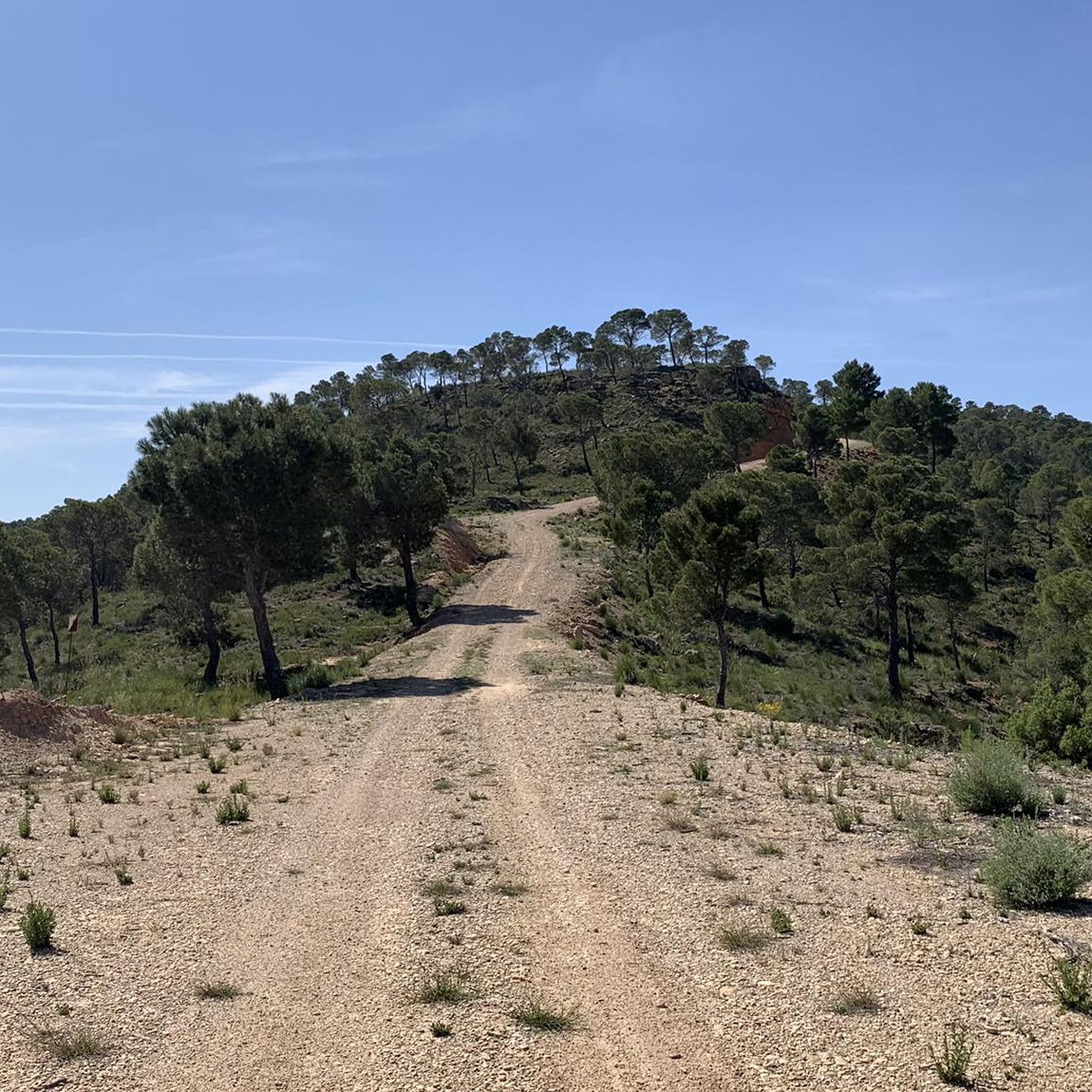
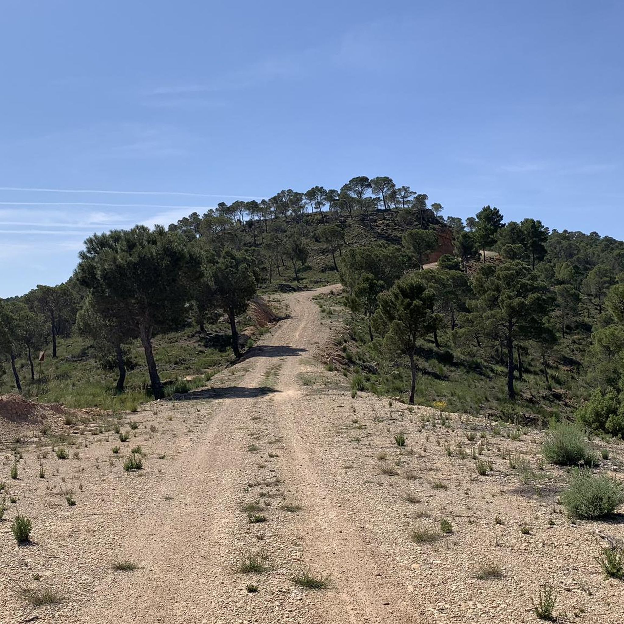
Gravel route along paths surrounded by pine trees through the Sierra de la Parideras. Bring plenty of water when the temperature is high.
1
0
You are crossing the Júcar river on a suspended wooden bridge. If you are afraid of heights close your eyes.
1
0
Frequently Asked Questions
What is the typical difficulty level for touring cycling routes around Villatoya?
The touring cycling routes in Villatoya are generally challenging, with most routes rated as difficult. This is due to the significant elevation changes, as paths often descend to river levels and then ascend. There is one moderate route available for those seeking a slightly less strenuous option.
Are there any moderate touring cycling routes in Villatoya?
Yes, while most routes are difficult, you can find a moderate touring cycling route. The Views of Barrio del Santuario – Santuario Road Scenic View loop from La Redonda is a 30.2 km path that offers a less strenuous experience compared to the region's more challenging trails.
What kind of terrain can I expect on touring bike routes in Villatoya?
The terrain around Villatoya is characterized by river valleys, gorges, and varied landscapes. You'll encounter a mix of natural trails and scenic roads, often featuring significant elevation changes as routes navigate descents to river levels followed by ascents.
Are there any circular touring cycling routes in the Villatoya area?
Yes, all the touring cycling routes in Villatoya are designed as loops. For example, you can explore the Descent to Tranco del Lobo – Descent/ascent to the river loop from Casas de Ves or the Júcar Gorge – Descent/ascent to the river loop from Casas de Ves, both offering circular journeys.
What are some notable natural attractions or viewpoints along the cycling routes?
The region is rich in natural beauty, featuring river valleys and gorges. You can experience the scenic views through the Júcar Gorge on routes like the Júcar Gorge – Descent/ascent to the river loop from Casas de Ves. The Río Cabriel and Cabriel River in Villatoya are prominent features, and you can explore the La Dehesilla Trail which runs alongside the Cabriel River.
How long do the touring cycling routes in Villatoya typically take to complete?
The duration of touring cycling routes in Villatoya varies depending on the distance and difficulty. For instance, the Descent to Tranco del Lobo – Descent/ascent to the river loop from Casas de Ves typically takes about 3 hours 42 minutes, while the longer Fountain of Casas del Río – Noria de Casas de Río loop from Casas de Ves can take around 5 hours 15 minutes.
Are there any specific trails that highlight the Cabriel River?
Yes, the Cabriel River in Villatoya – La Dehesilla Trail loop from Casas de Ves is an excellent option for exploring the riverine landscapes. This route specifically leads through the area around the Cabriel River, offering beautiful views and natural trails.
What is the best time of year to go touring cycling in Villatoya?
Given the region's varied terrain and potential for significant elevation changes, spring and autumn generally offer the most pleasant conditions for touring cycling in Villatoya. Temperatures are milder, and the natural scenery is often at its most vibrant. Summers can be hot, and winters may bring colder temperatures, making these seasons more challenging for longer rides.
Are there any historical or cultural landmarks to see near the cycling routes?
While the routes primarily focus on natural landscapes, you can find points of interest such as the Way of the Cross of Caravaca, which offers a cultural element to your exploration of the Villatoya area.
What should I wear for touring cycling in Villatoya?
Due to the significant elevation changes and varied terrain, it's advisable to wear appropriate cycling gear that allows for comfort and flexibility. Layers are recommended, especially during spring and autumn, to adapt to changing temperatures. Always bring a helmet, gloves, and suitable footwear. Given the potential for longer rides, consider padded shorts for comfort.
Are there any cafes or places to stop for refreshments near the touring cycling routes?
While specific cafes directly on the trails are not detailed, the routes often start or pass through villages like Casas de Ves or La Redonda. These villages typically offer local establishments where you can find refreshments and food. Planning your stops in these towns is recommended for longer rides.
Most popular routes around Villatoya
Most popular attractions around Villatoya

Get inspired with the komoot mobile app


Explore more
Browse the best Cycling routes in other regions.
