The best running trails around Cerezo
38
runners
3
runs
Jogging routes around Cerezo offer a diverse range of terrains, from challenging mountainous paths to scenic riverside trails. The region is characterized by extensive pine forests and ancient transhumance routes, providing a rich natural setting for running. Runners can explore varied landscapes, including areas with significant elevation changes and routes alongside rivers. This environment supports a wide array of running experiences for different fitness levels.
Best jogging routes around Cerezo
- The most popular jogging route is Mirador del Pico Blanco…
Last updated: August 30, 2026
1
runners
12.6km
01:46
570m
580m
Hard run. Very good fitness required. Mostly accessible paths. Some sure footedness required.
13.2km
01:32
220m
220m
Moderate run. Good fitness required. Mostly accessible paths. Some sure footedness required.

Sign up for free
23
runners
33.9km
05:11
1,730m
1,730m
Hard run. Very good fitness required. Mostly paved surfaces. Suitable for all skill levels.
10
runners
19.1km
02:39
800m
800m
Hard run. Very good fitness required. Mostly paved surfaces. Suitable for all skill levels.
4
runners
23.3km
03:01
560m
560m
Hard run. Very good fitness required. Mostly paved surfaces. Suitable for all skill levels.
Our route recommendations are based on thousands of hikes, rides, and runs completed by other people on komoot.
Start today with a free account
Your next adventure awaits.
Login or Signup

Tips from the Community

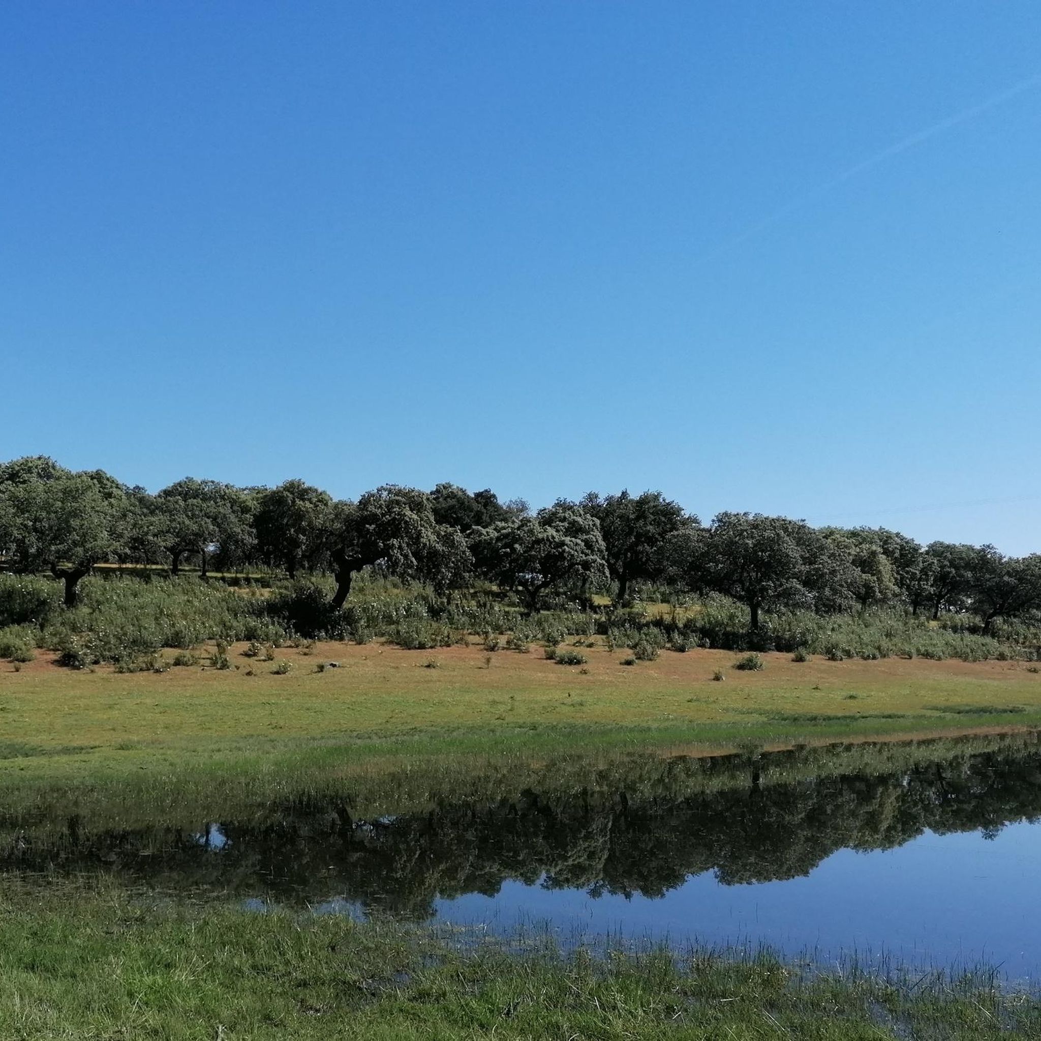
The Pantano de las Tapias is a reservoir located in Caminomorisco, in the province of Cáceres, Extremadura. This reservoir is located near the towns of El Lombo and Mesa Santa. It is an ideal place to enjoy nature and do outdoor activities such as hiking and fishing. One of the popular routes is the one that starts from La Pesga and reaches the reservoir, offering a route of approximately 10.8 km with spectacular views.
3
0
The Mirador en el Río de Los Ángeles is a lovely place to enjoy panoramic views of the natural surroundings. This viewpoint is located in the Las Hurdes region, in Extremadura, and offers a spectacular view of the river and the surrounding landscapes.
2
0
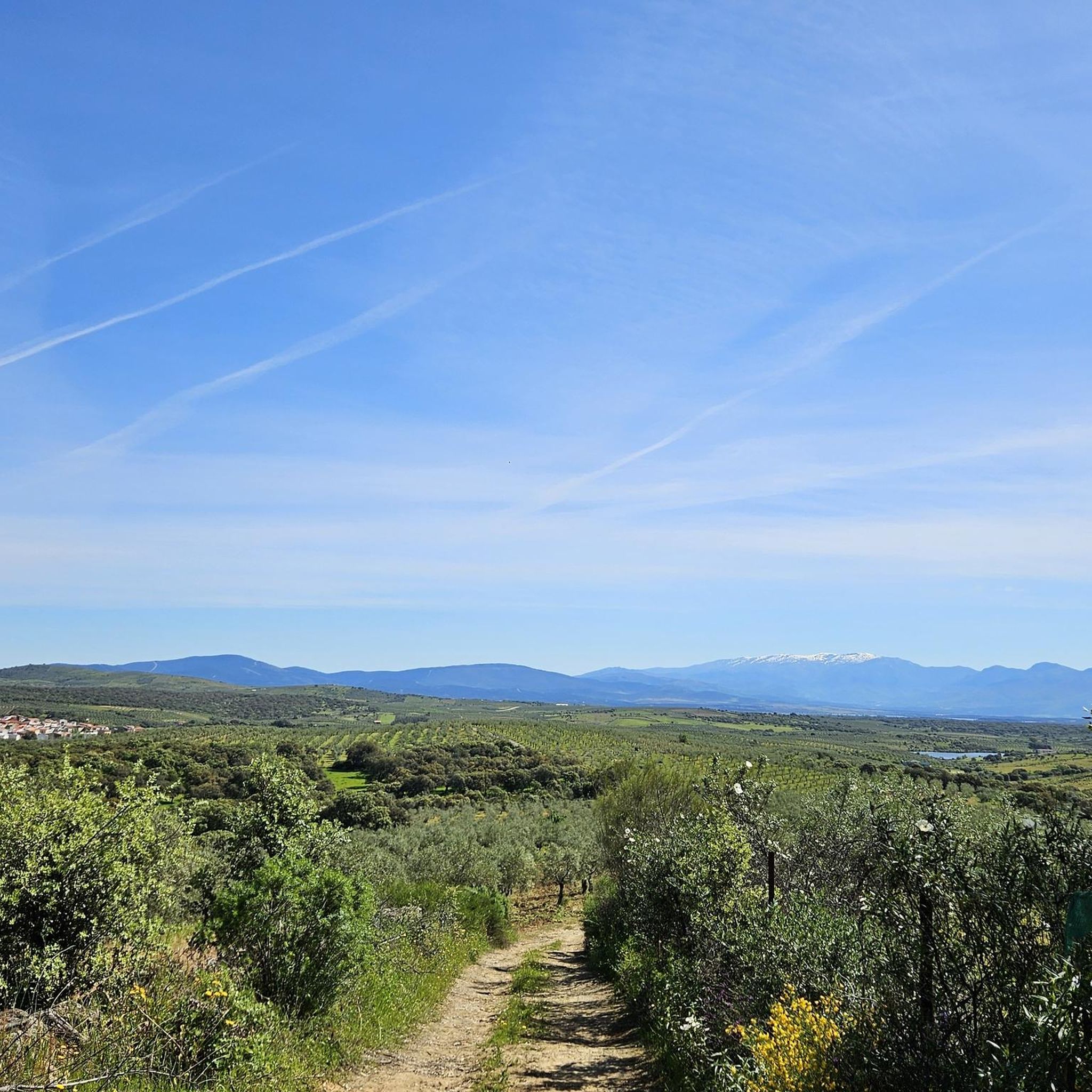
The Mirador Pico Blanco in La Pesga, Extremadura, is a spectacular place to enjoy panoramic views. Located at the highest point in the area, it offers stunning views to the north of Las Hurdes and to the south of the Gabriel y Galán reservoir, the lands of Granadilla and the abandoned town of Granadilla.
4
0

Pretty town that is located in a deep valley at the passage of the Malvellido River. The slopes of the mountains fall to the foot of the town, not to be missed!
0
0

Unknown to many, this beautiful reservoir located in the north of Extremadura is an ideal corner to enjoy the beautiful landscape and especially the tranquility that surrounds it.
1
0
At the top of El Culebro hill is this natural panoramic point with the best views of the northern region of Extremadura, the Río de los Ángeles and the town of La Pesga from where the itinerary begins to get here following a very entertaining path .
1
1
One of the panoramic points with the best views of the northern region of Extremadura, the Río de los Ángeles and the town of La Pesga from where the itinerary begins to get here.
3
0

A hidden corner where you can relax with the sound of water and birds.
1
0
Frequently Asked Questions
How many running routes are available in Cerezo?
Komoot offers a selection of 5 running routes around Cerezo. These routes vary in length and difficulty, providing options for different preferences.
Are there any easy or beginner-friendly running routes in Cerezo?
While many routes in Cerezo are moderate to difficult, there are options like the Río de los Ángeles River Trail, which is rated as moderate. This trail offers a more accessible experience compared to the more challenging mountainous terrain found in the region.
What kind of landscapes can I expect on the jogging trails around Cerezo?
The running trails around Cerezo, particularly in the Cerezo de Arriba area, offer diverse and scenic landscapes. You can expect to jog through extensive pine forests, along ancient transhumance routes, and experience both mountainous challenges and serene riverside paths. The region is known for its natural beauty and varied terrain.
Are there any circular running routes in Cerezo?
Yes, there are several circular running routes available. For example, you can explore the Mirador del Pico Blanco – circular from La Pesga or the Sierra de Dios Padre loop from Trapilabado, both offering a return to your starting point.
What are some interesting places to see along the running routes in Cerezo?
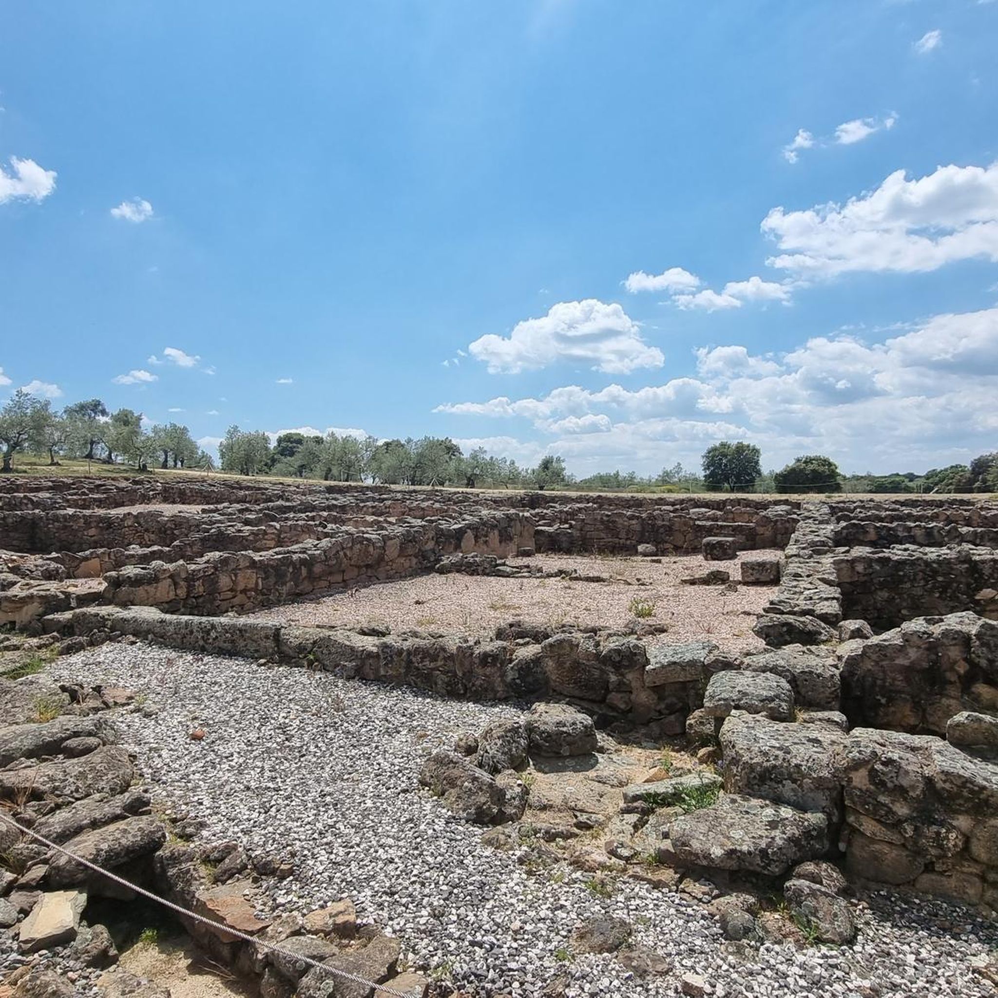
The region around Cerezo is rich with points of interest. You might encounter historical sites like the Granadilla Abandoned Village and Granadilla Castle. For natural beauty, look out for the Pico Blanco Viewpoint or the Pico de Dios Padre. There are also water features such as the Beach at the Borbollón Reservoir and the Gabriel y Galán Dam.
Are there any running routes that feature water bodies or rivers?
Absolutely! The Río de los Ángeles River Trail is a great option for those who enjoy running alongside water. Additionally, the area features several reservoirs and their beaches, such as the Beach at the Borbollón Reservoir and the Gabriel y Galán Reservoir Beach, which can be enjoyed in conjunction with nearby trails.
What is the best time of year for running in Cerezo?
Cerezo offers opportunities for running throughout the year, with each season presenting a unique experience. The region is known for its diverse terrain, including mountainous areas, which means conditions can vary. Spring and autumn generally offer pleasant temperatures, while summer can be warm. Winter running is also possible, especially in areas like Cerezo de Arriba, which has specific routes suitable for colder months.
Are there any challenging running trails for experienced runners?
Yes, Cerezo provides several challenging options for experienced runners. Trails like the Sierra de Dios Padre loop from Santa Cruz de Paniagua are rated as difficult, featuring significant elevation changes and longer distances, perfect for those seeking a strenuous workout.
Can I bring my dog on the running trails in Cerezo?
Many outdoor trails in natural areas are dog-friendly, but it's always best to check local regulations for specific routes or protected areas. Generally, if you keep your dog on a leash and clean up after them, they are welcome on most trails. Always be mindful of wildlife and other trail users.
Where can I find parking for the running routes in Cerezo?
While specific parking information for each route isn't always detailed, many trailheads in natural areas like Cerezo typically have designated parking areas or roadside spots nearby. It's advisable to check the starting point of your chosen route on a map or in the komoot app for the most accurate parking suggestions before you head out.
Are there any viewpoints or scenic spots on the running routes?
Yes, the region boasts several scenic viewpoints. The Pico Blanco Viewpoint is a notable spot offering panoramic vistas. Many routes, especially those traversing higher elevations or along riverbanks, will provide beautiful natural scenery and opportunities for stunning views of the surrounding landscapes and forests.
Are there any running routes that pass through towns or villages?
Some routes may start or pass near local settlements, offering a glimpse into the regional culture. For instance, the Pinofranqueado loop from Pinofranqueado begins and ends in the town, allowing you to explore the Pinofranqueado Town Center. This can be a great way to combine your run with a visit to local amenities or historical sites.
Most popular attractions around Cerezo

Get inspired with the komoot mobile app


Explore more
Browse the best Running Trails & Routes in other regions.
