The best walks and hikes around Domingo García
38
hikers
17
hikes
Hiking around Domingo García offers routes through a landscape characterized by flat terrain and river valleys. The region features agricultural lands and local villages, with minimal elevation changes. These trails provide opportunities to explore the area's natural and rural environment.
Best hiking trails around Domingo García
- The most popular hiking route is Carbonero el Mayor and Río Pirón Loop, a 10.3 miles (16.6 km) trail that takes 4 hours 20 minutes to complete, following the Río Pirón.
- Another top…
Last updated: July 6, 2026
1
hikers
16.6km
04:19
110m
110m
Moderate hike. Good fitness required. Easily-accessible paths. Suitable for all skill levels.
4
hikers
7.74km
01:57
10m
10m
Easy hike. Great for any fitness level. Easily-accessible paths. Suitable for all skill levels.

Sign up for free
2
hikers
5.91km
01:33
50m
50m
Easy hike. Great for any fitness level. Easily-accessible paths. Suitable for all skill levels.
2
hikers
3.09km
00:49
30m
30m
Easy hike. Great for any fitness level. Easily-accessible paths. Suitable for all skill levels.
2
hikers
Moderate hike. Good fitness required. Easily-accessible paths. Suitable for all skill levels.
Get access to more routes and recommendations from other explorers.
Sign up for free
Already have an account?
Our route recommendations are based on thousands of hikes, rides, and runs completed by other people on komoot.
Start today with a free account
Your next adventure awaits.
Login or Signup

Tips from the Community

Nava de la Asunción is a Spanish municipality and town in the province of Segovia. Originally known as Nava de Coca, it belonged to the village and land community. Later, in 1773, King Carlos III granted it the title of Villa and added “La Asunción” to its name, in honor of the Virgin, patron saint of the town. I hope you found this brief description interesting! 😊
2
0
Carbonero el Mayor is a municipality and Spanish town in the province of Segovia, in the southern part of the autonomous community of Castilla y León. It appears cited in 1247 under the name Carbonero de Liedos; In 1587 it was mentioned as Carbonero la Mayor and in the 19th century it already appeared with its current name.
4
0

Carbonero el Mayor is a town located north of the city of Segovia, in the middle of the plain that goes from the Central System and the great plains of Valladolid.
1
0
Population located north of the capital of the province, Segovia. It is a nucleus located between the two rivers, the Río Edesma and the Río Voltoya.
1
0
Green way that runs between the towns of Nava de la Asunción and Ciruelos de Coca and that leaves us with beautiful landscapes in the rainy season, where the fields turn green.
1
0
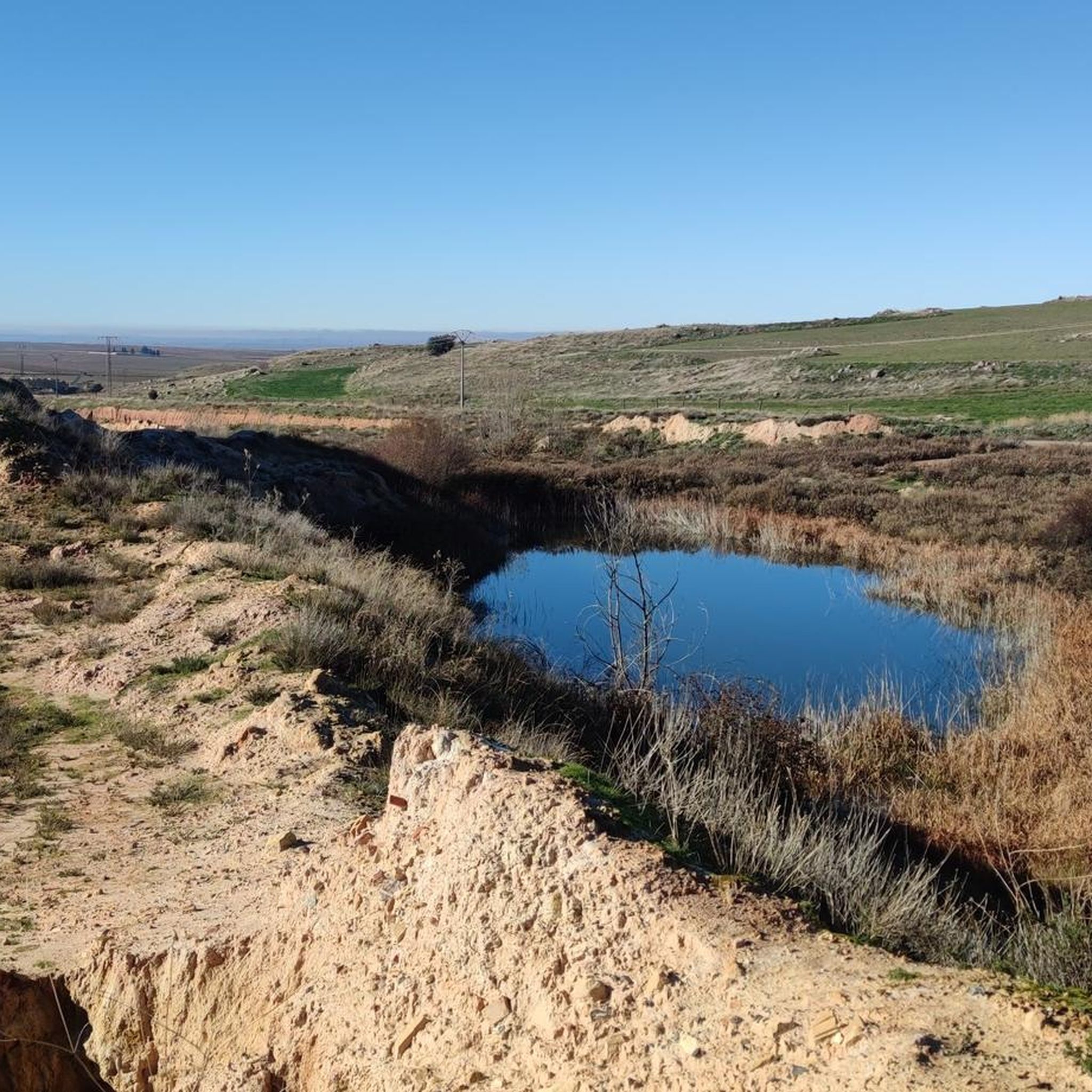
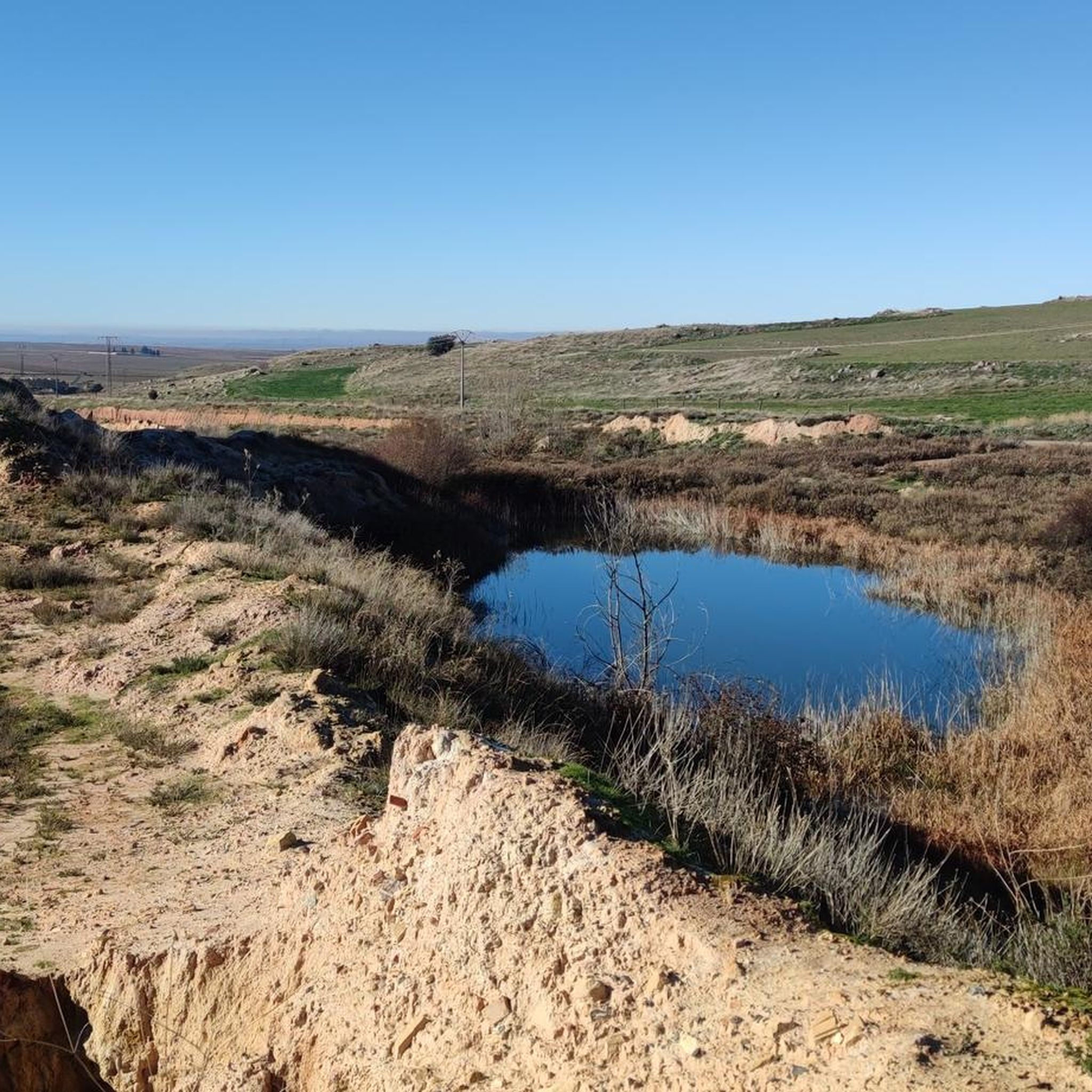
With care we can cross the Pirón River through this ford.
10
0
Frequently Asked Questions
How many hiking trails are available in Domingo García?
There are 12 hiking trails around Domingo García. The majority, 9 routes, are considered easy, while 3 are moderate, making the area accessible for various fitness levels.
What kind of terrain can I expect when hiking in Domingo García?
Hiking in Domingo García is characterized by flat terrain and river valleys. You'll primarily encounter agricultural lands and local villages, with minimal elevation changes, offering a gentle and scenic walking experience.
Are there any circular hiking routes in Domingo García?
Yes, several routes in Domingo García are circular. For example, the Carbonero el Mayor and Río Pirón Loop is a moderate 16.6 km circular trail, and the Nava de la Asunción loop from Nava de la Asunción offers an easy 7.7 km circular path.
What are some easy hiking options for beginners in Domingo García?
For beginners, the Nava de la Asunción loop from Nava de la Asunción is an easy 7.7 km path with views of the countryside. Another good option is the Carbonero el Mayor loop from Carbonero el Mayor, an easy 6.0 km trail through villages and fields.
What can I see along the hiking trails in Domingo García?
Along the trails, you can explore various points of interest. Consider visiting the Ortigosa del Pestaño — Abandoned Railway Station, the historic Hermitage of the Virgin of the Well, or the Old Yanguas de Eresma Station. The Vía Verde del Valle del Eresma – Countryside Section also offers scenic views.
Are there any facilities or rest areas along the routes?
Yes, you can find facilities such as the Miguel Ibáñez Rest Area and Fountain, which provides a convenient spot to take a break during your hike.
Is Domingo García suitable for family-friendly hikes?
Yes, with 9 easy routes and minimal elevation changes, Domingo García is well-suited for family-friendly hikes. Trails like the Laguna de Constanzana loop from Callejón del Valle (3.1 km) are short and manageable for families with children.
What is the best time of year to go hiking in Domingo García?
Given the region's flat terrain and agricultural landscape, hiking is generally pleasant during spring and autumn when temperatures are mild. Summer can be warm, while winter offers a different, often quieter, experience.
Are there any longer, more challenging routes for experienced hikers?
While most routes are easy, the Carbonero el Mayor and Río Pirón Loop is a moderate 16.6 km trail, offering a longer distance for those seeking a more extended walk. The Nava de la Asunción – Eresma Greenway loop from Nava de la Asunción is another moderate option at 13.0 km.
What do other hikers enjoy most about hiking in Domingo García?
Hikers often appreciate the peaceful environment, the gentle nature of the trails, and the opportunity to explore rural Spanish landscapes. The routes provide a chance to connect with nature and local villages away from more strenuous mountain terrain.
Are there options for parking at the trailheads?
While specific parking details for each trailhead are not provided, many routes start from or pass through local villages like Carbonero el Mayor and Nava de la Asunción, where public parking is typically available for visitors.
Most popular attractions around Domingo García

Get inspired with the komoot mobile app


Explore more
Browse the best Hikes in other regions.
