The best walks and hikes around Montarrón
5.0
(5)
14
hikers
3
hikes
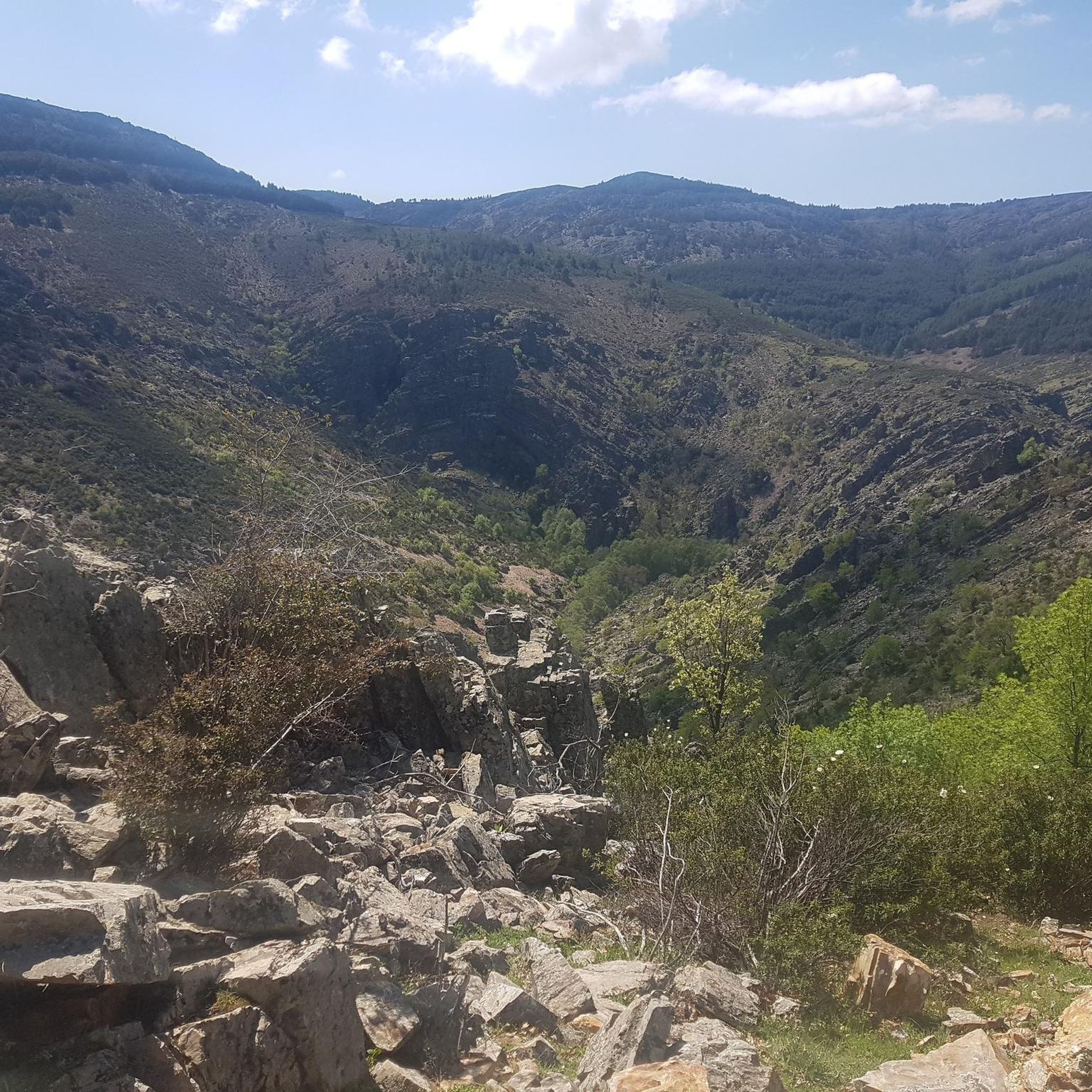
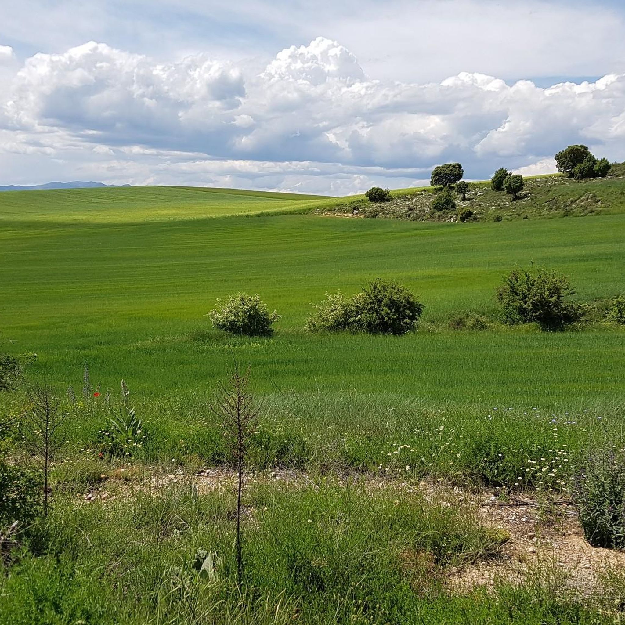
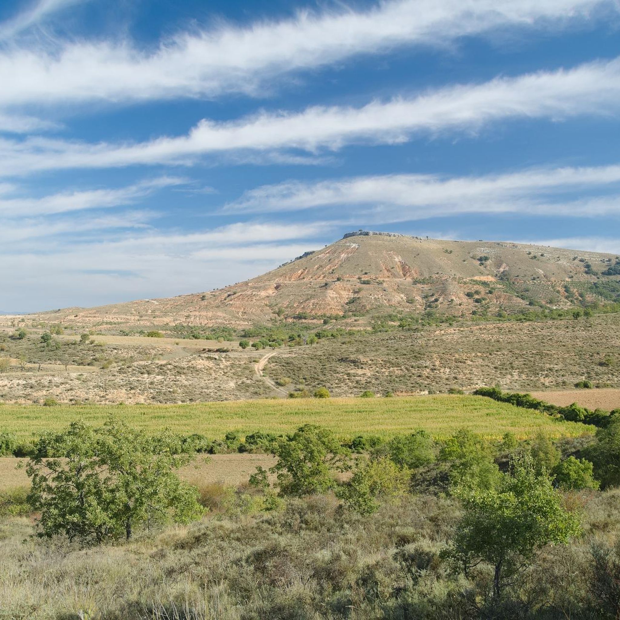
Hiking around Montarrón offers access to diverse landscapes within the Sierra Norte de Guadalajara Natural Park and the Sierra de Ayllón mountain range. The region is characterized by rugged terrain with varied geological formations, including slate, quartzite, and gneiss, which form distinctive ridges, valleys, and fluvial canyons. Significant rivers like the Jaramilla and Jarama flow through the area, complemented by ancient beech, oak, and pine forests. This setting provides a range of natural features for outdoor exploration.
Best hiking trails…
Last updated: June 22, 2026
5.0
(1)
3
hikers
11.9km
03:19
230m
220m
Moderate hike. Good fitness required. Easily-accessible paths. Suitable for all skill levels.
5.0
(1)
5
hikers
2.30km
00:46
110m
120m
Easy hike. Great for any fitness level. Easily-accessible paths. Suitable for all skill levels.

Sign up for free
5.0
(1)
3
hikers
Easy hike. Great for any fitness level. Easily-accessible paths. Suitable for all skill levels.
5.0
(1)
2
hikers
8.74km
02:16
50m
50m
Moderate hike. Good fitness required. Easily-accessible paths. Suitable for all skill levels.
5.0
(1)
1
hikers
12.8km
03:19
80m
80m
Moderate hike. Good fitness required. Easily-accessible paths. Suitable for all skill levels.
Our route recommendations are based on thousands of hikes, rides, and runs completed by other people on komoot.
Start today with a free account
Your next adventure awaits.
Login or Signup
Popular around Montarrón
Tips from the Community

Small but pretty, on the side of the road. It looks like a dolmen. The time-darkened stones give it a beautiful appearance.
0
0
On the outskirts of town, a place of meditation and rest.
0
0
Beautiful town in Guadalajara, with a pillory, a church and a beautiful main square.
0
0
Hita is a beautiful town full of history. The castle, the walls, its houses and churches, and the Archpriest of Hita bear witness to this.
0
0
A place with a lot of history. Only the ruins remain.
0
0
Hita is a beautiful medieval town with a lot of charm in any of its corners. It was the headquarters of the Mecnes Berber Muslims, one of their leaders even proclaimed himself Caliph of Spain, although he only lasted a week in office, the time it took for his enemies in Córdoba to get rid of him. It was later conquered by Alvar Fáñez de Minaya for El Cid. Among his most famous characters in Hita, we must highlight his famous Archpriest Juan Ruiz, with numerous writings. Phrases from his Book of Good Love are reproduced on some walls in the town.
0
0

A spectacular town, homeland of the famous Archpriest. Getting to it, however, will cost you, as it is perched on top of a hill.
0
0

10' of effort are required due to the slope. Good footwear is essential and do not climb in high temperatures.
1
0
Frequently Asked Questions
How many hiking trails are there around Montarrón?
Komoot offers a selection of 3 curated hiking routes directly around Montarrón. However, the wider Sierra Norte de Guadalajara Natural Park, where Montarrón is located, boasts an extensive network of over 525 km of trails across 43 routes, catering to various ability levels.
Are there any easy hikes suitable for beginners or families near Montarrón?
Yes, there are several accessible options. For a shorter, easy stroll, consider the Historic Center of Hita – Hita loop from Hita, which is just over 2 km. Another easy route is the Ducal Palace of Cogolludo – Plaza Duques de Medinaceli loop from Cogolludo, covering about 4.7 km. These are great for those looking for a gentle introduction to the area's beauty.
Can I find circular hiking routes near Montarrón?
Absolutely. Many of the trails in the region are designed as loops, allowing you to start and end in the same location. Examples include the moderate La Mierla Village Center – Cueva de La Mierla loop from La Mierla, or the easy Historic Center of Hita – Hita loop from Hita. The Sierra Norte de Guadalajara Natural Park is known for its well-maintained circular footpaths.
What kind of natural features or landmarks can I expect to see on the trails?
The region around Montarrón is rich in diverse landscapes. You can explore ancient beech, oak, and pine forests, including the UNESCO World Heritage site of Hayedo de Tejera Negra. River valleys, such as those of the Jaramilla and Jarama, offer scenic views and opportunities to see waterfalls like Chorreras de Despeñalagua. You might also encounter geological formations of slate, quartzite, and gneiss, which define the rugged terrain. For specific points of interest, consider visiting Hita and its Historic Center, or enjoy the View of Cogolludo.
Are there any waterfalls or river walks in the area?
Yes, the landscape is characterized by significant rivers like the Jaramilla and Jarama. Trails often follow their courses, offering beautiful riverine scenery. The Chorreras de Despeñalagua is a notable waterfall in the region, providing a refreshing spot to visit. You can also find the Stone Bridge over the Henares River, which is a picturesque highlight.
Is Montarrón a good place for dog-friendly hiking?
The Sierra Norte de Guadalajara Natural Park generally welcomes dogs on trails, provided they are kept under control, especially to protect local wildlife. It's always best to check specific park regulations or individual trail rules before heading out, but many of the natural paths are suitable for hiking with your canine companion.
What is the best time of year to go hiking around Montarrón?
The region offers distinct experiences throughout the year. Spring brings lush greenery and wildflowers, while autumn is spectacular with the changing colors of the beech and oak forests, particularly in areas like Hayedo de Tejera Negra. Summers can be warm, making early mornings or late afternoons ideal, especially for trails near rivers where you can cool off. Winter hiking is possible, especially at lower elevations, but higher peaks may require appropriate gear for snow and ice.
Are there any 'black architecture' villages I can visit on a hike?
Yes, the Sierra Norte de Guadalajara is famous for its unique 'black architecture' villages, where houses are built with locally mined slate and quartzite. While Montarrón itself has a history of reconstruction, many nearby villages serve as charming starting points for hikes and offer a glimpse into this distinctive architectural style. Exploring these villages can be a highlight of your hiking trip.
What do other hikers say about the trails around Montarrón?
The trails around Montarrón are highly rated by the komoot community, with an average score of 5.0 stars from 5 ratings. Reviewers often praise the quiet, immersive experience offered by the extensive network of paths, allowing for a solitary connection with the diverse and rugged beauty of central Spain.
Are there options for longer, more challenging hikes?
While the immediate routes listed are moderate at most, the broader Sierra Norte de Guadalajara Natural Park and Sierra de Ayllón mountain range offer numerous challenging ascents. Peaks like Pico del Lobo (2,273 m), El Cerrón (2,199 m), and Pico Ocejón (2,049 m) provide opportunities for demanding hikes with expansive panoramic views. For a moderate, longer option, consider the La Mierla Village Center – Cueva de La Mierla loop from La Mierla, which is nearly 12 km.
Are there any lakes or lagoons to visit while hiking?
Yes, the region features natural water bodies that can be incorporated into your hiking plans. The Lagunas de La Puebla de Beleña are a notable highlight, offering a serene natural setting perfect for a peaceful stop during your adventure.
What are the options for moderate difficulty hikes?
For hikers looking for a moderate challenge, there are several excellent options. The La Mierla Village Center – Cueva de La Mierla loop from La Mierla is a moderate route spanning nearly 12 km. Additionally, two variations of the Weir on the Henares River loop from Humanes offer moderate experiences, one at about 8.7 km and another at 12.7 km, providing scenic river views.
Most popular routes around Montarrón
Most popular attractions around Montarrón

Get inspired with the komoot mobile app


Explore more
Browse the best Hikes in other regions.
