The best gravel rides around San Agustín
5.0
(4)
64
riders
8
rides
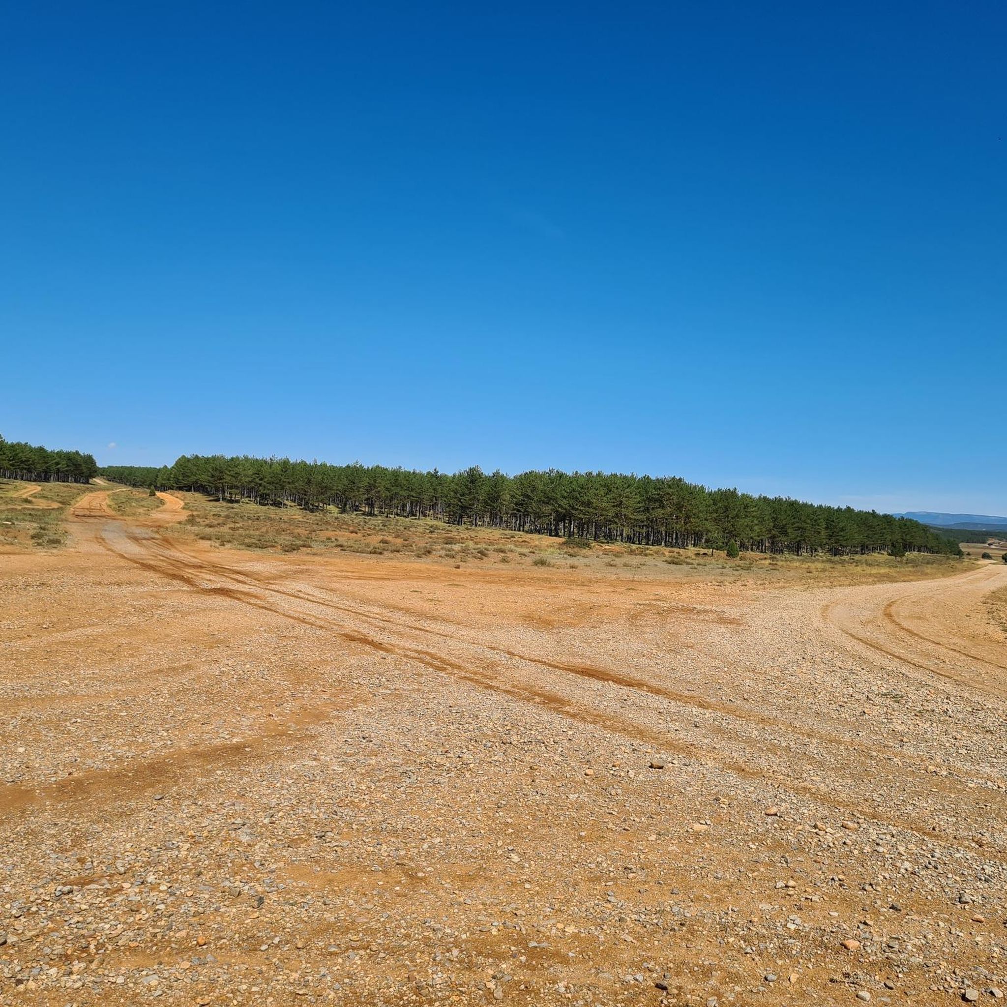
Gravel biking around San Agustín offers routes through varied terrain, characterized by significant elevation changes and natural landscapes. The region features challenging climbs and descents, often traversing mountainous areas and open plains. Riders can expect a mix of surfaces suitable for gravel bikes, connecting different natural points of interest within the Andean countryside. The varied topography provides an abundance of winding dirt roads and trails.
Best gravel bike trails around San Agustín
- The most popular gravel bike trail is Albentosa…
Last updated: July 6, 2026
5.0
(3)
42
riders
131km
07:59
1,340m
1,340m
Hard gravel ride. Very good fitness required. Mostly paved surfaces. Suitable for all skill levels.
3
riders
36.6km
02:59
850m
850m
Hard gravel ride. Very good fitness required. Mostly paved surfaces. Suitable for all skill levels.

Sign up for free
5.0
(1)
5
riders
70.0km
04:52
1,080m
1,080m
Hard gravel ride. Very good fitness required. Mostly paved surfaces. Suitable for all skill levels.
5.0
(1)
7
riders
129km
08:03
1,320m
1,320m
Hard gravel ride. Very good fitness required. Mostly paved surfaces. Suitable for all skill levels.
1
riders
33.6km
02:57
750m
750m
Hard gravel ride. Very good fitness required. Mostly paved surfaces. Suitable for all skill levels.
Get access to more routes and recommendations from other explorers.
Sign up for free
Already have an account?
Our route recommendations are based on thousands of hikes, rides, and runs completed by other people on komoot.
Start today with a free account
Your next adventure awaits.
Login or Signup
Tips from the Community

More than a campsite, I'd say it's a recreational area for picnicking. It has children's games, a water fountain, and tables.
1
0
It is currently under reconstruction (2025). It is worth visiting and seeing the progress of the reconstruction, especially inside.
0
0

These beautiful viaducts span the Fuensanta ravine. One is still in use for the railway, while the other allows cyclists to cross the Ojos Negros Greenway. It's worth stopping to enjoy the views.
1
0

Be careful, in 2025 the train track is under construction and the Green Way is closed from here to Torás.
1
0
There are four routes across this viaduct: the green route, two that cross underneath and reach Masadas Blancas and Pico del Aguila, and a third to the right that goes to Más de Noguera.
0
0

Excellent route!!
0
0

There are several rural houses and accommodations. It is not just a village next to a national highway, it has a peculiar charm of a moorland village. A street runs through the whole town, if you look carefully you will guess many of its people and its history. It grew and now it is retreating.
1
0

Frequently Asked Questions
How many gravel bike trails are available around San Agustín?
There are 7 gravel bike trails documented around San Agustín on komoot, offering a variety of challenging routes through mountainous terrain.
Are there any easy or beginner-friendly gravel bike routes in San Agustín?
The gravel biking routes around San Agustín are primarily characterized by challenging climbs and descents, often traversing mountainous areas. Most of the routes are rated as difficult, making them best suited for experienced riders. There is one moderate route, but no easy routes are currently listed.
What kind of terrain can I expect on gravel bike trails in San Agustín?
You can expect varied terrain with significant elevation changes, including challenging climbs and descents. The routes often traverse mountainous areas and open plains, connecting different natural points of interest. Surfaces are suitable for gravel bikes.
Are there any circular gravel bike routes in San Agustín?
Yes, many of the gravel bike routes in San Agustín are designed as loops. For example, you can explore the Albentosa Picnic Area – Red Plain loop from Fuente la Reina, or the Puerto de Nogueruelas – Rubielos de Mora loop from Masía La Torre, both offering extensive distances and considerable elevation gain.
What are some notable viewpoints along the gravel bike routes in San Agustín?
The mountainous landscape of San Agustín offers several scenic viewpoints. You might encounter views like View of Puebla de Arenoso or the expansive View of Embalse de Arenoso and Muela de Mijares from El Morrón de Campos. These highlights are often found along or near the trails, providing stunning vistas of the surrounding region.
What do other gravel bikers say about the trails in San Agustín?
The gravel biking routes in San Agustín are highly rated by the komoot community, with an average score of 5.0 stars. Riders often praise the challenging nature of the routes and the diverse natural landscapes they encounter.
Are there any specific attractions or landmarks near the gravel bike trails?
Beyond the trails themselves, the region features natural attractions such as lakes and mountain passes. You could visit the Fuente de los Baños - Montanejos Lake or explore mountain passes like Los Molares Pass, which are often integrated into longer routes or accessible nearby.
What is the typical duration for gravel bike routes in San Agustín?
The duration of routes varies significantly due to their challenging nature and length. For instance, the Palancar Station Campsite – View of Barracas loop from Barracas typically takes about 5 hours 46 minutes, while longer routes can extend to over 9 hours.
Is San Agustín suitable for family-friendly gravel biking?
Given that most routes in San Agustín are rated as difficult with significant elevation changes, they are generally more suited for experienced riders. Families with younger children or those seeking very easy, flat rides might find these trails too challenging. It's advisable to check individual route details for suitability.
What are the best times of year for gravel biking in San Agustín?
While specific weather conditions can vary, mountainous regions like San Agustín generally offer pleasant gravel biking during spring and autumn when temperatures are milder. Summers can be hot, and winters may bring colder conditions, especially at higher elevations. Always check local weather forecasts before heading out.
Where can I find parking for gravel bike trails in San Agustín?
Parking availability can vary by trailhead. Many routes start from or pass through small towns or designated picnic areas, where parking might be available. For example, routes like the Trail between mountains – Masadas Blancas loop from Pina de Montalgrao often begin near villages, suggesting potential parking options there.
Most popular routes around San Agustín
Most popular attractions around San Agustín

Get inspired with the komoot mobile app


Explore more
Browse the best Gravel rides in other regions.
