The best cycling routes around Villanueva De La Fuente
5.0
(1)
20
riders
5
rides
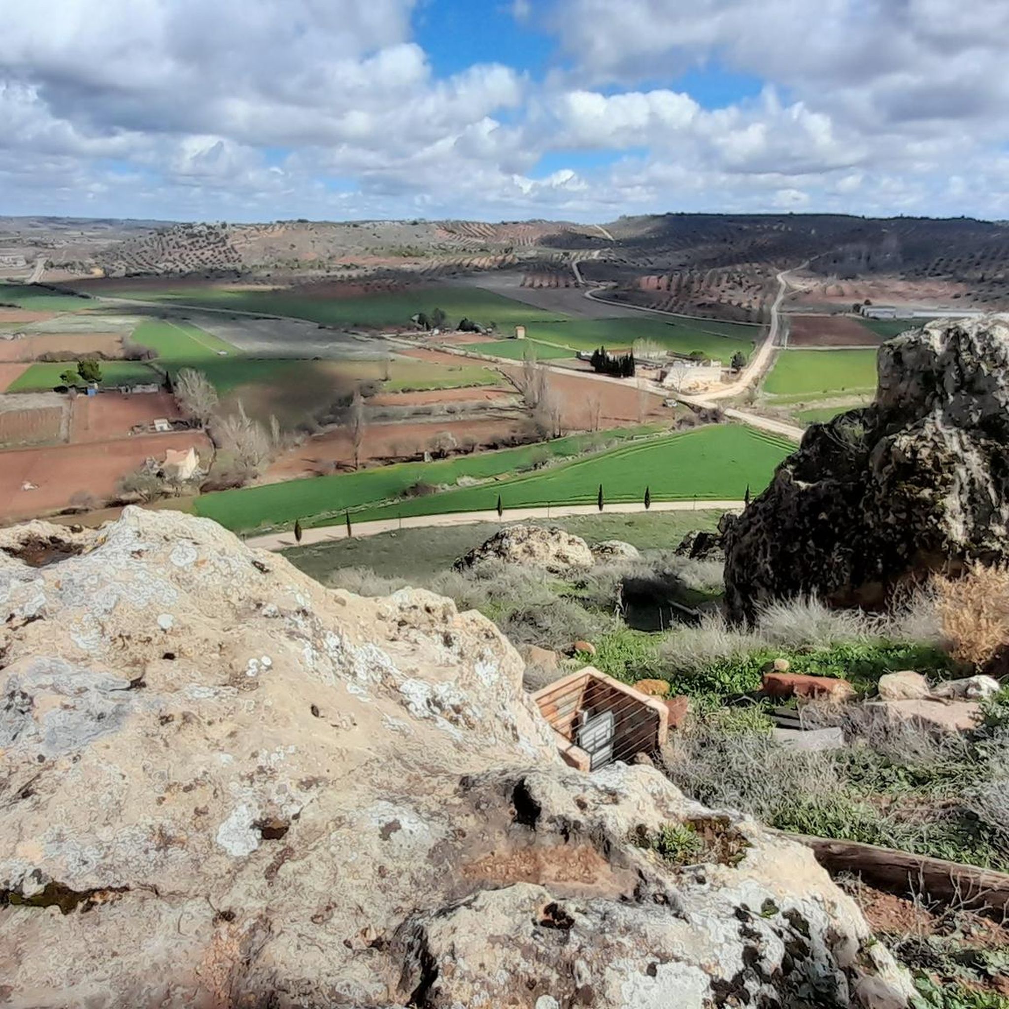
Touring cycling around Villanueva De La Fuente offers diverse landscapes across a plateau with an average altitude of 1,010 meters. The region features a blend of steppe and Mediterranean ecosystems, predominantly characterized by holm oaks and savin junipers. Notable natural features include the birth of the Villanueva River, fed by powerful springs, creating lush river plains, and the Sierra del Relumbrar with its Mediterranean forests. These varied terrains provide a range of experiences for touring cyclists.
Best touring cycling routes…
Last updated: July 6, 2026
79.8km
06:18
470m
470m
Hard bike ride. Very good fitness required. Some segments of this route may be unpaved and difficult to ride.
8
riders
44.6km
04:37
1,180m
1,180m
Hard bike ride. Very good fitness required. You may need to push your bike for some segments of this route.

Sign up for free
2
riders
Moderate bike ride. Good fitness required. Mostly paved surfaces. Suitable for all skill levels.
3
riders
33.0km
02:54
560m
560m
Hard bike ride. Very good fitness required. Mostly paved surfaces. Suitable for all skill levels.
4
riders
93.2km
06:31
1,700m
1,700m
Hard bike ride. Very good fitness required. Mostly paved surfaces. Suitable for all skill levels.
Our route recommendations are based on thousands of hikes, rides, and runs completed by other people on komoot.
Start today with a free account
Your next adventure awaits.
Login or Signup
Popular around Villanueva De La Fuente


Tips from the Community

there is a bakery and small tienda to refuel on food. the little square is cozy to relax a bit
0
0

The rich landscape of this municipality, and its plant heritage, make it one of the most interesting for nature lovers, who can lose themselves among the streams and creeks that run through its area, such as the Arroyo de Fuente del Tejo, or climb the Picos de La Sagra and El Padrón, from where they can delight in the view of the entire Guadalimar Valley.
1
0

Good gravel route wich take you throu variating landscape with low effort.
0
0

These are the salt mines that are more than 600 years old. In the environment you can see flora and fauna that adapted to the salinity.
1
0

Small town that is nestled between mountains at a point where the Hermitage of San Bartolomé dominates the center of Bienservida.
0
0
Beautiful town that is located on one of the plains created by the passage of the Río Giuadalmenar
0
1
Beautiful mountain pass located after the town of Villaverde de Guadalimar. It is demanding and long. Now, it is worth getting to the top and enjoying the views.
1
0

Villaverde de Guadalimar is a good starting point for your adventure through the Los Calares del Mundo and La Sima natural park. Spectacular views of the exposed rock at La Peña del Cambrón.
1
1
Frequently Asked Questions
How many touring cycling routes are available around Villanueva De La Fuente?
There are 6 touring cycling routes around Villanueva De La Fuente, offering a variety of experiences for different skill levels. These routes traverse diverse landscapes, from river plains to Mediterranean forests.
What kind of terrain can I expect on touring cycling routes in Villanueva De La Fuente?
The region sits on a plateau with an average altitude of 1,010 meters, offering varied terrain. You'll encounter a mix of steppe and Mediterranean ecosystems, predominantly characterized by holm oaks and savin junipers. Routes can lead through lush river plains, such as those near the birth of the Villanueva River, or through the more intricate Mediterranean forests of the Sierra del Relumbrar. Some routes feature significant elevation gain, while others are more moderate.
Are there any circular touring cycling routes in the area?
Yes, several routes are designed as loops. For instance, the Las Lagunas de Ruidera — circular desde Viveros route is a challenging 49.6-mile (79.8 km) loop exploring the wider natural park. Another option is the Bienservida – Plaza Mayor de Bienservida loop from Estación Villapalacios, which is a difficult 29.6-mile (47.6 km) path with significant elevation gain.
What are some notable natural features or landmarks I can see while cycling?
Villanueva de la Fuente offers several natural and historical points of interest. You can cycle near the origin of the Villanueva River, fed by powerful springs, which creates a lush plain. The Sierra del Relumbrar provides scenic Mediterranean forests. Historically, the area is rich, with the archaeological site of Mentesa Oretana and the 15th-century Santuario de la Virgen de los Desamparados. You might also encounter highlights like the Closed road through a beautiful canyon or the Vía Verde of the Sierra de Alcaraz.
Are there any family-friendly touring cycling routes?
While many routes in the immediate vicinity are rated as difficult, there is a moderate option that might be suitable for families with some cycling experience. The Villapalacios – Closed road through a beautiful canyon loop from Estación Villapalacios is a 13.6-mile (21.8 km) trail that leads through a scenic canyon and is often completed in about 1 hour 35 minutes. This route offers a less strenuous option compared to the more challenging, longer tours.
What do other touring cyclists enjoy the most about cycling in Villanueva De La Fuente?
The komoot community highly rates the touring cycling experience in Villanueva De La Fuente, with an average score of 5.0 stars. Cyclists often praise the diverse landscapes, which include river plains, holm oak dehesas, and the Mediterranean forests of the Sierra del Relumbrar, providing a rich and varied backdrop for rides.
What is the best time of year to go touring cycling in Villanueva De La Fuente?
Villanueva de la Fuente, with its plateau location, experiences distinct seasons. Spring and autumn generally offer the most pleasant weather for cycling, with milder temperatures and less extreme heat than summer. These seasons also showcase the natural beauty of the diverse ecosystems, from lush river plains to holm oak dehesas.
Are there any routes that pass by historical sites or castles?
Yes, the region has a rich history. While cycling, you might encounter historical elements such as the ancient Vía Augusta. For specific historical landmarks, consider exploring routes that pass near sites like Montiel Castle or the area around Santiago Apóstol and Albaladejo Castle. The town itself also houses the Museo Arqueológico Municipal, which displays artifacts from the significant archaeological site of Mentesa Oretana.
Are there any touring cycling routes with significant elevation changes?
Yes, many of the touring cycling routes around Villanueva De La Fuente feature significant elevation changes, contributing to their 'difficult' rating. For example, the Villapalacios – El Padrón loop from Estación Villapalacios is a difficult 43.5-mile (70 km) route with substantial climbs. Another challenging option is the Villapalacios – Salobre Viewpoint loop from Estación Villapalacios, a 36.3-mile (58.4 km) difficult route.
Can I find places to eat or stay near the cycling routes?
While specific cafes or accommodations directly on the routes are not detailed, Villanueva de la Fuente and nearby towns offer amenities for cyclists. It's advisable to plan your stops in advance, especially for longer routes, to ensure you have access to refreshments and rest points.
What are the options for parking when accessing these cycling routes?
Many routes in the area, particularly those starting from locations like Estación Villapalacios, offer convenient access points. While specific parking facilities are not detailed for each route, towns and villages typically provide public parking options. It's recommended to check local information for parking availability at your chosen starting point.
Are there any routes that offer good opportunities for birdwatching?
Yes, the diverse ecosystems around Villanueva de la Fuente, particularly the dehesa landscapes of the Campo de Montiel with its holm oaks, savin junipers, and oaks, provide excellent opportunities for birdwatching. Cycling through these areas, especially the plains in the Calar area, can offer glimpses of a rich variety of flora and fauna.
Most popular routes around Villanueva De La Fuente
Most popular attractions around Villanueva De La Fuente

Get inspired with the komoot mobile app


Explore more
Browse the best Cycling routes in other regions.
