The best walks and hikes around Tabanera La Luenga
4.0
(1)
16
hikers
6
hikes
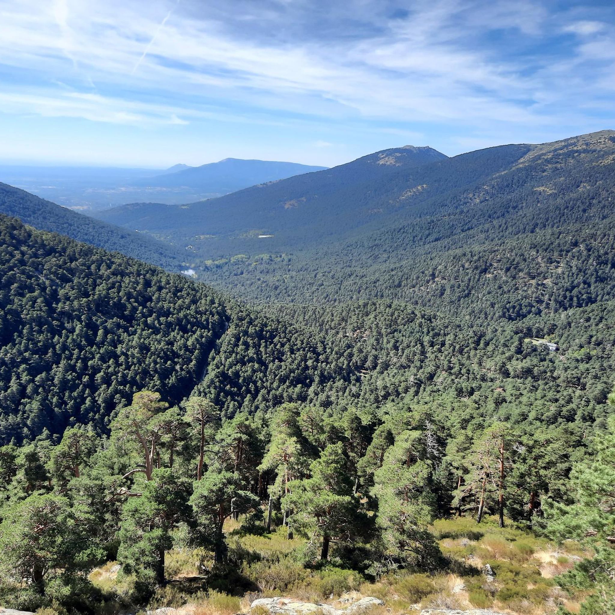
Hiking around Tabanera La Luenga offers diverse landscapes for outdoor activities. The region features a varied topography with rolling hills, open plains, forests, and river valleys. It is situated near mountainous regions like the Sierra de Guadarrama, providing access to more challenging experiences. The area also includes natural parks such as the Hoces del Río Riaza, which present unique geological formations.
Best hiking trails around Tabanera La Luenga
- The most popular hiking route is Carbonero el Mayor and Río Pirón…
Last updated: July 6, 2026
1
hikers
16.6km
04:19
110m
110m
Moderate hike. Good fitness required. Easily-accessible paths. Suitable for all skill levels.
4
hikers
3.20km
00:49
10m
10m
Easy hike. Great for any fitness level. Easily-accessible paths. Suitable for all skill levels.

Sign up for free
4.0
(1)
2
hikers
15.5km
04:13
220m
220m
Moderate hike. Good fitness required. Easily-accessible paths. Suitable for all skill levels.
2
hikers
5.91km
01:33
50m
50m
Easy hike. Great for any fitness level. Easily-accessible paths. Suitable for all skill levels.
2
hikers
3.09km
00:49
30m
30m
Easy hike. Great for any fitness level. Easily-accessible paths. Suitable for all skill levels.
Our route recommendations are based on thousands of hikes, rides, and runs completed by other people on komoot.
Start today with a free account
Your next adventure awaits.
Login or Signup

Tips from the Community

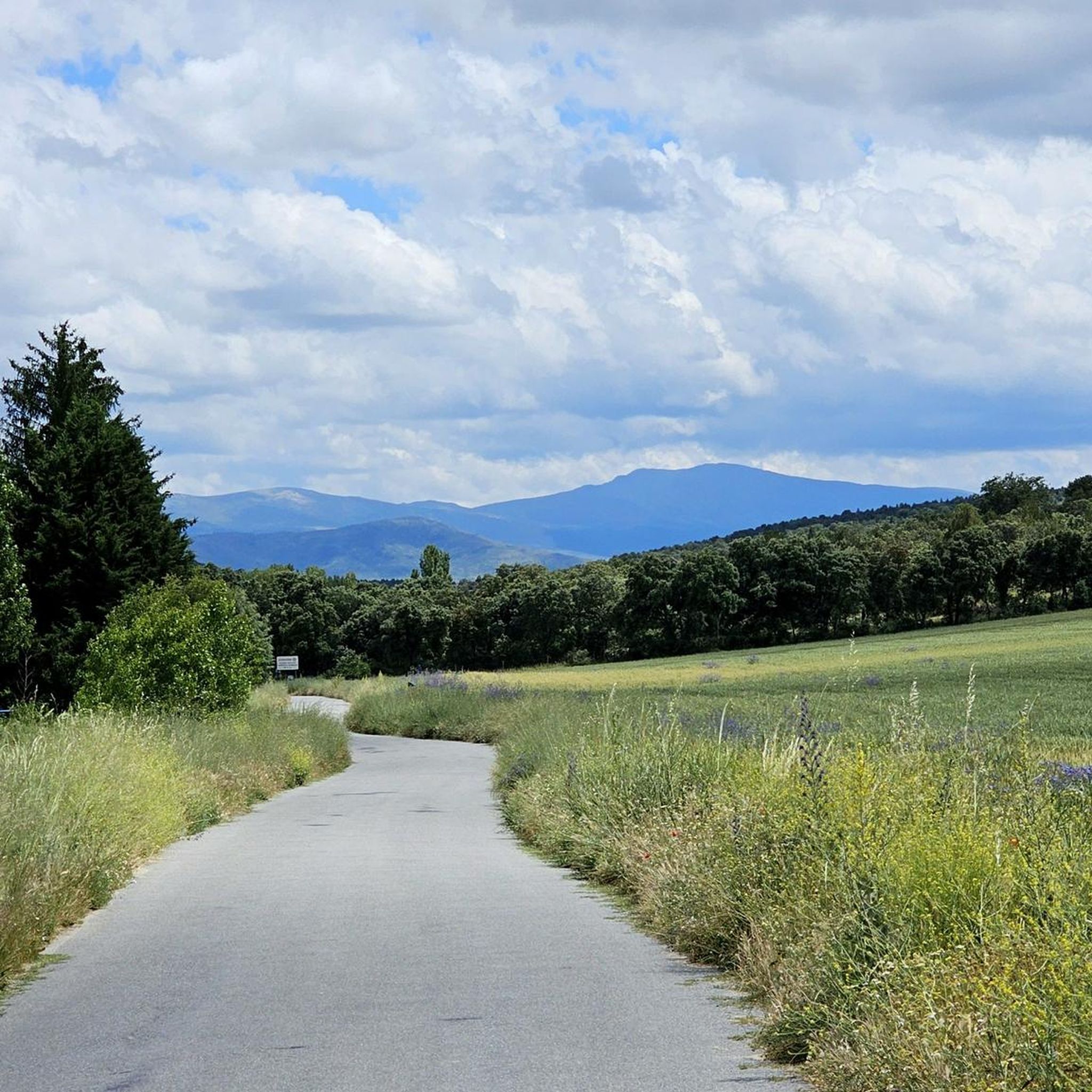
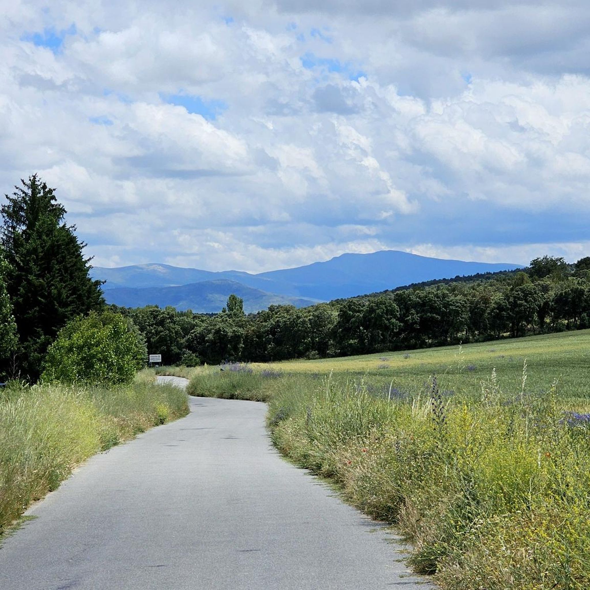
Carbonero el Mayor is a municipality and Spanish town in the province of Segovia, in the southern part of the autonomous community of Castilla y León. It appears cited in 1247 under the name Carbonero de Liedos; In 1587 it was mentioned as Carbonero la Mayor and in the 19th century it already appeared with its current name.
4
0

Carbonero el Mayor is a town located north of the city of Segovia, in the middle of the plain that goes from the Central System and the great plains of Valladolid.
1
0
With care we can cross the Pirón River through this ford.
10
0
Frequently Asked Questions
How many hiking trails are available around Tabanera La Luenga?
There are currently 6 hiking routes listed around Tabanera La Luenga, offering a variety of experiences from easy strolls to more moderate treks through the diverse landscapes of the region.
What kind of terrain can I expect on hikes near Tabanera La Luenga?
The region around Tabanera La Luenga features a diverse topography, including rolling hills, expansive plains, wooded areas, and river valleys. You'll find a mix of open countryside and paths alongside natural features, providing varied scenery for your hike.
Are there any easy, family-friendly hikes in the area?
Yes, there are several easy routes suitable for families. A great option is the Puente viejo loop from Mozoncillo, which is just over 3 km long with minimal elevation gain. Another gentle choice is the Laguna de Constanzana loop from Callejón del Valle, also around 3 km.
Are there any circular walks available around Tabanera La Luenga?
Many of the routes in the area are circular, allowing you to start and end in the same location. Examples include the Carbonero el Mayor and Río Pirón Loop, a moderate 16.6 km trail, and the shorter, easy Carbonero el Mayor loop from Carbonero el Mayor.
What are some interesting landmarks or points of interest to see while hiking?
The area offers several points of interest. You might encounter historical sites like the Old Yanguas de Eresma Station or the Ortigosa del Pestaño — Abandoned Railway Station. For a glimpse into local heritage, consider visiting the Ermita de Las Vegas or the Domingo García Outdoor Rock Art Site.
What is the best time of year to go hiking in Tabanera La Luenga?
The varied terrain of Tabanera La Luenga makes it suitable for hiking across multiple seasons. Spring and autumn generally offer pleasant temperatures and vibrant landscapes. Summer can be warm, making early morning or late afternoon hikes ideal, while winter offers a different, often quieter, experience, especially in the open plains.
Are there any longer, more challenging hikes for experienced trekkers?
While there are no 'difficult' graded routes directly listed, more experienced hikers can enjoy the moderate trails that offer greater distances and some elevation. The Carbonero el Mayor and Río Pirón Loop covers over 16 km, and the Cueva de la Vaquera (sur) – Casa de Condesa loop from Cabañas de Polendos is a 15.5 km route with over 220 meters of ascent, providing a good workout.
What do other hikers say about the trails in Tabanera La Luenga?
The komoot community highly rates the hiking experiences around Tabanera La Luenga, with an average score of 4.0 stars. Hikers often appreciate the peaceful rural landscapes, the varied scenery of plains and river valleys, and the accessibility of the trails for different fitness levels.
Is Tabanera La Luenga close to any larger natural parks or mountain ranges?
Yes, Tabanera La Luenga is situated within reach of significant natural features. It's near mountainous regions like the Sierra de Guadarrama, which offers more challenging, elevation-rich hiking experiences. The dramatic ravines of the Hoces del Río Riaza Natural Park and the Hoces del Río Duratón Natural Park are also accessible, providing unique geological formations and ecological interest.
Are there any facilities or rest areas along the hiking trails?
While specific facilities vary by route, you might find amenities such as the Miguel Ibáñez Rest Area and Fountain, which can be a convenient stop during your hike. It's always advisable to carry sufficient water and snacks, especially on longer routes.
Most popular attractions around Tabanera La Luenga

Get inspired with the komoot mobile app


Explore more
Browse the best Hikes in other regions.
