The best cycling routes around Grajal De Campos
4.0
(2)
67
riders
6
rides
Touring cycling around Grajal De Campos is characterized by its flat to gently rolling terrain, often following river valleys and agricultural plains. The region features historic towns and rural landscapes, with routes that frequently incorporate sections of pilgrim paths. These paths provide a mix of paved and gravel surfaces, suitable for touring bikes.
Best touring cycling routes around Grajal De Campos
- The most popular touring cycling route is Ribera del Cea Loop from Sahagún, a 29.8 miles (47.9 km) moderate trail that takes 2 hours 52 minutes to complete, offering views along the Cea river.
- Another top favourite among local touring cyclists is Sahagún, Grajal de Campos, and Moratinos Loop, a moderate 20.5 miles (33.0 km) path that connects several historic towns.
- Local touring cyclists also love the Ledigos – Pilgrims' hostel loop from Moratinos, a 23.3 miles (37.5 km) trail leading through rural landscapes and pilgrim routes, often completed in about 2 hours 34 minutes.
- Touring cycling around Grajal De Campos is defined by river valleys, agricultural plains, and historic pilgrim paths. The network offers options for varied ability levels, including moderate and more challenging routes.
- The routes in Grajal De Campos are highly rated by the komoot community with an average score of 4.0 stars from over 6 reviews. More than 70 touring cyclists have used komoot to explore Grajal De Campos's varied terrain.
Last updated: August 16, 2026
1
riders
47.9km
02:52
230m
230m
Moderate bike ride. Good fitness required. Mostly paved surfaces. Suitable for all skill levels.
33.0km
02:11
210m
210m
Moderate bike ride. Good fitness required. Mostly paved surfaces. Suitable for all skill levels.

Sign up for free
4.0
(2)
42
riders
37.6km
02:35
310m
310m
Moderate bike ride. Good fitness required. Mostly paved surfaces. Suitable for all skill levels.
20
riders
Easy bike ride. Great for any fitness level. Mostly paved surfaces. Suitable for all skill levels.
3
riders
50.1km
04:12
240m
240m
Moderate bike ride. Good fitness required. Mostly paved surfaces. Suitable for all skill levels.
Our route recommendations are based on thousands of hikes, rides, and runs completed by other people on komoot.
Start today with a free account
Your next adventure awaits.
Login or Signup

Tips from the Community

It's always nice to see how far it is, or where you have to walk/drive.
1
0
A beautiful and well-designed mural of a pilgrim on the way to Santiago.
1
0

Ledigos, in the province of Palencia, is a small town with about 60 inhabitants, located on the French Way of St. James, between Calzadilla de la Cueza and Terradillos de los Templarios. Its history, architecture, and natural surroundings make it an interesting stop for pilgrims and travelers.
1
0

nice picture
3
0

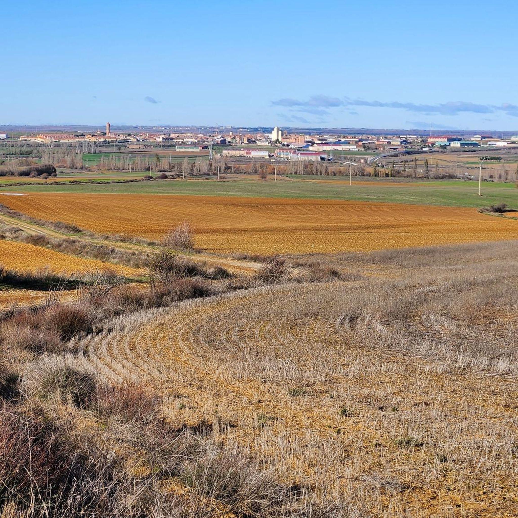
“From gentle rural tracks, you reach this imposing 16th-century artillery fortress. It has a square layout with towers and sloping walls; it preserves loopholes, spiral staircases, and a complete structure. A perfect stop with cultural interest and beautiful panoramic views of Tierra de Campos.” Add this stop to short circular routes (~30 km). Comfortable terrain, good terrain for riding, and stress-free. It fits perfectly with the other stops: Lancia, Torre Almanza, and Ermita Virgen de la Guía.
0
0

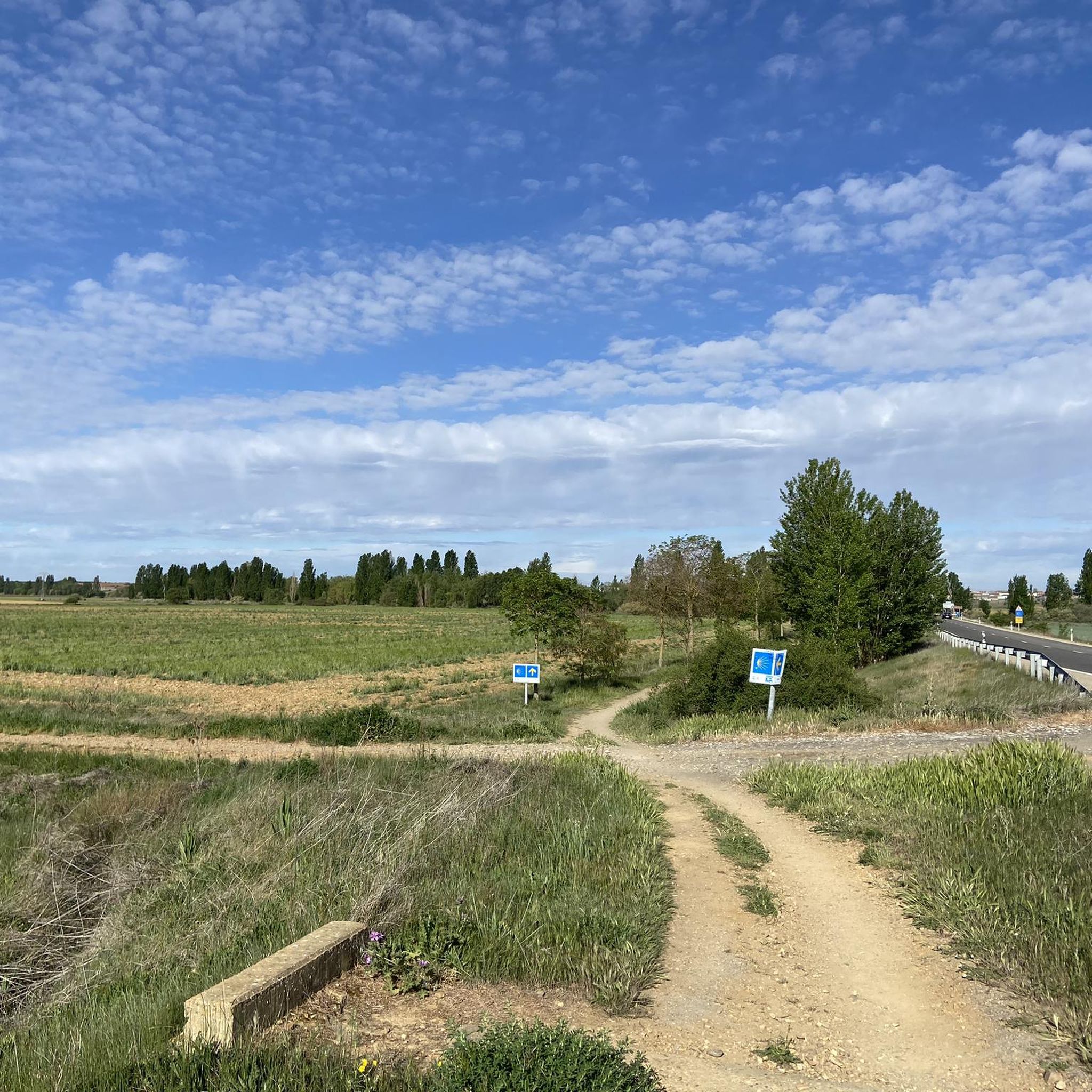
On the approximately 800-kilometer route through northern Spain – perhaps even earlier in France – the pilgrim has repeatedly crossed borders that may have had significant significance in the past, and some still do today from a regional-political perspective. However, for us, who are striving toward the tomb of the Apostle James, the "Credencial" was the only important identification document, and pilgrimage routes – like the heavens – have always been borderless.
1
0
Frequently Asked Questions
What kind of terrain can I expect on touring bike routes in Grajal De Campos?
The touring cycling routes around Grajal De Campos feature flat to gently rolling terrain, often following river valleys and agricultural plains. You'll encounter a mix of paved roads and gravel surfaces, particularly along sections of the historic pilgrim paths.
How challenging are the touring cycling routes in this region?
The routes around Grajal De Campos are primarily moderate, offering a good balance for most touring cyclists. There is also one more challenging option for those seeking a longer ride, such as the Via Aquitana Gravel Road – Monastery of San Zoilo loop from Población de Arroyo, which covers nearly 85 km.
Are there any touring cycling routes suitable for families or beginners?
While there are no routes specifically designated as 'easy' in our current selection, the moderate routes, such as the Sahagún, Grajal de Campos, and Moratinos Loop (33 km), offer relatively gentle gradients. Families with some cycling experience or beginners looking for a longer ride might find these enjoyable, especially given the generally flat nature of the region.
What is the typical distance range for touring bike routes in Grajal De Campos?
The touring cycling routes in Grajal De Campos generally range from approximately 33 km to 85 km. For instance, the Sahagún, Grajal de Campos, and Moratinos Loop is about 33 km, while the Via Aquitana Gravel Road – Monastery of San Zoilo loop from Población de Arroyo extends to nearly 85 km.
Are there any circular touring cycling routes available?
Yes, all the touring cycling routes listed for Grajal De Campos are designed as loops, allowing you to start and finish at the same point. Examples include the Ribera del Cea Loop from Sahagún and the Ledigos – Pilgrims' hostel loop from Moratinos.
What historical sites or landmarks can I see along the touring cycling routes?
The region is rich in history, especially along the pilgrim paths. You can explore sites such as the Geographical Center of the Camino Francés – Ermita de la Virgen del Puente, the San Benito Arch and Ruins of the Monastery of San Benito, or the unique Bodegas de Moratinos. Many routes connect these historic towns and rural landscapes.
When is the best time of year to go touring cycling in Grajal De Campos?
Given the region's agricultural plains and Spanish climate, spring (April-May) and autumn (September-October) are generally the most pleasant times for touring cycling. Temperatures are milder, and the landscapes are vibrant. Summers can be hot, and winters can be chilly, though cycling is possible year-round with appropriate gear.
Are there opportunities to stop for refreshments or food along the routes?
Many routes connect historic towns and villages, such as Sahagún, Grajal de Campos, and Moratinos. These towns typically offer cafes, restaurants, and shops where you can stop for refreshments, especially in the larger centers like Sahagún. The Sahagún, Grajal de Campos, and Moratinos Loop is a good example of a route passing through multiple settlements.
What do other touring cyclists say about the routes in Grajal De Campos?
The touring cycling routes in Grajal De Campos are highly rated by the komoot community, with an average score of 4.0 stars. Cyclists often praise the peaceful rural landscapes, the historical context of the pilgrim paths, and the well-maintained surfaces suitable for touring bikes.
Is there public transport access to the starting points of these touring cycling routes?
Grajal De Campos and nearby towns like Sahagún are generally accessible by regional bus services or train, which can connect you to larger cities. It's advisable to check local transport schedules and bike carriage policies in advance, as options may vary depending on the specific starting point of your chosen route.
Where can I park my car if I drive to the starting points of the routes?
In most towns and villages that serve as starting points for these routes, such as Sahagún or Moratinos, you will typically find public parking areas. These are often located near the town centers or main attractions. Always look for designated parking signs and be mindful of local regulations.
Are there any routes that offer views of the Cea river?
Yes, the Ribera del Cea Loop from Sahagún is specifically designed to offer scenic views along the Cea river, providing a pleasant experience through the river valley.
Most popular attractions around Grajal De Campos

Get inspired with the komoot mobile app


Explore more
Browse the best Cycling routes in other regions.
