Top 15 Mountain Passes around Valstagna
Best mountain passes around Valstagna offer challenging and historically significant routes through mountainous terrain. The region features diverse landscapes, from the Brenta Valley to the Asiago Plateau, providing experiences for hiking and cycling. These routes are characterized by significant elevation changes and historical context, showcasing the area's natural beauty and past. Valstagna's mountain trails provide panoramic views and opportunities for physical activity.
Best mountain passes around Valstagna
- The most popular mountain passes is Valstagna–Foza Climb, a climb that features…
Last updated: August 19, 2026
Cima di Campo
Highlight • Summit
Translated by Google •
Tip by

Foza–Valstagna Hairpin Road
Highlight (Segment) • Mountain Pass
Little traffic, partly beautiful views.
From Valstagna to Foza to the Sette Comuni, the Asiago plateau.
More information: de.wikipedia.org/wiki/Sieben_Gemeinden_(Italien)
Translated by Google •
Tip by

Sign up now to discover places like this
Get recommendations on the best single tracks, peaks, & plenty of other exciting outdoor places.
Sign up for free
Primolano Steps and Tagliata Fortification
Highlight (Segment) • Historical Site
Translated by Google •
Tip by

Col d'Astiago
Highlight • Mountain Pass
Translated by Google •
Tip by

Valstagna–Foza Climb
Highlight (Segment) • Climb
Translated by Google •
Tip by

Sign up for free to discover even more mountain passes around Valstagna.
Sign up for free
Already have an account?
Start today with a free account
Your next adventure awaits.
Login or Signup
Popular around Valstagna
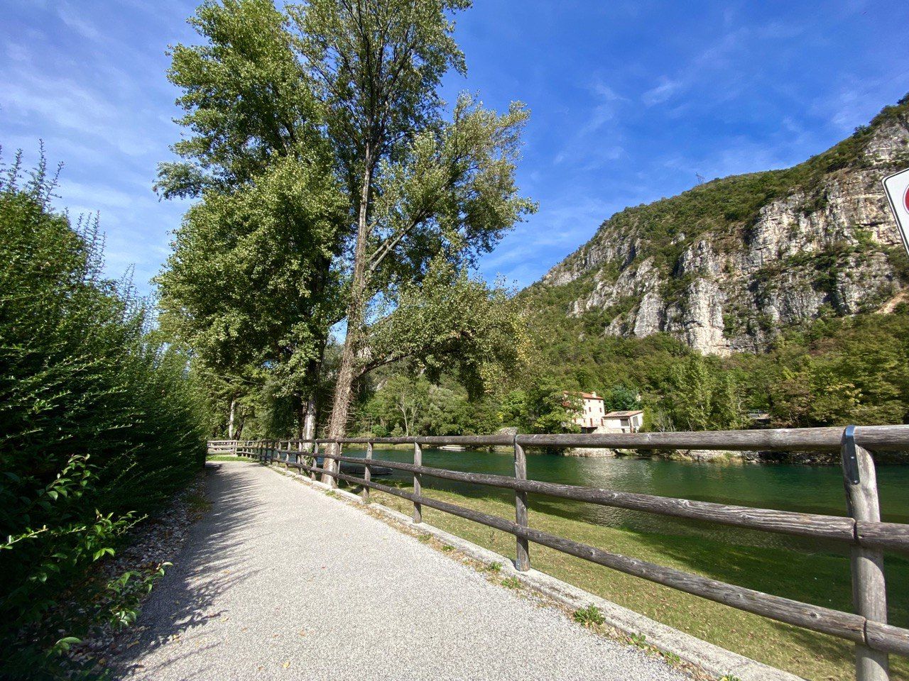
Cycle along Italy’s Brenta river – Brenta Cycle Route
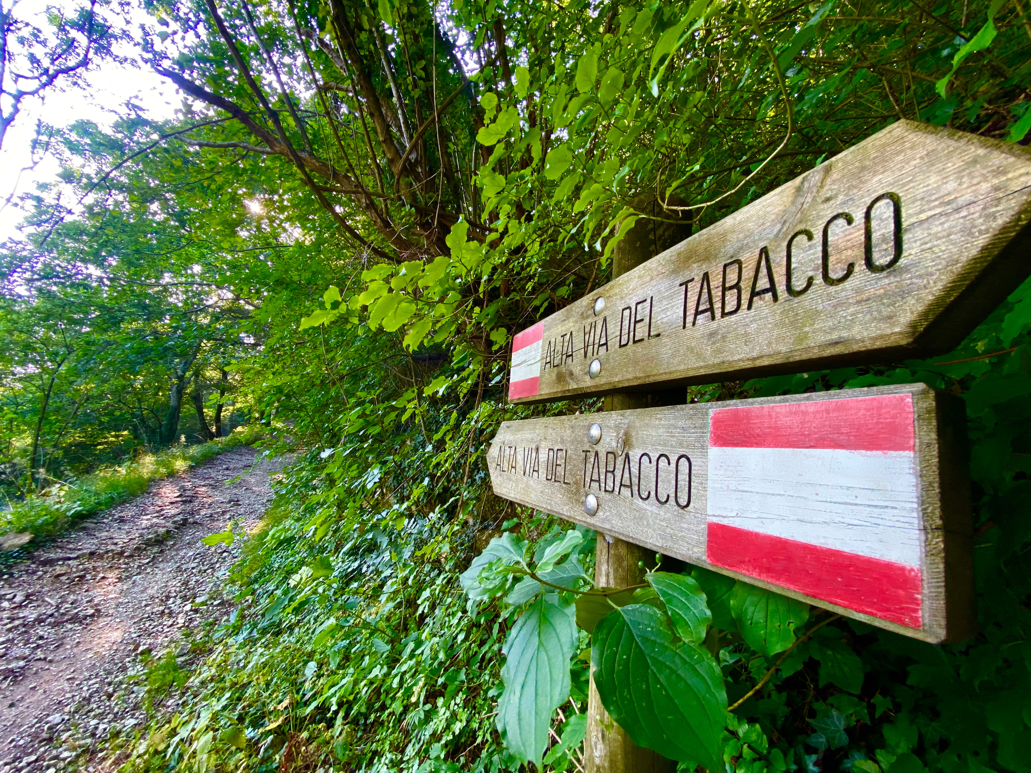
Hike an old smugglers’ road – Alta Via del Tabacco
Hiking around Valstagna
Road Cycling Routes around Valstagna
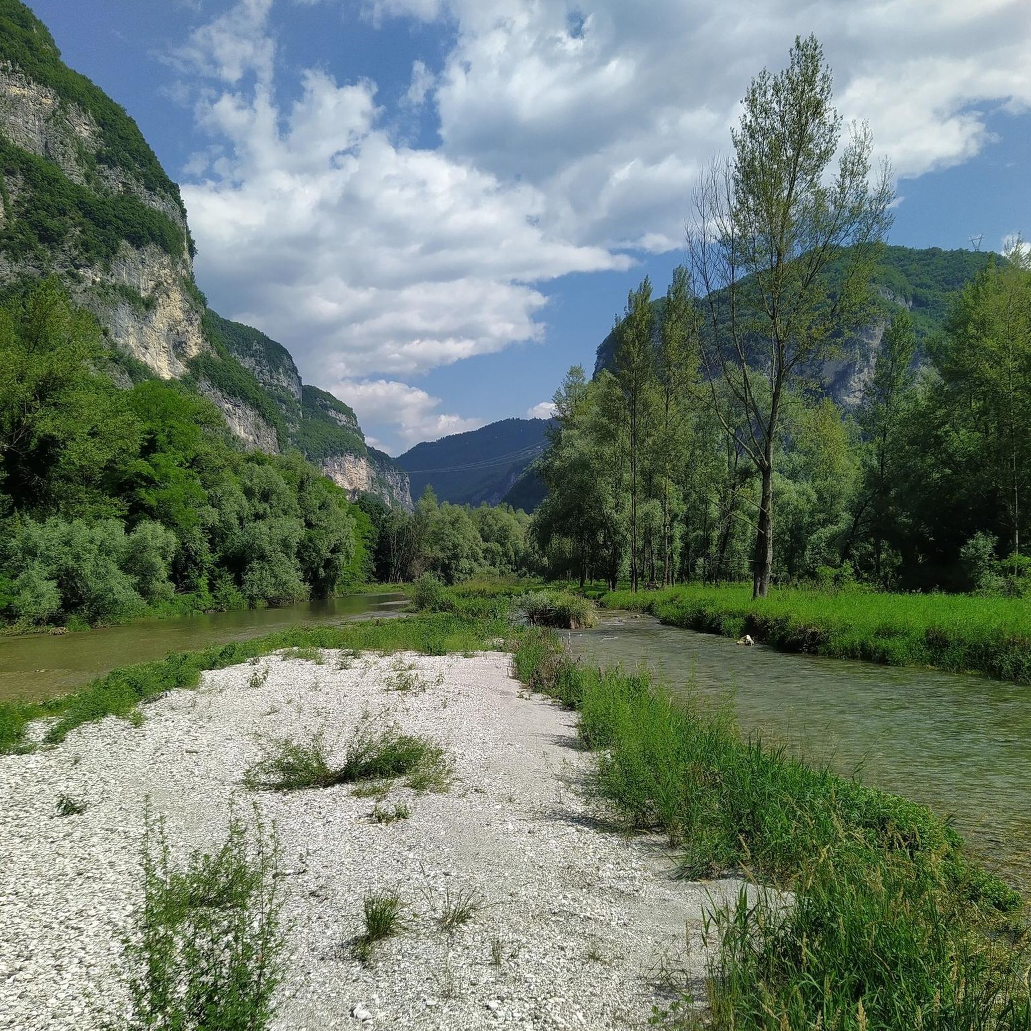
MTB Trails around Valstagna
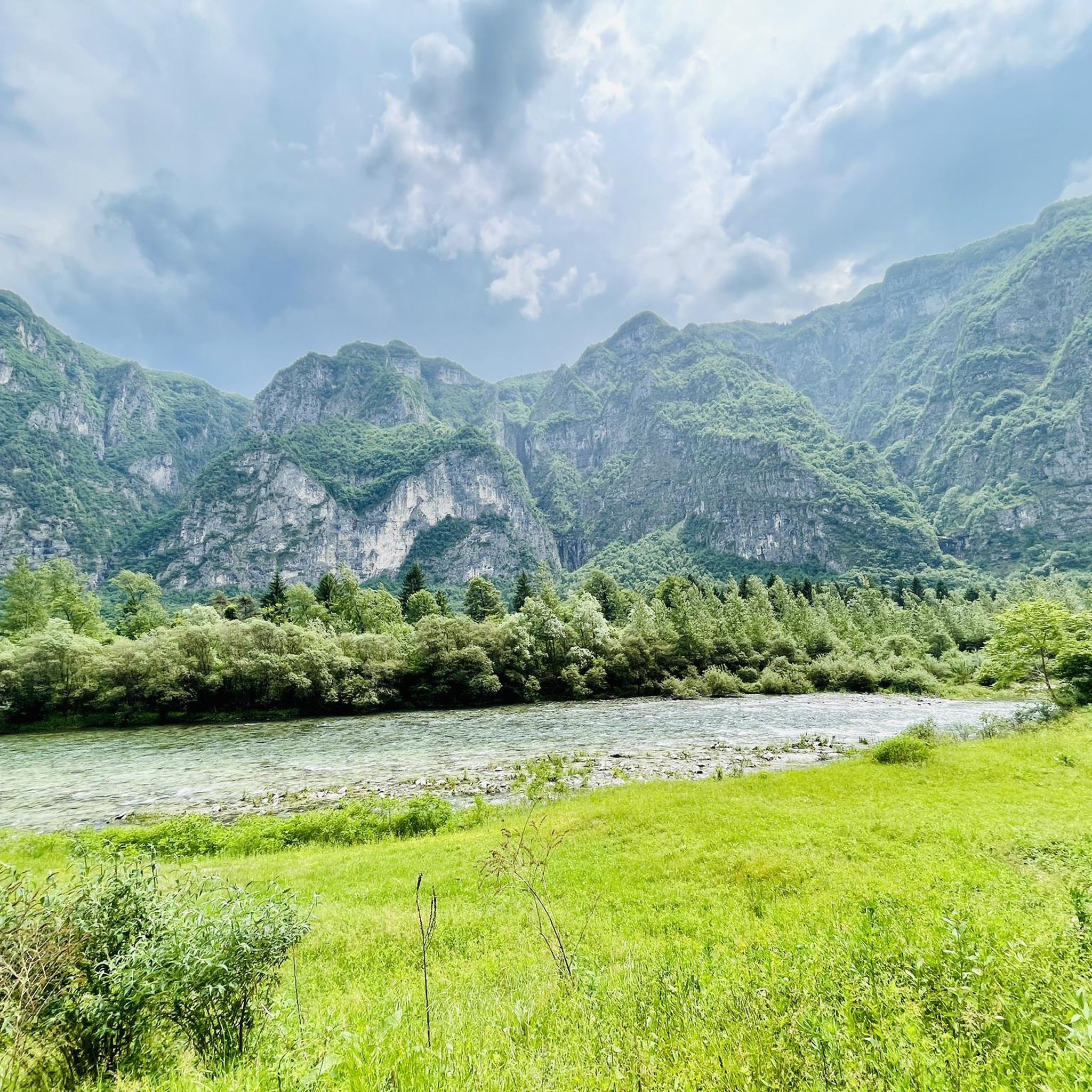
Cycling around Valstagna
Gravel biking around Valstagna
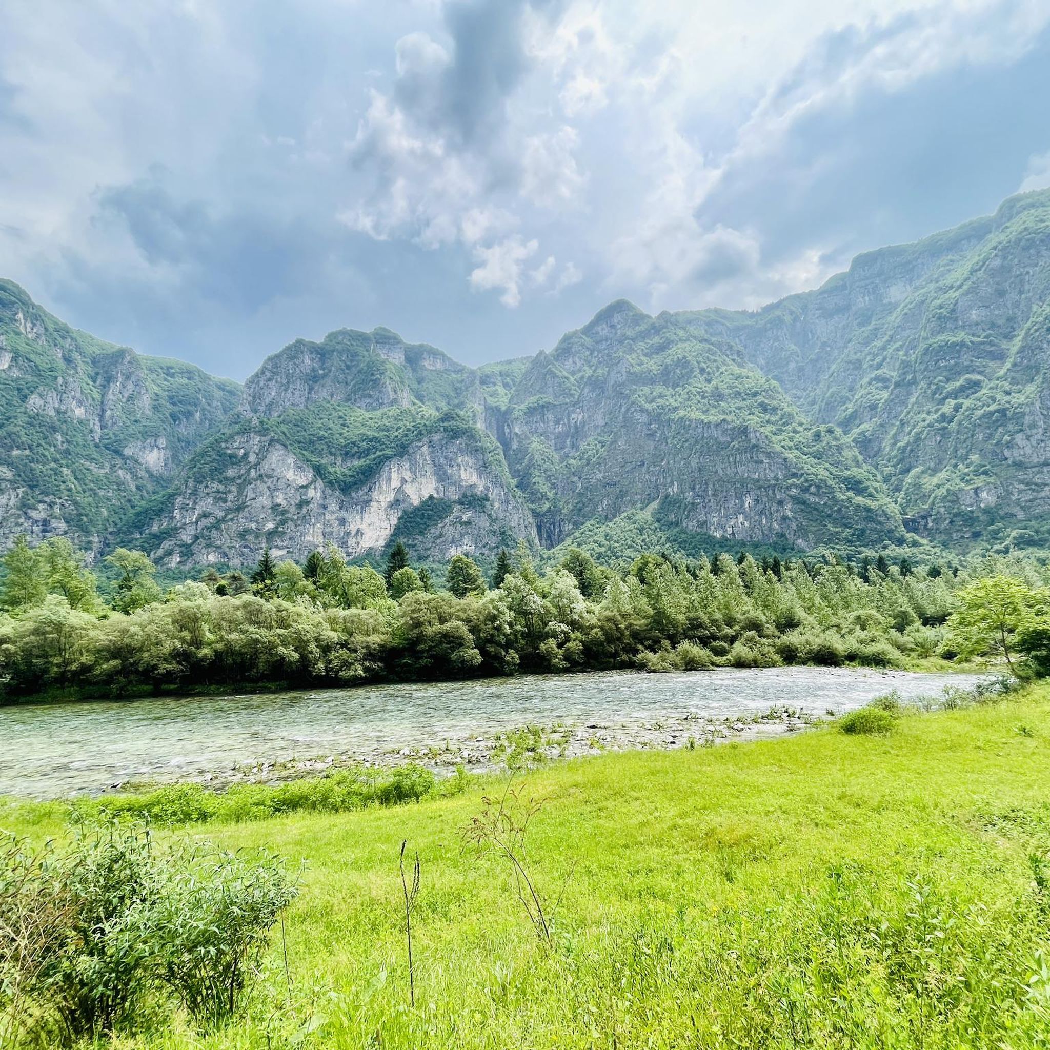
Running Trails around Valstagna

Mountain Hikes around Valstagna

Tips from the Community

Cima di Campo (1,425–1,512 m) in Arsiè is a well-known mountain and alpine pass in the Belluno Dolomites, famous for its cycling climb, the Forte Leone from World War I, and hiking routes. Length: Approximately 18.5 km starting from the center of Arsiè. Elevation gain and Gradient: 1,111 meters of elevation gain with an average gradient of 6% and double-digit peaks in the initial sections towards Mellame and Col Perer. Famous for being the first iconic climb of the Dolomiti Bellunesi cycling granfondo. Forte Leone: A large armored military fortress built between 1906 and 1912 to defend the border, currently undergoing renovation.
1
0

Col d'Asiago offers a beautiful and privileged panoramic point on the underlying Canale del Brenta, or the narrow and deep terminal part of Valsugana. But the view extends over the Asiago Plateau and the entire skyline of mountains that border it to the north, the Grappa Massif to the east and the mouth of Val Brenta. In the distance, the Piccole Dolomiti, the Pale di San Martino and the Vette Feltrine. Precisely because of its strategic position, during the First World War it was a strongly armed Italian defensive bastion and decisive in various phases of the conflict. The peak is also known locally by the ancient and dialect toponym 'Col del S-ciavo', dating back to the time of the Serenissima: on the slopes of the hill in fact the 'schiavoni' (i.e. the non-Latin inhabitants of the dominions of Dalmatia and the Venetian hinterland) cut wood for the naval fleet; the trunks (especially beech trees) were lowered down the valley through the famous and nearby Calà del Sasso; they were then loaded onto rafts that went down the entire Brenta, until they reached the lagoon and the Arsenale of Venice. A large concrete cistern dominates the summit, collecting the water pumped from the Oliero Caves, 1000m further downstream, and distributing it to the Plateau.
0
0

When you climb to Cima Campo the feeling is of being in a Swiss valley, so much order and peace...
1
0

... with its EIGHT hairpin bends ;-)
3
0

Thurs. October 12th '23 a car rally will be held on the public road that is not (!) closed. For the. For a long time I couldn't tell what was going on - until I noticed the folding chairs with the marshals... If available, the center line is the benchmark for the drivers and the hairpin bends are preferably driven on the inside: Have fun descending into the right-hand bends - there are always a few 'surprises'. I saw 2 Carabinieri vehicles on the way without any apparent surveillance activity - a third was taking care of an illegal parker. Well - I definitely won't be doing this (very nice) lap on this date again.
0
1

Col d'Astiago is located in the south-eastern sector of the Asiago plateau. Wide panorama of the Brenta and towards Monte Grappa. Here is the pumping station of the aqueduct that brings water from the Oliero caves to the plateau.
3
0

Ascent with little traffic and almost entirely in the woods, it almost never presents breathtaking views but it is famous for being the first ascent of the Sportful Dolomiti Race. From the Arsiè side, the one tackled uphill by the granfondo, it is 18.6 kilometers long and has an average gradient of 6%.
3
0

top of the field, brow and then descent. Initially fast and comfortable descent, then technical
2
0
Frequently Asked Questions
What are some of the most challenging mountain routes around Valstagna?
Valstagna offers several challenging routes. The Valstagna–Foza Climb is a popular and demanding cycling route with 20 hairpin bends and an average gradient of 6.7%, peaking at 11%. For hikers, the historic Calà del Sasso – The 4,444 Steps Trail is a 7.1 km ascent with 4,444 carved steps, offering a significant physical test. The route from Oliero to Col d'Astiago WWI Tunnels (via CAI 771) is another difficult 10.5 km path with sweeping views and historical exploration.
Where can I find the best panoramic views along these routes?
For breathtaking vistas, Col d'Astiago offers a wide panorama of the Brenta Valley and towards Monte Grappa. The Foza–Valstagna Hairpin Road also provides beautiful views as it connects Valstagna to the Asiago plateau. Additionally, the Alta Via del Tabacco offers extensive panoramic views of the Brenta River valley.
What historical sites can I explore along Valstagna's mountain routes?
The region is rich in history. The Primolano Steps and Tagliata Fortification feature a series of hairpin bends and a 19th-century fortification. Col d'Astiago is a significant historical site, having been a strongly armed Italian defensive bastion during WWI. The route from Oliero to Col d'Astiago WWI Tunnels leads to historic WWI tunnels, and the Calà del Sasso is an ancient route used by timber traders.
When is the best time of year to visit the mountain routes around Valstagna?
The best time to visit is generally from spring through autumn. During these seasons, the weather is more favorable for hiking and cycling. In winter, higher elevations can experience colder temperatures and snow, making some routes more challenging or inaccessible, though some may offer unique winter hiking experiences if properly equipped.
Are there family-friendly options among Valstagna's mountain routes?
While many routes are challenging, some sections or alternative trails might be suitable for families. For example, the Alta Via del Tabacco is divided into three manageable sections, some of which might be suitable for various hiking levels. For cycling, the Valsugana Cycle Path offers a more accessible option for families near the Brenta Valley.
Can I bring my dog on these trails?
Generally, dogs are welcome on many outdoor trails in the Valstagna area, but it's always best to keep them on a leash, especially in nature reserves or areas with livestock. Be mindful of other hikers and cyclists, and ensure you carry enough water for your dog, particularly on longer or more exposed routes.
What other outdoor activities can I do near Valstagna's mountain routes?
Beyond exploring mountain routes, Valstagna offers diverse outdoor activities. You can find numerous hiking trails, including the dramatic Valgadena Gorge Trail to Stoner Village. For cyclists, there are extensive road cycling routes and gravel biking opportunities, such as the Brenta Cycle Path.
How accessible are these mountain routes by public transport or car?
Access varies by route. Valstagna itself is reachable by public transport. For specific trailheads like Calà del Sasso, parking is available nearby. However, for more remote routes, a car might offer greater flexibility. Always check local transport schedules and parking availability for your chosen starting point.
Are there places to eat or stay near these mountain routes?
Yes, Valstagna and the surrounding towns offer various options for accommodation and dining. In Foza, after the challenging Valstagna–Foza Climb, you can find places like the Monte Fior hotel restaurant for refreshments. Along other routes, you might encounter small villages or refuges, but it's advisable to carry snacks and water, especially on longer excursions.
What should I wear when exploring the mountain routes?
Given the significant elevation changes and varied terrain, layered clothing is recommended. Sturdy hiking boots are essential for trails like the Calà del Sasso or the WWI Tunnels route. For cyclists, appropriate cycling gear is crucial. Always bring rain gear, even on sunny days, and be prepared for cooler temperatures at higher altitudes, especially in the last part of climbs like the Valstagna–Foza Climb.
Are there any lesser-known mountain routes worth exploring?
The Alta Via del Tabacco is an extensive trail that offers a unique blend of nature and history, showcasing the historical significance of tobacco cultivation and smuggling in the region. It's a less-traveled path that provides panoramic views of the Brenta River valley and a different perspective on the area's heritage.
Can I find circular hiking routes in the Valstagna area?
While specific circular routes are not explicitly detailed for all mountain passes, many trails in the broader Valstagna area can be combined to form circular walks. For instance, the Valgadena Gorge Trail to Stoner Village could potentially be part of a larger loop by connecting with other local paths. It's best to consult detailed maps or local guides to plan circular itineraries.
Most popular routes around Valstagna
Most popular attractions around Valstagna

Get inspired with the komoot mobile app


Explore more
See even more epic mountain passes by checking out these guides around Valstagna:
