The best walks and hikes around Kremenchuk Reservoir
45
hikers
10
hikes
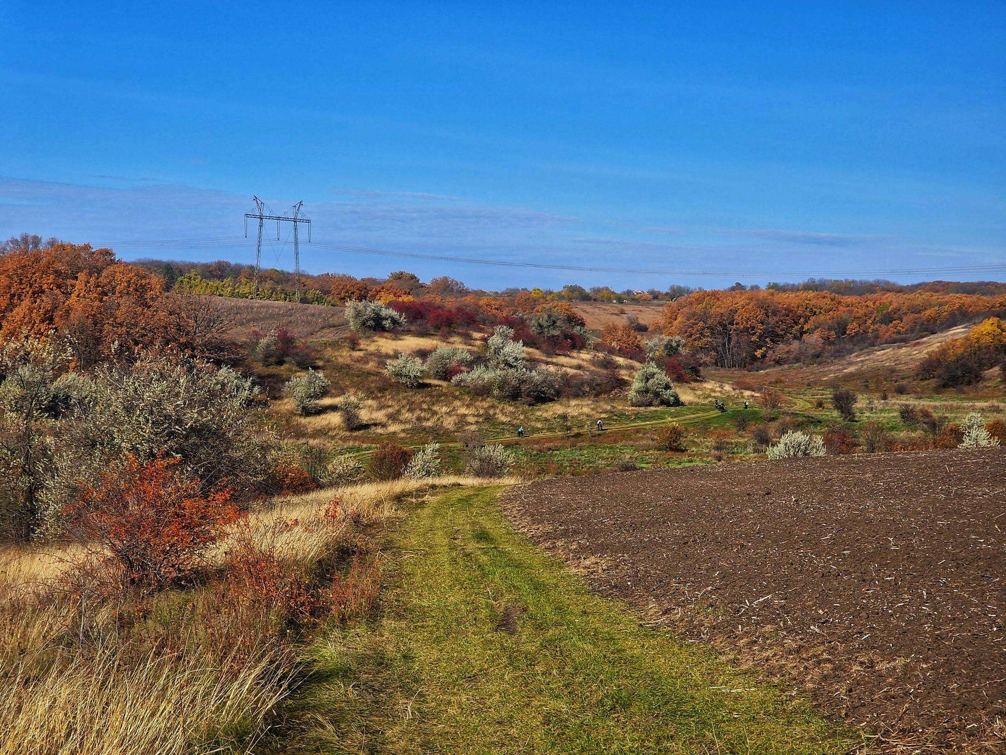
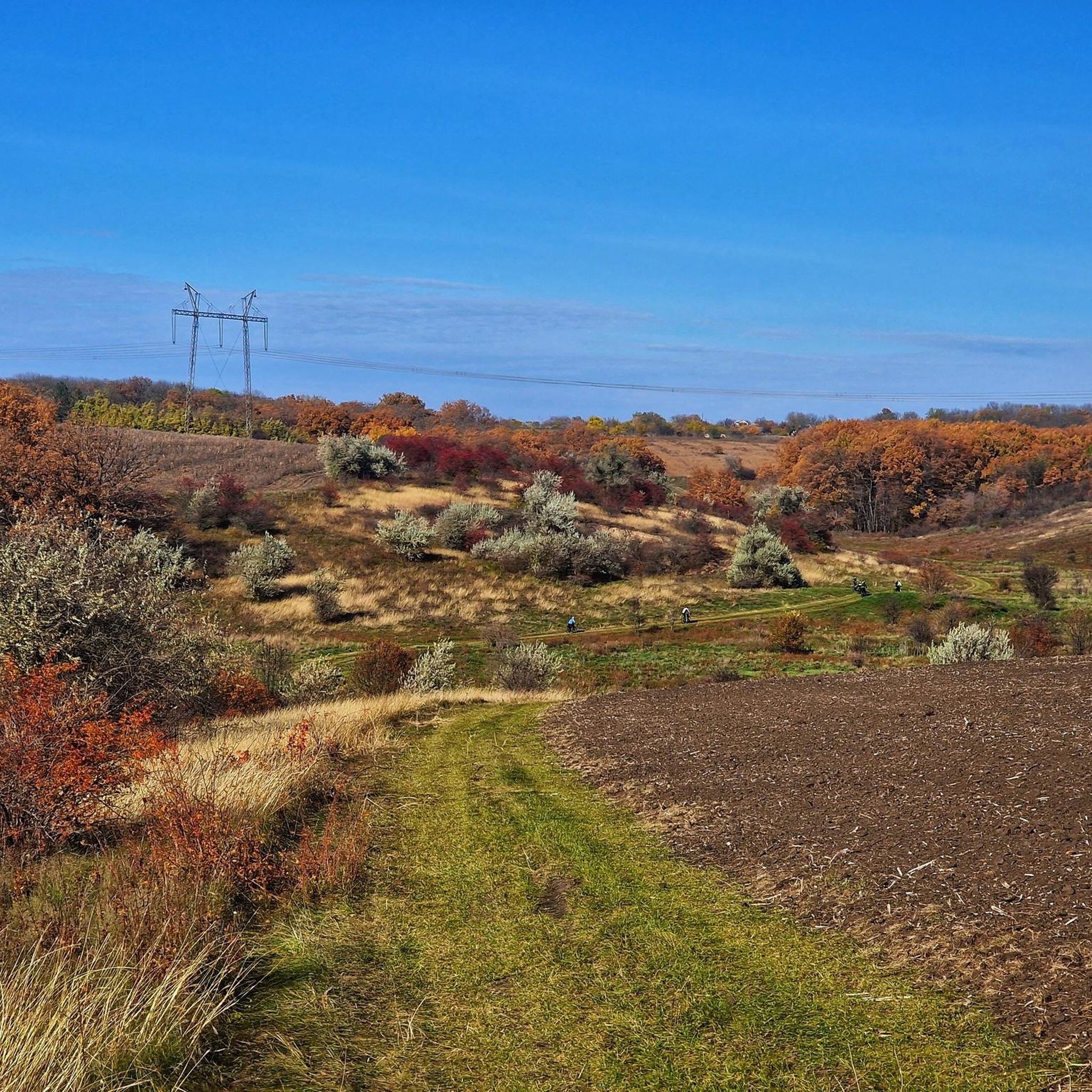
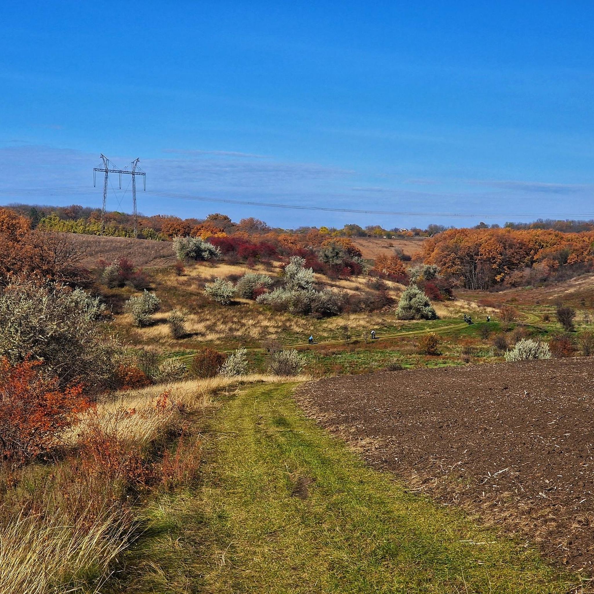
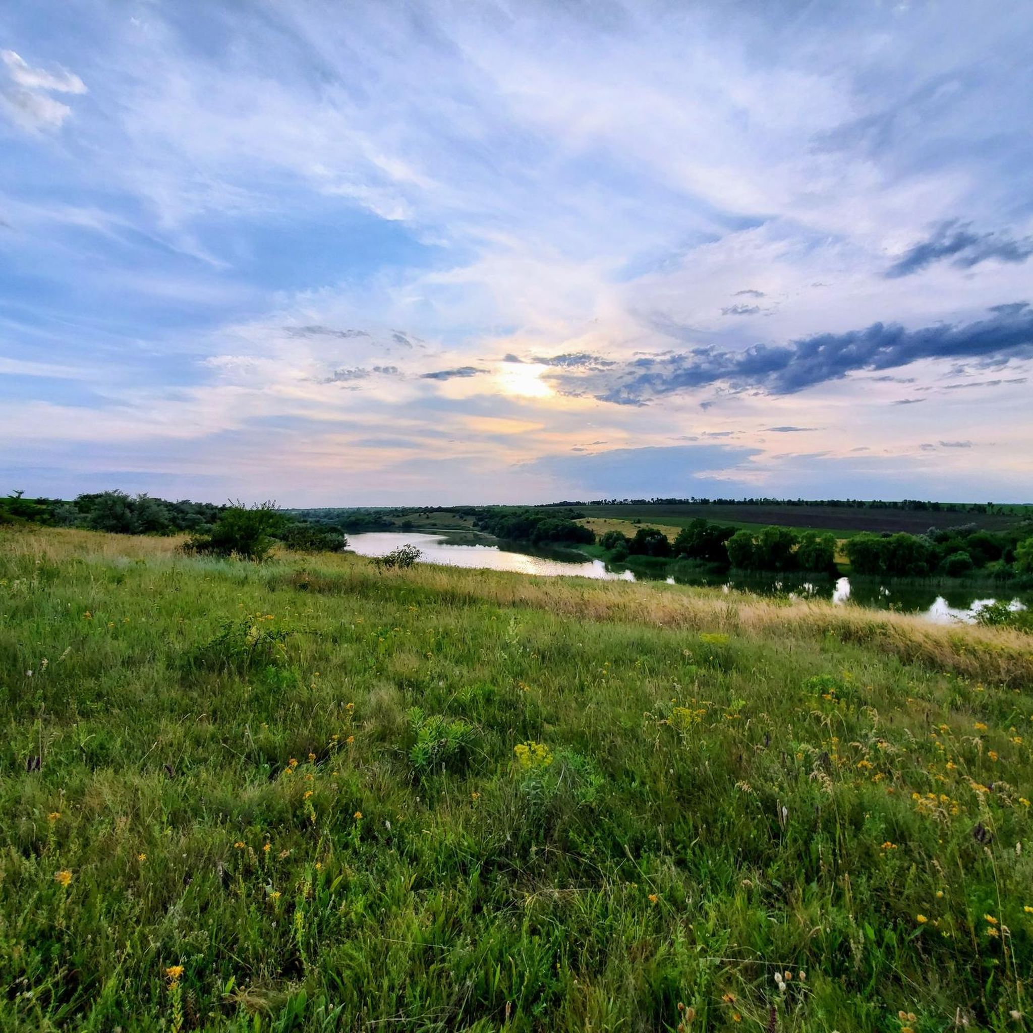
Hiking around Kremenchuk Reservoir offers diverse landscapes along one of the largest reservoirs on the Dnieper River in central Ukraine. The region features a vast water body, the Sula River Delta with its islands, and the elevated perspectives of Pivikha Mountain. This area is characterized by picturesque hilly terrain and forest-steppe landscapes, providing varied vistas for hikers.
Best hiking trails around Kremenchuk Reservoir
- The most popular hiking route is Оглядовий майданчик loop from Cherkasy, a 4.1 miles (6.5 km) trail that takes 1 hour 42 minutes to complete. This easy route offers views from an observation deck.
- Another top favourite among local hikers is Музичний фонтан – П’ятачок loop from Cherkasy, a moderate 5.7 miles (9.1 km) path. This trail explores urban and natural areas around Cherkasy, often completed in about 2 hours 21 minutes.
- Local hikers also love the Оглядовий майданчик – Митницький пляж loop from Cherkasy, a 7.6 miles (12.2 km) trail leading through areas with observation points and beach access, often completed in about 3 hours 10 minutes.
- Hiking around Kremenchuk Reservoir is defined by expansive reservoir views, river delta features, and rolling hills. The network offers options for different ability levels, from easy strolls to moderate excursions.
- The guide includes highly-rated routes that showcase the best of the region's landscape. More than 40 hikers have used komoot to explore Kremenchuk Reservoir's varied terrain.
Last updated: July 1, 2026
12
hikers
6.75km
01:46
50m
50m
Easy hike. Great for any fitness level. Easily-accessible paths. Suitable for all skill levels.
7
hikers
12.2km
03:10
80m
80m
Moderate hike. Good fitness required. Easily-accessible paths. Suitable for all skill levels.

Sign up for free
5
hikers
5.27km
01:22
30m
30m
Easy hike. Great for any fitness level. Easily-accessible paths. Suitable for all skill levels.
2
hikers
7.03km
01:49
40m
40m
Easy hike. Great for any fitness level. Easily-accessible paths. Suitable for all skill levels.
3
hikers
13.6km
03:30
60m
60m
Moderate hike. Good fitness required. Easily-accessible paths. Suitable for all skill levels.
Get access to more routes and recommendations from other explorers.
Sign up for free
Already have an account?
Our route recommendations are based on thousands of hikes, rides, and runs completed by other people on komoot.
Start today with a free account
Your next adventure awaits.
Login or Signup
Popular around Kremenchuk Reservoir
Frequently Asked Questions
How many hiking trails are available around Kremenchuk Reservoir?
There are over 10 hiking routes available around Kremenchuk Reservoir. These trails offer a range of experiences, from easy strolls to more moderate excursions, allowing you to explore the diverse landscapes of the region.
What are the difficulty levels of hikes around Kremenchuk Reservoir?
The hiking trails around Kremenchuk Reservoir cater to various fitness levels. You'll find 8 easy routes, perfect for a relaxed walk, and 3 moderate trails for those seeking a bit more challenge. There are no difficult routes listed in this guide.
Are there any circular hiking routes around Kremenchuk Reservoir?
Yes, many of the trails around Kremenchuk Reservoir are circular, offering convenient starting and ending points. For example, the Оглядовий майданчик loop from Cherkasy is an easy 6.5 km circular route, and the Казбетський пляж – Пляж "Соснівський-1" loop from Cherkasy is another easy option spanning 6.5 km.
What kind of terrain can I expect on hikes near Kremenchuk Reservoir?
Hiking around Kremenchuk Reservoir offers varied terrain. You can expect expansive views across the vast water body, explore areas near the Sula River Delta with its islands and wetlands, and experience the rolling, picturesque hilly terrain, particularly along the Dnipro Hills. Some areas, like Pivikha Mountain, offer elevated perspectives and forest-steppe landscapes.
Are there family-friendly hiking options around Kremenchuk Reservoir?
Absolutely. Many of the 8 easy routes are suitable for families. These trails typically have minimal elevation gain and cover shorter distances, making them ideal for hikers of all ages. The Казбетський пляж loop from Cherkasy, for instance, is an easy 7 km route that families might enjoy.
Are there viewpoints or natural attractions along the trails?
Yes, the region is known for its scenic vistas. Pivikha Mountain (Pyvykha Hill) near Svitlovodsk offers high vantage points with sweeping views of the reservoir, especially beautiful at sunset. The Sula River Delta is also a significant natural feature, rich in biodiversity. Some routes, like the Оглядовий майданчик – Митницький пляж loop from Cherkasy, specifically lead through areas with observation points and beach access.
What kind of wildlife might I see while hiking?
The Sula River Delta, where the Sula River flows into the reservoir, is characterized by numerous islands and wetlands. This area is rich in biodiversity and provides important habitats for various aquatic and bird species. Keep an eye out for different birdlife and other small creatures that thrive in these natural environments.
What are the best times of year for hiking around Kremenchuk Reservoir?
The best times for hiking around Kremenchuk Reservoir are typically spring and autumn when the weather is mild and the natural scenery is vibrant. Spring brings blooming flora, while autumn offers beautiful foliage. Summer can also be pleasant, especially near the water, but be prepared for warmer temperatures. Winter hiking is possible, but conditions can be challenging with snow and ice.
Is parking available for hikers at Kremenchuk Reservoir?
While specific parking facilities for every trailhead are not detailed, areas around towns like Cherkasy, which serve as starting points for many routes, generally offer parking options. It's advisable to check local parking availability near your chosen trailhead before your hike.
How can I reach the hiking trails by public transport?
Many of the listed routes, such as Музичний фонтан – П’ятачок loop from Cherkasy, start from Cherkasy, a city with public transport connections. Depending on your starting point, local buses or marshrutkas (minibuses) might provide access to areas near the reservoir. Planning your route in advance and checking local transport schedules is recommended.
Are there places to eat or drink near the hiking trails?
Given that many trails originate near urban centers like Cherkasy, you will find various cafes, restaurants, and shops to refuel before or after your hike. For trails in more remote areas, it's best to pack your own snacks and drinks.
What should I wear for hiking around Kremenchuk Reservoir?
For hiking around Kremenchuk Reservoir, wear comfortable, layered clothing suitable for the season. Sturdy hiking shoes are recommended, especially for trails with varied terrain. Don't forget sun protection (hat, sunscreen) and insect repellent, particularly during warmer months or near wetlands. Always carry enough water.

Get inspired with the komoot mobile app


