The best walks and hikes in La Mesa De Los Santos
4.3
(6)
49
hikers
3
hikes
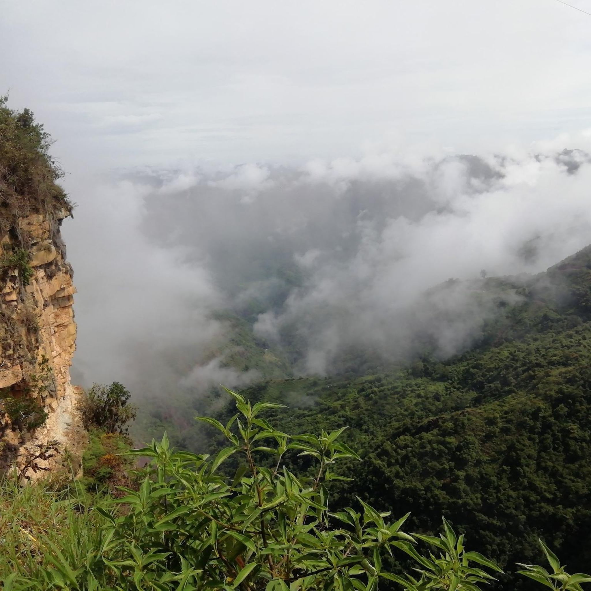
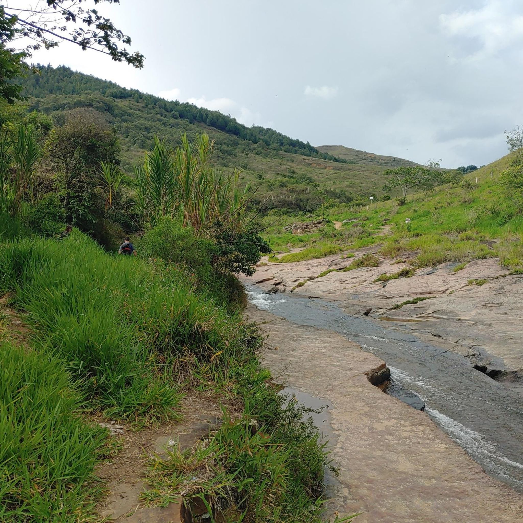
Hiking trails in La Mesa De Los Santos traverse a landscape characterized by varied terrain, including plateaus and areas with significant elevation changes. The region offers a mix of open spaces and more sheltered paths. Many routes feature natural viewpoints overlooking the surrounding countryside.
Best hiking trails in La Mesa De Los Santos
- The most popular hiking route is Caseta de descanso loop from Los Santos, a 6.3 miles (10.2 km) trail that takes about 5 hours 40 minutes…
Last updated: July 15, 2026
4.0
(2)
36
hikers
10.2km
05:40
850m
850m
Hard hike. Very good fitness required. Sure-footedness, sturdy shoes and alpine experience required.
5.0
(2)
2
hikers
14.1km
04:39
630m
630m
Moderate hike. Good fitness required. Easily-accessible paths. Suitable for all skill levels.

Sign up for free
4.0
(2)
6
hikers
16.3km
05:09
660m
660m
Hard hike. Very good fitness required. Easily-accessible paths. Suitable for all skill levels.
5
hikers
10.0km
03:03
360m
360m
Moderate hike. Good fitness required. Easily-accessible paths. Suitable for all skill levels.
2
hikers
5.56km
01:35
130m
140m
Easy hike. Great for any fitness level. Easily-accessible paths. Suitable for all skill levels.
Our route recommendations are based on thousands of hikes, rides, and runs completed by other people on komoot.
Start today with a free account
Your next adventure awaits.
Login or Signup
Popular around La Mesa De Los Santos
Tips from the Community

Can you go down by bike?
0
0
Frequently Asked Questions
What is the general difficulty level of hiking trails in La Mesa De Los Santos?
La Mesa De Los Santos offers a range of hiking difficulties. You'll find trails suitable for various experience levels, from easy walks to more challenging routes with significant elevation changes. For example, the Caseta de descanso loop from Los Santos is considered difficult, while the Fuente San Vicentico loop from Zapatoca is an easy option.
How long do hikes in La Mesa De Los Santos typically take?
Hiking durations vary depending on the trail's length and difficulty. Shorter, easier routes like the Fuente San Vicentico loop from Zapatoca can be completed in about 1 hour 35 minutes. More extensive moderate trails, such as the Hiking loop from Piedecuesta, might take around 4 hours 40 minutes, while difficult routes can extend to over 5 hours.
Are there many circular hiking routes available in La Mesa De Los Santos?
Yes, La Mesa De Los Santos is known for its diverse topography, and many of the popular routes are circular. This allows hikers to experience varied landscapes without retracing their steps. Examples include the Caseta de descanso loop from Los Santos and the Hiking loop from Zapatoca.
Are there family-friendly hiking options in La Mesa De Los Santos?
For families looking for a less strenuous outing, the Fuente San Vicentico loop from Zapatoca is an excellent choice. It's classified as an easy trail, covering 5.5 km with manageable elevation, making it suitable for a pleasant family walk.
Can I bring my dog on the hiking trails in La Mesa De Los Santos?
While specific regulations can vary, many natural areas in La Mesa De Los Santos are generally dog-friendly, especially if your dog is well-behaved and kept on a leash. It's always recommended to check local signage or specific trail guidelines before heading out with your pet.
What kind of elevation changes can I expect on hikes in La Mesa De Los Santos?
The region is characterized by varied terrain, including plateaus and areas with significant elevation changes. You can expect routes with considerable ascents and descents, such as the Caseta de descanso loop from Los Santos, which features over 840 meters of elevation gain, or more moderate climbs like the Hiking loop from Zapatoca with about 368 meters of ascent.
Are there any notable viewpoints or attractions along the hiking routes?
Many routes in La Mesa De Los Santos offer natural viewpoints overlooking the surrounding countryside, providing scenic vistas of the varied topography. While specific attractions are not detailed for every route, the landscape itself is a major draw, with its mix of open spaces and sheltered paths.
What do other hikers say about the trails in La Mesa De Los Santos?
The hiking trails in La Mesa De Los Santos are highly rated by the komoot community, with an average score of 4.3 stars from 6 reviews. Hikers often praise the diverse topography and the opportunity to explore both plateaus and areas with notable elevation changes.
Are there hiking trails suitable for beginners or experienced hikers?
Yes, La Mesa De Los Santos caters to both. Beginners can enjoy easier routes like the Fuente San Vicentico loop from Zapatoca. For more experienced hikers, challenging trails such as the La Cueva Del Nitro loop from Zapatoca offer longer distances and significant elevation gains.
What is the best time of year to go hiking in La Mesa De Los Santos?
The best time to hike in La Mesa De Los Santos generally depends on local weather patterns. It's advisable to check the forecast for comfortable temperatures and dry conditions, as the varied terrain can be more challenging in wet weather. Mornings are often ideal for starting longer hikes.
Is public transport available to reach the hiking trails in La Mesa De Los Santos?
Information on specific public transport links directly to trailheads in La Mesa De Los Santos is limited. It is generally recommended to have private transportation to access many of the hiking starting points, especially for routes that begin outside of main towns.
Where can I find parking for hiking in La Mesa De Los Santos?
Parking availability can vary by trailhead. For routes starting near towns or popular access points, you may find designated parking areas. For more remote trails, roadside parking might be an option. It's always best to plan your route in advance and check for any specific parking instructions or restrictions.
Most popular routes in La Mesa De Los Santos

Get inspired with the komoot mobile app


Explore more
Browse the best Hikes in other regions.
