
The best running trails in Rafael Reyes
5.0
(4)
81
runners
7
runs
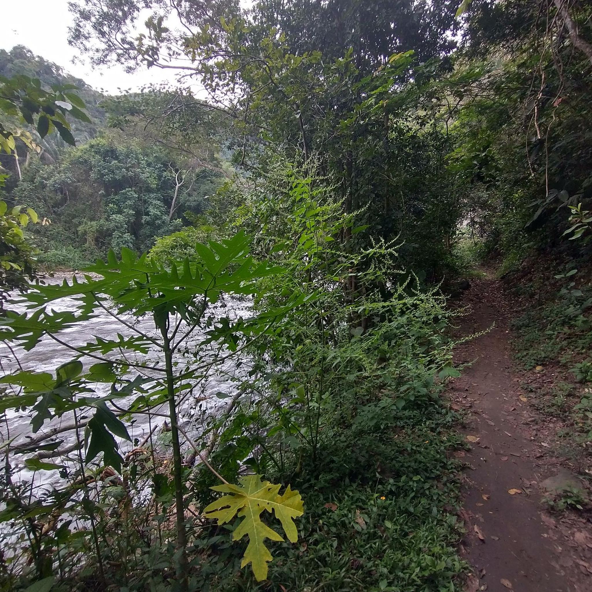
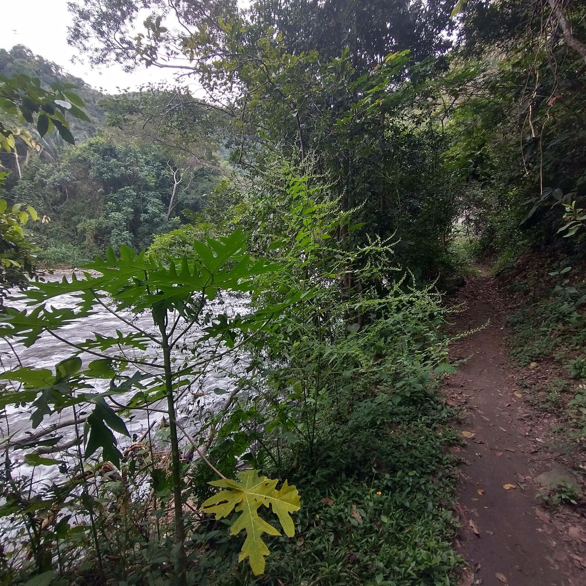
Jogging in Rafael Reyes offers a collection of routes that traverse natural landscapes. The region features varied terrain, with routes often including moderate elevation changes, suggesting a mix of rolling hills and natural areas. These running routes provide opportunities to explore the local environment.
Best jogging routes in Rafael Reyes
- The most popular jogging route is Running loop from Anapoima, a 6.3 miles (10.2 km) trail that takes 1 hour 8 minutes to complete. This moderate route features a…
Last updated: July 10, 2026
5.0
(2)
30
runners
10.2km
01:08
120m
120m
Moderate run. Good fitness required. Mostly paved surfaces. Suitable for all skill levels.
5.0
(2)
26
runners
Moderate run. Good fitness required. Mostly paved surfaces. Suitable for all skill levels.
3
runners
5.20km
00:37
90m
90m
Moderate run. Good fitness required. Mostly paved surfaces. Suitable for all skill levels.
Get access to more routes and recommendations from other explorers.
Sign up for free
Already have an account?
Our route recommendations are based on thousands of hikes, rides, and runs completed by other people on komoot.
Start today with a free account
Your next adventure awaits.
Login or Signup
Popular around Rafael Reyes
Frequently Asked Questions
How many running routes are available in Rafael Reyes?
Rafael Reyes offers a selection of 7 running routes, all of which are categorized as moderate difficulty. These trails provide diverse experiences through the region's natural landscapes.
What kind of terrain can I expect on the jogging trails in Rafael Reyes?
The jogging trails in Rafael Reyes feature varied natural terrain, often including moderate elevation changes. You'll find a mix of rolling hills and natural areas, providing a good workout while allowing you to explore the local environment. The region, encompassing areas like Point Reyes National Seashore and San Rafael, offers everything from coastal paths and sandy beaches to forested ridges and open grasslands.
Are there any circular running routes in Rafael Reyes?
Yes, all the running routes listed in Rafael Reyes are circular loops. For example, you can enjoy the Running loop from Anapoima, which is 6.3 miles (10.2 km) long, or the Running loop from Reserva Natural de la Sociedad Civil Bosque La Liborina, covering 5.1 miles (8.2 km).
What are the typical distances and durations for running routes in Rafael Reyes?
The running routes in Rafael Reyes vary in length, generally ranging from around 3.2 miles (5.2 km) to 6.3 miles (10.2 km). A route like the Running loop from 8 can be completed in about 37 minutes, while longer options like the Running loop from Anapoima typically take around 1 hour and 8 minutes.
Are there any running routes with significant elevation gain for a more challenging workout?
While all routes in Rafael Reyes are classified as moderate, they do feature elevation changes. For instance, the Running loop from Anapoima includes a total elevation gain of 379 feet (116 meters). For those seeking more challenging, hilly runs, the broader San Rafael area is known for routes with varying elevation gains, including some described as 'Killer Hill' for very good fitness levels.
What do other runners say about the trails in Rafael Reyes?
The running routes in Rafael Reyes are highly regarded by the komoot community, holding an impressive average score of 5.0 stars from over 4 reviews. More than 79 runners have already explored the varied terrain, often praising the natural loops and the opportunities to experience the local environment.
Are there opportunities to see wildlife while running in the Rafael Reyes area?
Yes, the broader region around Rafael Reyes, particularly areas like Point Reyes National Seashore and the San Francisco Bay Trail segments in San Rafael, offers excellent opportunities for wildlife observation. On trails like the Tomales Point Trail, you might spot tule elk, while Chimney Rock Trail is known for elephant seals, birds, and wildflowers. The Hamilton Wetlands Bay Trail also provides diverse wildlife viewing.
Are there any unique natural features or landmarks to look out for on runs in the wider Rafael Reyes area?
Absolutely. The region boasts spectacular natural features. In Point Reyes National Seashore, you can find the unique Alamere Falls, a 'tidefall' where a waterfall flows directly into the ocean. Other notable spots include the rugged cliffs and serene beaches of the 150-mile coastline, and the panoramic views from Chimney Rock Trail. In San Rafael, trails often offer scenic views of the San Francisco Bay.
What are some good starting points for runs in the Rafael Reyes area?
Specific starting points for the listed routes include Anapoima for the Running loop from Anapoima, and Reserva Natural de la Sociedad Civil Bosque La Liborina for the Running loop from Reserva Natural de la Sociedad Civil Bosque La Liborina. In the wider Point Reyes National Seashore, the Palomarin Trailhead is a common starting point for the Coast Trail, and Pierce Point Ranch for the Tomales Point Trail.
Can I find coastal running options in the Rafael Reyes region?
While the specific routes listed for Rafael Reyes focus on inland natural loops, the broader region offers extensive coastal running. Point Reyes National Seashore features over 150 miles of pristine coastline, with trails like the Coast Trail and Limantour Beach offering fantastic views of the Pacific Ocean. The San Francisco Bay Trail in San Rafael also provides scenic running options along the bay.
Are there any trails suitable for running on sand?
Yes, if you venture into the Point Reyes National Seashore area, Limantour Beach is known for its hard-packed sand at low tide, offering a beautiful 4-mile stretch that is ideal for running directly on the beach.
Where can I find more information about the natural areas in the Rafael Reyes region?
For more detailed information about the diverse natural areas and visitor planning, especially for Point Reyes National Seashore, you can visit the official National Park Service website: nps.gov/pore. For information on outdoor activities in San Rafael, Visit Marin provides resources: visitmarin.org.
Most popular routes in Rafael Reyes

Get inspired with the komoot mobile app


Explore more
Browse the best Running Trails & Routes in other regions.
