The best MTB trails in San José
4.7
(3)
135
riders
3
rides
Mountain biking in San José offers diverse landscapes across its extensive network of parks and open spaces. The region is characterized by rolling hills, oak woodlands, chaparral, and grasslands, providing varied terrain for riders. Bordered by the Santa Cruz Mountains and the Diablo Range foothills, the area features numerous elevation changes and scenic backdrops. Waterways like the Guadalupe River and Coyote Creek also carve through the landscape, offering riparian corridors and trails.
Best mountain bike trails in San José
- The…
Last updated: July 10, 2026
5.0
(1)
56
riders
49.9km
03:55
1,250m
1,250m
Hard mountain bike ride. Very good fitness required. Suitable for all skill levels.
35
riders
68.7km
06:33
1,890m
1,890m
Hard mountain bike ride. Very good fitness required. Suitable for all skill levels.

Sign up for free
25
riders
33.9km
02:43
770m
770m
Moderate mountain bike ride. Good fitness required. Suitable for all skill levels.
4.0
(1)
8
riders
48.2km
03:34
1,080m
1,080m
Hard mountain bike ride. Very good fitness required. Suitable for all skill levels.
4
riders
24.7km
02:14
740m
740m
Moderate mountain bike ride. Good fitness required. Suitable for all skill levels.
Our route recommendations are based on thousands of hikes, rides, and runs completed by other people on komoot.
Start today with a free account
Your next adventure awaits.
Login or Signup
Popular around San José
Tips from the Community

Approximate distance: 9.33 km. It begins with a very technical descent of large stones on a narrow and poorly maintained path, so you should descend with caution. After reaching the Campoalegre river, a 2.4 km ascent begins; from there, we will find alternating sections of climbs and descents until the final descent towards La Esmeralda.
0
0
MTB section, approximately 4.05 km, is an unknown site located on the road to Esmeralda, it is very pleasant as it runs along paved trails full of nature and is almost all flat, and ends at the Estrella path.
0
0
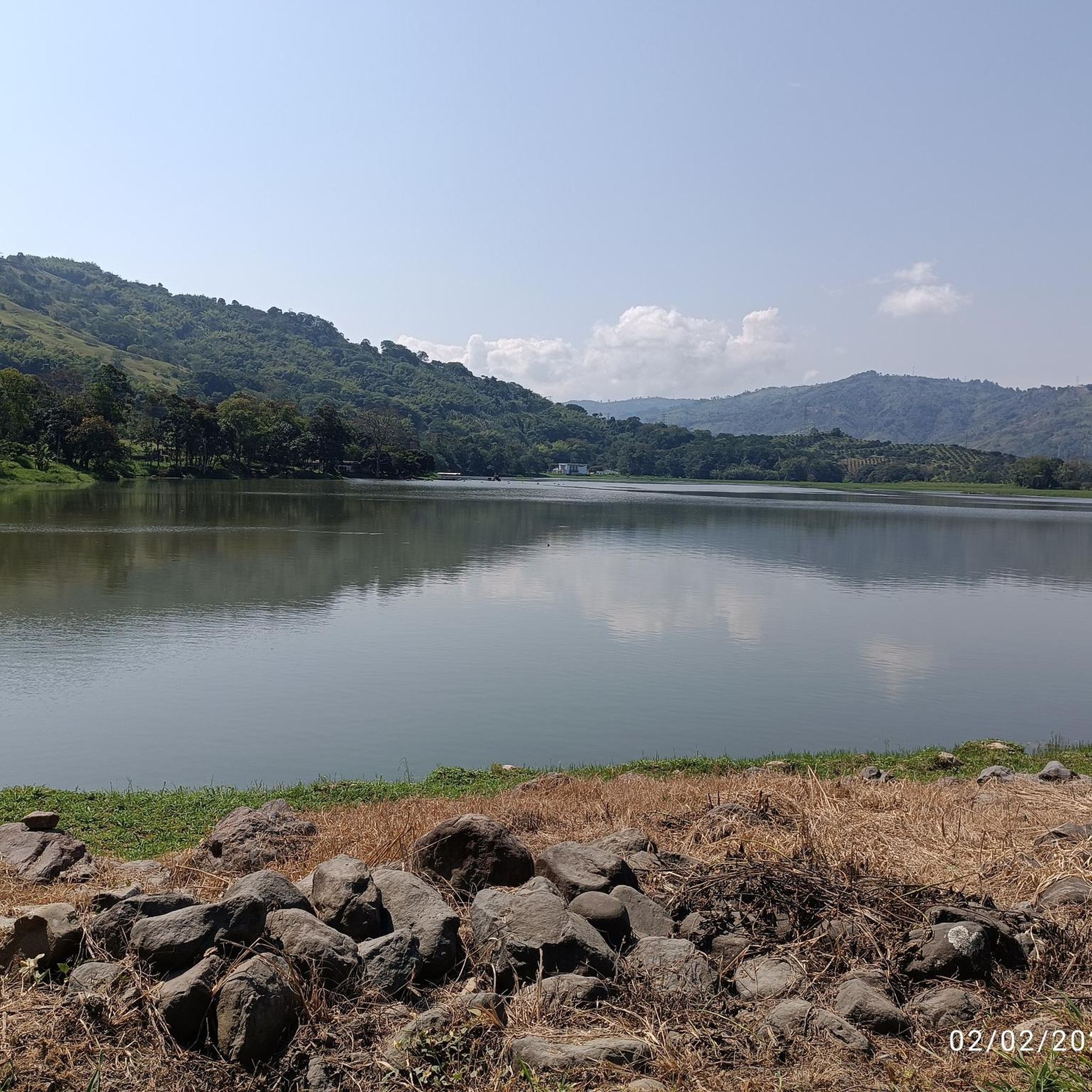
Lake Balsora or Cameguadua Reservoir was built in 1952 to supply the power generating plants of Insula, La Esmeralda and San Francisco. Over time, the lake became a problem as it received a lot of sediment from the basins that supplied the reservoir. It was then divided into three lakes; and the CHEC, in alliance with the Government, the Mayor's Office, Empocaldas and Corpocaldas began with work to decontaminate and dredge the lake. In 2010, the north lake was isolated and in 2012, the construction of the pipeline to supply water from the Campoalegre River was completed, thinking of converting the place into a tourist site with great natural and landscape wealth. Today it has the capacity for 300 or 400 people, parking areas for cars and motorcycles, in addition, it has a 600 meter path and a special roundabout for bird watching, it has sport fishing, and a boat service.
0
0
La Vereda El Trébol was founded in 1926 by Antioquian colonizers, its founders were Luis Emilio López and Desiderio López without any relation, from a humble background, they arrived when grass covered the region. They made their way and planted bread products and transported what was produced on foot to the San Pacho market, which is currently the Municipality of Chinchiná. Little by little, more settlers arrived in the region and the joint activities of its residents began to be carried out, such as bazaars, raffles and parties. Some time later the church and the aqueduct in 1951 which to this day provides valuable water to this community. In September, its festivals called "the collector's festivals" are celebrated and it is located at 1,510 meters above sea level and has an estimated population of 1,800 inhabitants.
0
0
La Estrella is a path located between Trébol and Floresta, and is between the Chinchina-Marseille road. The Star River passes through it.
0
0
Ascent for MTB by trail to Palestine, a very pleasant and quiet route, it is also demanding with good climbs to get to the road to Palestine, there are 2.67 km of route
0
0
MTB section, which communicates under Spanish and the clover. 6.23 kms of distance and 4.6 5 of inclination
0
0

El Trébol is a place to go to or return from many places
1
0
Frequently Asked Questions
What kind of terrain can I expect on mountain bike trails in San José?
San José's mountain bike trails traverse diverse landscapes, including rolling hills, oak woodlands, chaparral, and grasslands. You'll find varied terrain with numerous elevation changes, especially in areas bordered by the Santa Cruz Mountains and the Diablo Range foothills. Waterways like the Guadalupe River and Coyote Creek also offer scenic riparian corridors.
Are there mountain bike trails suitable for beginners or those looking for an easier ride?
While many trails in the region offer significant challenges, there are options for less experienced riders. For example, the La Esmeralda Lake loop from Lago is rated moderate, covering 21.0 miles (33.9 km) with 767 meters of elevation gain. Another moderate option is the Mountainbike loop from Lago, which is 15.3 miles (24.6 km) long with 738 meters of ascent.
What are some challenging mountain bike trails for experienced riders?
Experienced riders seeking a challenge will find several difficult routes. The Vereda El Trébol – Bella Mirada Viewpoint loop from Lago is a demanding 42.7-mile (68.7 km) path with over 1,800 meters of elevation gain. Another difficult option is the La Esmeralda Lake – La Muleta loop from Lago, which spans 31.0 miles (49.9 km) with 1,247 meters of climbing.
Are there any loop trails for mountain biking in San José?
Yes, many mountain bike routes in San José are designed as loops, allowing you to start and finish at the same point. Examples include the La Esmeralda Lake loop from Lago and the La Muleta – Cuazao–Alto de la Paz Trail loop from Lago, which offers a challenging 30-mile (48.2 km) ride.
What kind of elevation gain can I expect on mountain bike trails in San José?
Elevation gains vary significantly across the region's trails. Moderate routes might feature around 700-800 meters of ascent, while difficult trails can involve over 1,200 meters, and some even exceed 1,800 meters, such as the Vereda El Trébol – Bella Mirada Viewpoint loop from Lago.
What do other mountain bikers say about the trails in San José?
The mountain biking routes in San José are highly rated by the komoot community, with an average score of 4.5 stars from over 2 reviews. More than 130 mountain bikers have used komoot to explore the varied terrain, often praising the diverse landscapes and challenging climbs.
Are there any notable landmarks or attractions along the mountain bike trails?
Yes, the region offers several points of interest. You might encounter features like the Alto Carminales Educational Center, or scenic trails such as the Peralonso to Alto del Cielo Trail. The area also features natural highlights like the Totuí Canyon and Peralonso.
What is the best time of year for mountain biking in San José?
San José's climate generally allows for mountain biking year-round. However, spring is particularly beautiful with native wildflowers, including the California poppy, adorning parks like Santa Teresa Park and Almaden Quicksilver County Park. Winter riding is also possible, but it's always wise to check trail conditions, especially after rain.
Can I expect to see wildlife while mountain biking in San José?
Yes, the diverse ecosystems of San José's parks and open spaces, including oak woodlands, chaparral, and grasslands, provide habitats for various wildlife. Alum Rock Park, for instance, is known for opportunities for wildlife viewing. Keep an eye out for local fauna as you ride through areas like Almaden Quicksilver County Park and Joseph D. Grant County Park.
Are there any specific parks known for mountain biking in San José?
San José boasts an extensive system of parks ideal for mountain biking. Notable parks include Almaden Quicksilver County Park with over 37 miles of trails, Santa Teresa County Park for challenging rides, and Alum Rock Park with 13 miles of scenic trails. Calero County Park is also a favorite, featuring highly-rated trails like Corral Trail and Catherine Loop.
How long do mountain bike trails typically take to complete in San José?
The duration of mountain bike trails in San José varies greatly depending on distance and difficulty. Shorter, moderate loops might take around 2 hours, such as the Mountainbike loop from Lago (2h 13m). Longer, difficult routes can take significantly more time, with some extending to over 6 hours, like the Vereda El Trébol – Bella Mirada Viewpoint loop from Lago (6h 39m).
Are there mountain bike trails that connect different parts of the city?
Yes, trails like the Coyote Creek Trail, extending 26.9 miles, and the Guadalupe River Trail connect various parts of San José, offering extensive recreational corridors suitable for cycling. These trails provide a way to explore the city's natural areas and link different parks.
Most popular routes in San José
Most popular attractions in San José

Get inspired with the komoot mobile app


Explore more
Browse the best MTB trails in other regions.
