The best running trails in Soracá
5.0
(15)
112
runners
9
runs
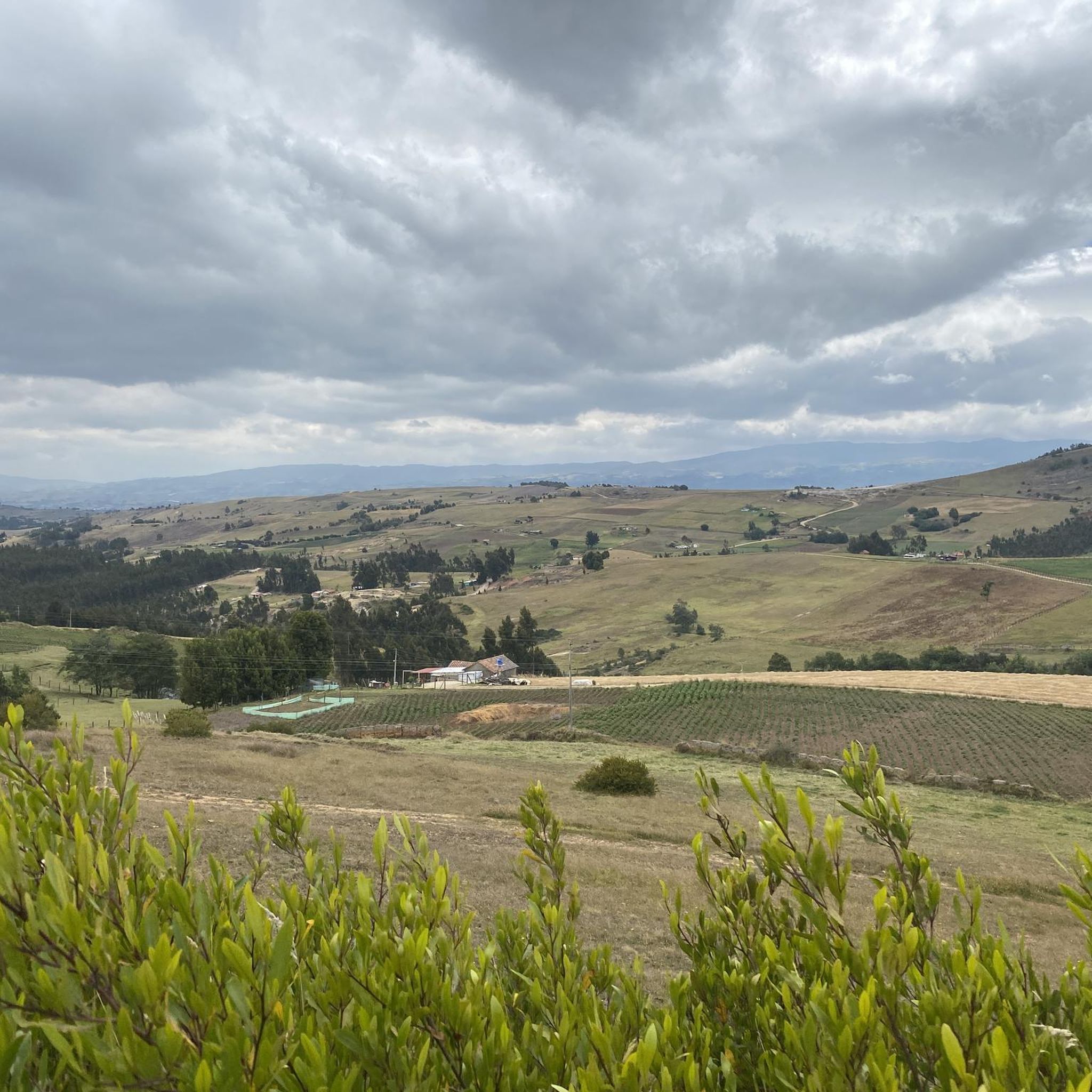
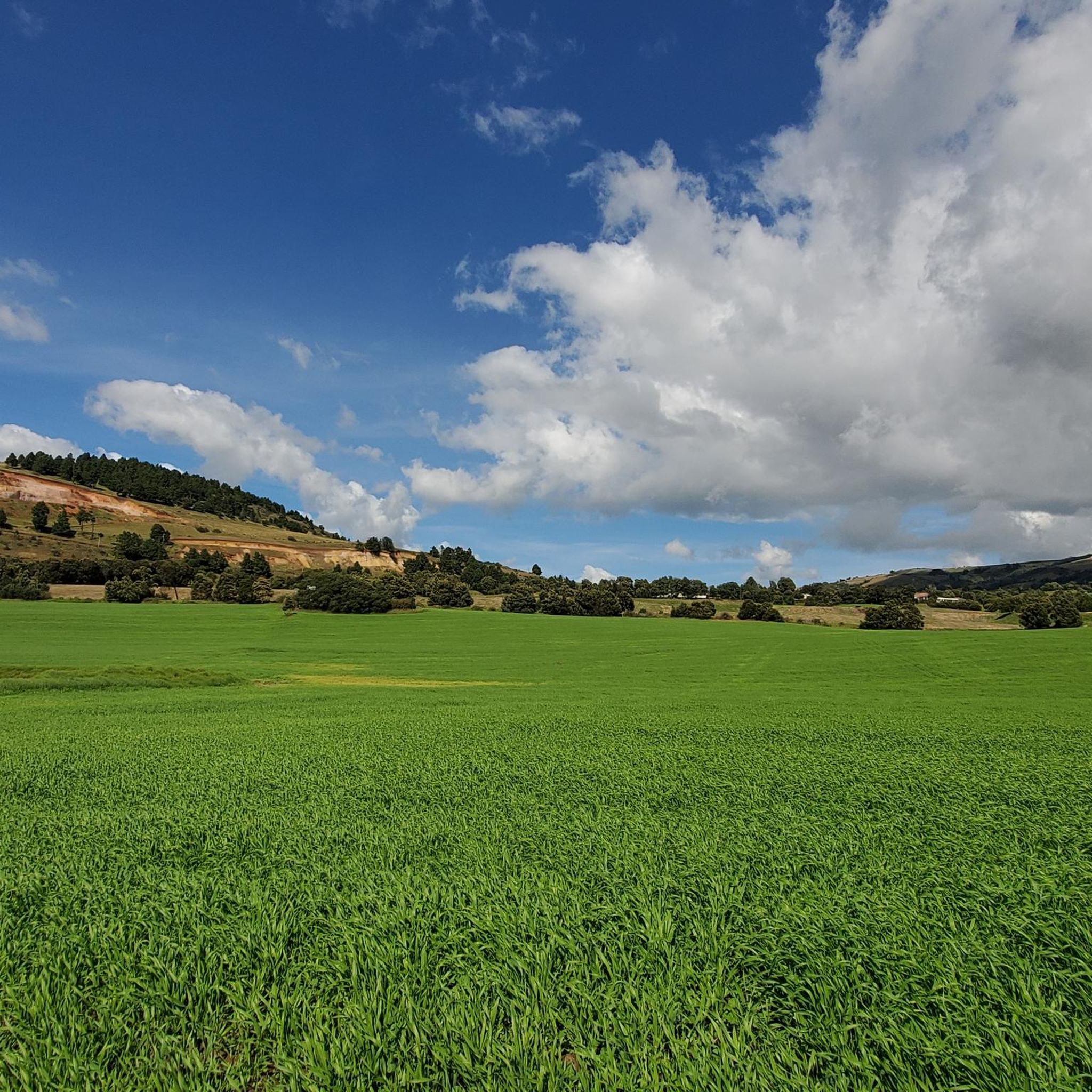
Jogging in Soracá is set within the highlands of Boyacá, Colombia, characterized by Andean landscapes and a tranquil rural environment. The region features elevations around 2942 meters above sea level, offering a high-altitude experience. Varied terrain includes gentle inclines and more challenging ascents, providing diverse options for runners. Natural features like Cerro el Gavilán and the Las Lajas rock formations contribute to the scenic routes.
Best jogging routes in Soracá
- The most popular jogging route is Paved Pathway loop from…
Last updated: July 10, 2026
5.0
(3)
24
runners
14.4km
01:30
120m
120m
Moderate run. Good fitness required. Mostly paved surfaces. Suitable for all skill levels.
11
runners
5.76km
00:36
20m
20m
Moderate run. Good fitness required. Mostly paved surfaces. Suitable for all skill levels.
5
runners
19.5km
02:17
330m
330m
Hard run. Very good fitness required. Mostly paved surfaces. Suitable for all skill levels.
Get access to more routes and recommendations from other explorers.
Sign up for free
Already have an account?
Our route recommendations are based on thousands of hikes, rides, and runs completed by other people on komoot.
Start today with a free account
Your next adventure awaits.
Login or Signup

Frequently Asked Questions
What kind of terrain can I expect on running routes in Soracá?
Jogging routes in Soracá feature varied terrain, from gentle inclines to more challenging ascents, all set within the stunning Andean landscapes of Boyacá, Colombia. You'll find paths that traverse rural areas, offering panoramic views and a tranquil environment.
Are there any easy running paths suitable for beginners in Soracá?
Yes, Soracá offers routes suitable for various fitness levels. For a relatively easy run with minimal elevation gain, consider the Running loop from Urbanización Las Quintas, which is a moderate 3.6 miles (5.7 km) path through a residential area.
What are some notable natural features or landmarks I might see while jogging in Soracá?
Soracá's routes offer views of several natural attractions. You might encounter the impressive rock formations of Las Lajas, the serene Cascada Las Canoas waterfall, or even the mysterious Cuevas de las Brujas on Cerro del Gavilán. The region is rich in water sources and native vegetation, providing a picturesque backdrop for your run.
Are there any circular running routes available in Soracá?
Many of the running paths in Soracá are designed as loops, offering a convenient circular experience. For example, the Paved Pathway loop from Tunja is a 9.0 miles (14.5 km) route that takes you through the rural landscape and brings you back to your starting point.
What is the best time of year to go jogging in Soracá?
Soracá, situated at an elevation of 2942 meters, has a cool climate year-round. It's advisable to bring a jacket as the weather can change quickly. While specific 'best' times depend on personal preference, the consistent cool temperatures make it suitable for jogging throughout the year, avoiding extreme heat.
Are there running routes in Soracá that are suitable for families?
While specific 'family-friendly' designations aren't always explicit, routes with lower elevation gain and moderate distances are generally suitable. The Running loop from Urbanización Las Quintas could be a good option due to its minimal elevation and shorter distance, making it more accessible for families.
Can I find running trails with parking facilities in Soracá?
Many routes in Soracá originate from or pass through areas where parking is accessible, especially those starting from urban or residential zones. For instance, routes like the Running loop from La Colorada often have nearby parking options, making it convenient to start your run.
What do other runners say about their experience jogging in Soracá?
The running routes in Soracá are highly rated by the komoot community, with an average score of 5.0 stars from over 10 reviews. Runners often praise the tranquil rural environment, the stunning mountain views, and the variety of terrain that caters to different ability levels.
Are there any challenging running routes for experienced runners in Soracá?
Yes, for those seeking a more demanding experience, Soracá offers routes with significant elevation changes. The Running loop from Tunja is classified as difficult, covering 20.3 km with over 330 meters of elevation gain, providing a good challenge for experienced runners.
How many running routes are available in Soracá?
There are 9 distinct running routes documented in Soracá, offering a range of options from moderate loops to more difficult ascents, all within the beautiful Andean landscape.
Are there any routes that offer a mix of paved and natural paths?
Yes, some routes in Soracá combine paved sections with more natural terrain. For example, the Paved Pathway loop from Tunja offers a mix, allowing you to experience both the convenience of paved surfaces and the natural beauty of the surrounding area.
What is the typical elevation gain on running trails in Soracá?
Elevation gain varies significantly across Soracá's running trails. While some routes like the Running loop from Urbanización Las Quintas have minimal gain (around 16 meters), others, such as the difficult Running loop from Tunja, feature over 330 meters of ascent, catering to different preferences for challenge.
Most popular routes in Soracá

Get inspired with the komoot mobile app


Explore more
Browse the best Running Trails & Routes in other regions.
