The best MTB trails in Tláhuac
4.8
(6)
20
riders
10
rides
Mountain biking in Tláhuac offers diverse terrain shaped by its volcanic landscapes and significant natural features. The region is characterized by dormant volcanoes like the Sierra de Santa Catarina and Teuhtli, providing varied elevations and challenging trails. This area of Mexico City combines urban development with extensive green spaces, including parks and natural preserves, making it suitable for outdoor activities. The volcanic topography contributes to a range of mountain bike trails with ascents and descents.
Best mountain bike trails in…
Last updated: June 26, 2026
4.5
(4)
3
riders
25.8km
01:53
530m
530m
Moderate mountain bike ride. Good fitness required. Suitable for all skill levels.
4
riders
Moderate mountain bike ride. Good fitness required. Advanced riding skills necessary.

Sign up for free
5.0
(1)
3
riders
48.9km
04:07
1,100m
1,100m
Hard mountain bike ride. Very good fitness required. Suitable for all skill levels.
2
riders
24.2km
01:49
510m
510m
Moderate mountain bike ride. Good fitness required. Suitable for all skill levels.
2
riders
72.9km
07:03
2,070m
2,070m
Hard mountain bike ride. Very good fitness required. Advanced riding skills necessary.
5.0
(1)
1
riders
55.2km
04:17
1,000m
1,000m
Hard mountain bike ride. Very good fitness required. Advanced riding skills necessary.
1
riders
13.7km
01:14
370m
370m
Moderate mountain bike ride. Good fitness required. Suitable for all skill levels.
1
riders
Moderate mountain bike ride. Good fitness required. Suitable for all skill levels.
2
riders
65.1km
05:42
1,520m
1,520m
Hard mountain bike ride. Very good fitness required. Advanced riding skills necessary.
1
riders
32.6km
02:28
750m
750m
Moderate mountain bike ride. Good fitness required. Suitable for all skill levels.
Our route recommendations are based on thousands of hikes, rides, and runs completed by other people on komoot.
Start today with a free account
Your next adventure awaits.
Login or Signup
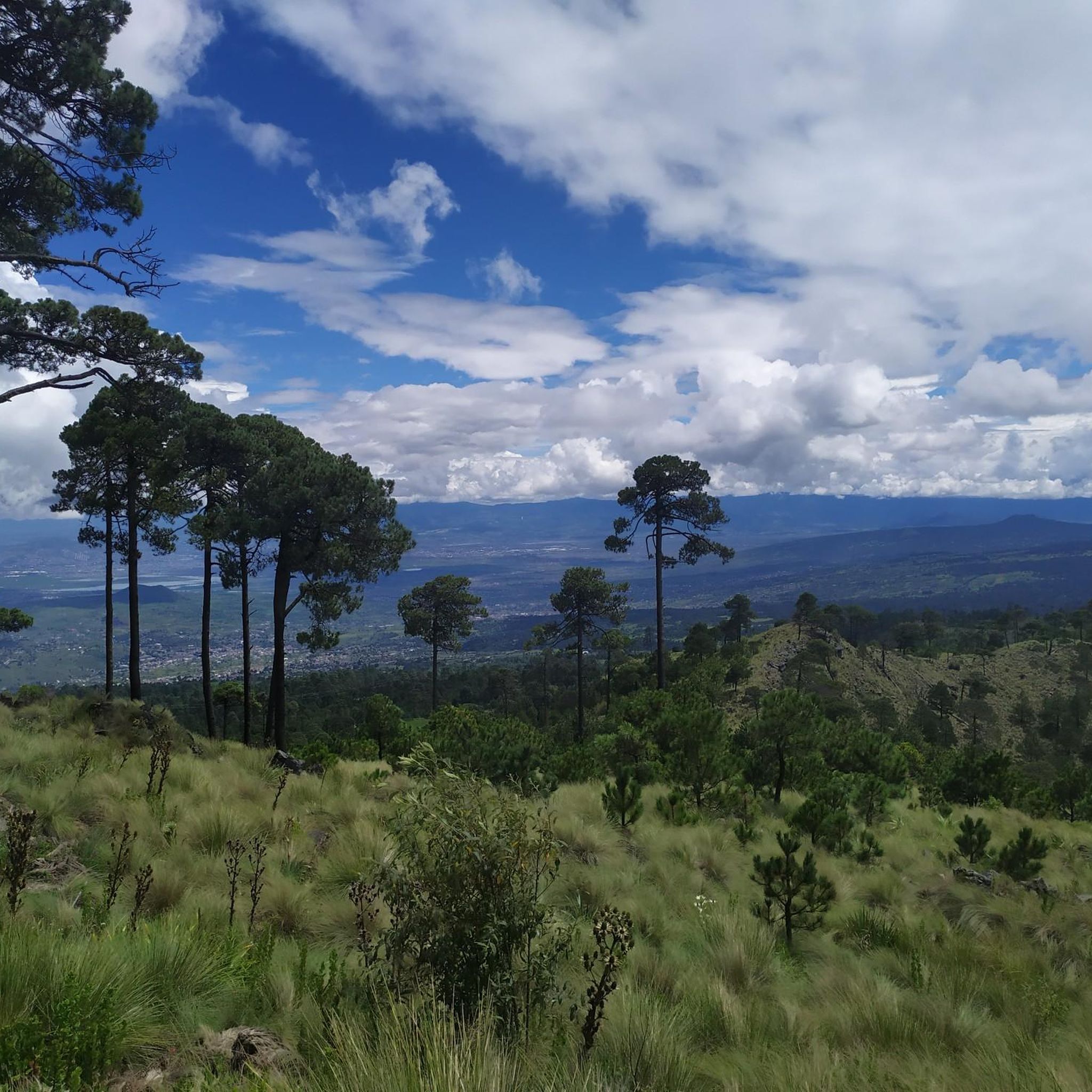
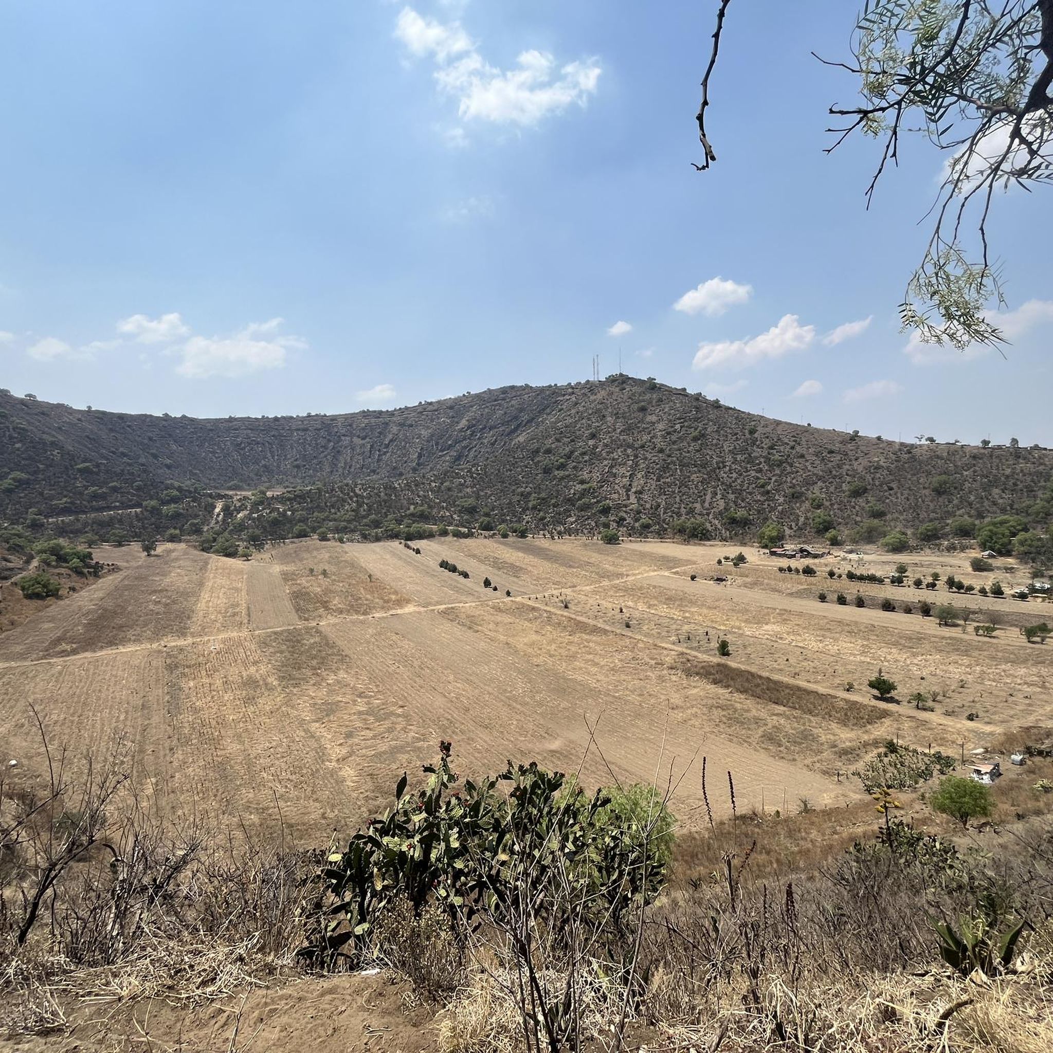

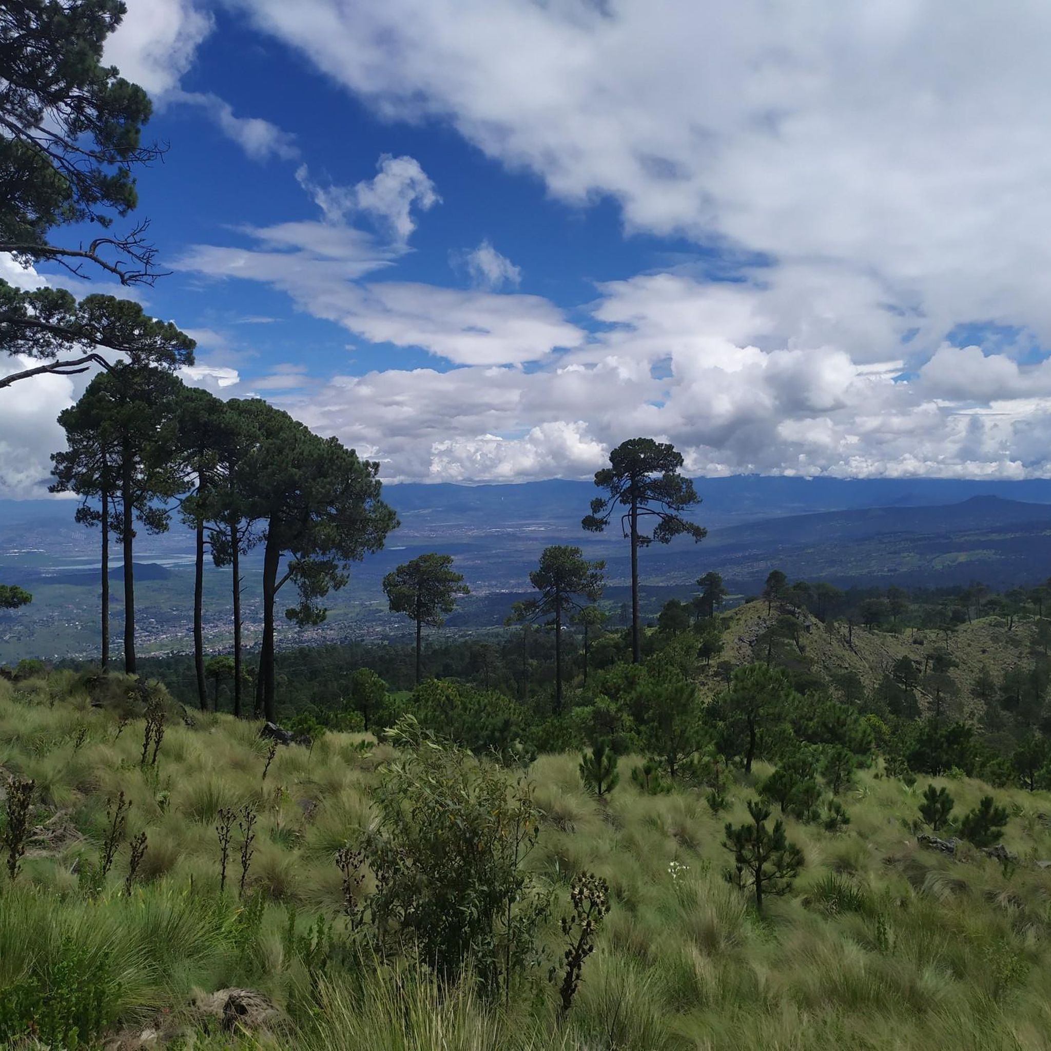
Tips from the Community

A very good climb that leads to the path between the Ocusacayo and Cuautzin volcanoes. Access is permitted; only once did the Ozontepec community security guard question me about where I was going.
2
0
Access guarded by the community, you can pass without any problem. Only once have they asked me where I was going. A very good climb that leads to the path between the Ocusacayo and Cuautzín volcanoes.
2
0
On one side of the bike path that once served as the railroad tracks to Cuernavaca. A place to take shelter from the elements, take a break, or take a pit stop for a bathroom break, although sometimes there's no water or it's closed.
2
0
The road that connects the southern volcanoes in the Chichinautzin Biological Corridor, from Parres to Tlaloc Volcano, passing through Piripitillo, Tulminac, and Tuxtepec. Remember that there are no supply areas here, so you need to bring what you need to cross these volcanic dirt roads, which are more difficult to navigate during the rainy season or during extreme drought.
3
0
I remember when it was in better condition than it is now, and all the facilities were functioning, the bathrooms had running water, and there was always someone to look after and assist with the bike rentals. Currently, it doesn't have all the services, but it's generally a safe area, and you can take shelter from the elements if you need to.
4
0
The road that connects the southern volcanoes in the Chichinautzin Biological Corridor. Remember that there are no supply areas here, so you need to bring what you need to cross these volcanic dirt roads. Its beauty is undeniable and it's not very difficult unless drought or puddles make it more difficult for the wheels.
2
0

the start to explore the hills in Milpa Alta
0
0
In this area, paths cross to any volcano in the area. Sometimes, the area's caretaker is there, and you can request asylum if necessary. The area is well preserved and offers a respite from the route where you can return to your destination.
2
0
Frequently Asked Questions
How many mountain bike trails are available in Tláhuac?
Komoot features 11 mountain bike trails in Tláhuac. These routes offer a variety of experiences, from moderate rides to more challenging routes with significant elevation changes.
Are there any easy mountain bike trails for beginners in Tláhuac?
While Tláhuac's volcanic terrain often presents moderate to difficult challenges, there are no trails specifically categorized as 'easy' in our current selection. Most routes are rated as moderate, offering a good balance for riders with some experience. For example, the Mountainbike loop from Tláhuac is a moderate 14.0-mile trail.
What kind of terrain can I expect on mountain bike trails in Tláhuac?
Tláhuac's mountain bike trails are characterized by volcanic terrain, including the Sierra de Santa Catarina and other dormant volcanoes like Teuhtli. This means you can expect varied elevations, with both ascents and descents, offering a dynamic riding experience through natural preserves and green spaces.
Are there any family-friendly mountain bike options in Tláhuac?
For families, areas like Bosque de Tláhuac offer recreational spaces with bike trails suitable for various activities, though specific 'family-friendly' mountain bike routes are not explicitly categorized in our data. The park also features an artificial lake and other attractions that can complement a cycling outing.
Can I bring my dog on the mountain bike trails in Tláhuac?
While specific regulations for dogs on mountain bike trails in Tláhuac are not detailed in our data, many natural parks and outdoor areas in Mexico City generally allow dogs on leash. It's always best to check local signage or park rules at specific locations like Bosque de Tláhuac or Parque Xalli before heading out with your pet.
What are some notable natural features or attractions I might see along the trails?
The region is rich in natural beauty. You might encounter the dramatic landscapes of the Sierra de Santa Catarina, explore areas near the ancient chinampas and canals, or ride through parks like Bosque de Tláhuac, located on the slopes of the Teuhtli volcano. Parque Xalli, situated on the lower slopes of the Tetecon and Xaltepec volcanoes, also offers unique volcanic scenery.
Are there any circular mountain bike routes in Tláhuac?
Yes, many of the mountain bike trails in Tláhuac are designed as loops. For instance, the La Troje Ruins loop from San Juan Ixtayopan is a moderate 16.1-mile path, and the Mountainbike loop from Tláhuac is a 14.0-mile trail leading through volcanic hills.
What is the best time of year for mountain biking in Tláhuac?
Tláhuac, like much of Mexico City, generally experiences a dry season from November to April and a rainy season from May to October. The dry season typically offers more predictable weather conditions, making it ideal for mountain biking. However, even during the rainy season, mornings are often clear, with showers usually occurring in the afternoon.
Are there any challenging routes for experienced mountain bikers?
Absolutely. Tláhuac offers several difficult routes for experienced riders. The View of Tlaloc Volcano – Ojo de Agua Tulmiac loop from Tláhuac is a challenging 45.3-mile trail with significant elevation gain. Another difficult option is the Ejido Topilejo – El Sifón Station loop from Xochimilco, spanning 55.2 miles.
What do other mountain bikers say about the trails in Tláhuac?
The mountain bike trails in Tláhuac are highly rated by the komoot community, with an average score of 4.8 stars from more than 5 reviews. Riders often praise the varied volcanic terrain and the opportunities to explore the region's unique natural landscapes.
Is there public transport access or parking near the mountain bike trails?
Tláhuac is part of Mexico City and has public transport options, including metro and bus lines, which can provide access to the general area. Specific parking availability varies by trailhead and park. For example, Bosque de Tláhuac has dedicated parking facilities. It's advisable to research specific starting points for parking options or public transport connections.
Can I find places to eat or drink near the mountain bike routes?
As a borough within Mexico City, Tláhuac has various local eateries, cafes, and restaurants, particularly in its more urbanized areas and near popular parks. While specific establishments directly adjacent to every trail might be limited, you'll find options in nearby towns and communities to refuel after your ride.

Get inspired with the komoot mobile app


Explore more
Browse the best MTB trails in other regions.
