The best road cycling routes around Westway
33
riders
3
rides
Road cycling routes around Westway offer a mix of urban and natural landscapes, depending on the specific location referenced. The region, as identified in some contexts, features sections of elevated motorways designed for connectivity, while other interpretations point to small, peaceful riverside areas with short trails. Road cyclists can find routes that provide unique urban perspectives or paths through mature forests and along tidal marshes. The terrain varies from flat, direct urban paths to routes with moderate elevation gains.
Best…
Last updated: July 5, 2026
13
riders
35.4km
01:32
280m
270m
Easy road ride. Great for any fitness level. Mostly well-paved surfaces and easy to ride.
9
riders
24.8km
01:46
400m
400m
Moderate road ride. Good fitness required. Mostly well-paved surfaces and easy to ride.

Sign up for free
4
riders
53.9km
02:14
140m
130m
The Roadbike loop from Canutillo offers a fantastic opportunity to explore the Chihuahuan Desert on two wheels, providing a moderate 33.5-mile (53.9 km) ride. You'll pedal through a landscape dotted…
5
riders
36.7km
01:31
40m
40m
Easy road ride. Great for any fitness level. Mostly well-paved surfaces and easy to ride.
2
riders
25.5km
01:23
420m
420m
Moderate road ride. Good fitness required. Mostly well-paved surfaces and easy to ride.
Our route recommendations are based on thousands of hikes, rides, and runs completed by other people on komoot.
Start today with a free account
Your next adventure awaits.
Login or Signup


Tips from the Community

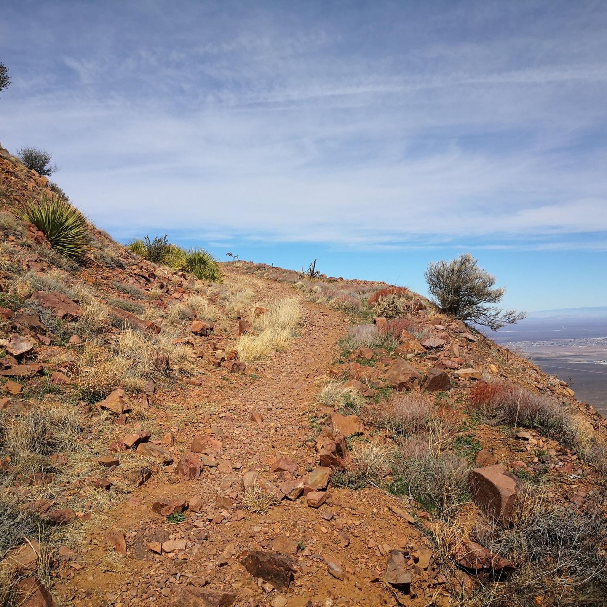
There is a paved path and a dirt road that follows along the Rio Grande here. You can make the route longer or shorter by going further (or shorter) down the trail. This is a popular spot for runners, walkers, and bikers, and it's best to get on it early before the sun is up for the day.
0
0
The main road leading from the entrance to Tom Mays Unit is completely paved but a pretty popular spot for biking and running. It’s a nice warm-up for some of the steeper trails, too, so a lot of people just run up the road to get to different trailheads.
0
0
Frequently Asked Questions
What types of road cycling routes can I find around Westway?
Road cycling routes around Westway offer a diverse experience, ranging from urban paths to routes that traverse more natural settings like riverside areas and forested terrain. You'll find options suitable for various skill levels, from easier loops with moderate elevation gains to more challenging rides with significant climbs.
Are there any easy road cycling routes for beginners in Westway?
Yes, beginners can find suitable routes. For instance, the Resler Pond 2 loop from Franklin High School is classified as easy, covering 19.1 km with a moderate elevation gain, making it a good starting point for those new to road cycling in the area.
Which routes offer a longer distance for sustained road cycling?
For longer rides, consider the Roadbike loop from Canutillo, which spans 53.8 km with moderate elevation, or the Roadbike loop from Valley Creek Park, a 45.0 km path with minimal elevation changes, ideal for sustained cycling.
Are there any challenging road bike climbs around Westway?
If you're looking for a challenge, the Roadbike loop from Speedway is a moderate 24.8 km route that features significant climbs, providing a good test for experienced road cyclists.
What kind of scenery can I expect on Westway's road cycling routes?
The scenery varies significantly. Some routes offer unique urban views, especially if you're cycling near infrastructure like the London Westway. Other areas, like the Westway Open Space in Connecticut, provide peaceful natural settings with views of rivers, tidal marshes, and mature forests. The routes listed in this guide offer a mix of these environments.
Are there any loop road cycling routes available?
Yes, all the featured routes are loops, designed for convenience. Examples include the Resler Pond 2 loop from Franklin High School, the Roadbike loop from Valley Creek Park, and the Roadbike loop from Speedway.
What are some interesting places to see near the road cycling routes?
While cycling, you can explore several nearby attractions. For example, you might find natural features like Aztec Cave or historic Tin Mines. There are also other trails like the Rio Grande Trail and Mundy's Gap Trail that offer additional exploration opportunities.
Is public transport accessible for reaching road cycling routes in Westway?
Given the varied interpretations of 'Westway,' public transport access will depend on the specific location. For urban areas like London's Westway, public transport links are extensive. For other, more natural settings, access might be more limited, so checking local transport options for your chosen starting point is advisable.
What is the best season for road biking in Westway?
The best season for road biking around Westway largely depends on the specific climate of the area you're visiting. Generally, spring and autumn offer pleasant temperatures and less extreme weather, making them ideal for cycling. Summer can be great, but be mindful of heat, while winter might present colder conditions or precipitation.
Are there any family-friendly road bike routes in Westway?
While specific 'family-friendly' designations aren't provided for all routes, easier loops with moderate elevation, such as the Resler Pond 2 loop from Franklin High School, could be suitable for families depending on their cycling experience and the children's ages.
Where can I find parking near the road cycling trailheads?
Parking availability will vary by route and location. For routes starting from places like 'Franklin High School' or 'Valley Creek Park,' there may be designated parking areas. It's recommended to check the specific route details on komoot for information on trailhead access and parking facilities before you go.
What do other road cyclists enjoy most about road cycling in Westway?
Road cyclists using komoot appreciate the diverse settings available, from urban infrastructure to natural riverside paths and forested areas. The network offers options for different ability levels, from easy loops to moderate climbs, ensuring there's something for everyone.
Most popular routes around Westway
Most popular attractions around Westway

Get inspired with the komoot mobile app


Explore more
Browse the best Road cycling routes in other regions.
