The best gravel rides in Bunyaville Conservation Park
3.0
(1)
39
riders
4
rides
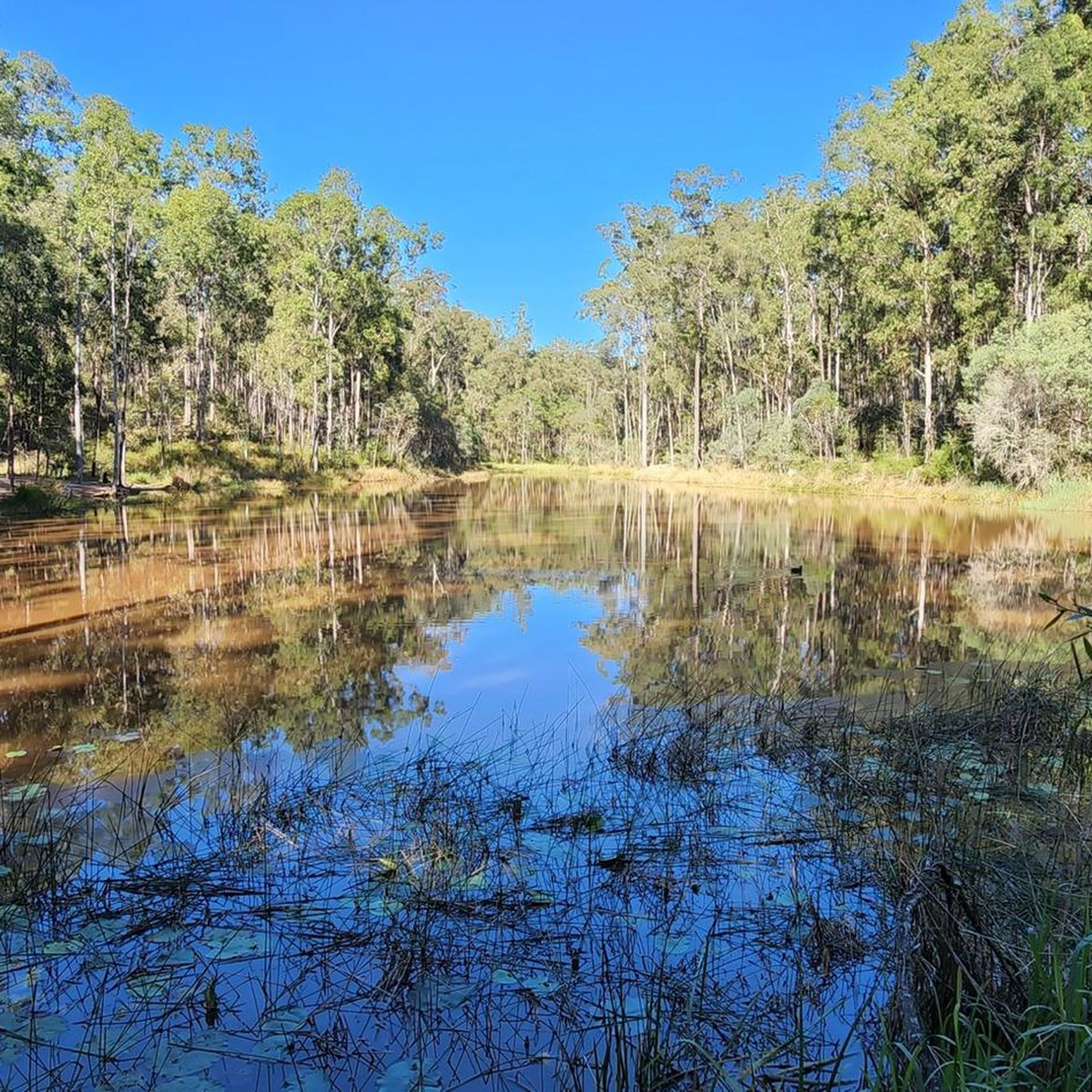
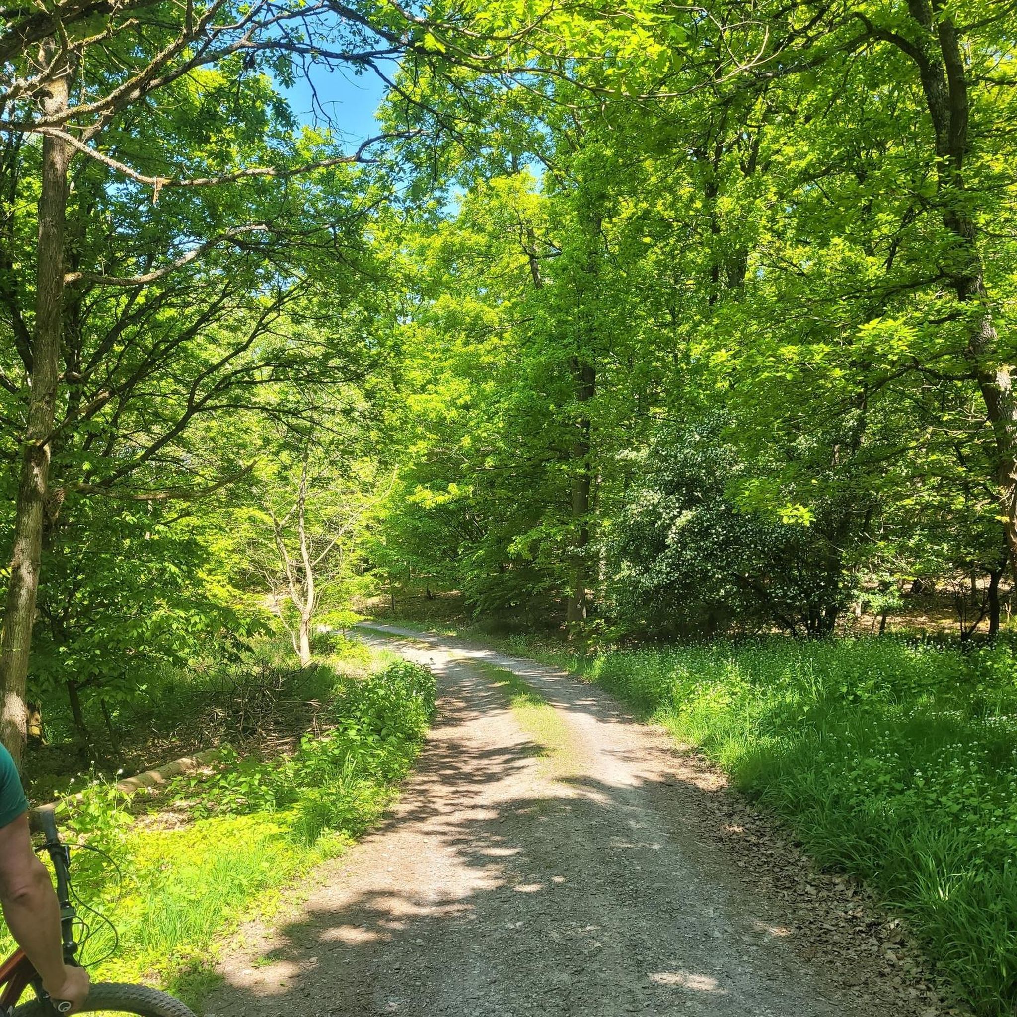
Gravel biking in Bunyaville Conservation Park offers a diverse landscape just 9 miles (15 km) north-west of central Brisbane. The park spans 620 hectares, featuring open eucalypt forests with species like spotted gum and ironbark, alongside tranquil creeks such as Albany Creek, wetlands, and grasslands. The terrain includes undulating sections with shared trails and wider fire trails suitable for gravel bikes, some of which may feature roots, rocks, and creek beds. This natural environment provides a varied riding experience for different skill levels.
Best gravel bike trails in Bunyaville Conservation Park
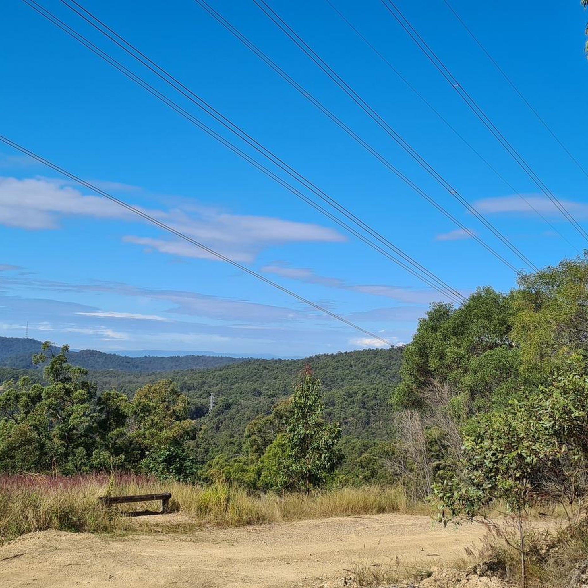
- The most popular gravel bike trail is Wahminda Park Parking Area – View of the Countryside loop from Ferny Grove, a 33.0 miles (53.2 km) trail that takes 4 hours 36 minutes to complete. This difficult route features significant elevation gain through the park's varied landscape.
- Another top favourite among local gravel bikers is Canopy Pathway – Canopy Walkway loop from Ferny Grove, a moderate 20.7 miles (33.3 km) path. This route offers a less technical experience, traversing through the park's eucalypt forests and undulating terrain.
- Local gravel bikers also love the Rocket Frog Trail, Gap Creek – Jindalee Route loop from Alderley, a 34.9 miles (56.2 km) trail leading through diverse forest and creek areas, often completed in about 4 hours 33 minutes.
- Gravel biking in Bunyaville Conservation Park is defined by eucalypt forests, tranquil creeks, and undulating terrain. The network offers options for different ability levels, from less technical shared paths to more challenging routes.
- The routes in Bunyaville Conservation Park are highly rated by the komoot community with an average score of 3.0 stars from over 1 review. More than 50 gravel bikers have used komoot to explore Bunyaville Conservation Park's varied terrain.
Last updated: July 9, 2026
17
riders
52.1km
03:31
1,010m
1,010m
Hard gravel ride. Very good fitness required. Mostly paved surfaces. Suitable for all skill levels.
3.0
(1)
7
riders
32.8km
02:20
430m
430m
Moderate gravel ride. Good fitness required. Mostly paved surfaces. Suitable for all skill levels.

Sign up for free
8
riders
56.3km
03:54
890m
890m
Hard gravel ride. Very good fitness required. You may need to push your bike for some segments of this route.
4.0
(1)
7
riders
48.3km
03:17
860m
860m
Hard gravel ride. Very good fitness required. Mostly paved surfaces. Suitable for all skill levels.
Our route recommendations are based on thousands of hikes, rides, and runs completed by other people on komoot.
Start today with a free account
Your next adventure awaits.
Login or Signup

Tips from the Community

The Mount Coot-Tha Summit Lookout sits at an elevation of 287 metres above sea level and has breathtaking views across the Brisbane skyline to Moreton Bay. This large viewing platform sits just below the summit at 226 metres. There is a large car park here, access to bushwalking tracks, The Summit Restaurant & Bar, The Summit Café and well maintained public toilets. This area is open all day every day with no admission fees, and is a great place to watch the sun set.
0
0
The Lanita Rail Trail (also known as the Samford Cycle Link or part of the broader Ferny Grove to Samford Rail Trail) is a historic rail path that is shared by runners, walkers and bikers. It's paved and follows the old Dayboro branch railway line. The Lanita Rail Trail is just a 30-minute drive from the Brisbane Central Business District and feels like a nice escape into nature. Look out for railway cuttings and large earth embankments along the route as the path passes under eucalyptus trees that wild wallabies call home.
0
0
Kedron Creek passes under the Lanita Rail Trail and is a lively creek with ducks, herons, egrets, and kingfishers hanging out by the water's edge. It's scenic, surrounded by greenery and the bridge passing over it is very modern, looking like a wooden work of art.
0
0
Lanita Court transitions into the most western end of the Lanita Rail Trail at this point. A metal gate restricts vehicles from entering, and there is signage about the conservation area. This trackhead is just the end of a road and not an official parking area. It's best to park at the eastern end of the Lanita Rail Trail at the car park for Wahminda Park.
0
0

South Boundary Road trail is a wide gravel management road that runs through the southern section of D’Aguilar National Park, connecting many of the park’s walking, cycling, and equestrian trails. Running through native bushland, it’s the main access route that leads to several more challenging trails, and its wide surface and straightforward terrain make it a popular starting point for longer adventures in the park.
0
0
Cabbage Tree Creek Bikeway is a lovely, sealed shared pathway that follows Cabbage Tree Creek through a mix of bushland reserves, parkland, and open green space. It’s a mostly flat route that crosses a series of bridges and boardwalks as it runs along local parks, playgrounds, and neighbouring suburbs, making it popular for walking, running, and cycling. This creekside path is a great way to enjoy a peaceful stroll and is a nice escape from the urban hustle.
0
0

An old gold mine camp sits next to the picnic area, and you can walk around and check out the ruins and signs containing the storied history of ore extraction in these hills.
0
0
The picnic area has lots of shaded seating, and sprawls out across the street from the trailhead. There is parking and a restroom by the trail map as you start the track.
0
0
Frequently Asked Questions
How many gravel bike trails are available in Bunyaville Conservation Park?
Bunyaville Conservation Park offers a network of over 22 km of trails, with 7 gravel bike routes documented on komoot. These range from moderate to difficult, providing options for various skill levels.
What kind of terrain can I expect on gravel bike trails in Bunyaville Conservation Park?
The park features a diverse landscape with open eucalypt forests, tranquil creeks like Albany Creek, wetlands, and grasslands. Gravel riders will find shared trails and wider fire trails, which are less technical than dedicated mountain bike trails. Expect undulating sections, and some paths may include natural features like roots, rocks, and creek beds, which gravel bikes are well-suited to handle.
Are there any easy or moderate gravel bike trails for beginners in Bunyaville Conservation Park?
Yes, while many routes are challenging, there is a moderate option suitable for those looking for a less technical experience. Consider the Canopy Pathway – Canopy Walkway loop from Ferny Grove, which is 33.3 km long and traverses through the park's eucalypt forests and undulating terrain.
What natural features or wildlife might I encounter while gravel biking in Bunyaville Conservation Park?
The park is rich in natural beauty. You'll ride through open eucalypt forests with spotted gum, grey gum, and ironbark trees. Keep an eye out for wildlife such as koalas, wallabies, echidnas, various reptiles, and thousands of native birds, including pied currawongs and laughing kookaburras. During spring, the park is also adorned with wildflowers.
Are there any specific viewpoints or landmarks along the gravel bike trails?
While there aren't specific viewpoints listed as highlights, the park itself offers scenic spots. The Wahminda Park Parking Area – View of the Countryside loop from Ferny Grove offers expansive views of the surrounding landscape. Additionally, the park has a small lake and a Tree Discovery Circuit, which is a short loop off the main Bunyaville track, highlighting diverse eucalypt species and offering opportunities to spot koalas.
What are the parking options for gravel biking in Bunyaville Conservation Park?
Bunyaville Conservation Park provides well-maintained picnic areas that typically include parking facilities. These areas are convenient starting points for accessing the trail network. Specific trailheads like Wahminda Park Parking Area are also mentioned as starting points for routes.
Is Bunyaville Conservation Park suitable for family-friendly gravel biking?
Yes, the park offers shared trails and wider fire trails that are less technical, making them suitable for families. The presence of well-maintained picnic areas with barbecues and toilet facilities also makes it an ideal spot for family outings, allowing for breaks and relaxation during your ride.
What do other gravel bikers enjoy most about riding in Bunyaville Conservation Park?
The area is highly rated by the komoot community, with an average score of 3.0 stars. Reviewers often praise the diverse landscape, the variety of trails suitable for gravel bikes, and the opportunity to experience Australian bushland just a short distance from Brisbane.
Are there any loop trails for gravel biking in Bunyaville Conservation Park?
Yes, many of the gravel bike routes in Bunyaville Conservation Park are designed as loops. For example, the challenging Rocket Frog Trail, Gap Creek – Jindalee Route loop from Alderley and the moderate Canopy Pathway – Canopy Walkway loop from Ferny Grove are both excellent circular options.
What is the longest gravel bike route available in the park?
One of the longer and more challenging gravel bike routes is the Rocket Frog Trail, Gap Creek – Jindalee Route loop from Alderley, which spans 56.2 km and typically takes around 4 hours and 33 minutes to complete.
Are there any facilities like picnic areas or restrooms in Bunyaville Conservation Park?
Yes, Bunyaville Conservation Park is well-equipped with visitor facilities. It features well-maintained picnic areas that include undercover and outdoor barbecues (wood supplied), toilet facilities, and picnic tables, making it convenient for longer rides or family visits.
Can I access Bunyaville Conservation Park using public transport?
The park is located just 15 km north-west of central Brisbane, making it relatively accessible. While specific public transport routes directly to trailheads are not detailed, various bus services operate in the surrounding suburbs, which may require a short ride or walk to reach the park entrances.
Most popular routes in Bunyaville Conservation Park

Get inspired with the komoot mobile app


Explore more
Browse the best Gravel rides in other regions.
