The best road cycling routes around Shuswap Lake
5.0
(3)
82
riders
7
rides
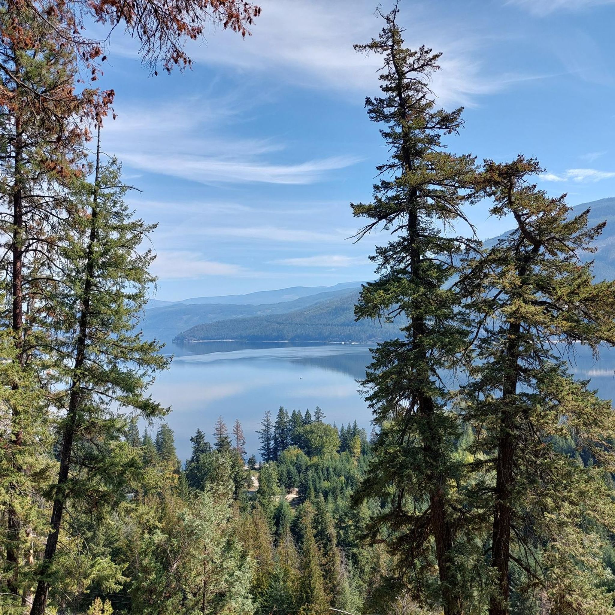
Road cycling around Shuswap Lake offers diverse landscapes, including rugged mountains, forest-lined valleys, and extensive lake shoreline. The region features mostly well-paved surfaces on many routes, though some segments may include unpaved sections. Cyclists can expect varied terrain with elevation gains up to 3,000 feet, providing options for different fitness levels. The area is characterized by its numerous waterways and the H-shaped Shuswap Lake, which boasts over 1,000 kilometers of shoreline.
Best road cycling routes around Shuswap Lake
- The most popular road cycling route is Finz Restaurant, Shuswap Lake loop from Shuswap Lake, a 31.5 miles (50.7 km) trail that takes 2 hours 55 minutes to complete. This route offers winding paths along the lake, providing scenic views.
- Another top favourite among local road cyclists is Finz Restaurant, Shuswap Lake loop from Sorrento, a moderate 16.3 miles (26.2 km) path. This shorter loop also features lakeside riding and passes by public lake access points.
- Local road cyclists also love the Shuswap River – Waby Lake loop from Salmon Arm, a 49.4 miles (79.4 km) trail leading through the Shuswap River valley, often completed in about 3 hours 55 minutes.
- Road cycling around Shuswap Lake is defined by lake-hugging roads, country roads through orchards, and routes exploring river valleys. The network offers options for different ability levels, with all 6 routes in this guide rated as moderate.
- The routes in Shuswap Lake are highly rated by the komoot community with an average score of 5.0 stars from over 4 reviews. More than 60 road cyclists have used komoot to explore Shuswap Lake's varied terrain.
Last updated: October 20, 2026
7
riders
50.7km
02:55
570m
570m
Moderate road ride. Good fitness required. Mostly well-paved surfaces and easy to ride.
5.0
(2)
12
riders
26.2km
01:29
290m
290m
Moderate road ride. Great for any fitness level. Some segments of this route may be unpaved and difficult to ride.

1
riders
79.5km
03:55
940m
930m
Hard road ride. Very good fitness required. Mostly well-paved surfaces and easy to ride.
5.0
(1)
21
riders
77.6km
03:50
650m
650m
Moderate road ride. Good fitness required. Mostly well-paved surfaces and easy to ride.
15
riders
90.6km
04:45
730m
730m
Moderate road ride. Good fitness required. Mostly well-paved surfaces and easy to ride.
Get access to more routes and recommendations from other explorers.
Already have an account?
Our route recommendations are based on thousands of hikes, rides, and runs completed by other people on komoot.
Start today with a free account
Your next adventure awaits.
Popular around Shuswap Lake
Tips from the Community

One of the park's most popular photo ops, the friendship gate was gifted to Salmon Arm by its sister city of Inashiki, Japan.
0
0
This urban gem features a paved walking path all the way around the lake, a lovely fountain, picnic tables right off 6th Street NE, and a Japanese friendship gate.
0
0

Shuswap Lake, which has more than 250 miles of navigable shoreline, is home to several species of salmonids, including chinook salmon, coho, sockeye, rainbow trout, and lake trout. These fish are of great importance for recreational fishing in the area.
1
0
Salmon Arm is a community located on the south arm of Shuswap Lake in the Thompson Okanagan region, British Columbia. This lake is known for its recreational activities, including water sports, fishing, and hiking.
1
0
Frequently Asked Questions
What kind of terrain can I expect on road cycling routes around Shuswap Lake?
The Shuswap Lake region offers diverse terrain for road cycling, from rugged mountains and forest-lined valleys to extensive lake shoreline. You'll find mostly well-paved surfaces, especially along the lakeshore and country roads, though some segments may include unpaved sections. Routes often wind along the lake, through orchards, and into river valleys like the Salmon River and Shuswap River.
Are there challenging road cycling routes in the Shuswap Lake area?
Yes, the Shuswap Lake region provides road cycling routes with varying elevation gains, catering to different fitness levels. While all routes in this guide are rated moderate, the region generally offers options up to 3,000 feet (914 meters) or more, providing a good challenge for experienced cyclists. For example, the Shuswap River – Waby Lake loop from Salmon Arm features nearly 900 meters of elevation gain over its 79.4 km.
What are some scenic highlights or natural features to look out for while cycling around Shuswap Lake?
Cyclists can enjoy breathtaking lake views along routes like Sunnybrae – Canoe Point Road, which hugs the shoreline. The region is also home to several parks and natural attractions. You might consider visiting Herald Provincial Park, known for Margaret Falls, or Tsútswecw Provincial Park (Roderick Haig-Brown Park) on the Adams River, famous for its sockeye salmon run in October. The area also features pebble beaches like Shannon Beach and views of the Shuswap River valley.
Are there any family-friendly road cycling options around Shuswap Lake?
While all routes in this guide are rated moderate, the Shuswap Lake region does offer a variety of cycling opportunities, including easier, scenic rides suitable for families. Many routes follow the lakeshore on country roads, providing pleasant and relatively flat sections. Shuswap Lake Provincial Park also offers trails and paths that are easily accessible by bike.
Can I find circular road cycling routes in the Shuswap Lake area?
Yes, several popular road cycling routes around Shuswap Lake are designed as loops. Examples include the Finz Restaurant, Shuswap Lake loop from Shuswap Lake (50.7 km) and the shorter Finz Restaurant, Shuswap Lake loop from Sorrento (26.2 km). These loops offer varied distances and scenic lakeside riding.
What is the best time of year for road cycling around Shuswap Lake?
The Shuswap Lake region is known for its warm climate, making spring, summer, and early fall ideal for road cycling. Shuswap Lake is one of British Columbia's warmest lakes, and the pleasant weather during these seasons enhances the outdoor experience. October is particularly notable for viewing the sockeye salmon run at Tsútswecw Provincial Park.
What do other road cyclists enjoy most about road cycling in Shuswap Lake?
The area is highly rated by the komoot community, with an average score of 5.0 stars. Reviewers often praise the diverse landscapes, scenic lake views, and the variety of routes that cater to different abilities. The combination of well-paved roads, charming country routes, and access to natural attractions makes it a favorite destination.
Are there any routes that explore the river valleys in the Shuswap Lake region?
Yes, the Shuswap region features routes that venture into its three river valleys: Salmon River, Shuswap River, and Deep Creek. For instance, the Shuswap River – Waby Lake loop from Sicamous takes you through the Shuswap River valley, offering a different perspective of the region's natural beauty.
What are the typical road conditions like for cycling around Shuswap Lake?
Most road cycling routes around Shuswap Lake feature well-paved surfaces, especially those that follow the lakeshore or main country roads. However, some segments, particularly on less-traveled paths or in more rural areas, may include unpaved or more challenging sections. Routes like White Lake Road are known for good pavement with some challenging corners.
Are there any specific routes that offer a longer distance for road cycling?
For those seeking longer distances, the Shuswap Lake area offers several options. The Shuswap River – Waby Lake loop from Salmon Arm is a substantial 79.4 km route, and the Shuswap River – Waby Lake loop from Sicamous extends to 81.2 km, both providing extensive riding through varied landscapes.
What types of natural landscapes will I encounter on a road bike around Shuswap Lake?
Road cycling around Shuswap Lake offers a rich tapestry of natural landscapes. You'll experience the vastness of the H-shaped lake with its 1,000 kilometers of shoreline, rugged mountains, dense forest-lined valleys, and open grasslands. Routes often pass through orchards and along rivers, showcasing the region's diverse ecosystem.
Most popular routes around Shuswap Lake

Get inspired with the komoot mobile app


Explore more
Browse the best Road cycling routes in other regions.
