The best road cycling routes around Area C (Blind Bay/Sorrento)
5.0
(4)
65
riders
6
rides
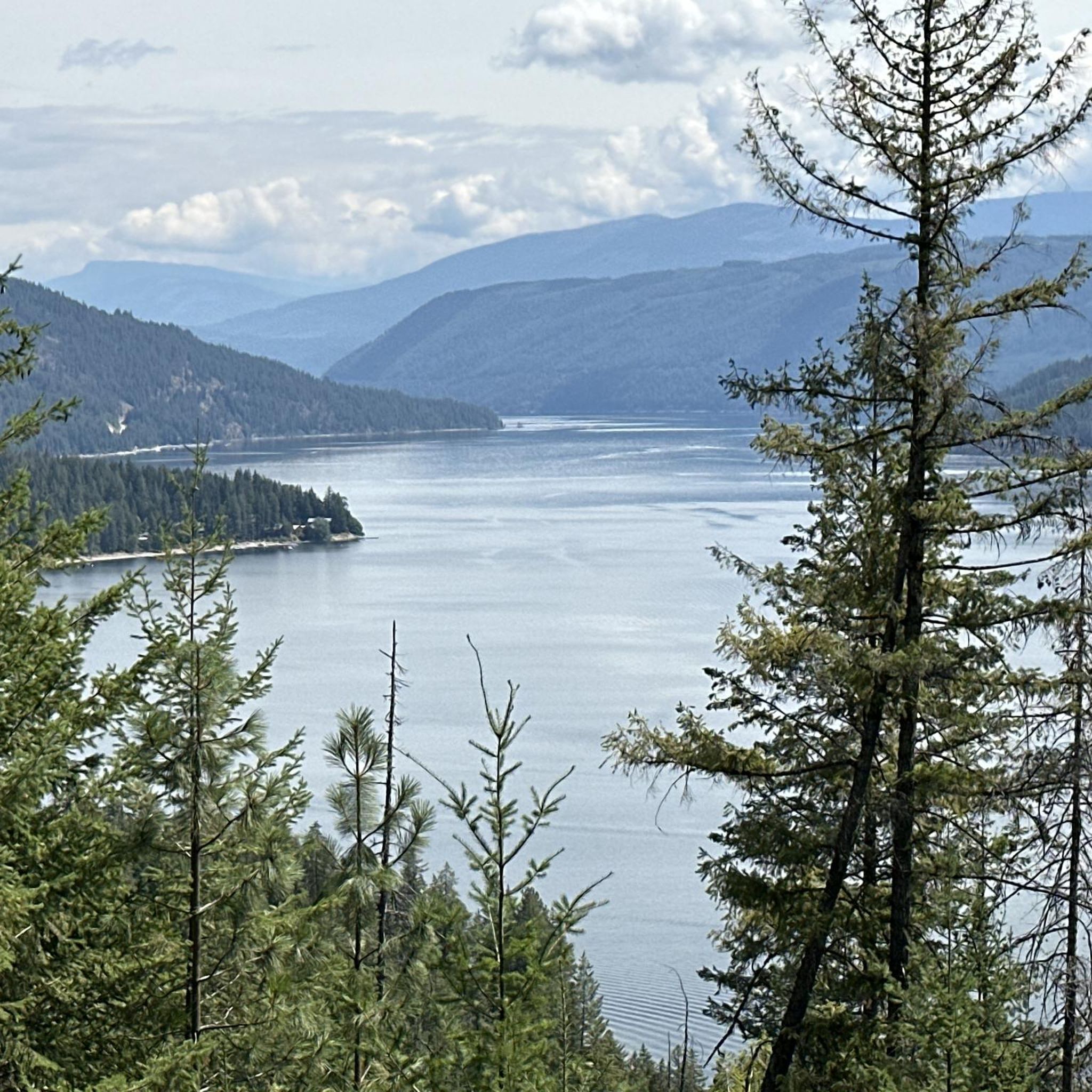
Road cycling routes around Area C (Blind Bay/Sorrento) traverse a landscape shaped by the Shuswap Lake and surrounding waterways. The terrain features rolling hills and lakeside roads, offering varied gradients for road cyclists. This region provides routes that combine views of the water with sections through more inland, undulating areas.
Best road cycling routes around Area C (Blind Bay/Sorrento)
- The most popular road cycling route is Finz Restaurant, Shuswap Lake loop from Carlin Elementary Middle School, a 26.6 miles…
Last updated: July 17, 2026
5.0
(1)
24
riders
42.8km
02:27
480m
480m
Moderate road ride. Good fitness required. Mostly well-paved surfaces and easy to ride.
5.0
(1)
21
riders
76.4km
04:12
630m
630m
Moderate road ride. Good fitness required. Mostly well-paved surfaces and easy to ride.

Sign up for free
5.0
(2)
10
riders
26.2km
01:31
290m
290m
Moderate road ride. Great for any fitness level. Some segments of this route may be unpaved and difficult to ride.
8
riders
50.7km
02:55
570m
570m
Moderate road ride. Good fitness required. Mostly well-paved surfaces and easy to ride.
1
riders
79.5km
03:56
950m
950m
Hard road ride. Very good fitness required. Mostly well-paved surfaces and easy to ride.
Our route recommendations are based on thousands of hikes, rides, and runs completed by other people on komoot.
Start today with a free account
Your next adventure awaits.
Login or Signup
Popular around Area C (Blind Bay/Sorrento)
Tips from the Community

Shuswap Lake, which has more than 250 miles of navigable shoreline, is home to several species of salmonids, including chinook salmon, coho, sockeye, rainbow trout, and lake trout. These fish are of great importance for recreational fishing in the area.
1
0
Salmon Arm is a community located on the south arm of Shuswap Lake in the Thompson Okanagan region, British Columbia. This lake is known for its recreational activities, including water sports, fishing, and hiking.
1
0
Frequently Asked Questions
How many road cycling routes are available in Area C (Blind Bay/Sorrento)?
There are 6 dedicated road cycling routes in Area C (Blind Bay/Sorrento) listed on komoot. All routes are currently rated as moderate, offering a good balance for various skill levels.
Are there any challenging road cycling routes in Area C (Blind Bay/Sorrento)?
While all routes are currently rated as moderate, some offer longer distances and sustained climbs. For example, the Shuswap River – Waby Lake loop from Salmon Arm is nearly 80 km long with significant elevation gain, providing a more demanding ride.
What kind of terrain can I expect on road cycling routes around Area C (Blind Bay/Sorrento)?
The terrain in Area C (Blind Bay/Sorrento) is characterized by rolling hills and lakeside roads, shaped by the Shuswap Lake and surrounding waterways. You'll find varied gradients, combining scenic water views with sections through undulating inland areas.
Are there any circular road bike routes in the Area C (Blind Bay/Sorrento) region?
Yes, many of the routes are circular loops. A popular option is the Finz Restaurant, Shuswap Lake loop from Carlin Elementary Middle School, which offers a moderate 42.8 km ride with lakeside stretches.
What can I see along the road cycling routes in Area C (Blind Bay/Sorrento)?
The routes offer scenic views of Shuswap Lake and the surrounding landscape. You can also find natural attractions nearby such as Margaret Falls and Syphon Falls, or enjoy panoramic views from White Lake Lookout.
Are there any family-friendly road bike paths in Blind Bay?
While all routes are rated moderate, the shorter loops around Shuswap Lake might be suitable for families with older children or those comfortable with moderate distances. The Finz Restaurant, Shuswap Lake loop from Sorrento is a 26.2 km ride that could be a good option.
What do other road cyclists enjoy most about road cycling in Area C (Blind Bay/Sorrento)?
The area is highly rated by the komoot community, with an average score of 5.0 stars. Road cyclists often praise the scenic lakefront roads, rolling hills, and the variety of routes connecting different communities, offering options for various ability levels.
Are there any long-distance road cycling routes in Area C (Blind Bay/Sorrento)?
Yes, for longer rides, consider routes like the Parkinson Lake – Waby Lake loop from Salmon Arm, which covers 72.2 km and explores a network of lakes with sustained climbs. Another option is the Shuswap River – Waby Lake loop from Salmon Arm, at nearly 80 km.
What is the best time of year for road biking in Blind Bay and Sorrento?
The region generally offers pleasant conditions for road cycling from spring through fall. Summers are warm and sunny, ideal for lakeside rides, while spring and autumn provide cooler temperatures and beautiful scenery. Always check local weather forecasts before heading out.
Are there any viewpoints along the road cycling routes in Area C?
Yes, the region offers several scenic spots. While cycling, you'll encounter beautiful lake views. For a specific panoramic vista, consider visiting White Lake Lookout, which provides expansive views of the surrounding landscape.
Can I find cafes or places to stop for refreshments along road bike trails near Blind Bay and Sorrento?
Many routes pass through or near communities like Blind Bay and Sorrento, where you can find local cafes and restaurants. The routes often feature 'Finz Restaurant' in their names, indicating a potential stop point, such as the Finz Restaurant, Shuswap Lake loop from Sorrento.
Are there any beginner-friendly road bike trails in Area C (Blind Bay/Sorrento)?
All routes in this guide are rated as moderate. However, for beginners looking for a manageable distance, the Finz Restaurant, Shuswap Lake loop from Sorrento is the shortest at 26.2 km, making it a good starting point to experience the region's road cycling.
Most popular routes around Area C (Blind Bay/Sorrento)
Most popular attractions around Area C (Blind Bay/Sorrento)

Get inspired with the komoot mobile app


Explore more
Browse the best Road cycling routes in other regions.
