The 5 Most Amazing Peaks around Saint-Sauveur-Camprieu
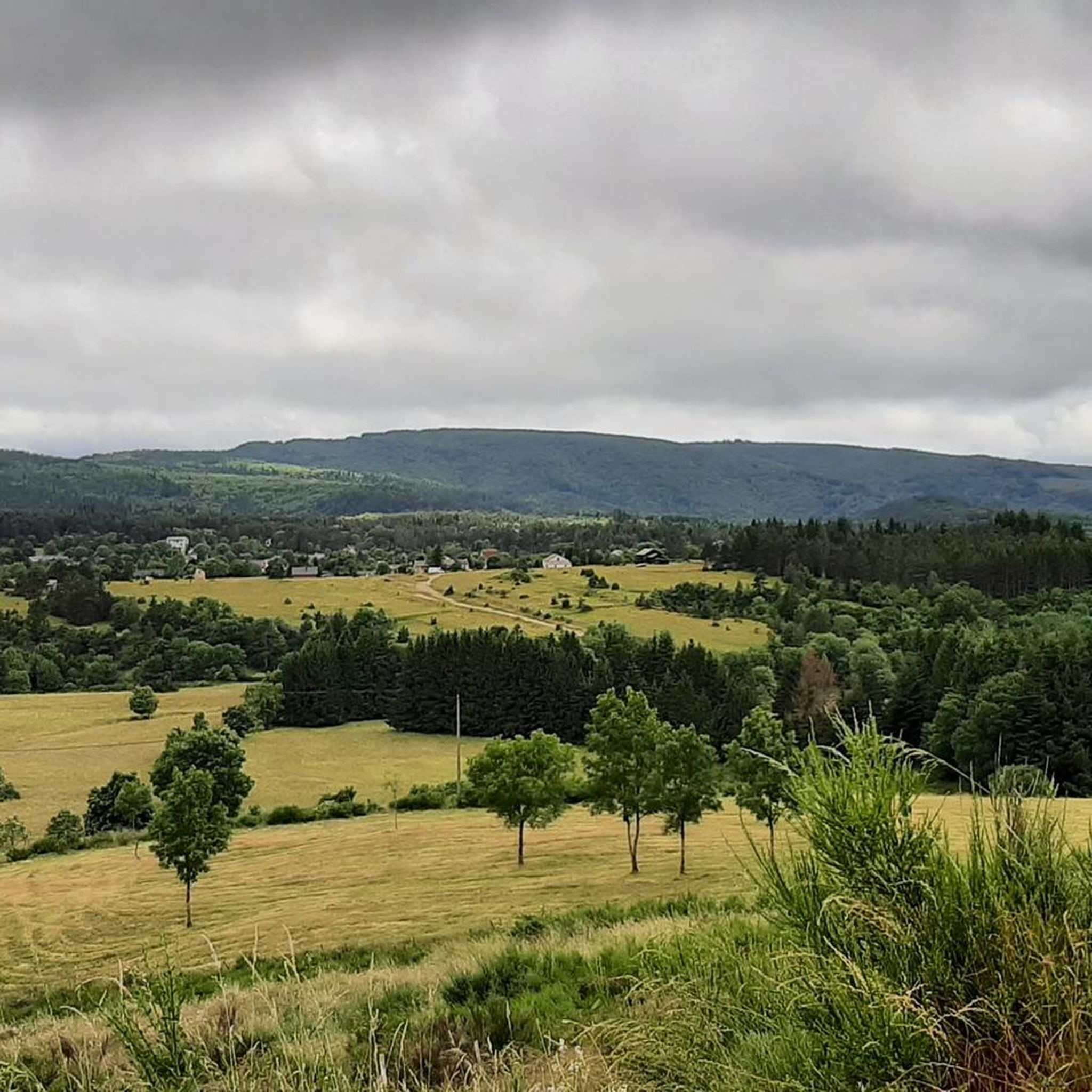
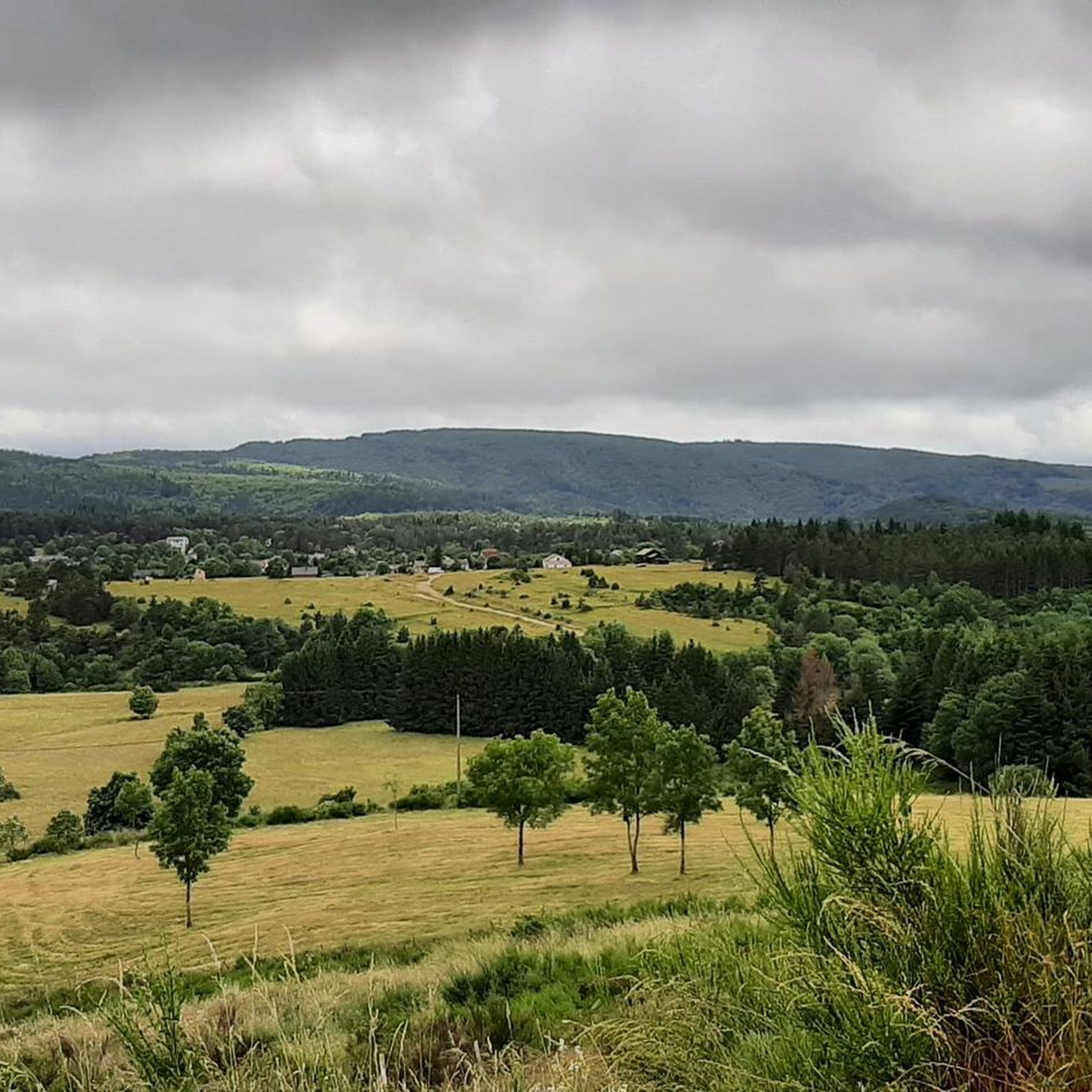
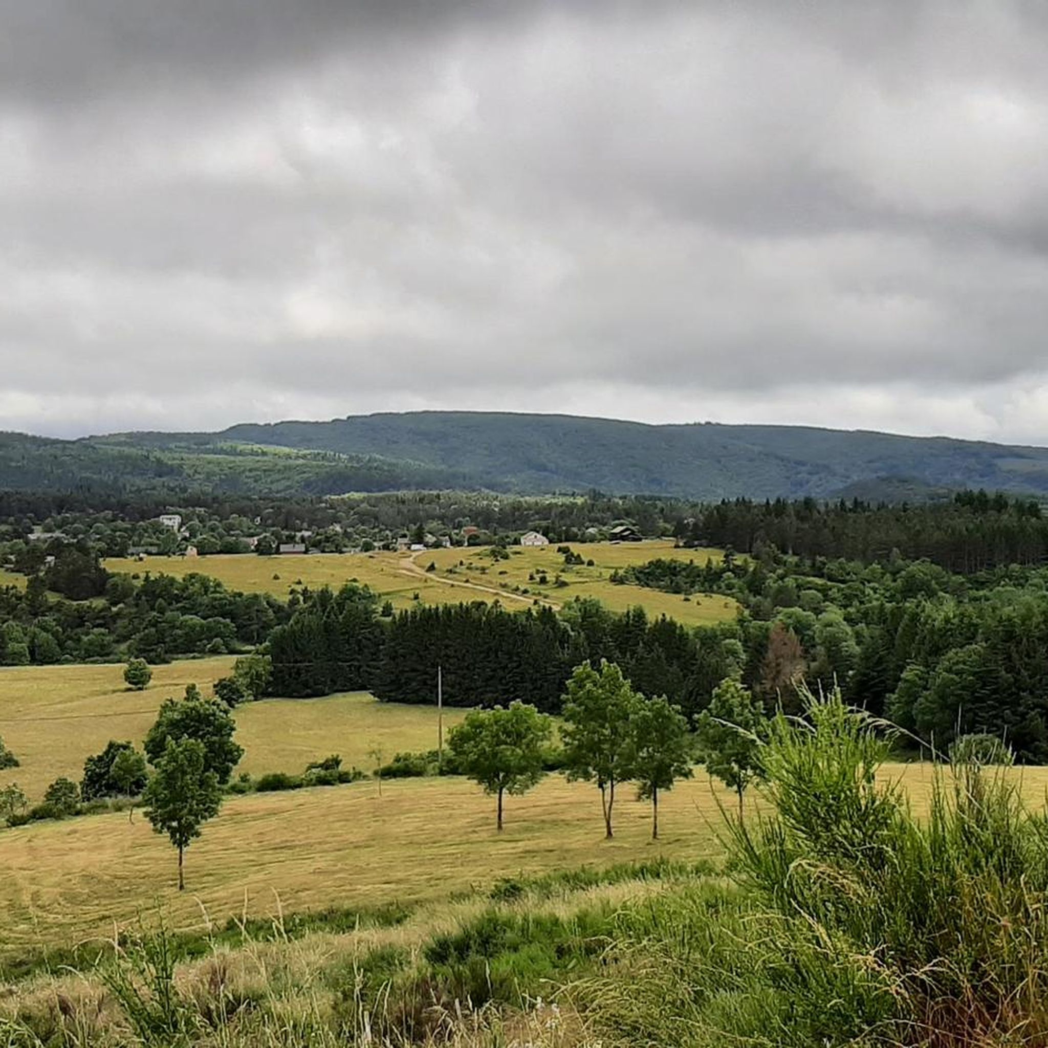
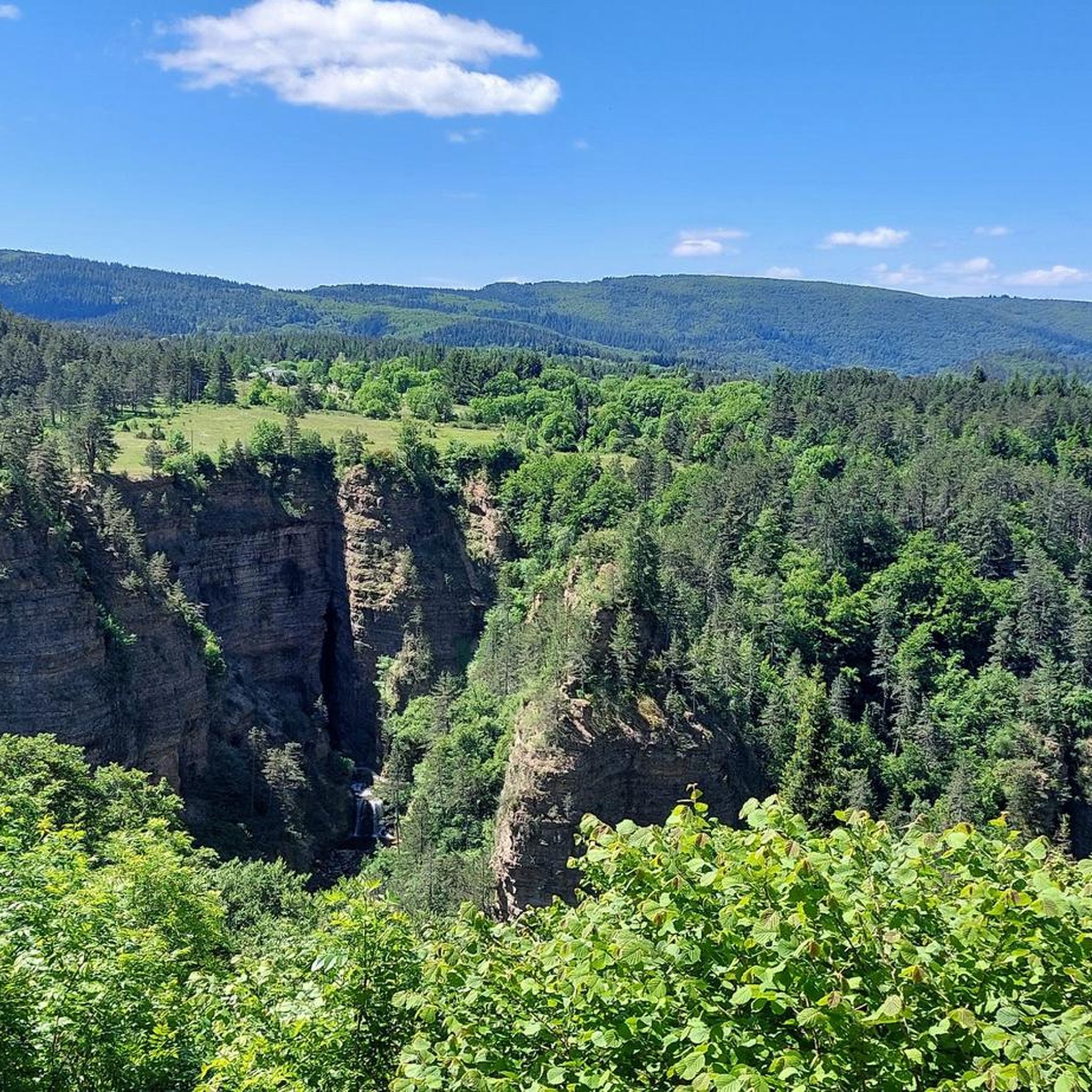
Best mountain peaks around Saint-Sauveur-Camprieu are situated within the Cévennes National Park, offering access to notable summits. This area is characterized by its diverse terrain, ranging from granite and schist outcrops to dense forests. The region provides extensive panoramic views, often stretching across multiple departments and to the Mediterranean Sea. It is a significant part of the Massif Central, known for its unique climate and natural heritage.
Best mountain peaks around Saint-Sauveur-Camprieu
- The most popular mountain peaks is The 4000 Steps, a path that leads to the summit of Mont Aigoual. This route is known for its over 4000 stony steps, offering a consistently steep but walkable ascent.
- Another must-see spot is Climbing Mount Aigoual from Valleraugue, a first-class climb. This ascent covers 26 kilometers with an average gradient of 4.5%, allowing for a steady pace while admiring the scenery.
- Visitors also love Saint-Guiral, a distinctive granite rock formation reaching an altitude of 1,366 meters. From its summit, it offers a superb panoramic view of the Cévennes.
- Saint-Sauveur-Camprieu is known for its prominent summits, challenging climbs, and scenic viewpoints. The area offers a variety of mountain peaks to see and explore, catering to different levels of hiking experience.
- The mountain peaks around Saint-Sauveur-Camprieu are appreciated by the komoot community, with 59 upvotes and 78 photos shared by visitors.
Last updated: June 30, 2026
The 4000 Steps
Highlight (Segment) • Summit
In the central area of the Cévennes National Park and crossing the arboretum of the Hort de Dieu, the 9.5 km long path with a drop of 1200 m leaves from Valleraugue (357 m) to reach the observatory of Aigoual (1567 m).
Massive granite and schist, between Atlantic and Mediterranean, despite its modest altitude, abundant precipitation, wind, fog make it a real mountain.
Translated by Google •
Tip by

Mount Aigoual
Highlight • Summit
It also lies on the border between the Gard and Lozère departments. Here you'll find a weather station, as well as a snack bar and refreshment bar.
On a clear day, the panorama is exceptional, offering views stretching from the Alps to the Pyrenees, and from the Puy de Sancy to the Mediterranean.
Beware of sudden temperature changes and wind.
Translated by Google •
Tip by

Sign up now to discover places like this
Get recommendations on the best single tracks, peaks, & plenty of other exciting outdoor places.
Sign up for free
Climbing Mount Aigoual from Valleraugue
Highlight (Segment) • Climb
Translated by Google •
Tip by

Saint-Guiral
Highlight • Summit
Translated by Google •
Tip by

Summit of Saint Guiraö
Highlight • Summit
Translated by Google •
Tip by

Start today with a free account
Your next adventure awaits.
Login or Signup

Tips from the Community


A first-class climb, the ascent of Mount Aigoual from Valleraugue is long but steady, covering 26 kilometers but averaging only 4.5%. Take your pace, don't push yourself, and admire the scenery.
0
0

Wonderful mountain with a wonderful view. We stayed there on our long-distance hike from Tarifa (Spain) to Switzerland and can highly recommend the camp.
4
0

Very nice place to contemplate the surrounding landscapes in favorable weather conditions. Presence of a bar/restaurant and a panoramic table at height.
2
0

Mont Aigoual is the second highest peak in the Cévennes after Mont Lozère. Renowned for its meteorological observatory, it offers breathtaking panoramic views. It’s a popular place for mountain bikers!
2
0

Park your bike at the end of the trail, walk 5 mins to the bottom of the rocky peak and climb the boulder, it's worth it! Especially after the rather unattractive ascent through the forest.
0
0
After the ascent through the forest, a detour on foot with easy rock climbing to the summit is worthwhile
0
0

At an altitude of 1366m, the Saint-Guiral was a crossing point of the Trail des Templiers. Today it is an emblematic summit of the Trail des Hospitaliers.
0
0
Frequently Asked Questions
What are the most prominent mountain peaks to visit in the Saint-Sauveur-Camprieu area?
The most prominent peaks in the Saint-Sauveur-Camprieu area are Mont Aigoual and Saint-Guiral. Mont Aigoual, at 1,565 meters, is the highest point of the Gard department and offers a meteorological observatory with vast panoramic views. Saint-Guiral, a distinctive granite rock formation at 1,366 meters, is known for its extensive views and rich local legends.
What makes Mont Aigoual a unique destination?
Mont Aigoual is unique for several reasons. It hosts Le Climatographe, France's first Center for Interpretation and Awareness of Climate Change, located in its historic meteorological observatory. On clear days, the summit provides breathtaking 360-degree views stretching across 13 departments, from the Mediterranean Sea to the Pyrenees and even the Alps. It's also known as the 'Watery Mountain' due to being the wettest place in France, contributing to its unique cool-summer oceanic climate and the surrounding Forest of Aigoual.
Are there challenging hiking trails to the peaks around Saint-Sauveur-Camprieu?
Yes, for those seeking a challenge, the famous 'Montée des 4,000 marches' (Climb of the 4,000 Steps) is a notable route to the summit of Mont Aigoual. This path, starting from Valleraugue, features over 4,000 stony steps, offering a consistently steep but walkable ascent. You can find more details about this route at The 4000 Steps.
What kind of views can I expect from Saint-Guiral?
From the summit of Saint-Guiral, you can expect one of the most extensive panoramic views in France on a clear day. The vista can stretch to the Mediterranean Sea, Mont Canigou in the Pyrenees, various 'causses' (limestone plateaus), and much of the Cévennes. Its distinctive granite formation adds to the dramatic scenery.
What outdoor activities are available near these mountain peaks?
The region around Saint-Sauveur-Camprieu offers a wide range of outdoor activities. Besides hiking to the peaks, you can explore numerous trails for different sports. For hiking, consider routes like 'The valley of Happiness and the entrance of the Abyss of Bramadiau'. Mountain biking enthusiasts can try 'Singletrack – The Trépaloup menhir loop'. For more options, check out the guides for Hiking around Saint-Sauveur-Camprieu and MTB Trails around Saint-Sauveur-Camprieu.
Is Mont Aigoual accessible in winter?
Yes, Mont Aigoual is a four-season destination. In winter, the Alti-Aigoual ski station opens for alpine and cross-country skiing, sledding, and snowshoeing. However, be aware that access can be difficult in winter due to extreme conditions, and sudden temperature changes and strong winds are common.
Are there any family-friendly mountain walks in the area?
While some ascents are challenging, the diverse terrain around Saint-Sauveur-Camprieu offers easier trails suitable for families. For example, the 'Abîme de Bramabiau – Lake Bonheur loop' is an easy hiking route. The Mont Aigoual area also has various routes for different skill levels, and the educational aspects of Le Climatographe can be engaging for all ages.
What is the historical significance of Saint-Guiral?
Saint-Guiral is steeped in local legend and has historical significance as a pilgrimage site. It's particularly associated with the legend of the three hermits – Saint Guiral, Saint Alban, and Saint Loup. Historically, masses were celebrated at granite altars on its summit, and blessings were given to protect livestock, blending natural beauty with rich cultural folklore.
What should I know about the weather conditions on Mont Aigoual?
Mont Aigoual is known for its extreme and rapidly changing weather conditions. It is the wettest place in France, receiving an average of 2,250 mm of rainfall annually. Wind gusts can exceed 300 km/h, and temperatures can fluctuate dramatically. Visitors should be prepared for all types of weather, even in summer, and check forecasts before heading out.
Can I find food and drink facilities near the mountain peaks?
At the summit of Mont Aigoual, there is a weather station that sometimes includes a snack bar and refreshment bar. However, visitor tips suggest that these facilities might not always be open, especially outside peak season. It's advisable to bring your own provisions, particularly for longer hikes or visits during quieter times.
What is the 'Climbing Mount Aigoual from Valleraugue' highlight about?
The highlight Climbing Mount Aigoual from Valleraugue refers to a first-class cycling climb. This ascent is long but steady, covering 26 kilometers with an average gradient of 4.5%. It allows cyclists to maintain a steady pace while enjoying the scenic route up to the summit of Mont Aigoual.
Are there any other notable climbs to Mont Aigoual?
Yes, another significant climb is the Ascent of Mont Aigoual from Le Vigan via the Col de la Lusette. This route is classified as 'hors catégorie' and is actually composed of three distinct climbs. It covers 33 kilometers with an average gradient of 4.6%, passing through the Col des Mourèzes and the Col de la Lusette before reaching Mont Aigoual.
Most popular routes around Saint-Sauveur-Camprieu
Most popular attractions around Saint-Sauveur-Camprieu

Get inspired with the komoot mobile app


Explore more
See even more amazing summits around Saint-Sauveur-Camprieu with these guides:
