The best road cycling routes around Kopanica
5.0
(8)
170
riders
9
rides
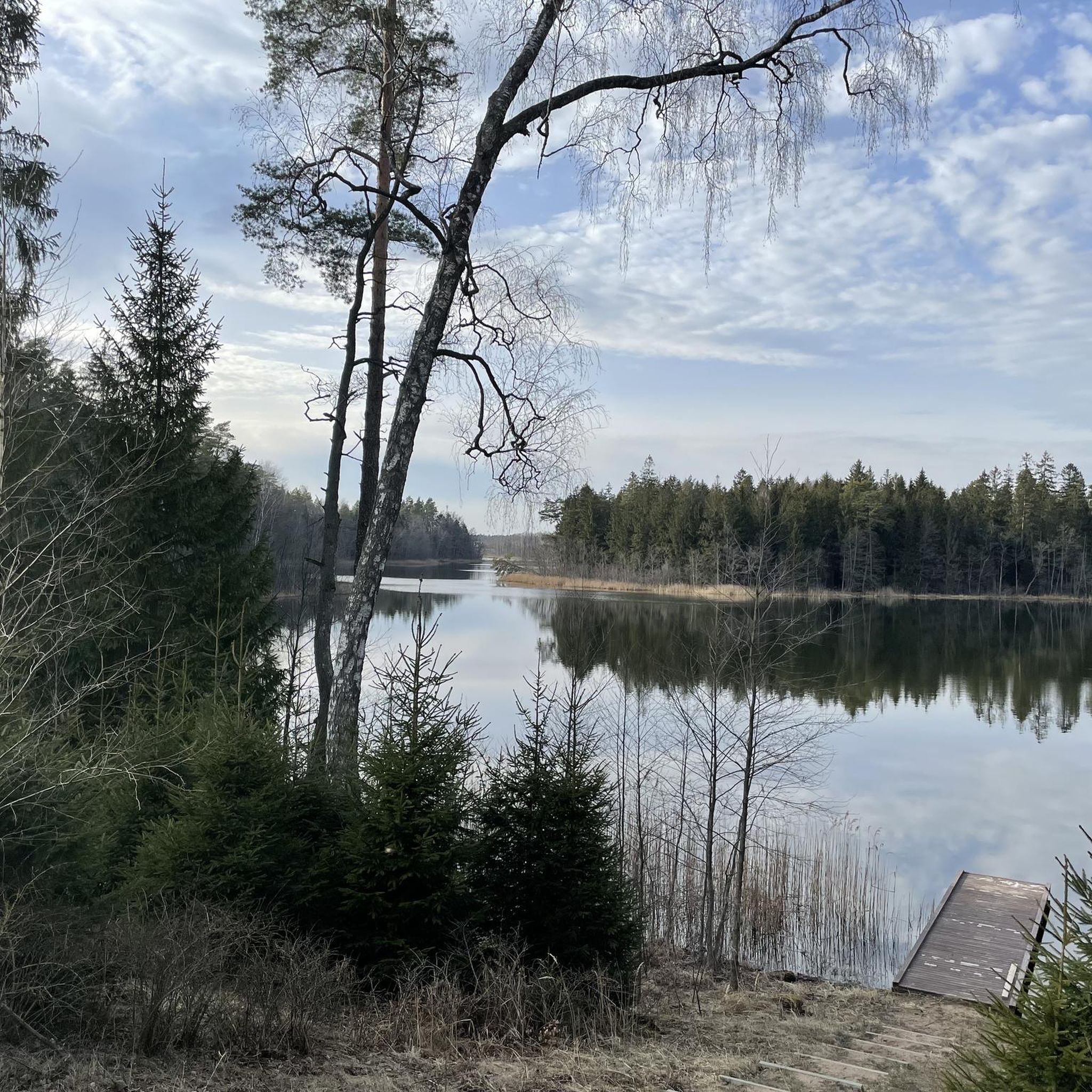
Road cycling routes around Kopanica are characterized by their scenic paths near a beautiful lake in the powiat augustowski region. The terrain primarily features gentle elevations and varied landscapes, including routes that pass through forested areas and open countryside. These paths offer a mix of moderate challenges suitable for road cyclists. The region's geography provides a pleasant backdrop for rides, with opportunities to cycle alongside natural water bodies.
Best road cycling routes around Kopanica
- The most popular road cycling route…
Last updated: July 6, 2026
4.8
(5)
80
riders
53.3km
02:48
230m
230m
Moderate road ride. Good fitness required. Some segments of this route may be unpaved and difficult to ride.
8
riders
16.7km
00:55
50m
50m
Moderate road ride. Great for any fitness level. Some segments of this route may be unpaved and difficult to ride.

Sign up for free
5.0
(1)
17
riders
25.8km
01:07
80m
80m
Moderate road ride. Great for any fitness level. Some segments of this route may be unpaved and difficult to ride.
5.0
(1)
7
riders
23.4km
00:59
70m
70m
Moderate road ride. Great for any fitness level. Some segments of this route may be unpaved and difficult to ride.
5.0
(1)
17
riders
48.3km
01:53
150m
150m
Moderate road ride. Great for any fitness level. Some segments of this route may be unpaved and difficult to ride.
Get access to more routes and recommendations from other explorers.
Sign up for free
Already have an account?
Our route recommendations are based on thousands of hikes, rides, and runs completed by other people on komoot.
Start today with a free account
Your next adventure awaits.
Login or Signup
Tips from the Community

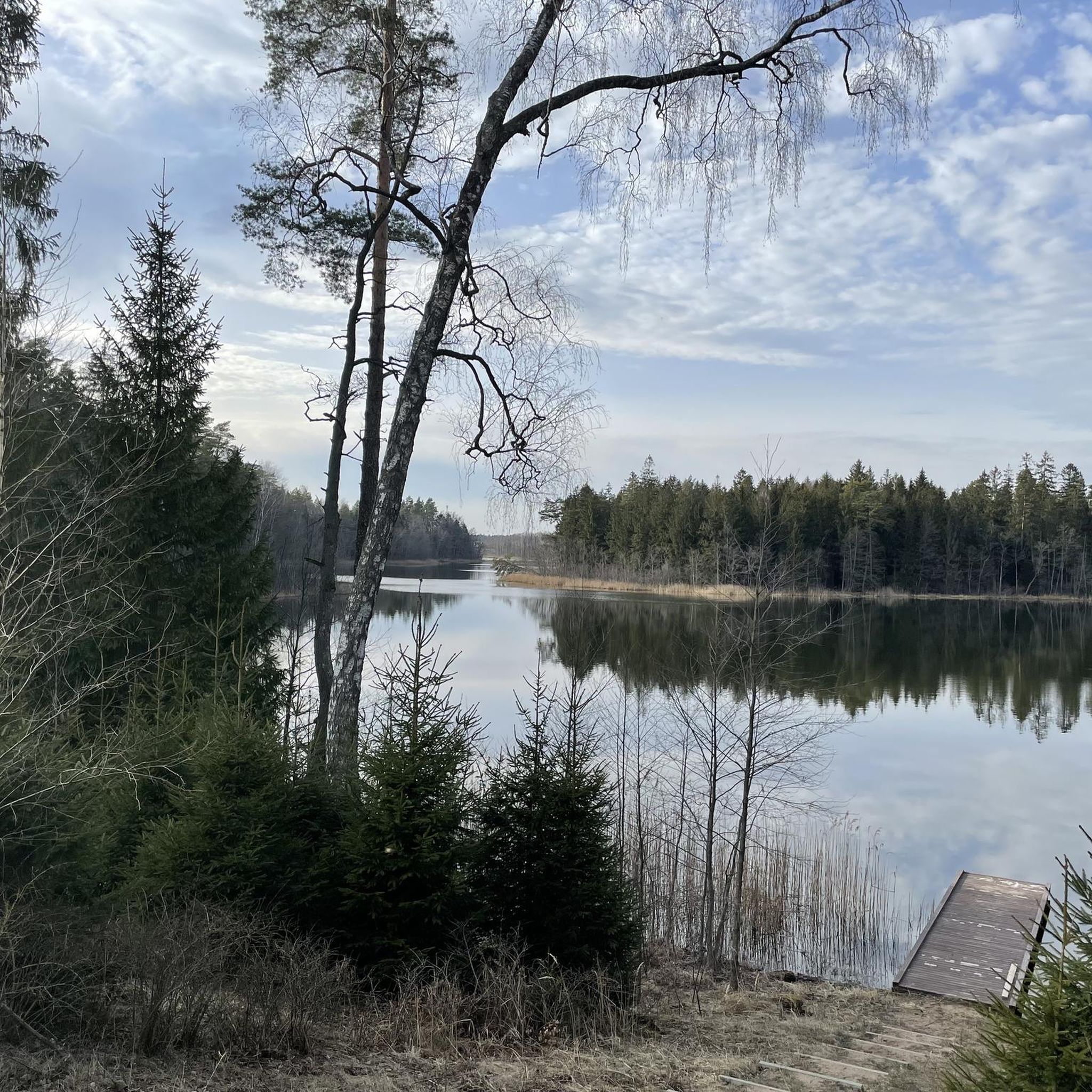
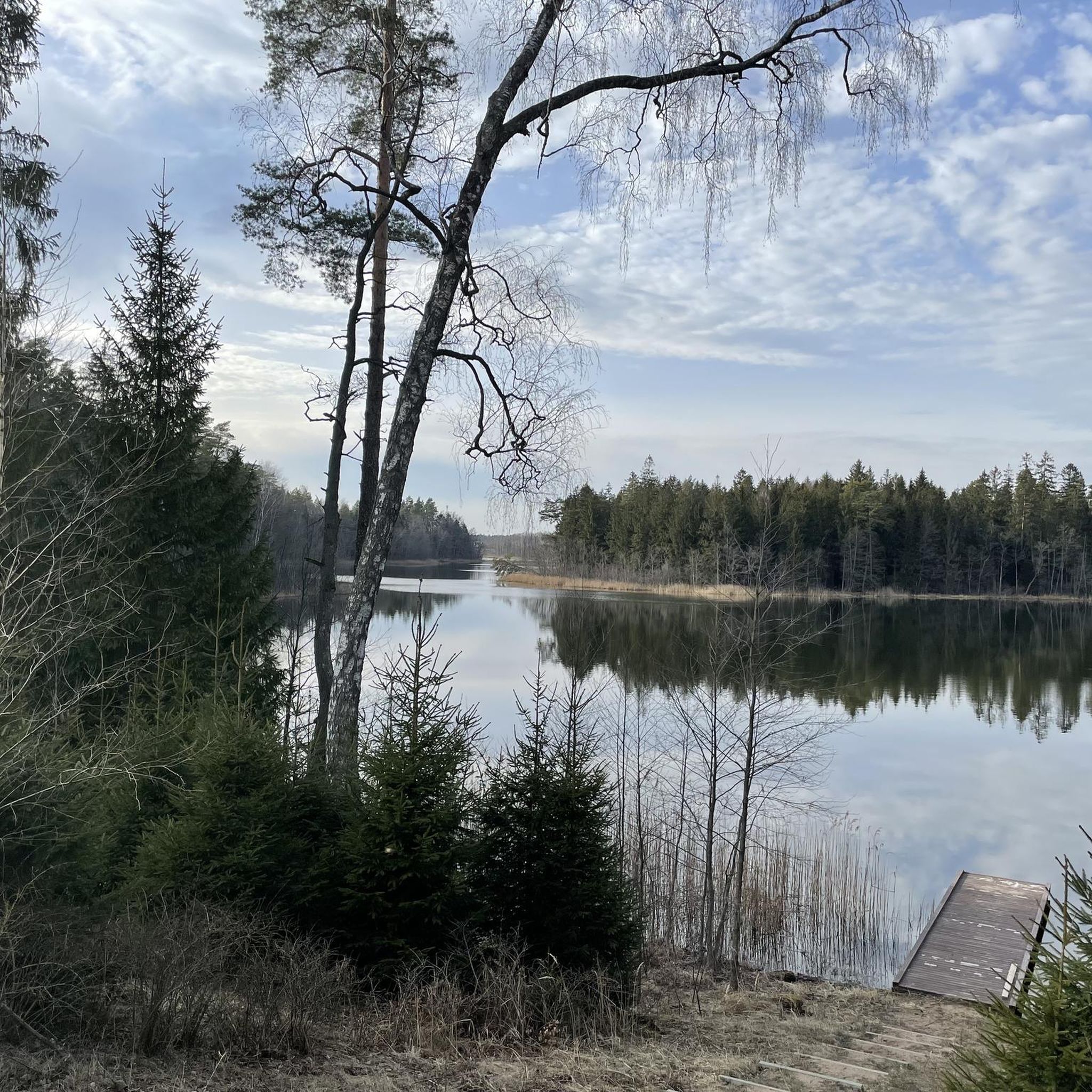
A quiet beach away from cars.
0
0
Wigry is beautiful in itself. The bike path around the lake is full of attractions and views.
0
0
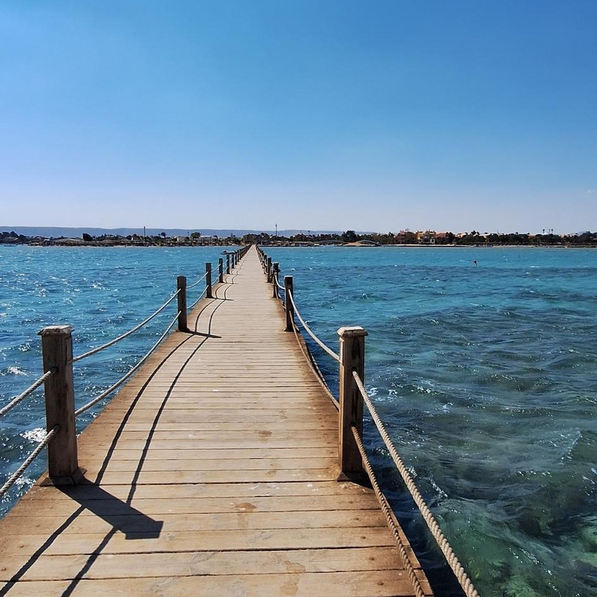
Great beach with a gentle descent
0
0
A atmospheric place, pleasant for cycling and hiking.
0
0
Coffee and delicious cake eaten with such a view.
0
0
Beautiful views and clean water.
0
0

Gorczyca Lock - It is located on the 57th kilometer of the canal, in the village of the same name, on the Orlewo Canal. There is a bridge over the lock, so there is no problem in finding it.
3
0
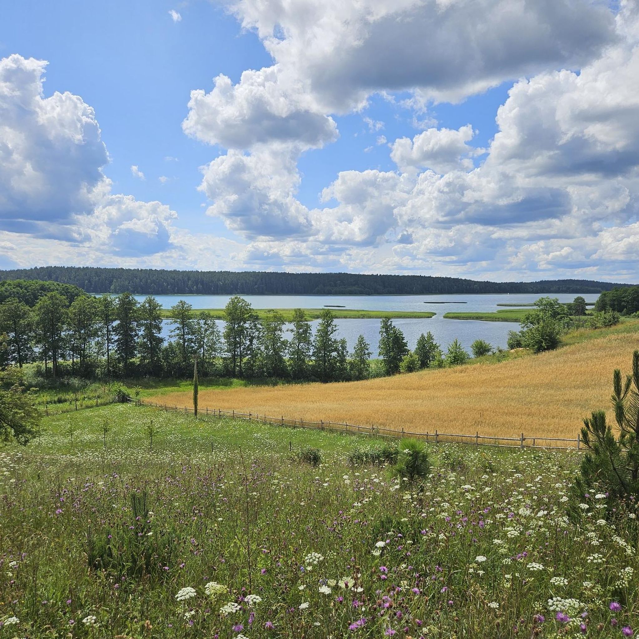
Driving along the western shore of Lake Serwy, we travel on an asphalt road among wonderful forest vegetation from the town of Sucha Rzeczka to the town of Serwy. Then it depends on which direction we will go.
2
1
Frequently Asked Questions
What kind of terrain can I expect when road cycling in Kopaonik National Park?
Kopaonik National Park offers a diverse and challenging terrain for road cyclists. You'll encounter high-altitude landscapes, including the Ravni Kopaonik plateau and peaks like Pančić's Peak, providing challenging ascents and descents with expansive panoramic views. The routes also wind through dense coniferous forests at higher elevations and beautiful beech and oak forests at lower altitudes. While many sections are well-paved, some parts may be unpaved and more challenging, requiring very good fitness.
How many road cycling routes are available in Kopaonik National Park?
There are over 10 road cycling routes available in Kopaonik National Park, offering a range of experiences. Most of these routes are classified as moderate, providing a good balance of challenge and scenic beauty for road cyclists.
Are there any particularly challenging road cycling routes in Kopaonik National Park?
Yes, Kopaonik is known for its challenging routes. For instance, the Staw – Omułówek loop from Krusznik is a moderate 51.6 km (32.1 miles) trail with significant elevation gain, often taking around 2 hours 10 minutes. The region's high-altitude scenery and varied terrain ensure demanding rides for those seeking a test of endurance.
What are some popular road cycling routes in Kopaonik National Park?
Among the popular choices, the View of Lake Wigry in Bryzgiel loop from Kopanica is a favorite, covering 16.7 km (10.4 miles) with moderate elevation changes. Another well-liked route is the Sucha Rzeczka loop from Tobołowo, a moderate 25.8 km (16.0 miles) path featuring gentle climbs and descents.
What do other road cyclists say about the routes in Kopaonik National Park?
The road cycling routes in Kopaonik National Park are highly rated by the komoot community, with an average score of 5.0 stars from more than 4 reviews. Cyclists often praise the varied terrain, scenic views, and the challenging nature of the rides. Over 80 road cyclists have used komoot to explore the park's diverse landscapes.
Are there any circular road cycling routes in Kopaonik National Park?
Yes, many of the routes in Kopaonik National Park are designed as loops, offering convenient circular rides. Examples include the View of Lake Wigry in Bryzgiel loop from Kopanica and the Sucha Rzeczka loop from Tobołowo, allowing you to start and finish at the same point.
What kind of landscapes will I see on a road cycling tour in Kopaonik National Park?
Road cycling in Kopaonik National Park offers stunning high-altitude scenery, including expansive plateaus and majestic peaks. You'll ride through diverse forests, from dense coniferous trees at higher elevations to beautiful beech and oak forests lower down. The region also features rivers and thermal springs, adding to the natural beauty and providing interesting points along your journey.
Are there any easy road cycling routes for beginners in Kopaonik National Park?
While Kopaonik is known for its challenging terrain, there is at least one route classified as easy. The network offers options for different ability levels, so beginners can find suitable paths to enjoy the scenic beauty without overly strenuous climbs.
What is the typical duration for road cycling routes in Kopaonik National Park?
The duration of road cycling routes varies depending on their length and difficulty. For example, the View of Lake Wigry in Bryzgiel loop from Kopanica typically takes around 55 minutes, while the longer Staw – Omułówek loop from Krusznik can take approximately 2 hours 10 minutes. More challenging routes with significant elevation gain may require several hours to complete.
What are the elevation changes like on road cycling routes in Kopaonik National Park?
The elevation changes in Kopaonik National Park can be significant, catering to cyclists who enjoy a demanding ride. Routes feature both challenging ascents and descents, with some paths like the Staw – Omułówek loop from Krusznik having over 210 meters (690 feet) of elevation gain. Even moderate routes like the Sucha Rzeczka loop from Tobołowo include gentle climbs and descents.
Are there any road cycling routes that offer views of lakes or other water bodies in Kopaonik National Park?
Yes, some routes provide scenic views of water bodies. For instance, the View of Lake Wigry in Bryzgiel loop from Kopanica offers beautiful views of Lake Wigry. The region's natural features also include rivers and thermal springs, which can be encountered along various routes.
Most popular routes around Kopanica

Get inspired with the komoot mobile app


Explore more
Browse the best Road cycling routes in other regions.
