The best road cycling routes around Lake del Miserin
4.7
(6)
102
riders
1
ride
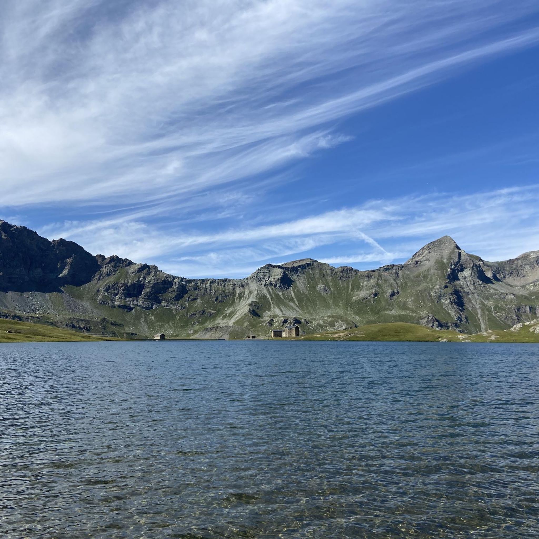
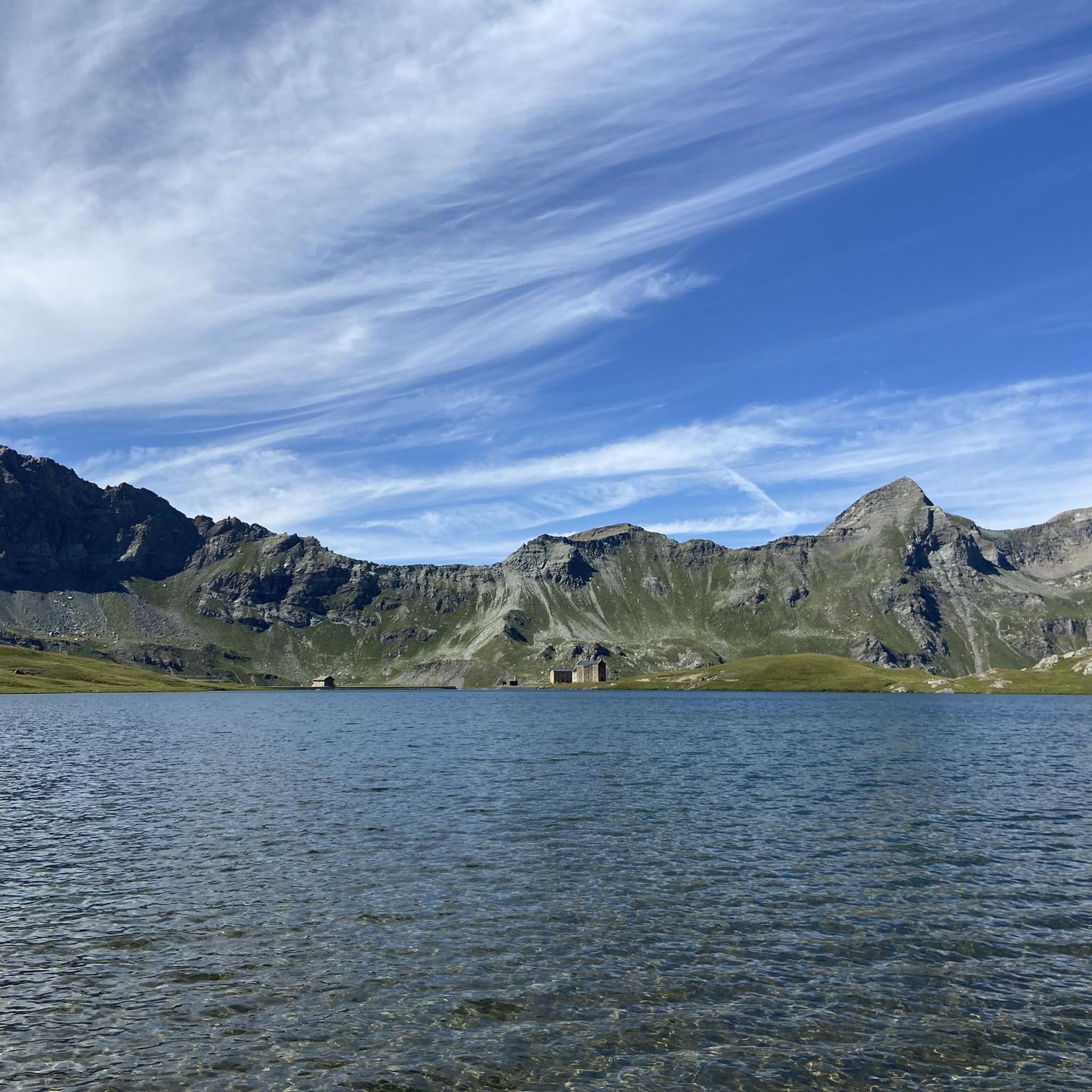
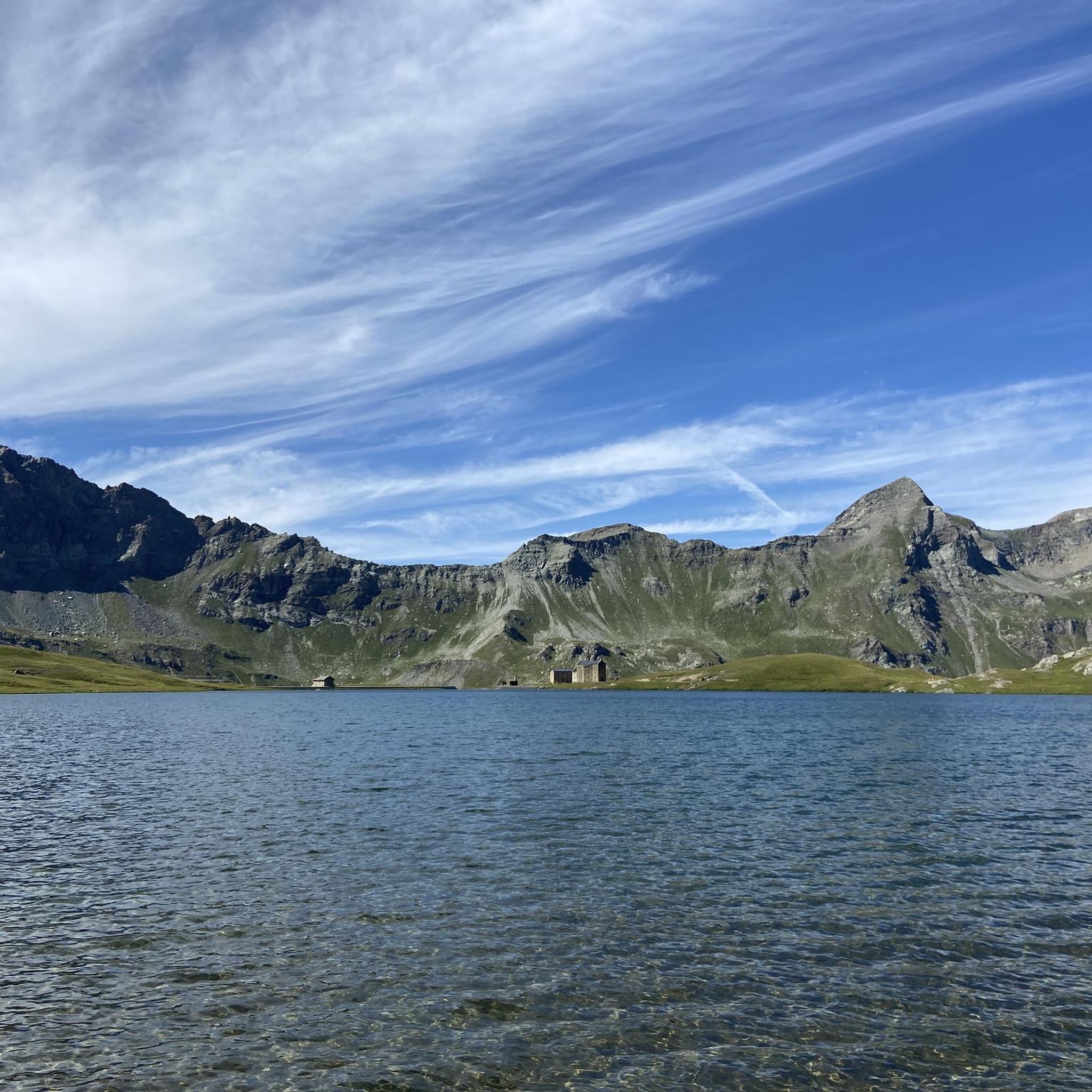
Road cycling routes around Lake del Miserin navigate the challenging alpine terrain of the upper Champorcher Valley in the Aosta Valley, Italy. The region is characterized by significant elevation gains, with routes often transitioning from paved roads through hamlets to unpaved sections, including ancient paths like the Strada Reale di Caccia. Cyclists encounter continuous climbs, some exceeding a 10% grade, set against a backdrop of high mountain vistas and pristine natural environments. The varied surfaces, from asphalt to gravel and…
Last updated: July 8, 2026
4.3
(3)
80
riders
51.0km
02:54
1,130m
1,130m
Hard road ride. Very good fitness required. Mostly well-paved surfaces and easy to ride.
5.0
(3)
13
riders
67.0km
03:36
1,290m
1,290m
Hard road ride. Very good fitness required. Mostly well-paved surfaces and easy to ride.

Sign up for free
9
riders
99.4km
06:10
2,700m
2,700m
Hard road ride. Very good fitness required. Mostly well-paved surfaces and easy to ride.
Our route recommendations are based on thousands of hikes, rides, and runs completed by other people on komoot.
Start today with a free account
Your next adventure awaits.
Login or Signup
Popular around Lake del Miserin
Tips from the Community

Leaving aside the chaos of the center, it is a pleasant city, rich in history and ideas for trekking and/or cycling.
0
0

Ridiculous climb, road and valley, first 4 km with some hard but balanced stretches of flat ground, the last 7 km are tough. Very degraded asphalt, with eight sectors where the road has been restored after landslides, then asphalt disappeared. There are 8 drainage grates to watch out for, they cross the road and are made of iron rods that fit a 25 tire comfortably. With a road bike, to be avoided on days of uncertain weather, the road sees the constant presence of stones and armrests, with water I think it's a mess.
0
0
Climb, road and valley are steep, first 4 km with some hard but balanced stretches of flat ground, the last 7 km are tough. The asphalt is quite degraded, with eight sectors where the road has been restored after landslides, so the asphalt has disappeared. There are eight drainage grates to watch out for, they cross the road and are made of iron rods that can easily fit a 25 tire. With a road bike, to be avoided on days of uncertain weather, the road has the constant presence of stones and armrests, with water I think it's a mess.
0
0
Climb, road and valley are steep, first 4 km with some hard but balanced stretches of flat ground, the last 7 km are tough. The asphalt is quite degraded, with eight sectors where the road has been restored after landslides, so the asphalt has disappeared. There are eight drainage grates to watch out for, they cross the road and are made of iron rods that can easily fit a 25 tire. With a road bike, to be avoided on days of uncertain weather, the road has the constant presence of stones and armrests, with water I think it's a mess.
1
0

for updated info due to recent landslides on the road read here ➡️ http://www.rifugiopontese.it/ and/or contact the Pontese Refuge which can be reached on foot from the Sernior area
0
0

The route is no longer accessible, the electricity company no longer even allows hikers (you risk a fine for infringement of private property)
1
0

It is the main town of the Orco Valley. It is a small town with an interesting historical center. From here up, the road does not stop climbing.
0
0

Pont Canavese is located like an enchanted village at the foot of the mountains, located between the Soana valley and the Orco valley. Its towers and stone houses clearly convey its medieval past. Right below this suggestive location stands the hermitage of Santa Maria in Doblazio, an ancient parish church that dates back to around the year one thousand, giving an aura of antiquity to the village.
1
0
Frequently Asked Questions
What kind of terrain can I expect on road cycling routes around Lake del Miserin?
Road cycling routes in the Lake del Miserin area are known for their varied and challenging terrain. You'll encounter initial sections of paved roads, often leading through charming hamlets, which then transition to unpaved sections, including ancient paths like the Strada Reale di Caccia. The surfaces can range from asphalt to gravel and natural dirt roads, with some particularly difficult segments featuring crumbling roads or large stones. This mix requires adaptability and a suitable road bike.
Are there any easy or beginner-friendly road cycling routes near Lake del Miserin?
The road cycling routes around Lake del Miserin are generally considered demanding, characterized by significant elevation gains and continuous climbs, some exceeding a 10% grade. The area is more suited for well-trained cyclists seeking substantial challenges in a high mountain environment. There are no routes specifically classified as easy or beginner-friendly within this guide.
What are some challenging road cycling routes in the Lake del Miserin region?
The region offers several challenging routes for experienced road cyclists. For instance, the Teleccio Dam and Lake – Locana loop from Pianetto is a difficult 99.5 km trail with over 2700 meters of elevation gain. Another demanding option is the View of Pont Canavese – Truc Bertot loop from Valprato Soana, covering 67.5 km with over 1300 meters of ascent.
What is the best time of year for road cycling around Lake del Miserin?
The best time for road cycling around Lake del Miserin is typically during the summer months, after the snowmelt. This period offers more accessible routes and favorable weather conditions for tackling the high-altitude climbs. However, always be prepared for changing alpine weather, even in summer.
Are there any circular road cycling routes available?
Yes, several routes in the area are designed as loops. For example, the Orco Stream – Historic centre of Cuorgnè loop from Valprato Soana is a 50.9 km circular route. Another option is the Vista sul forte di Bard loop from Champorcher, which is a 25.2 km loop.
What kind of views and natural features can I expect while cycling?
The region offers breathtaking alpine scenery. You'll be treated to stunning mountain vistas, including views of peaks like Rosa dei Banchi and Mont Glacier. The landscape opens into lush valleys, especially after the snowmelt. The routes also pass through the pristine natural environments of Mont Avic Park, known for its unspoiled landscapes and green pastures.
Are there any historical or cultural landmarks along the road cycling routes?
Yes, the area is rich in history and culture. Portions of the cycling routes follow the ancient Strada Reale di Caccia (Royal Hunting Road), adding a historical dimension to your ride. Near Lake del Miserin, you can find the historic Sanctuary of Notre-Dame-des-Neiges, a significant attraction and destination for a traditional pilgrimage.
Are there places to rest or get refreshments along the routes?
Yes, mountain huts provide opportunities for rest and refreshments. Rifugio Miserin is located directly by Lake del Miserin, offering a welcome stop. Further down the valley, Rifugio Dondena, a former royal hunting lodge, serves as another important stop and a starting point for various trails.
What do other road cyclists say about the routes around Lake del Miserin?
The road cycling routes around Lake del Miserin are highly rated by the komoot community, with an average score of 4.6 stars from over 6 reviews. Cyclists often praise the challenging nature of the climbs, the stunning alpine landscapes, and the unique experience of transitioning from paved to unpaved historical roads.
Is public transport available to reach the cycling areas around Lake del Miserin?
While specific public transport options directly to all starting points of the routes might be limited due to the remote alpine nature of the region, the Aosta Valley generally has bus services connecting major towns. It's advisable to check local public transport schedules for connections to areas like Champorcher or Valprato Soana, which serve as common starting points for these routes.
Where can I find parking for road cycling trails near Lake del Miserin?
Parking availability will vary depending on your chosen starting point. For routes originating from hamlets like Champorcher or Valprato Soana, you can typically find parking in or near these villages. It's recommended to research specific parking options for your chosen route's trailhead before your trip, especially during peak season.
What should I wear for road cycling in the Lake del Miserin region?
Given the high altitude and varied terrain, it's crucial to dress in layers. Even in summer, temperatures can drop significantly, especially at higher elevations or in the shade. Be prepared for sudden weather changes, including rain or wind. Essential gear includes a helmet, appropriate cycling attire, gloves, sunglasses, and potentially a windproof or waterproof jacket.

Get inspired with the komoot mobile app


Explore more
Browse the best Road cycling routes in other regions.
