The best mountain hikes around Lac du Mont Cenis
5.0
(4)
28
hikers
5
hikes
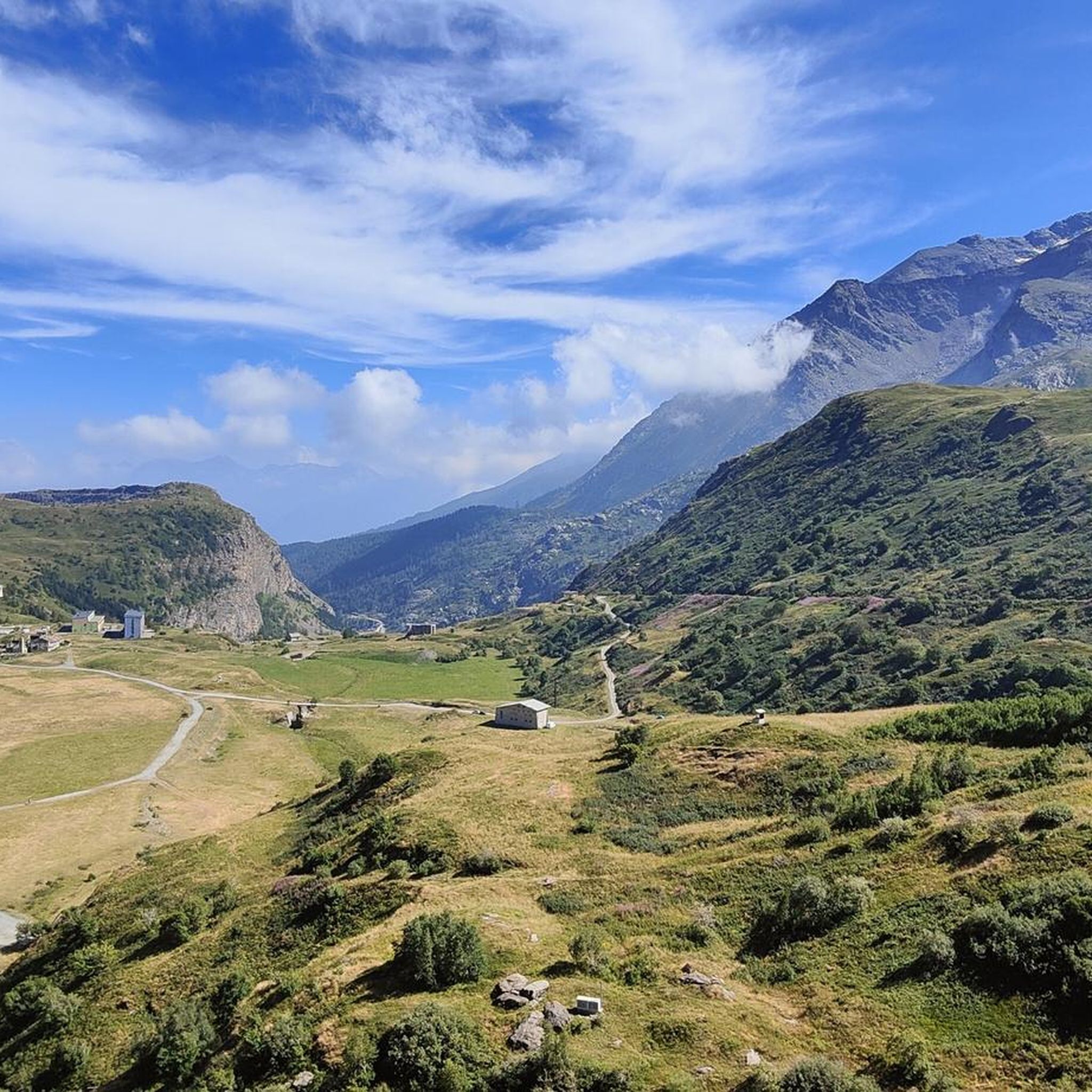
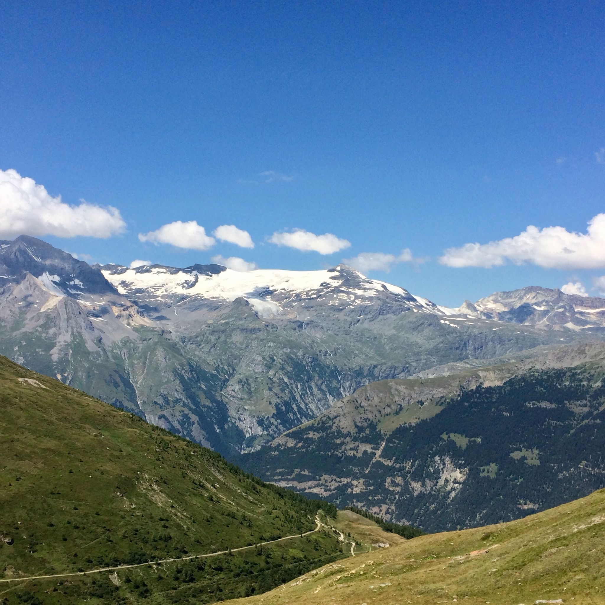
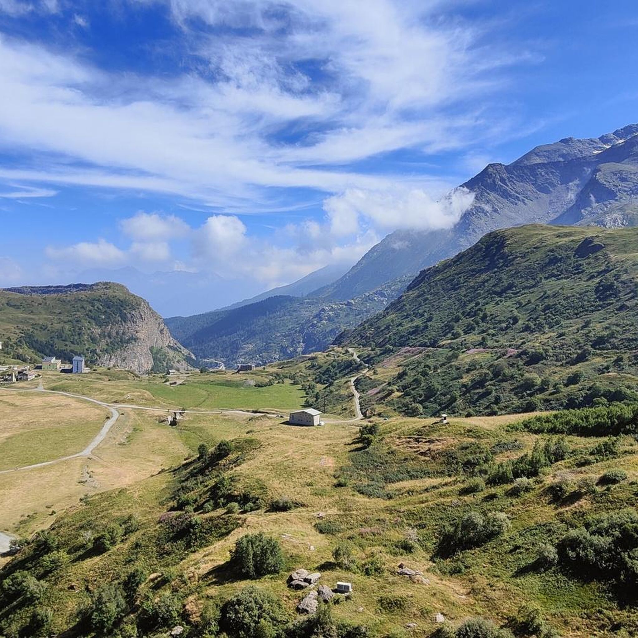
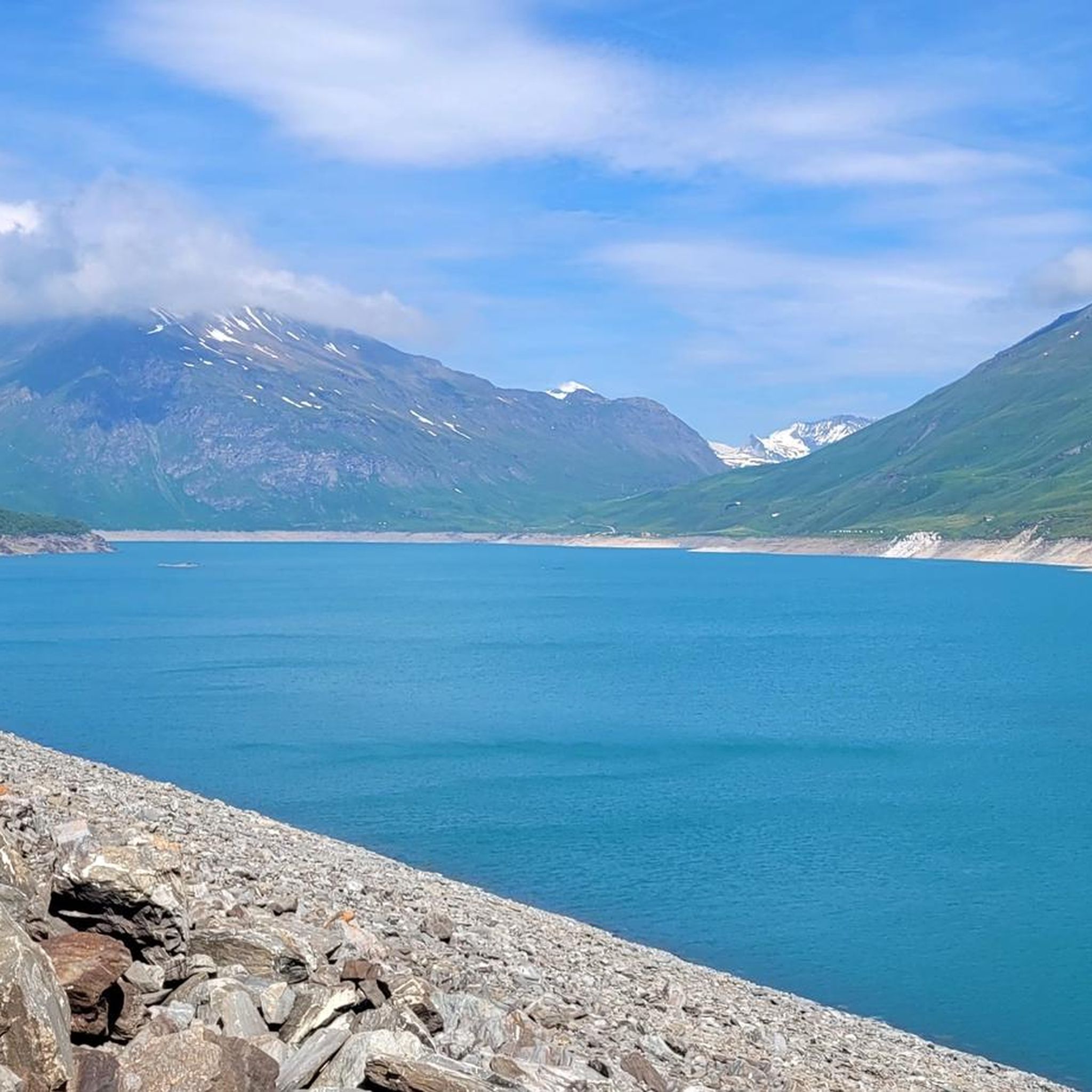
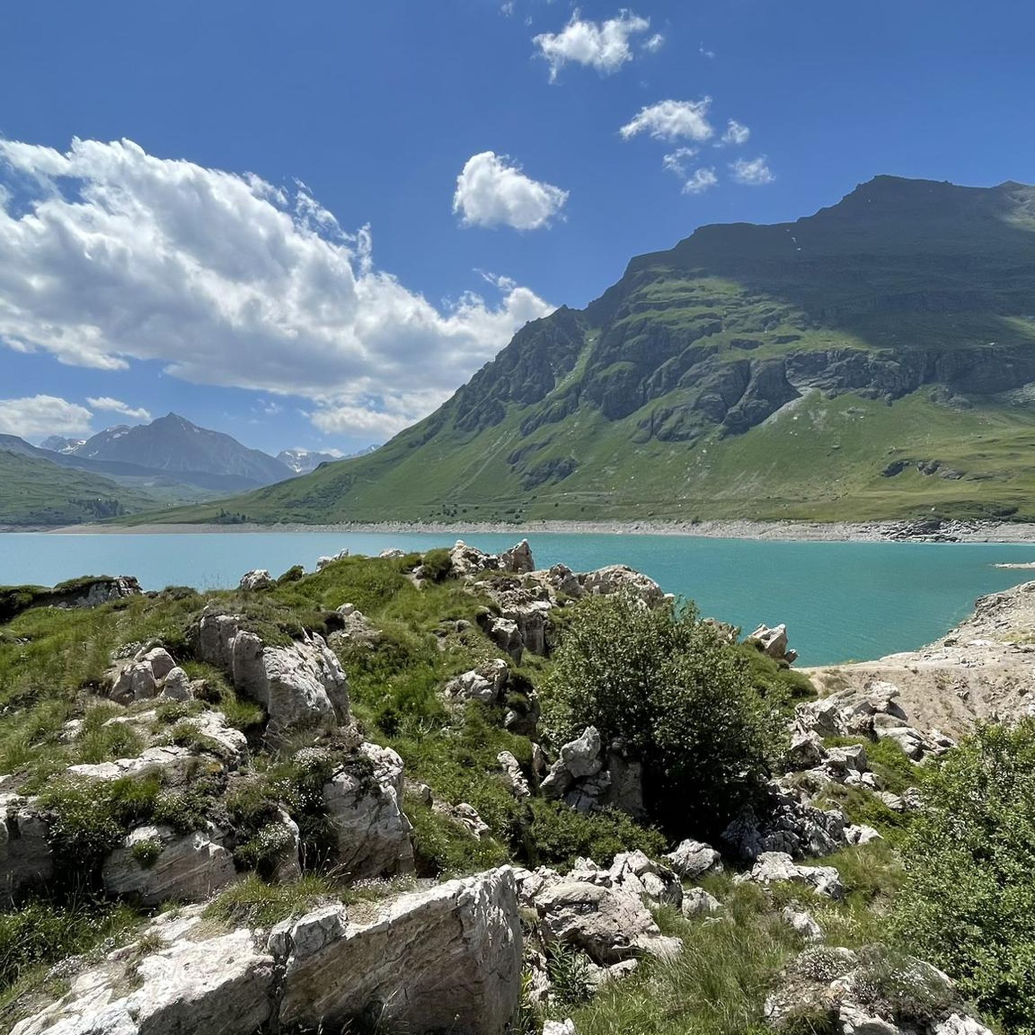
Mountaineering around Lac du Mont Cenis offers routes through high alpine terrain, characterized by rugged peaks, mountain passes, and glacial lakes. The region, situated in the Cottian Alps, features a landscape shaped by ancient glaciers, resulting in varied elevation profiles and panoramic vistas. Mountaineering routes here often traverse rocky slopes, open meadows, and areas with historical fortifications. The area provides a range of challenges for those seeking alpine experiences.
Best mountaineering routes around Lac du Mont Cenis
- The most popular…
Last updated: July 9, 2026
5.0
(1)
8
hikers
Hard mountaineering route. Very good fitness required. Mostly accessible paths. Sure-footedness required.
5.0
(2)
6
hikers
15.1km
07:23
1,120m
1,120m
Hard mountaineering route. Very good fitness required. Sure-footedness, sturdy shoes and alpine experience required.

Sign up for free
5.0
(1)
3
hikers
11.0km
04:28
630m
630m
Moderate mountaineering route. Good fitness required. Mostly accessible paths. Sure-footedness required.
8
hikers
3.17km
01:56
270m
270m
Hard mountaineering route. Great for any fitness level. Sure-footedness, sturdy shoes and alpine experience required.
3
hikers
15.8km
07:19
1,330m
1,330m
Hard mountaineering route. Very good fitness required. Mostly accessible paths. Sure-footedness required.
Our route recommendations are based on thousands of hikes, rides, and runs completed by other people on komoot.
Start today with a free account
Your next adventure awaits.
Login or Signup

Tips from the Community

Lake Savine is a unique sight; we saw it covered in snow at the end of September! If you're heading towards Colle Clapier or the bivouac of the same name, we recommend crampons (especially for the descent, which can be icy in some places). In winter, you may also need snowshoes.
0
0

Colle Clapier, located in the Cottian Alps, is a historic Alpine pass that connects Italy and France. At 2,491 meters above sea level, it offers breathtaking views and a route full of history, considered by some scholars to be one of the possible passages crossed by Hannibal during his famous crossing of the Alps.
0
0

Nice tour to the Lake starting from Le Verney
0
0

Very comfortable, dormitory and room for 2 with 140 bed
0
0

Perfect family trip to train the legs for the children too... once over the top this fantastic mountain lake emerges
0
0

Easy to reach, a spectacle of nature not to be missed
1
0
Refuge that can be reached by mtb starting from the Moncenisio lake, or on foot during the various excursions in the valley
0
0
They can be visited by setting the return variant from Lac de Savine
0
0
Frequently Asked Questions
How many mountaineering routes are available around Lac du Mont Cenis?
There are 5 distinct mountaineering routes documented around Lac du Mont Cenis, offering a range of experiences from moderate to difficult.
Are there any easier mountaineering routes for beginners?
While most routes in the Lac du Mont Cenis area are classified as difficult, there is one moderate option: the Col de Sollières – Mont Froid loop from Ancien Fort de Pattacreuse. This 6.8-mile (11.0 km) trail leads through mountain passes and historical sites, typically completed in about 4 hours 28 minutes.
What are some challenging mountaineering routes in the area?
For those seeking a significant challenge, the Col de Bramanette (2855 m) loop from Le Cernay is a difficult route covering 15.7 miles (25.2 km) with over 1300 meters of elevation gain. Another demanding option is the Refuge du Petit Mont Cenis – Signal of Petit Mont Cenis loop from Refuge du Petit Mont Cenis, an 8.4-mile (13.6 km) path with over 1000 meters of ascent, offering expansive alpine views.
Can I find circular mountaineering routes around Lac du Mont Cenis?
Yes, several routes in the area are circular. For example, the popular Petit Mont Cenis Refuge – Lac de Savine loop from Ancien Fort de Pattacreuse is a 10.3-mile (16.6 km) difficult trail offering views of Lac de Savine. Another circular option is the Col de Sollières – Mont Froid loop from Ancien Fort de Pattacreuse.
What kind of elevation gain can I expect on these routes?
The mountaineering routes around Lac du Mont Cenis feature varied elevation profiles. You can expect ascents ranging from around 260 meters on routes like the Via Ferrata des Cascades loop from Novalesa, up to over 1300 meters for more strenuous treks such as the Col de Bramanette (2855 m) loop from Le Cernay.
Where can I find panoramic viewpoints during my mountaineering trip?
Many routes offer stunning panoramic views of the alpine landscape. The Refuge du Petit Mont Cenis – Signal of Petit Mont Cenis loop provides significant elevation gain towards the Signal of Petit Mont Cenis, offering expansive alpine vistas. The region itself is known for its rugged peaks and glacial lakes, ensuring scenic outlooks.
What attractions or landmarks can I see near the mountaineering routes?
The area around Lac du Mont Cenis is rich in natural beauty and historical sites. You can explore the impressive Lake Mont Cenis and the Mont Cenis Dam. Some routes also pass by historical fortifications, adding a cultural dimension to your alpine adventure.
What do other mountaineers appreciate most about the routes in Lac du Mont Cenis?
The mountaineering routes in Lac du Mont Cenis are highly rated by the komoot community, with an average score of 5.0 stars. Mountaineers often praise the varied terrain, which includes high mountain passes, glacial lakes, and historical fortifications, offering a diverse and rewarding alpine experience.
Is parking available at the trailheads for these routes?
Many mountaineering routes around Lac du Mont Cenis start from accessible points like Ancien Fort de Pattacreuse or Refuge du Petit Mont Cenis, where parking is typically available. It's advisable to check specific trailhead information for detailed parking options before your trip.
What are the best seasons for mountaineering around Lac du Mont Cenis?
The best season for mountaineering in the Lac du Mont Cenis region is generally from late spring to early autumn (June to September) when the snow has largely melted, and weather conditions are more stable. This period offers the most favorable conditions for traversing high alpine terrain and enjoying the glacial lakes.
Are there any multi-day mountaineering options in the region?
While the listed routes are primarily day tours, the extensive high alpine terrain and network of trails in the Cottian Alps, where Lac du Mont Cenis is situated, lend themselves to linking multiple routes for multi-day treks. Planning such an adventure would involve combining several of the challenging routes and considering overnight stays in refuges or designated camping areas.
What are the typical distances for mountaineering routes here?
Mountaineering routes around Lac du Mont Cenis vary in length. You can find shorter, more intense routes like the Via Ferrata des Cascades loop at about 3.2 miles (5.1 km), up to longer, more demanding treks such as the Petit Mont Cenis Refuge – Lac de Savine loop, which covers 10.3 miles (16.6 km).
Most popular routes around Lac du Mont Cenis
Most popular attractions around Lac du Mont Cenis

Get inspired with the komoot mobile app


Explore more
Browse the best Mountain Hikes & Routes in other regions.
