The best gravel rides around Réservoir De Pierre Percée
5.0
(4)
29
riders
6
rides
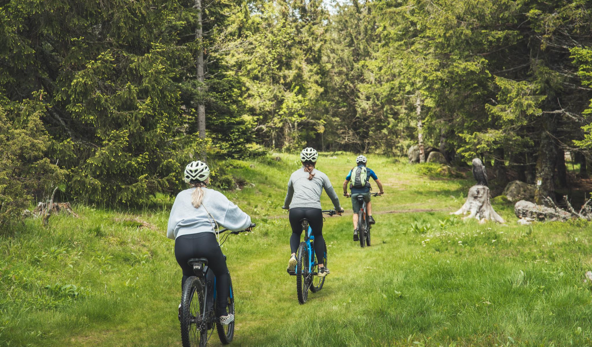
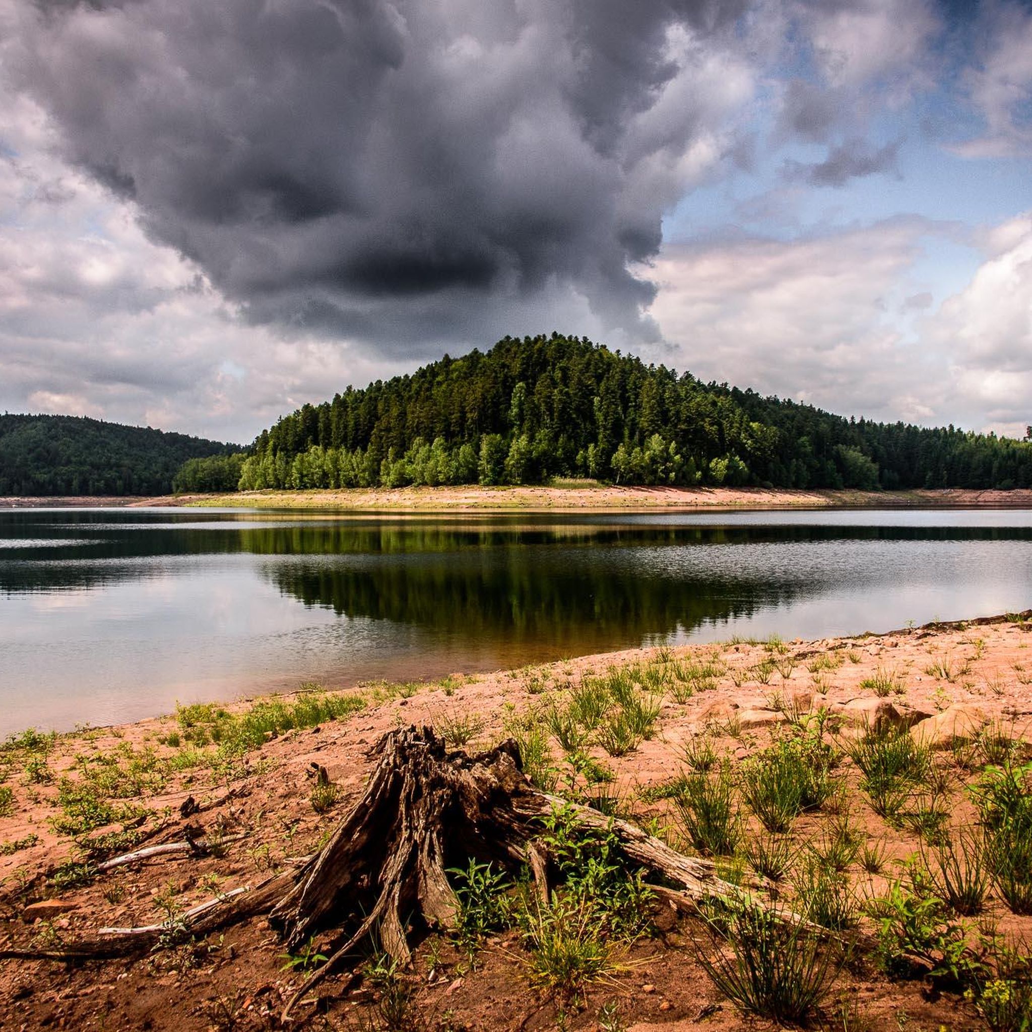
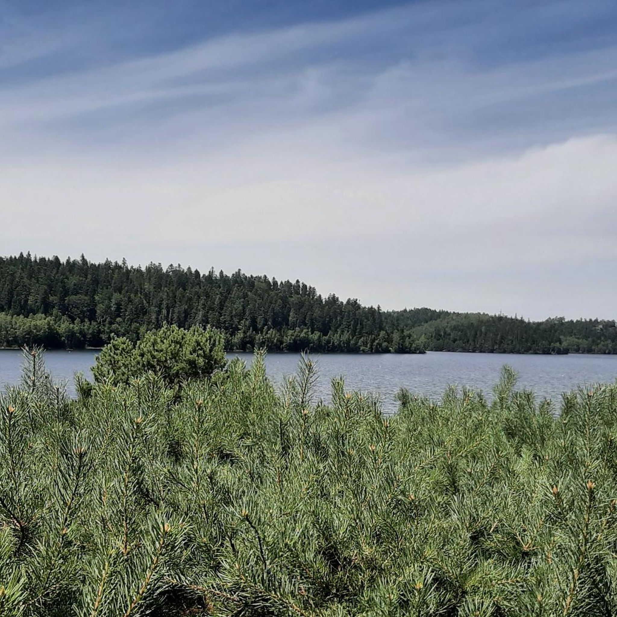
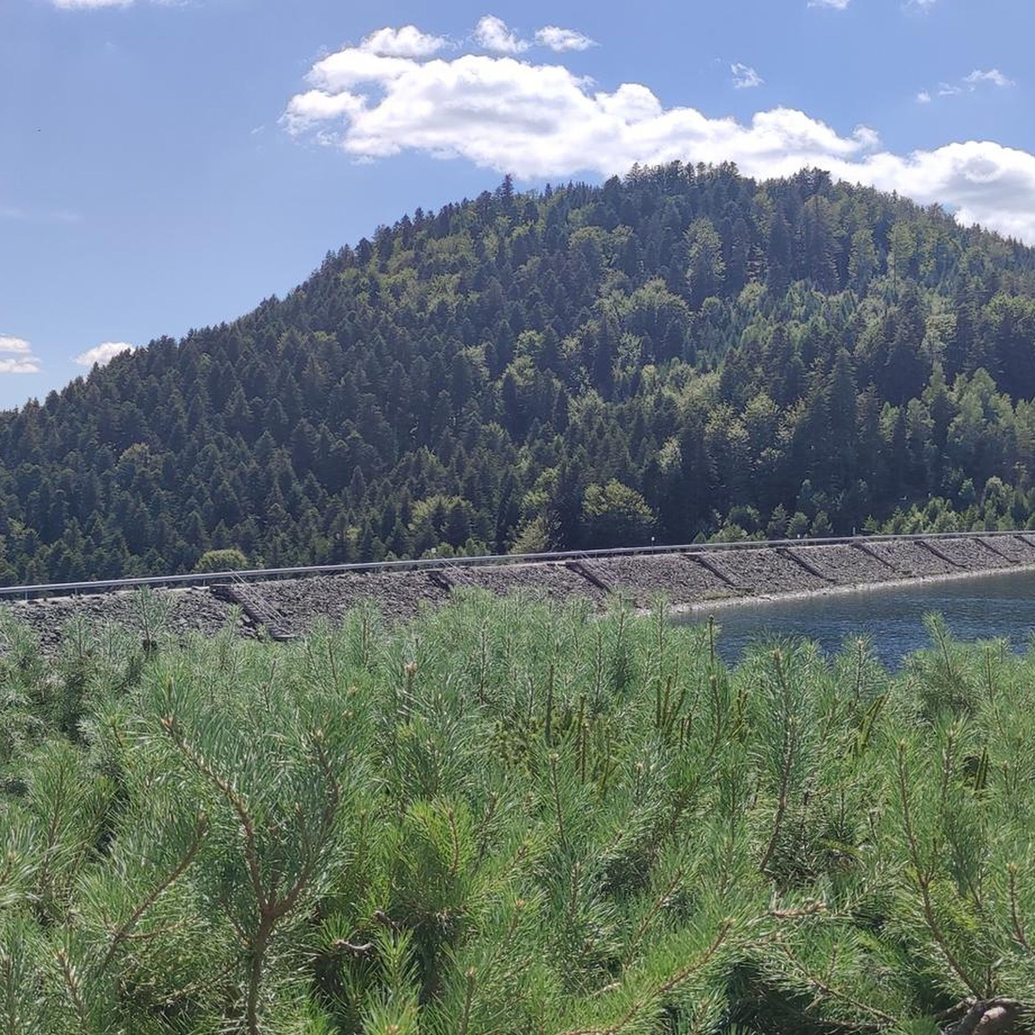
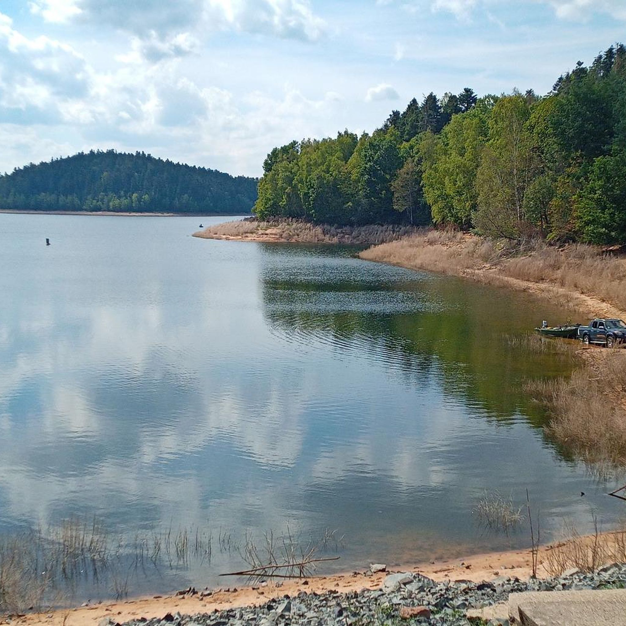
Gravel biking around Réservoir De Pierre Percée offers a diverse landscape characterized by dense forests, rolling hills, and the expansive reservoir itself. The terrain includes a mix of forest tracks, gravel paths, and some paved sections, providing varied surfaces for gravel cyclists. Elevation changes are present throughout the region, ranging from moderate climbs to more challenging ascents, particularly on longer routes. The area's natural features, including lakes and historical points, define the riding experience.
Best gravel bike trails around Réservoir…
Last updated: July 6, 2026
5.0
(2)
9
riders
44.3km
03:01
520m
520m
Hard gravel ride. Very good fitness required. Mostly paved surfaces. Suitable for all skill levels.
5.0
(1)
6
riders
46.0km
03:07
620m
610m
Hard gravel ride. Very good fitness required. Mostly paved surfaces. Suitable for all skill levels.

Sign up for free
2
riders
24.6km
01:39
340m
340m
Moderate gravel ride. Good fitness required. Mostly paved surfaces. Suitable for all skill levels.
1
riders
18.4km
01:12
240m
240m
Moderate gravel ride. Good fitness required. Mostly paved surfaces. Suitable for all skill levels.
6
riders
80.0km
06:11
1,660m
1,660m
Hard gravel ride. Very good fitness required. You may need to push your bike for some segments of this route.
Our route recommendations are based on thousands of hikes, rides, and runs completed by other people on komoot.
Start today with a free account
Your next adventure awaits.
Login or Signup
Popular around Réservoir De Pierre Percée
Other adventures around Réservoir De Pierre Percée

Tips from the Community

Beautiful hiking destination, there is also a cycling route
0
0

Beautiful climb and lovely view at the pass - Altitude 728m Restaurants (inns) at the pass
0
0

Situated in the heart of the Vosges, this dam, together with Lac de la Plaine, forms an important water reservoir. The dam was built to feed Lac de Pierre-Percée via an underground system. The climb up to it is gradual and rewards you with a view of the peaceful Lac de la Plaine. The road along the lake is ideal for a breather, with little traffic and lots of nature. Perfect for a short break or a photo opportunity during your ride.
9
0
"The Mairie de Badonviller was originally built in 1811, during the Napoleonic era, and served as the administrative centre of the young municipality. After being badly damaged during the First World War, the building was rebuilt in 1924. "Located on the edge of the Vosges in the Meurthe-et-Moselle department, Badonviller is a village with a turbulent history. In the 19th century, it became a local centre thanks to the flourishing faience industry. But it was during the First World War that Badonviller became known nationwide. On 12 August 1914, the village was one of the first French municipalities to be occupied and pillaged by Bavarian troops. This event was widely reported in the French press and made Badonviller a symbol of German brutality. The village was badly damaged during the fighting and later partially rebuilt. Today, monuments, the necropolis and the townscape bear witness to this turbulent period. Badonviller is part of the 'sentiers de mémoire' — memorial routes that keep the history of the war in the Vosges alive."
6
0
"The Église Saint-Martin in Badonviller is a rare example of religious architecture in the Louis XVI style (1788). Although it is of Romanesque origin, its elegant façade is particularly striking, which is one of the few remaining examples of this style in the Lorraine region. Together with the Chapel of the Visitation in Nancy, this church forms a unique duo. The church was badly damaged during the First World War and partially rebuilt afterwards.
6
0
Harbouey, a peaceful village in the Meurthe-et-Moselle, is steeped in history. It was almost completely destroyed during the First World War, and the current Saint-Pierre church was only rebuilt in the 1920s. But Harbouey also has heritage from before that time: a 16th-century castle and characterful 17th-century houses bear witness to a deep-rooted past.
6
0

The spring is located a little further up the hiking trail toward the road. You can hear the water splashing loudly from the trail.
1
0

Frequently Asked Questions
How many gravel bike trails are available around Réservoir De Pierre Percée?
You'll find 8 gravel bike routes in the Réservoir De Pierre Percée area on komoot. These routes offer a diverse range of experiences, from moderate loops to more challenging long-distance rides.
What kind of terrain can I expect on gravel bike trails around Réservoir De Pierre Percée?
The terrain around Réservoir De Pierre Percée is characterized by dense forests, rolling hills, and the expansive reservoir itself. You'll encounter a mix of forest tracks, gravel paths, and some paved sections. Elevation changes are common, ranging from moderate climbs to more challenging ascents on longer routes.
Are there any easy or family-friendly gravel bike routes?
While there are no routes specifically categorized as 'easy' in this selection, there are 3 moderate routes available. For a less strenuous option, consider the Lac de la Plaine – Lake La Plaine loop from Fenneviller, which is 14.9 miles (23.9 km) and leads through woodlands and along the lake shore. Another moderate choice is the Lac de la Plaine – Lake La Plaine loop from Celles-sur-Plaine.
What are some challenging gravel bike routes for experienced riders?
For experienced gravel bikers seeking a challenge, the region offers several difficult routes. The Rascal's Head – Tête du Coquin Summit loop from Senones is a demanding 80.2 km (49.8 miles) route with significant elevation gain. Another difficult option is the Poilus' Cave – Chapelotte Pass loop from Pierre-Percée, covering 69.9 km (43.4 miles) through forested areas.
Are there any circular gravel bike routes around Réservoir De Pierre Percée?
Yes, many of the gravel bike routes in the area are designed as loops. For example, the Lac de la Plaine – Lake La Plaine loop from Fenneviller and the Lac de la Plaine – Lake La Plaine loop from Celles-sur-Plaine are both circular routes that take you along the lake shore and through woodlands.
What interesting sights or landmarks can I see along the gravel bike trails?
The trails often pass by natural and historical points of interest. You can find stunning views at Raven Rock or the Vieux-Pré dam lookout point. The Pré Barbier Lake – M4A2 Sherman Tank "Mort-Homme loop from Fenneviller specifically navigates around lakes and through varied terrain, including historical points of interest like the M4A2 Sherman Tank.
Are there good viewpoints along the gravel bike routes?
Absolutely. The region is known for its scenic vistas. You can find excellent viewpoints such as Raven Rock, the Vieux-Pré dam lookout point, and various spots offering a View of Pierre-Percée Lake, providing great opportunities to pause and enjoy the landscape.
Can I find routes that include lakes or opportunities for wild swimming?
Many routes in the area feature the beautiful Lake Pierre-Percée and other smaller lakes. The Lac de la Plaine – Lake La Plaine loop from Fenneviller, for instance, takes you directly along the lake shore. While specific wild swimming spots aren't detailed in the routes, the presence of numerous lakes suggests potential opportunities, though it's always advisable to check local regulations and safety before swimming.
What do other gravel bikers enjoy most about gravel biking in Réservoir De Pierre Percée?
The area is highly rated by the komoot community, with an average score of 5.0 stars. Reviewers often praise the diverse landscape, including dense forests, rolling hills, and the expansive reservoir. The mix of forest tracks, gravel paths, and varied terrain provides an engaging experience for gravel cyclists.
What is the best time of year for gravel biking around Réservoir De Pierre Percée?
The region's dense forests and varied terrain make it enjoyable across multiple seasons. Spring and autumn offer pleasant temperatures and beautiful foliage. Summer is also great, especially for routes that provide shade. Winter conditions can vary, so checking local weather and trail conditions is recommended if planning a ride during colder months.
Are there any routes that pass by the Vieux-Pré Dam?
Yes, the Vieux-Pré Dam is a significant landmark in the area. While specific routes aren't listed as directly passing over it, many trails in the vicinity offer views of the dam or are easily accessible from its location, such as the Vieux-Pré dam lookout point.
Most popular routes around Réservoir De Pierre Percée
Most popular attractions around Réservoir De Pierre Percée

Get inspired with the komoot mobile app


Explore more
Browse the best Gravel rides in other regions.
