The best road cycling routes around Klein-Winternheim
4.4
(1677)
22,951
riders
395
rides
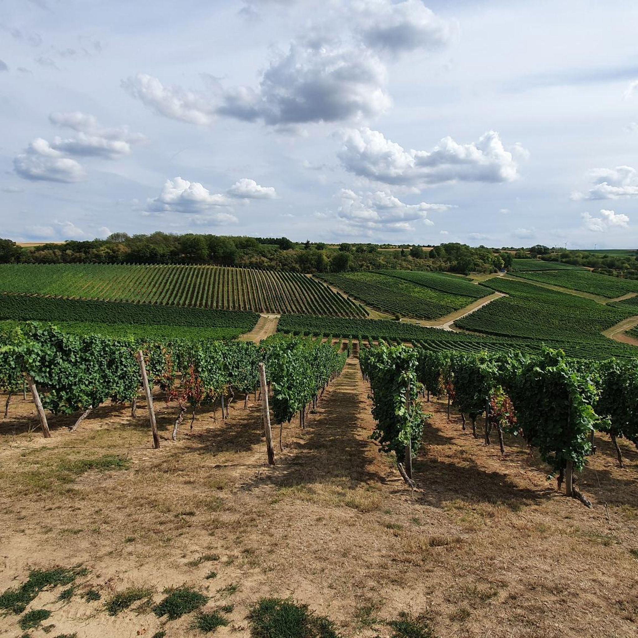
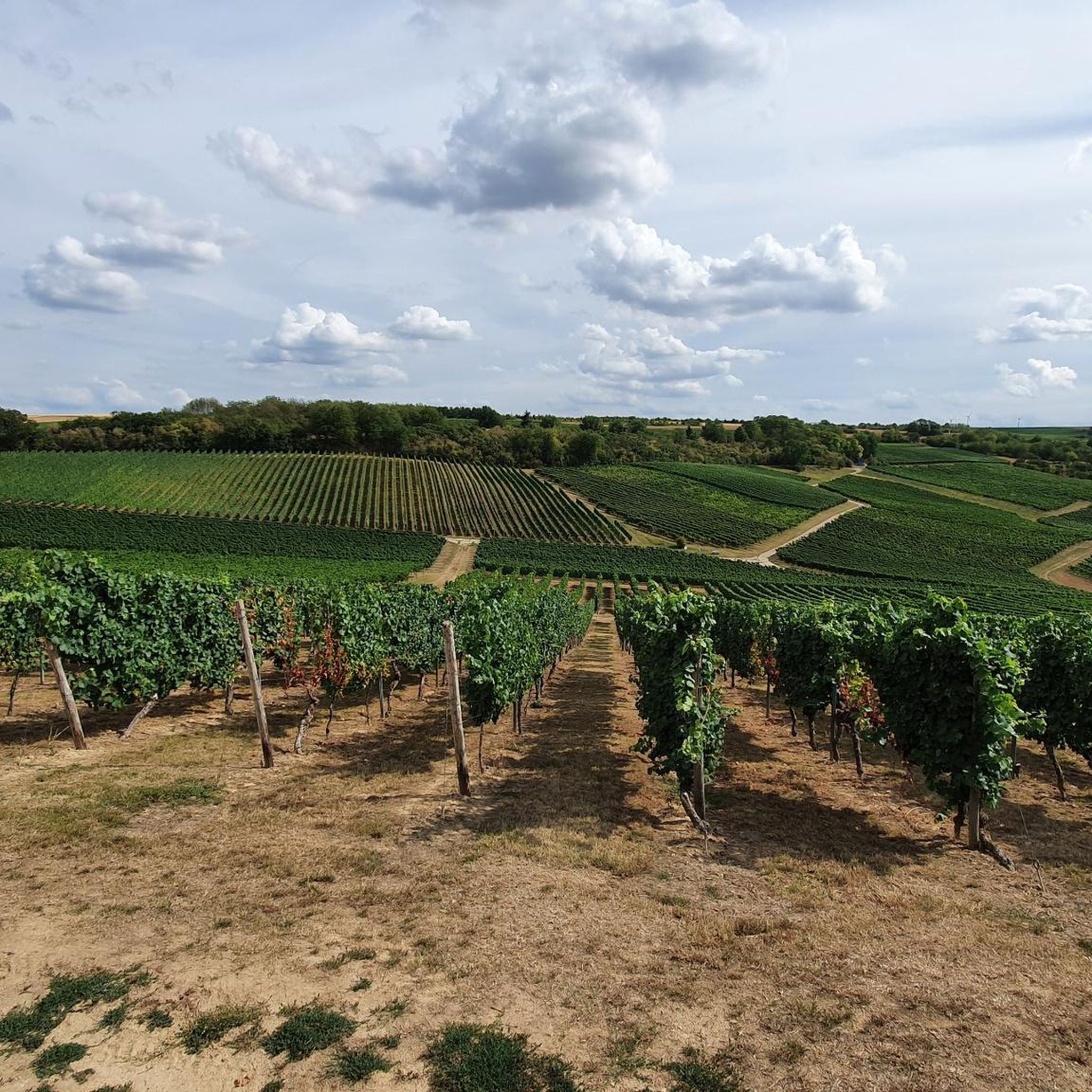
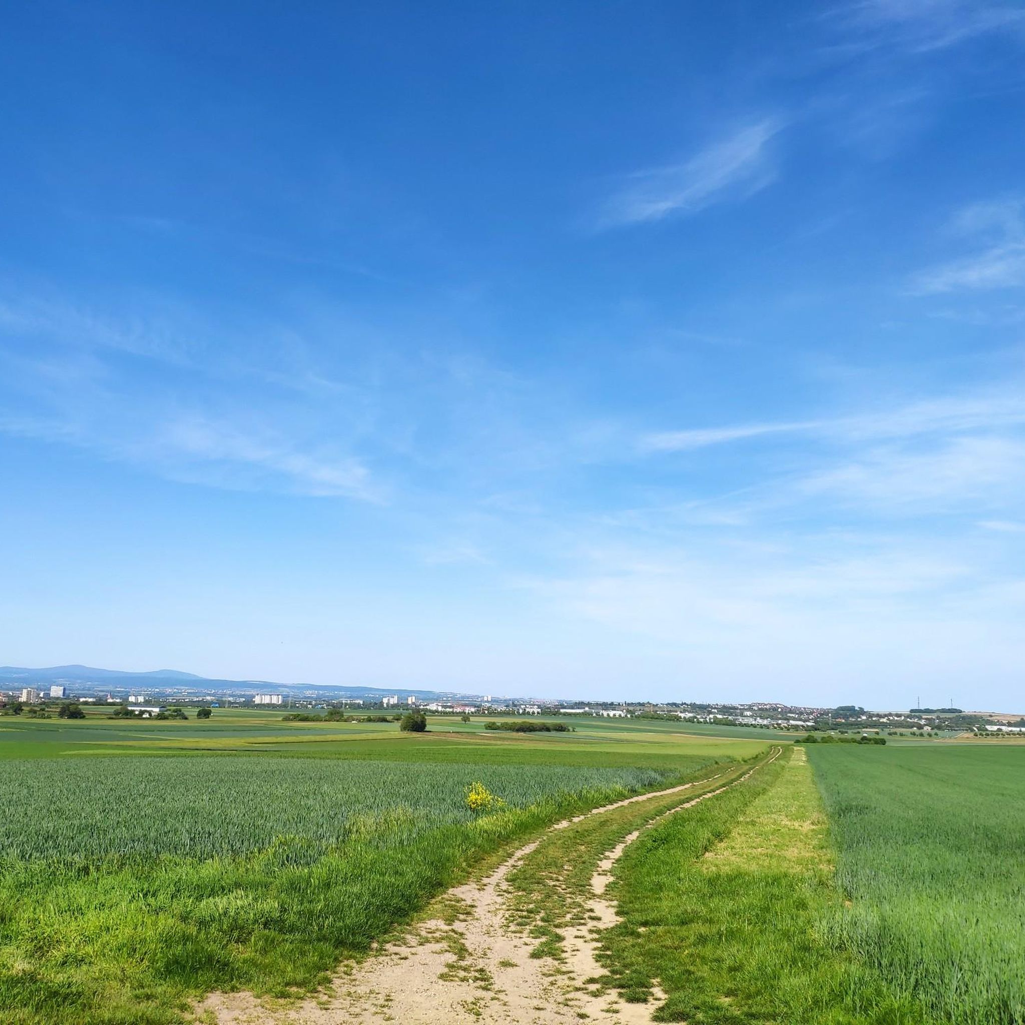
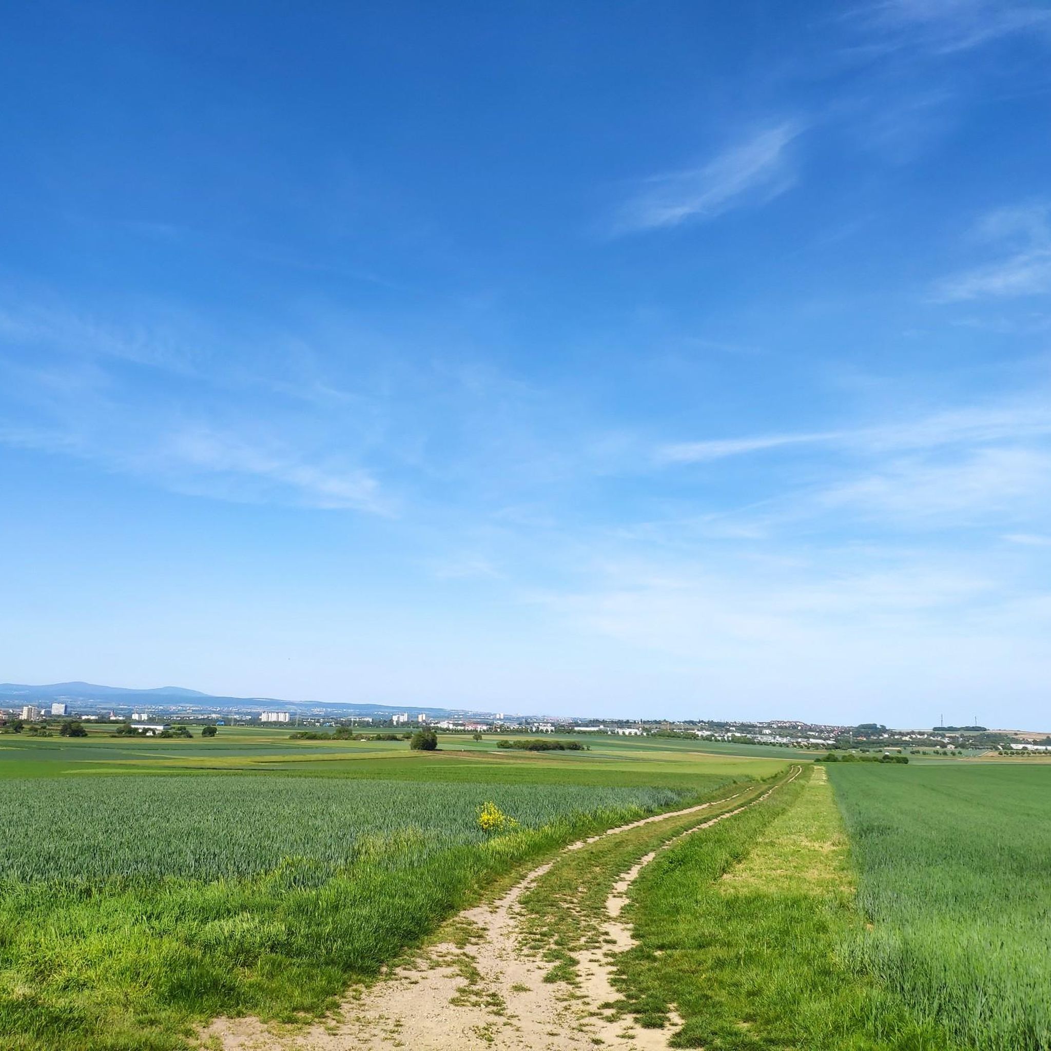
Road cycling routes around Klein-Winternheim traverse a landscape characterized by picturesque vineyards, rolling hills, and expansive fields, situated between the Rhine and Nahe rivers. The region offers a well-developed network of mostly paved routes, providing panoramic views over the Rhine valley. Cyclists can also find forested environments in the nearby Hinterwald area, featuring dense woods and tranquil ponds. The Main estuary, where the Main and Rhine rivers converge, adds another distinct natural feature to the area.
Best road cycling routes around Klein-Winternheim
- The most popular road cycling route is Burgkirche Ingelheim – Dike Path loop from Mainz-Marienborn, a 32.5 miles (52.4 km) trail that takes 2 hours 14 minutes to complete. This moderate route follows a dike path, offering views of the surrounding river landscape.
- Another top favourite among local road cyclists is Saulheim Village Landmarks – Vineyard Climb to Zornheim loop from Klein Winternheim-Ober Olm, a moderate 27.9 miles (44.9 km) path. This route features vineyard climbs and passes through village landmarks.
- Local road cyclists also love the View of the Rhine and Mainz – View of Mainz loop from Mainz-Marienborn, a 24.1 miles (38.8 km) trail leading through areas with views of the Rhine and Mainz, often completed in about 1 hour 41 minutes.
- Road cycling around Klein-Winternheim is defined by vineyards, rolling hills, and river valleys, with mostly paved surfaces. The network offers options for different ability levels, from easy loops to more challenging climbs.
- The routes in Klein-Winternheim are highly rated by the komoot community with an average score of 4.4 stars from over 1500 reviews. More than 22000 road cyclists have used komoot to explore Klein-Winternheim's varied terrain.
Last updated: July 4, 2026
4.5
(8)
78
riders
53.1km
02:16
330m
330m
Moderate road ride. Good fitness required. Some segments of this route may be unpaved and difficult to ride.
3.6
(5)
51
riders
Moderate road ride. Good fitness required. Some segments of this route may be unpaved and difficult to ride.

Sign up for free
4.0
(1)
29
riders
38.9km
01:41
220m
220m
Easy road ride. Great for any fitness level. Mostly well-paved surfaces and easy to ride.
4.0
(4)
25
riders
Moderate road ride. Good fitness required. Mostly well-paved surfaces and easy to ride.
25
riders
41.0km
01:51
380m
380m
Moderate road ride. Good fitness required. Mostly well-paved surfaces and easy to ride.
Get access to more routes and recommendations from other explorers.
Sign up for free
Already have an account?
Our route recommendations are based on thousands of hikes, rides, and runs completed by other people on komoot.
Start today with a free account
Your next adventure awaits.
Login or Signup
Tips from the Community

Historical Age: The bridge was built around 1877 (twelve years after the harbor opened) and is today considered one of the oldest still preserved swing bridges in all of Germany. For this reason, the steel truss construction is an important cultural monument under strict heritage protection. Technical Dimensions & Function: The structure has a length of 37.50 meters, a width of 4.50 meters, and weighs around 54 tons. The original mechanical rotation mechanism ensured for decades that the bridge could be swung to the side at any water level to allow larger ships to pass into the harbor basin. Modernization: After the historical rotation mechanism was irreparably damaged and jammed in 1996, the bridge was fundamentally reconstructed in 2009. The historical appearance of the top chords was preserved, while the outdated mechanics were replaced by a state-of-the-art hydraulic rotation system. Location & Significance: It connects the Stresemann-Ufer (Old Town side near the Hyatt Hotel) directly with the Victor-Hugo-Ufer on the upstream mole. Today, it serves exclusively as an important, highly frequented connection for pedestrians and cyclists and is an integral part of recreational routes such as the popular Mainzer Drei-Brücken-Weg.
7
0
With a total length of around 1,233 kilometers, the Rhine is one of the longest, most historically significant, and economically important rivers in Europe. The river originates in the Swiss Alps, where it is formed from the two headwaters, the Vorder- and Hinterrhein. After flowing through Lake Constance, it plunges down at the Rhine Falls near Schaffhausen and then, as the High Rhine, forms the border between Switzerland and Germany. Further on, as the Upper Rhine, it flows through the Upper Rhine Plain past major cities such as Karlsruhe and Ludwigshafen, as well as directly past the region of Mainz and Wiesbaden. In this area, the river makes a sharp turn west at the so-called "Rhine Knee" (Rheinknie) before reaching the spectacular Middle Rhine. This section between Bingen and Koblenz – known as the Upper Middle Rhine Valley (Obere Mittelrheintal) – has been protected as a UNESCO World Heritage site since 2002 due to its density of castles, historic vineyards, and the legend of the Loreley rock. Via the Lower Rhine (Niederrhein) and the metropolitan regions of Cologne and Düsseldorf, the Rhine finally continues into the Netherlands. There it divides into a widely branched delta and finally flows into the North Sea near Rotterdam. As an international waterway, the Rhine is the logistical backbone of Western Europe. It connects major industrial centers and seaports directly with the hinterland, and is used annually by tens of thousands of cargo ships for the transport of coal, ores, containers, and chemical goods. In addition to its industrial function, the Rhine Valley serves as a lifeline for tourism, as a rich source of energy through hydropower plants, and as a valuable natural and recreational area for millions of people.
8
0

Great route for cycling
0
0
Today's Theodor Heuss Bridge connects the Rhineland-Palatinate state capital Mainz with the Mainz-Kastel district of the Hessian state capital Wiesbaden across the Rhine.
19
0
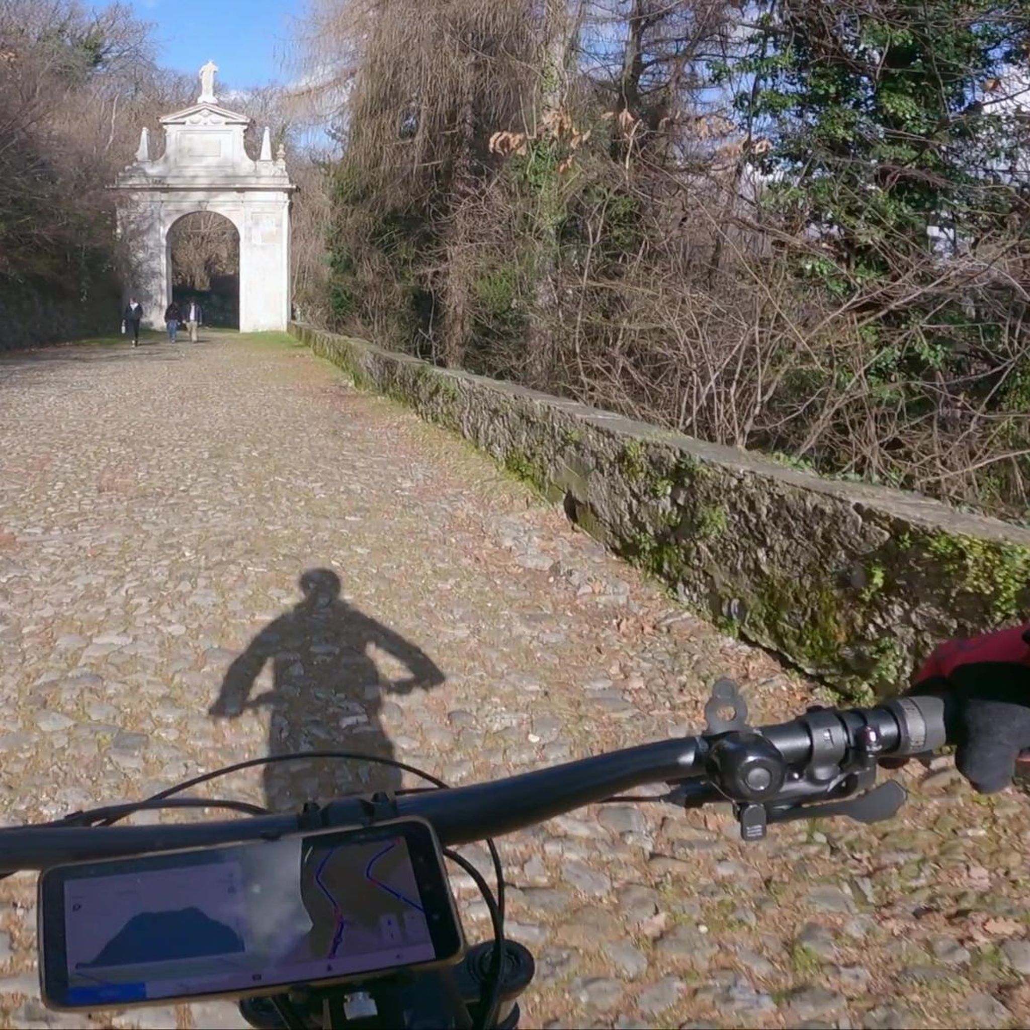
Interesting building with many great impressions
0
0
Beautiful route through the vineyards
0
0

Red wine festival in Oberingelheim is definitely worth a visit.
0
0
Frequently Asked Questions
How many road cycling routes are available in Klein-Winternheim?
Klein-Winternheim offers a comprehensive network of over 400 road cycling routes. These routes traverse diverse landscapes, from picturesque vineyards to rolling hills and expansive fields, providing ample choice for cyclists of all levels.
What are the typical difficulty levels for road cycling routes in Klein-Winternheim?
The routes in Klein-Winternheim cater to a wide range of abilities. You'll find over 100 easy routes, more than 240 moderate options, and around 60 challenging routes, ensuring there's something for every cyclist, from beginners to experienced riders.
What kind of terrain can I expect on road cycling routes around Klein-Winternheim?
Road cycling in Klein-Winternheim is characterized by mostly paved surfaces winding through picturesque vineyards, rolling hills, and river valleys. You'll experience panoramic views over the Rhine valley, and some routes may include climbs through vineyard areas, such as the Saulheim Village Landmarks – Vineyard Climb to Zornheim loop.
Are there any particularly scenic routes or viewpoints for road cyclists in the region?
Absolutely. Many routes offer impressive views, especially those traversing the vineyards. The View of the Rhine and Mainz – View of Mainz loop provides excellent vistas of the Rhine and the city. Additionally, the region boasts panoramic spots like the Vendersheim Observation Tower and the Bismarck Tower, perfect for a break with stunning views.
What can I see along the road cycling routes in Klein-Winternheim?
Beyond the natural beauty of vineyards and river landscapes, you can encounter historical sites and natural features. For example, you might pass by the Ginsheim Rhine Ship Mill, or explore areas near the Seven ponds of the Lenneberg Forest. The region also features impressive castles like Biebrich Palace and Waldthausen Castle.
Are there any family-friendly road cycling routes in Klein-Winternheim?
While road cycling is generally suited for more experienced riders, many of the easy and moderate routes with mostly paved surfaces can be enjoyable for families with older children. The well-developed network allows for choosing flatter sections, especially along river paths, to ensure a pleasant experience for all.
What is the best time of year for road cycling in Klein-Winternheim?
The region is beautiful throughout the warmer months. Spring brings vibrant flower meadows, while summer offers sunny rides through vineyards. Autumn is particularly scenic with the grape harvest and the annual wine festival in September, allowing you to combine your ride with local cultural highlights.
Are there any long-distance road cycling routes available?
Yes, Klein-Winternheim is part of the broader Rheinhessen area, which offers over 500 kilometers of well-signposted bike paths. Routes like the Amiche Railway Path – Saulheim Village Landmarks loop, at over 52 km, provide a good distance, and you can easily connect to renowned paths like the Rhine Cycle Route for even longer tours.
Are there any circular road cycling routes in the area?
Many of the road cycling routes in Klein-Winternheim are designed as loops, allowing you to start and finish at the same point. A popular example is the Burgkirche Ingelheim – Dike Path loop from Mainz-Marienborn, which offers a scenic circular journey along a dike path.
What do other road cyclists enjoy the most about road cycling in Klein-Winternheim?
The area is highly rated by the komoot community, with an average score of 4.4 stars from over 1500 reviews. Cyclists often praise the diverse landscapes, the well-maintained paved surfaces, and the stunning panoramic views over the Rhine valley and vineyards, making for a truly enjoyable riding experience.
Are there options for road cyclists who prefer hilly routes?
Yes, the region's rolling hills provide excellent opportunities for cyclists seeking more challenging terrain. Routes like the Roadbike loop from Klein Winternheim-Ober Olm feature significant elevation gains, offering rewarding climbs and descents through the scenic landscape.
Where can I find parking for road cycling routes in Klein-Winternheim?
Many routes start from towns and villages that offer public parking facilities. For example, routes often begin near Mainz-Marienborn or Klein Winternheim-Ober Olm, where you can typically find suitable parking to access the trails.
Most popular routes around Klein-Winternheim
Most popular attractions around Klein-Winternheim

Get inspired with the komoot mobile app


Explore more
Browse the best Road cycling routes in other regions.
