The best gravel rides around Tourreilles
4.5
(2)
16
riders
4
rides
Gravel biking around Tourreilles offers a diverse landscape characterized by rolling hills, river valleys, and rural paths. The region features a mix of agricultural areas, historic villages, and sections along waterways like the Canal du Midi. Elevation gains on many routes indicate varied terrain, providing opportunities for both steady climbs and more level stretches.
Best gravel bike trails around Tourreilles
- The most popular gravel bike trail is Camon Village – Camon and viaduct loop from Courtauly, a 23.7 miles…
Last updated: July 5, 2026
3
riders
38.2km
02:39
430m
430m
Moderate gravel ride. Good fitness required. Mostly paved surfaces. Suitable for all skill levels.
4.0
(1)
1
riders
29.3km
02:24
660m
660m
Hard gravel ride. Very good fitness required. You may need to push your bike for some segments of this route.

Sign up for free
5
riders
67.2km
04:27
970m
970m
Hard gravel ride. Very good fitness required. Mostly paved surfaces. Suitable for all skill levels.
5.0
(1)
2
riders
105km
07:51
1,580m
1,580m
Hard gravel ride. Very good fitness required. Mostly paved surfaces. Suitable for all skill levels.
2
riders
36.4km
02:54
790m
790m
Hard gravel ride. Very good fitness required. Mostly paved surfaces. Suitable for all skill levels.
Our route recommendations are based on thousands of hikes, rides, and runs completed by other people on komoot.
Start today with a free account
Your next adventure awaits.
Login or Signup

Tips from the Community

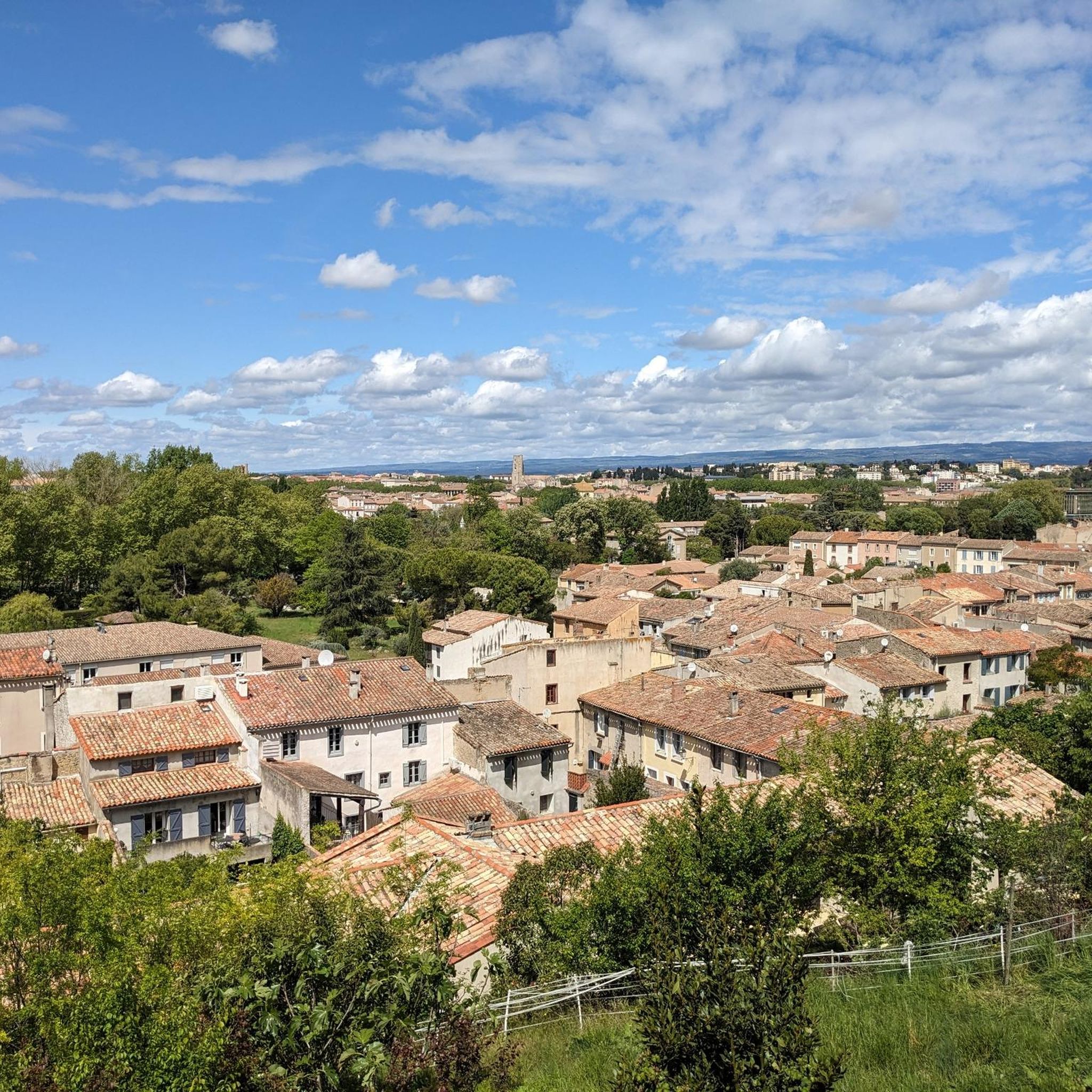
Lagarde Castle is located in the French commune of Lagarde, in the Ariège region, near Mirepoix. Built from the 11th century onward, the King of Aragon, Ramire I of Navarre, initially used it as a watchtower in the north of his kingdom.
0
0


Small pass with Puivert castle in sight during the climb
0
0
At the 4th bend, much easier and shaded. Pleasant little pass.
0
0

The architectural heritage of the commune includes two buildings protected as historic monuments (Wikipedia)
0
0

The Col de Festes and its view of the snow-capped Pyrenees in the distance: the perfect picnic break! The best thing is to take the path that starts from the summit for 200m and you will find yourself in peace and quiet with a beautiful view!
0
0
Magnificent view on both sides of this bridge! We appreciate the wide and shallow Aude, exposed pebbles and the greenery around! It is really very beautiful!
0
0

Puivert is located between Razès to the north and the Sault region to the south. It is part of Quercorb. The name of this small natural region of Languedoc is not very well known. On the other hand, the commune itself is famous.
0
0
Frequently Asked Questions
How many gravel bike trails are available around Tourreilles?
There are currently 7 gravel bike routes documented on komoot for the Tourreilles area, offering a range of experiences from moderate to difficult.
What is the best time of year for gravel biking in Tourreilles?
The region around Tourreilles, with its Mediterranean climate, is generally pleasant for gravel biking from spring through autumn. Summers can be warm, so early mornings or late afternoons are often preferred. Winters are typically mild, but some routes might be affected by rain, making spring and early autumn ideal for comfortable riding conditions.
Are there any easy gravel bike trails suitable for beginners in Tourreilles?
While many routes in Tourreilles are rated as difficult, there is at least one moderate option. The Camon Village – Camon and viaduct loop from Courtauly is a moderate 38.2 km trail that explores village surroundings and features a viaduct, making it a good starting point for those looking for a less challenging ride.
Are there any challenging gravel bike routes for experienced riders?
Yes, the Tourreilles area offers several challenging routes. For instance, the Place de la République – Blanquette de Limoux loop from Gaja-et-Villedieu is a difficult 28.8 km path that navigates through the Limoux area, known for its vineyards and rural scenery, providing a good test for experienced gravel bikers.
What kind of terrain can I expect on gravel bike trails around Tourreilles?
Gravel biking around Tourreilles is characterized by rolling hills, river valleys, and rural paths. You'll encounter a mix of agricultural areas, historic villages, and sections along waterways like the Canal du Midi. Expect varied terrain with opportunities for both steady climbs and more level stretches, often on unpaved roads and tracks.
Are there any loop gravel trails available?
Yes, many of the gravel routes in Tourreilles are designed as loops. For example, the Béteille lock – Canal du Midi loop from Pieusse is a 61.1 km loop trail that takes you through the scenic Canal du Midi area.
What are some scenic viewpoints or landmarks I can see along the gravel routes?
The region offers several points of interest. You might encounter views from Brau Peak or pass through areas like Festes Pass. Some routes also lead near historic sites such as Our Lady of Marceille or through settlements like Blanquette de Limoux, known for its vineyards.
Are there any routes that pass through or near the Canal du Midi?
Yes, the Canal du Midi is a prominent feature in the region. The Béteille lock – Canal du Midi loop from Pieusse is a dedicated route that leads directly through the Canal du Midi area, offering picturesque riding along the waterway.
What do other gravel bikers say about the trails in Tourreilles?
The gravel biking routes around Tourreilles are highly regarded by the komoot community, holding an average rating of 4.0 stars. Riders often appreciate the diverse landscape, which includes canal paths, rolling rural scenery, and routes connecting charming historic villages.
Are there any routes that explore the Limoux area?
Yes, the Limoux area, known for its vineyards and rural charm, is accessible via gravel routes. The Our Lady of Marceille – Place de la République loop from Limoux is a difficult 38.9 km route that starts and ends in Limoux, offering a great way to explore this part of the region.
Can I find routes that involve significant elevation gain?
Absolutely. Many routes in the Tourreilles area feature significant elevation gains, reflecting the region's rolling hills. For example, the difficult Rennes-les-Bains – at the foot of Pech Cardou loop from Couiza-Montazels includes over 750 meters of ascent, providing a challenging climb for those seeking it.
Most popular routes around Tourreilles
Most popular attractions around Tourreilles

Get inspired with the komoot mobile app


Explore more
Browse the best Gravel rides in other regions.
