The best walks and hikes around Villers-Lès-Luxeuil
4.1
(64)
255
hikers
30
hikes
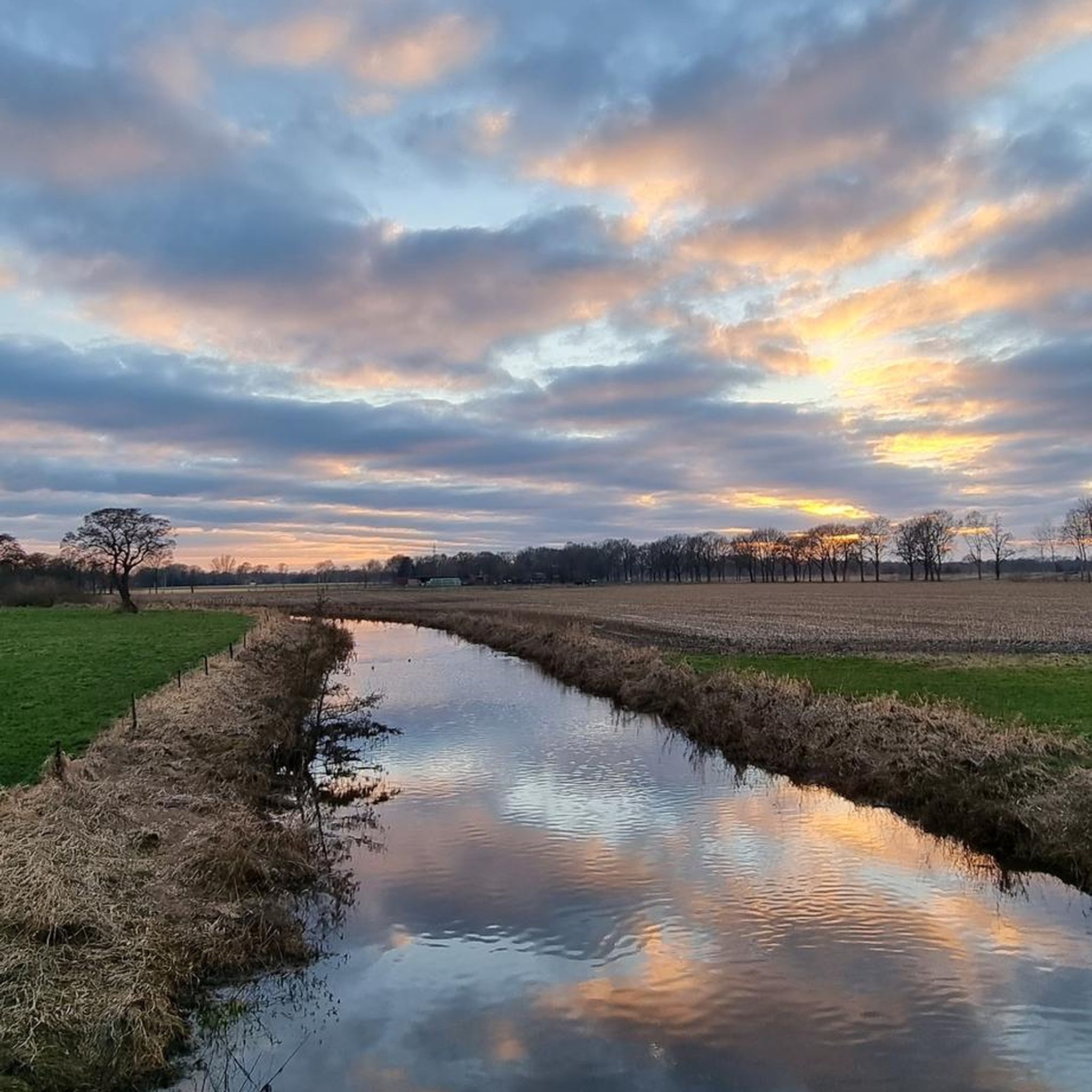
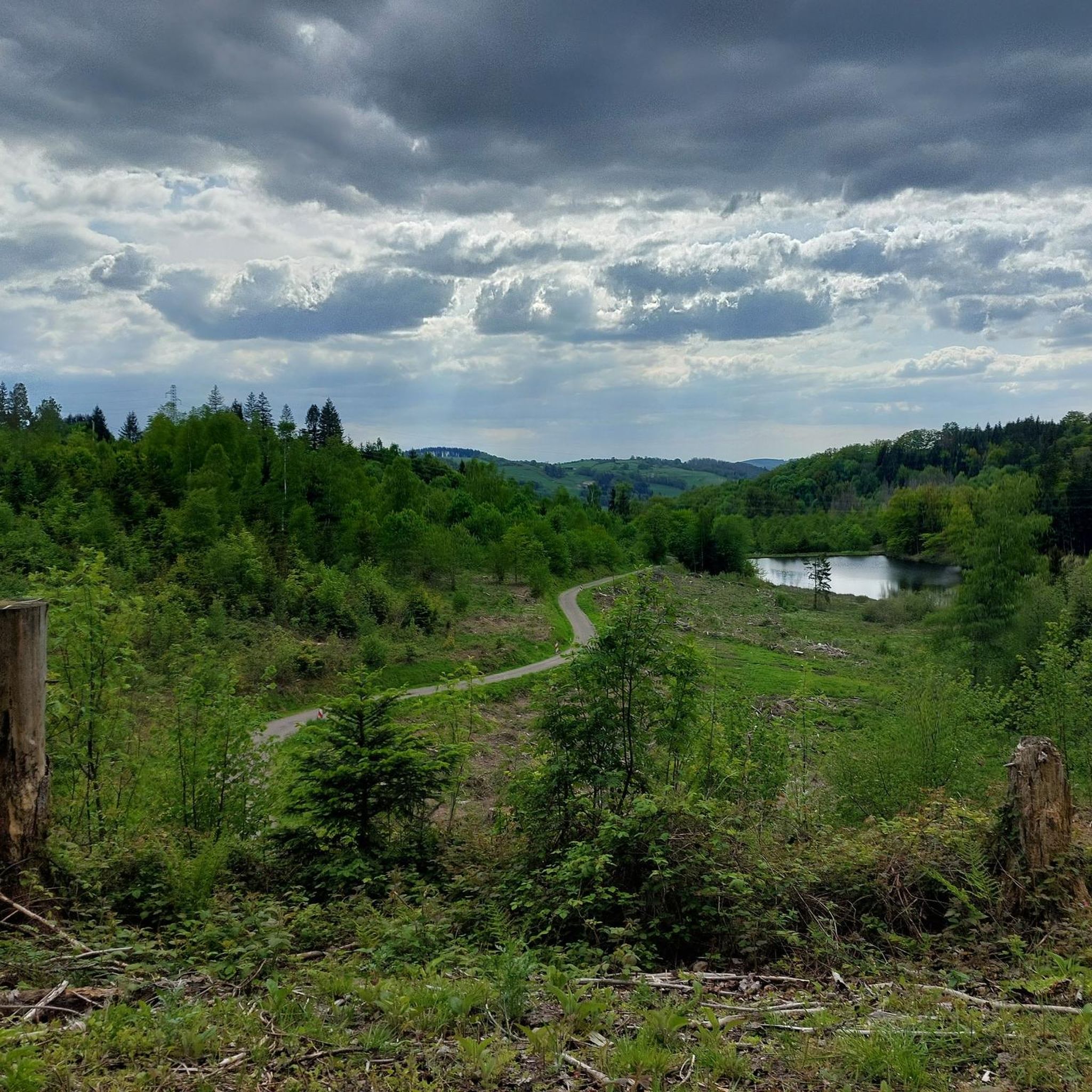
Hiking around Villers-Lès-Luxeuil offers diverse landscapes for outdoor enthusiasts. The region is characterized by a mix of forests, valleys, and open fields, situated in a small valley at the western edge of the Luxeuil and Lanterne plains. This area provides varied terrain for exploration, including richer, beech-filled forests that transition into diverse species of the Haute-Saône plains. The local trails cater to various fitness levels, featuring both shorter loops and more substantial routes through forested paths and historical sites.
Best…
Last updated: July 5, 2026
4.7
(7)
68
hikers
9.19km
02:27
100m
100m
Moderate hike. Good fitness required. Easily-accessible paths. Suitable for all skill levels.
3.8
(11)
28
hikers
Easy hike. Great for any fitness level. Easily-accessible paths. Suitable for all skill levels.

Sign up for free
4.0
(6)
11
hikers
11.2km
03:01
140m
140m
Moderate hike. Good fitness required. Easily-accessible paths. Suitable for all skill levels.
5.0
(2)
14
hikers
Easy hike. Great for any fitness level. Easily-accessible paths. Suitable for all skill levels.
4.0
(1)
6
hikers
Easy hike. Great for any fitness level. Easily-accessible paths. Suitable for all skill levels.
Get access to more routes and recommendations from other explorers.
Sign up for free
Already have an account?
Our route recommendations are based on thousands of hikes, rides, and runs completed by other people on komoot.
Start today with a free account
Your next adventure awaits.
Login or Signup


Tips from the Community

The Abbey of Saint-Colomban was looted and destroyed in the 8th century, then rebuilt in the 11th century. Secularized during the French Revolution, it was transformed into a minor seminary, then a Catholic college. When the diocese was no longer able to bear the maintenance costs of this immense complex, it was sold in 2024 by the diocese of Besançon to Pascale and Jean-Yves Parisot. Since then, the abbey has been undergoing a complete renovation for over ten million euros.
1
0
It is here that the Romans built the first thermal establishments. The small town therefore prides itself on being the oldest spa town in France. The current thermal establishment only saw the light of day in the 18th century; it was built from red sandstone from the Vosges. Its architect was Nicolas Didelot, a student of Claude-Nicolas Ledoux, the creator of the Saline Royale d'Arc-et-Senans.
1
0

The "Bishop's Fountain" is arranged in basins forming a triple cascade. It was designed in 1914 to raise trout with the aim of reintroducing them into the wild, the project was subsequently abandoned.
0
0
The "Barrel Fountain" is part of a system of several springs that dates back to the Gallo-Roman period. One of the springs flows through a bottomless wooden barrel filled with pebbles. It was restored in 1936, but traces of an old pipe leading to Luxeuil have been found.
0
0

A very impressive monastery complex.
3
6

Surely once the premier address in town. Directly across from the thermal baths. Now a lost place.
1
0
Surely once the premier address in town. Directly across from the thermal baths. Now a lost place.
1
0
Great complex, dating back to Roman times
1
0
Frequently Asked Questions
What kind of terrain can I expect on hiking trails around Villers-lès-Luxeuil?
The region around Villers-lès-Luxeuil offers a diverse mix of landscapes. You'll find trails traversing forests, including richer, beech-filled areas transitioning into varied species of the Haute-Saône plains, as well as open fields and valleys. This provides a varied and engaging experience for hikers.
Are there many easy hiking options in Villers-lès-Luxeuil?
Yes, the area is very accommodating for hikers seeking easier routes. Out of the 28 available tours, 20 are classified as easy. For example, the Parc Animalier du Banney – Chemin des Moines loop from Luxeuil-les-Bains is an accessible 6.8 km path, and the Saint Columban Abbey – Luxeuil-les-Bains Thermal Baths loop from Luxeuil-les-Bains is a shorter 1.99 km easy option.
What are some notable natural features or landmarks I might encounter on a hike?
While hiking, you can explore various natural and historical sites. The broader region features significant natural beauty like the Ballon d'Alsace and the Cascade de la Pissoire. Locally, you might encounter the historical 'Camps de César' on a plateau, or the 'Trou de la Sorcière' (Witch's Hole) on a 14 km route through forested paths. You can also visit the Saint Columban Abbey or the Luxeuil-les-Bains Thermal Baths.
Are there any circular hiking routes available?
Yes, many of the trails in the Villers-lès-Luxeuil area are designed as circular routes. Examples include the Camper Van Parking Area – Chemin des Moines loop from Luxeuil-les-Bains, which is a moderate 9.1 km trail, or the Chemin des Moines – Parc Animalier du Banney loop from Luxeuil-les-Bains, a 11.1 km route through forests and fields. The local circuits like 'Mésanges et Alisiers' (3 or 6 km) and 'Camps de César' (18 km) are also circular.
What do other hikers say about the trails in Villers-lès-Luxeuil?
The hiking routes in Villers-lès-Luxeuil are highly regarded by the komoot community, holding an average rating of 4.3 stars from over 55 reviews. Hikers often praise the varied terrain, well-marked paths, and the peaceful natural environment of the forests and valleys.
What is the best time of year to go hiking in this region?
The diverse landscapes of Villers-lès-Luxeuil, with its mix of forests and open fields, are enjoyable across multiple seasons. Spring and autumn offer pleasant temperatures and beautiful foliage, while summer provides longer daylight hours for extended exploration. Even in winter, the forests can offer serene, quiet walks, though conditions may vary.
Are there any historical sites to explore while hiking?
Absolutely. The region has historical significance. The 'Camps de César' circuit, an 18 km route, leads to a historically significant plateau overlooking the village, hinting at ancient presence. Additionally, the wider area includes elements like an ancient Roman road found on the Haut-Bois circuit, and you can visit the Luxeuil-les-Bains Historic Town Center.
How many hiking trails are there in total around Villers-lès-Luxeuil?
There are 28 hiking tours available around Villers-lès-Luxeuil, catering to various preferences and fitness levels. This includes a good mix of easy and moderate routes to explore the region's diverse landscapes.
Are there any routes that are particularly good for families?
For families, the easier and shorter routes are often ideal. The 'Mésanges et Alisiers' loop, with options for 3 or 6 kilometers within the communal forest, is a good choice. Additionally, the Parc Animalier du Banney – Chemin des Moines loop from Luxeuil-les-Bains is an easy 6.8 km path that offers an accessible experience for all ages.
What is the typical elevation gain on trails in Villers-lès-Luxeuil?
The trails around Villers-lès-Luxeuil generally feature moderate elevation changes, making them accessible without major difficulties. For instance, the Camper Van Parking Area – Chemin des Moines loop from Luxeuil-les-Bains has an elevation gain of about 102 meters over 9.1 km, while the 14 km 'Trou de la Sorcière' route is described as moderately hilly.
Can I find places to eat or stay near the hiking trails?
While Villers-lès-Luxeuil is a small commune, the wider area, particularly around Luxeuil-les-Bains, offers various amenities. You can find cafes, restaurants, and accommodation options in nearby towns to complement your hiking experience. It's advisable to check local listings for specific establishments.
Are there any trails that pass by water features?
While Villers-lès-Luxeuil itself is in a valley, the broader region is rich in waterways. The Forêt des Sept Chevaux, for example, features two ponds. The 'Haut-Bois circuit' also includes springs, offering pleasant water features along the route. The Cascade de la Pissoire is a notable natural site within a reasonable distance.
Most popular routes around Villers-Lès-Luxeuil
Most popular attractions around Villers-Lès-Luxeuil

Get inspired with the komoot mobile app


Explore more
Browse the best Hikes in other regions.
