The best walks and hikes around Villeneuve-Au-Chemin
4.3
(29)
100
hikers
19
hikes
Hiking around Villeneuve-Au-Chemin offers access to the extensive Othe forest massif in the Aube department of north-central France. The region is characterized by its "chalky block" geology, contributing to varied terrain. This area provides a green setting with numerous forest trails, allowing for exploration within a diverse natural environment.
Best hiking trails around Villeneuve-Au-Chemin
- The most popular hiking route is On the way after the starting point – Beautiful camping loop from Eaux-Puiseaux, a 3.6 miles (5.8 km) trail…
Last updated: October 21, 2026
4.0
(2)
10
hikers
5.77km
01:34
80m
80m
Easy hike. Great for any fitness level. Easily-accessible paths. Suitable for all skill levels.
3.5
(2)
8
hikers
Easy hike. Great for any fitness level. Easily-accessible paths. Suitable for all skill levels.

4.0
(3)
6
hikers
12.4km
03:21
180m
180m
Moderate hike. Good fitness required. Easily-accessible paths. Suitable for all skill levels.
5.0
(2)
7
hikers
Moderate hike. Good fitness required. Easily-accessible paths. Suitable for all skill levels.
5.0
(2)
5
hikers
12.0km
03:16
170m
170m
Moderate hike. Good fitness required. Easily-accessible paths. Suitable for all skill levels.
Get access to more routes and recommendations from other explorers.
Already have an account?
Our route recommendations are based on thousands of hikes, rides, and runs completed by other people on komoot.
Start today with a free account
Your next adventure awaits.



Other adventures around Villeneuve-Au-Chemin

Tips from the Community

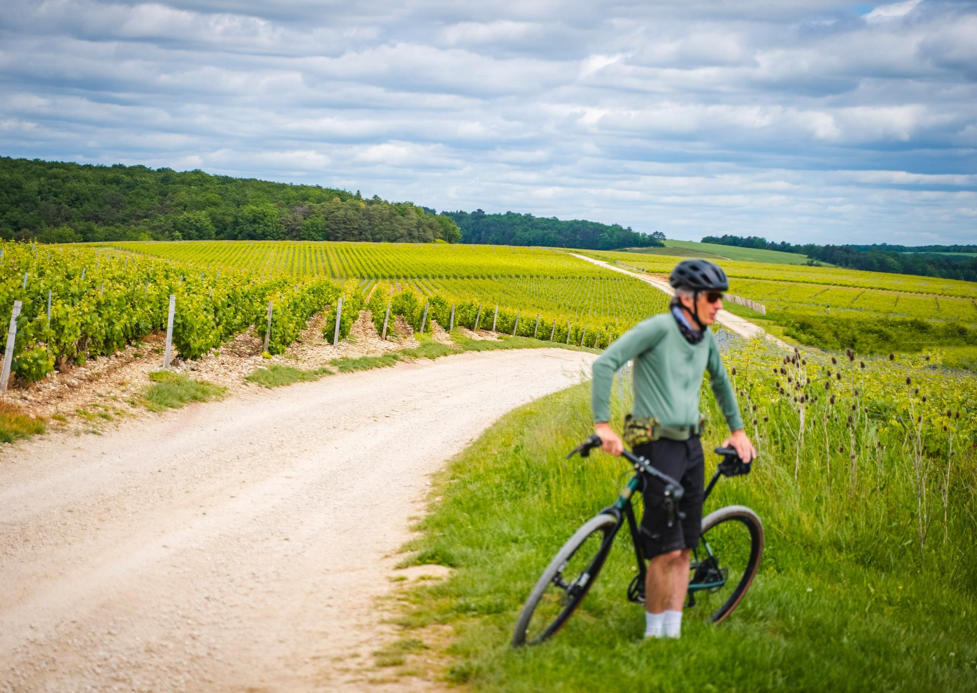
Here you cycle through flowery fields. The path is easy so let yourself be surprised by the view.
0
0
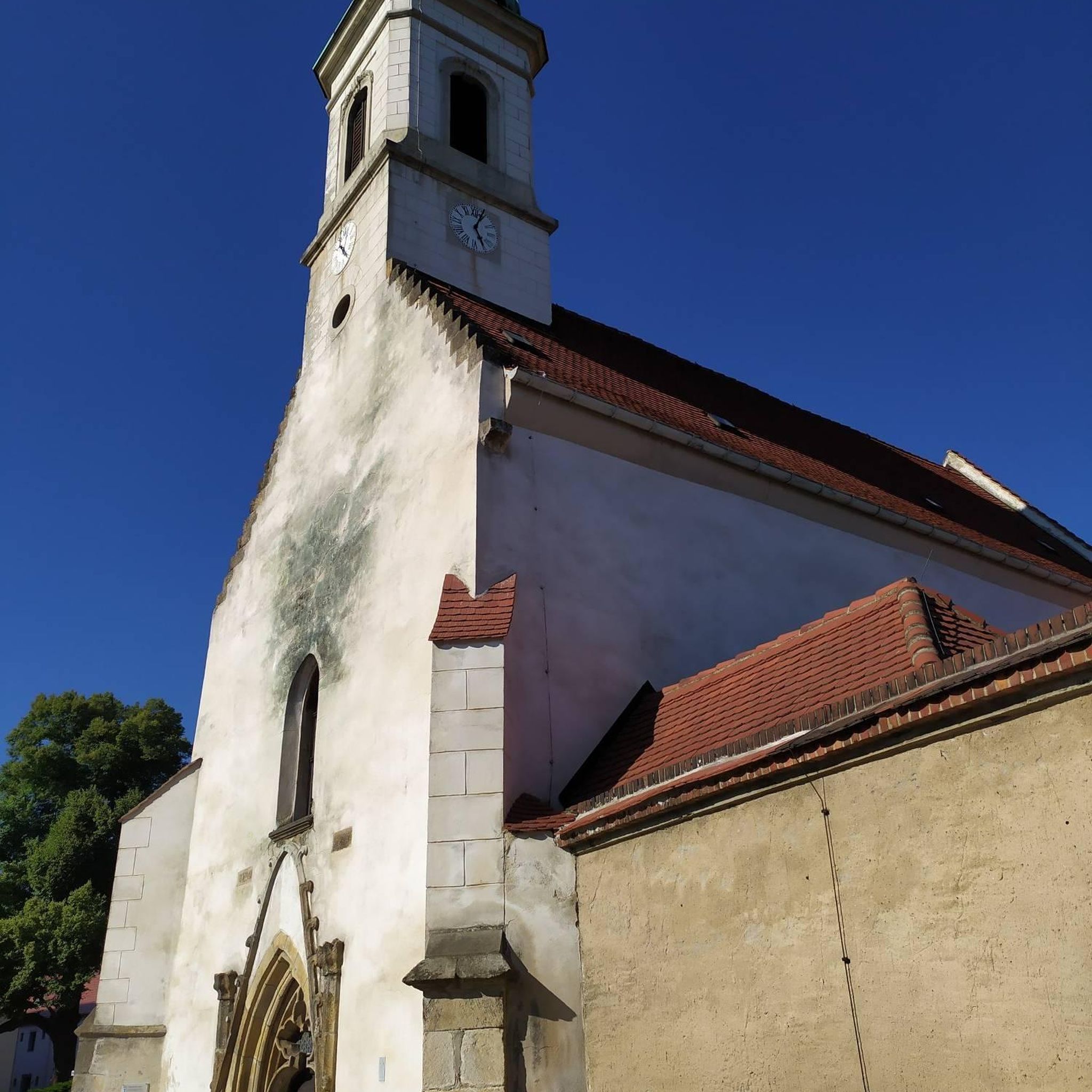
Eaux-Puiseaux is located in the heart of the Pays d’Othe. Its Saint-Pierre-ès-Liens church, dating from the 16th century, houses remarkable furniture. The surrounding forests and trails offer a perfect setting for cycling.
0
0

Place to discover the craft of stained glass, housed in the former Ervy-le-Châtel prison built in 1833. The exhibition spaces and fun-educational workshops allow you to understand all the stages of stained glass creation. Screening of films on the profession of master glassmaker and on the churches of the Pays d'Armance. The Maison du Vitrail d'Armance offers to discover the emblematic places of Ervy-le-Châtel thanks to a visit on a digital tablet. Three existing versions: adults, children and in English. The tablets can be rented freely during the opening hours of the Maison du stained glass (1€ for the rental of a tablet).
0
0

Located between the forest massifs of Chaourçois and the Othe forest, Ervy-le-Châtel has many charms. The village takes its name from the local lord who ruled this stronghold until the 9th century: the Ervy family. The Armance flows at the foot of the town. There is also a feudal mound nearby. These are probably the ruins of the original castle.
0
0
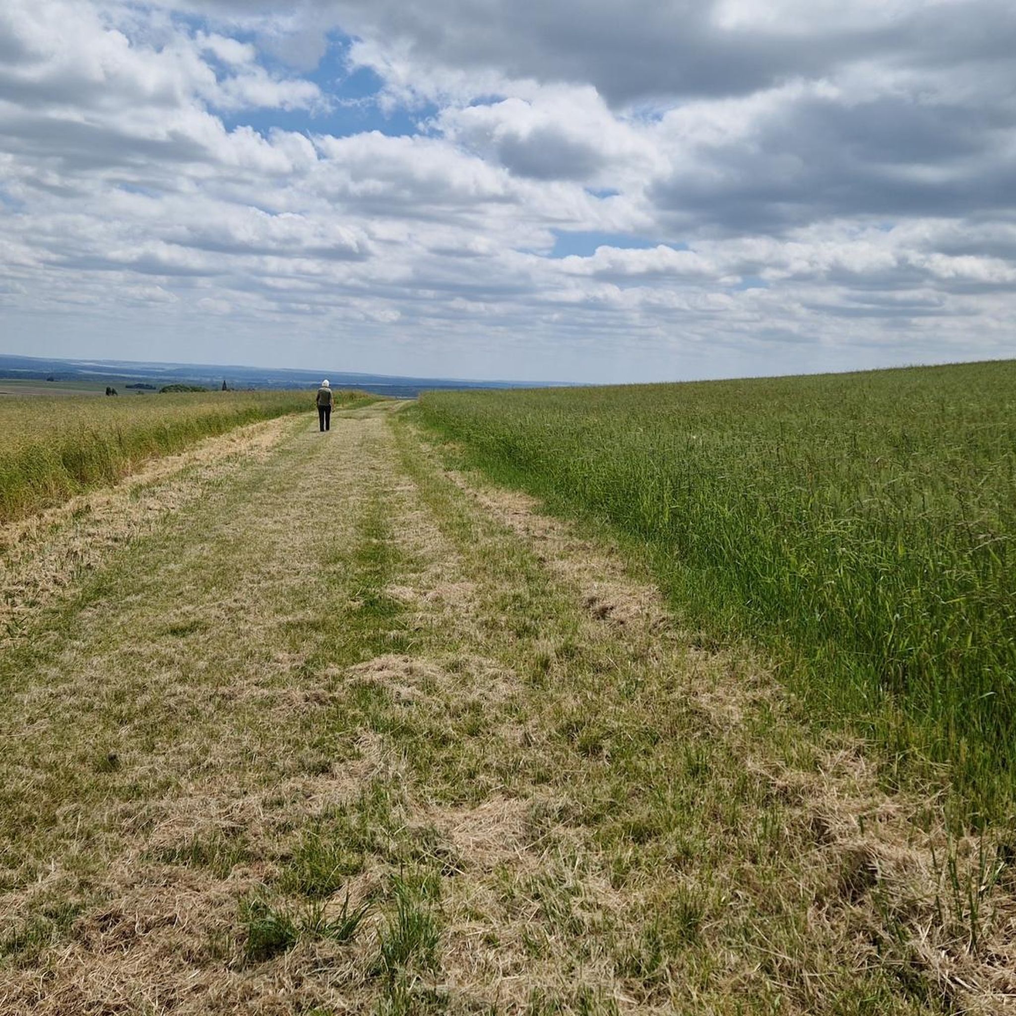
You cross the Park woods in a long straight line under a magnificent forest cover. The road begins at the Popin field and ends at the gates of the town of Ervy-le-Châtel.
0
0


A unique circular building from the beginning of the 19th century, the Ervy-le-Châtel market hall is made up of three half-timbered floors. All different sizes, these sections have half-timbered galleries and three wooden roofs.
0
0
Frequently Asked Questions
How many hiking trails are available around Villeneuve-Au-Chemin?
There are 15 hiking trails around Villeneuve-Au-Chemin, catering to various skill levels. This includes 8 easy routes, 6 moderate routes, and 1 difficult trail.
What kind of terrain can I expect on the hiking trails near Villeneuve-Au-Chemin?
The trails primarily traverse the extensive Othe forest massif, offering dense woodlands and a verdant "green setting." The region is characterized by its unique "chalky block" geology, which contributes to varied terrain and diverse flora, including angelica, meadowsweet, and nettles.
Are there any family-friendly hiking options in Villeneuve-Au-Chemin?
Yes, there are several easy routes suitable for families. For a gentle introduction to the area, consider the On the way after the starting point – Beautiful camping loop from Eaux-Puiseaux. This 3.6-mile (5.8 km) trail is easy with a gentle elevation gain, making it ideal for a leisurely family outing.
Are dogs allowed on the hiking trails around Villeneuve-Au-Chemin?
While specific leash laws can vary, the natural setting of the Othe forest massif generally welcomes dogs. It's always recommended to keep your dog on a leash, especially in forested areas, to protect local wildlife and ensure a pleasant experience for all hikers. Most trails, like the Beautiful camping – En route loop from Puiseaux, are suitable for walking with a dog.
Are there any circular hiking routes available?
Many of the trails around Villeneuve-Au-Chemin are designed as loops, offering convenient circular routes. For example, the moderate Stukje Hertenpad – Path through the fields loop from Eaux-Puiseaux is a 7.5-mile (12.0 km) path that brings you back to your starting point.
What are some interesting landmarks or natural features to see along the trails?
The region offers a mix of natural beauty and historical sites. You can explore the dense Othe forest itself, with its immense canopy of greenery. Nearby, you might discover highlights such as the Ervy-le-Châtel Highlights: Circular Market Hall, Chapel, Saint-Nicolas Gate, and Feudal Motte, or the serene Saint Joseph of the Angels Chapel. The Very nice forest trail highlight also points to particularly scenic sections of the woodlands.
Where can I park when hiking in Villeneuve-Au-Chemin?
While specific trailhead parking information varies, many routes, especially those starting from nearby villages like Eaux-Puiseaux or Puiseaux, offer convenient parking options. It's advisable to check the individual route details on komoot for precise parking locations before you set out.
What is the best time of year to go hiking in Villeneuve-Au-Chemin?
The Othe forest massif is beautiful throughout the year, but spring and autumn are particularly pleasant. Spring brings fresh greenery and blooming flora, while autumn offers vibrant colors. The dense tree cover provides shade in summer, making it enjoyable even during warmer months. Winter hiking is also possible, offering a different, serene experience of the frosted woodlands.
What do other hikers say about the trails in Villeneuve-Au-Chemin?
The hiking routes in Villeneuve-Au-Chemin are highly rated by the komoot community, with an average score of 4.6 stars from more than 10 reviews. Hikers often praise the quiet woodlands, the green setting, and the varied terrain that offers something for different ability levels.
Are there any moderate trails for more experienced hikers?
Yes, for those looking for a longer and more challenging experience, the Chapel of the Good Death loop from Le Fays is a moderate 6.6-mile (10.7 km) route with a notable elevation gain of 238 meters, offering a rewarding hike through the varied landscape.
Can I find cafes or places to eat near the hiking trails?
Villeneuve-Au-Chemin and its surrounding villages offer local amenities where you can find cafes or small eateries. While not directly on every trail, you can typically find options in the village centers before or after your hike. It's a good idea to pack snacks and water for your journey, especially on longer routes.
What is the longest moderate trail in the area?
The longest moderate trail is the Beautiful camping – En route loop from Puiseaux, which spans 7.6 miles (12.3 km) and includes an elevation gain of 177 meters. This route typically takes around 3 hours 20 minutes to complete.
Most popular routes around Villeneuve-Au-Chemin
Most popular attractions around Villeneuve-Au-Chemin

Get inspired with the komoot mobile app


Explore more
Browse the best Hikes in other regions.
