The best gravel rides around Martigny-Le-Comte
12
riders
5
rides
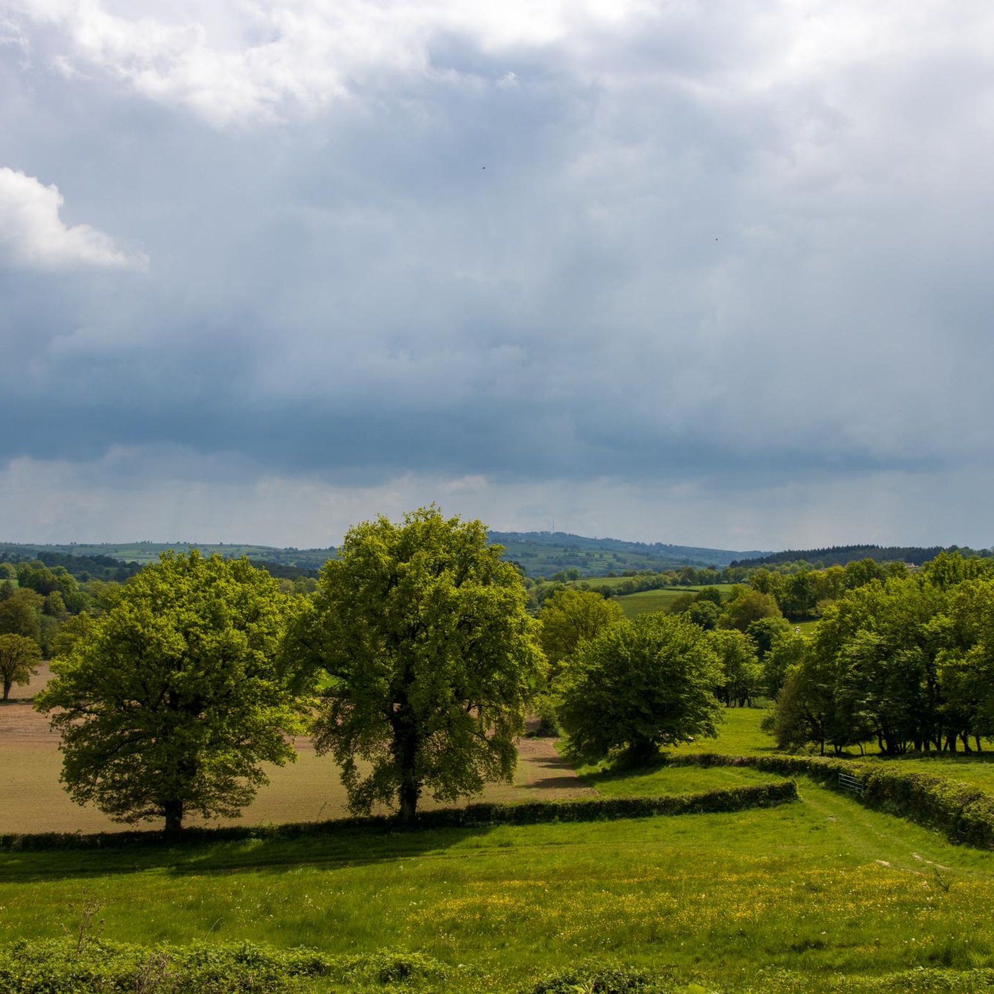
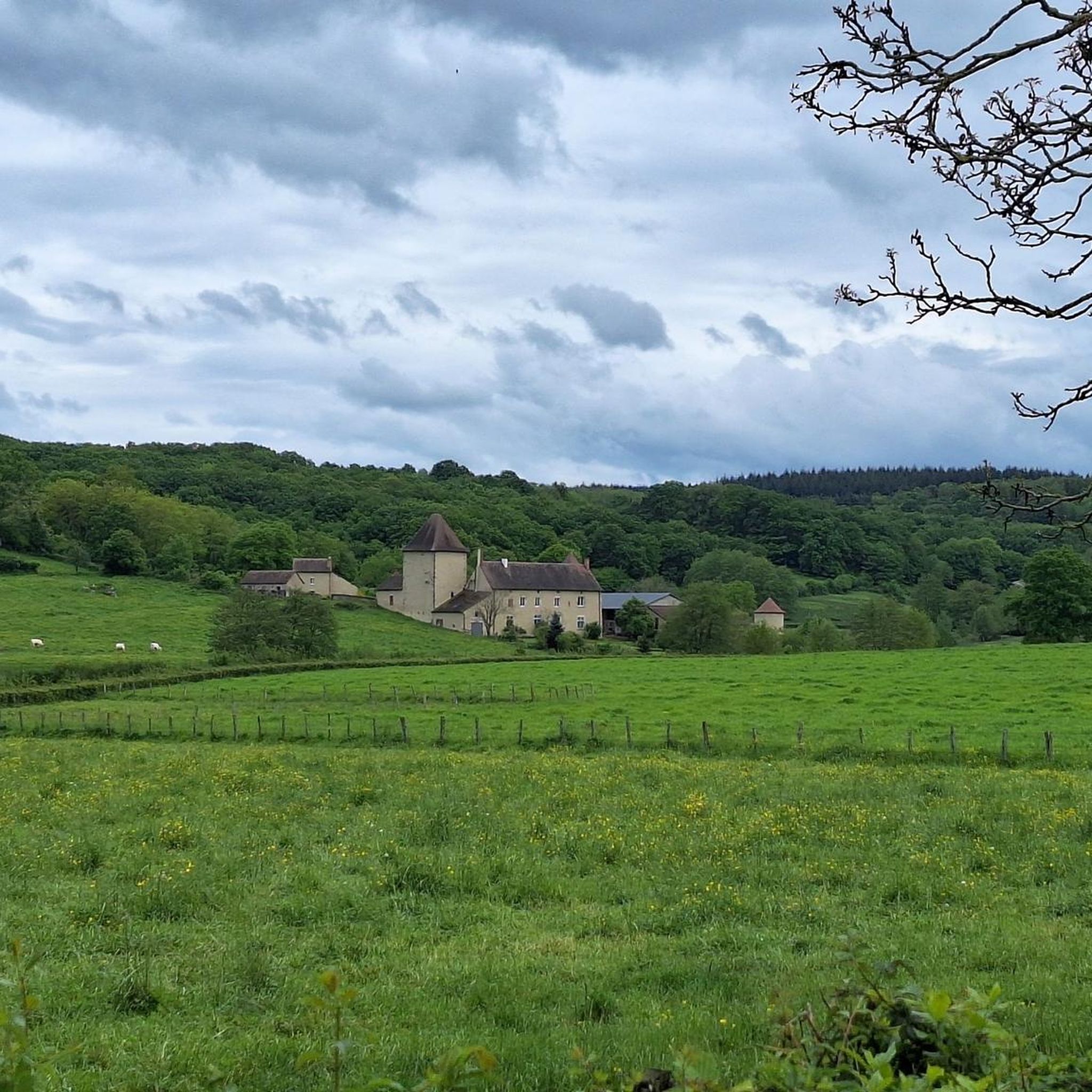
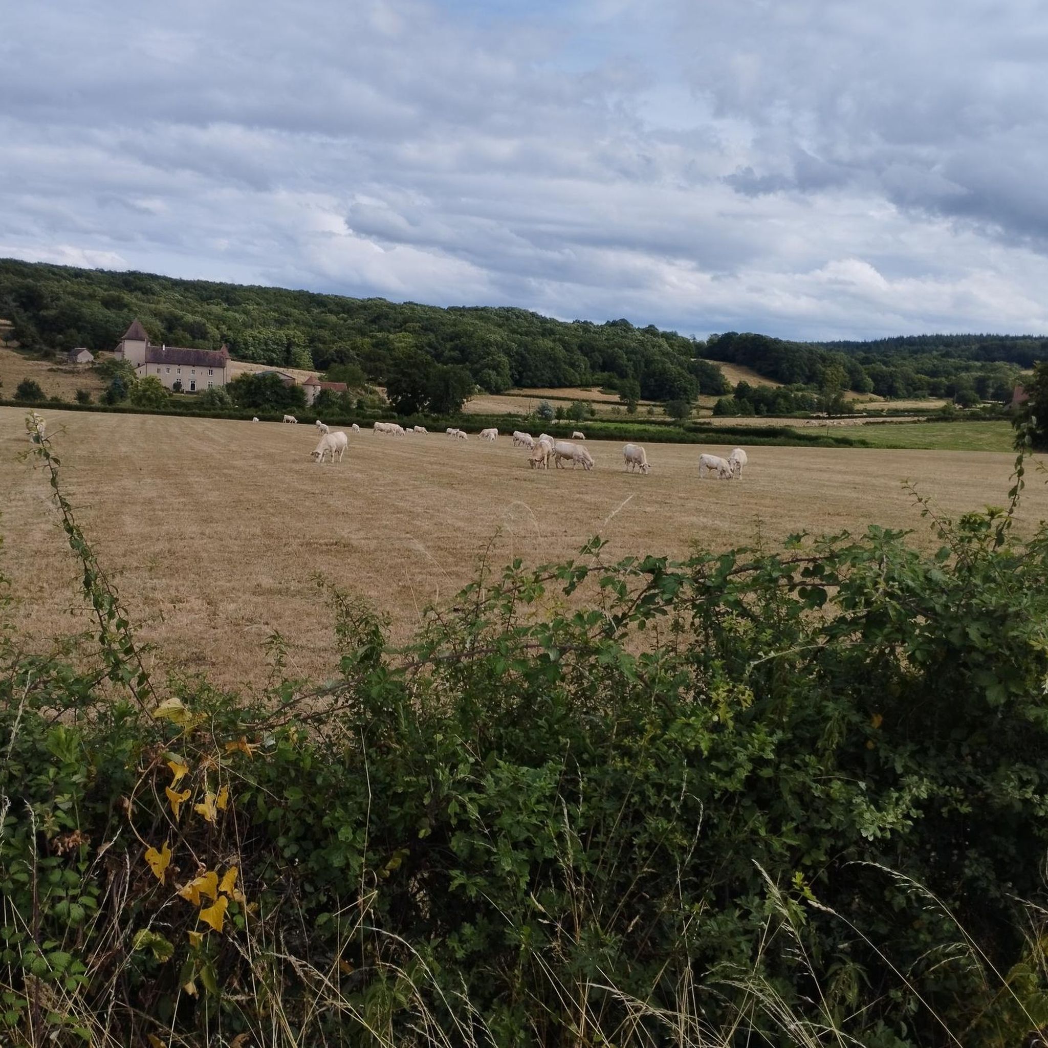
Gravel biking around Martigny-Le-Comte explores the varied terrain of the Charolais countryside in Saône-et-Loire, France. The region features rolling hills and valleys, with elevations ranging from approximately 965 feet (294 meters) to 1,483 feet (452 meters). Riders will encounter verdant pastures, rivers such as the Arconce and Sonnette, and numerous ponds, often with routes along their banks. The landscape also includes sections through forests like Bois de Montchappa and Forêt d'Avaise, offering a mix of open and shaded paths suitable for gravel bikes.
Best gravel bike trails around Martigny-Le-Comte
- The most popular gravel bike trail is Port Génelard loop from Génelard, a 40.6 miles (65.4 km) trail that takes about 4 hours 21 minutes to complete. This difficult route features substantial elevation gain through the rural landscape.
- Another top favourite among local gravel bikers is Château de Digoine – Palinges loop from Palinges, a moderate 22.3 miles (36.0 km) path. This route passes by the historic Château de Digoine and offers scenic views of the surrounding countryside.
- Local gravel bikers also love the Marizy loop from Le Ravent, a 12.6 miles (20.4 km) trail leading through the diverse terrain of the Marizy area, often completed in about 1 hour 40 minutes.
- Gravel biking around Martigny-Le-Comte is defined by rolling hills, river valleys, and canal paths, including sections of the Canal du Centre. The network offers options for different ability levels, from moderate rides to more challenging routes with significant climbs.
- The guide includes highly-rated routes that showcase the best of the region's landscape. More than 10 gravel bikers have used komoot to explore Martigny-Le-Comte's varied terrain.
Last updated: July 4, 2026
2
riders
34.4km
02:22
400m
400m
Moderate gravel ride. Good fitness required. Mostly paved surfaces. Suitable for all skill levels.
3
riders
67.2km
04:26
780m
780m
Hard gravel ride. Very good fitness required. Mostly paved surfaces. Suitable for all skill levels.

Sign up for free
3
riders
65.8km
04:44
1,040m
1,040m
Hard gravel ride. Very good fitness required. Mostly paved surfaces. Suitable for all skill levels.
1
riders
20.4km
01:26
240m
240m
Moderate gravel ride. Good fitness required. Mostly paved surfaces. Suitable for all skill levels.
2
riders
48.4km
03:32
890m
890m
Hard gravel ride. Very good fitness required. Mostly paved surfaces. Suitable for all skill levels.
Our route recommendations are based on thousands of hikes, rides, and runs completed by other people on komoot.
Start today with a free account
Your next adventure awaits.
Login or Signup
Tips from the Community

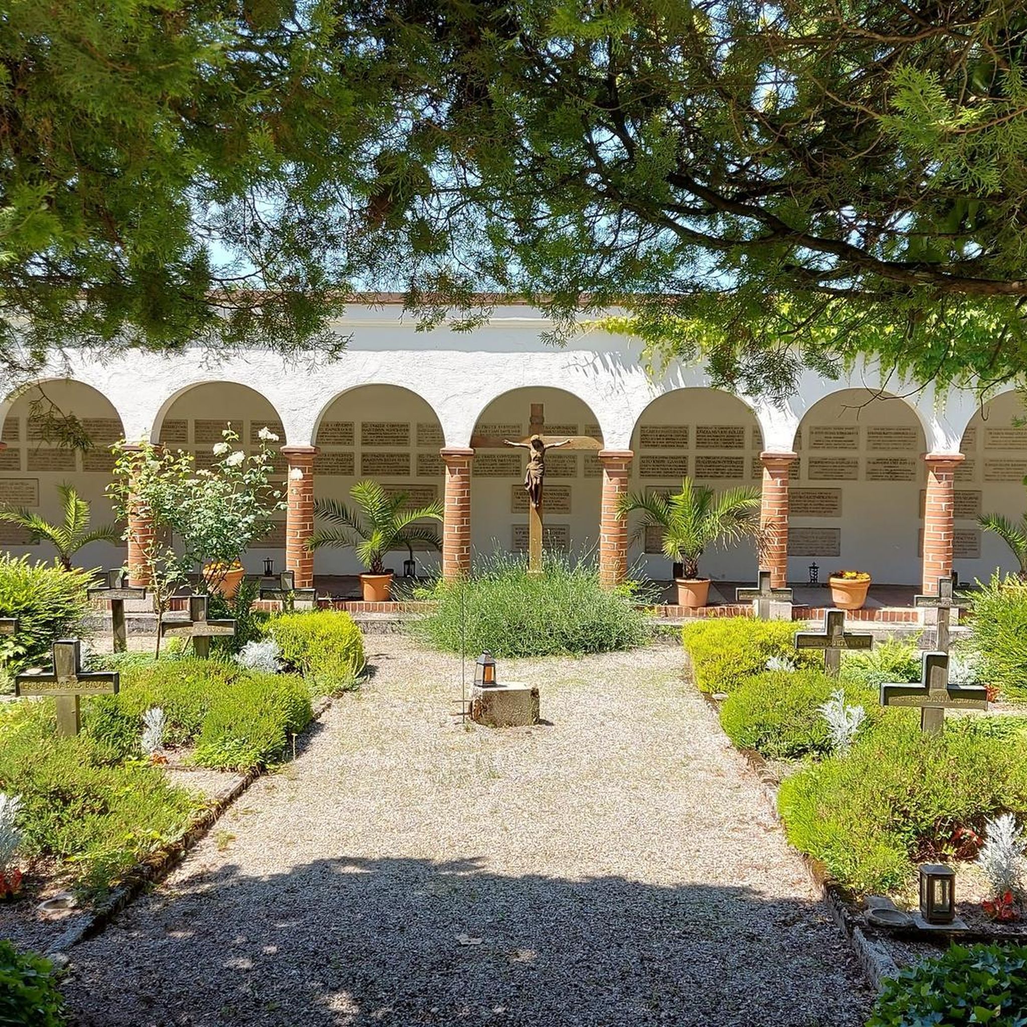
The KKriegerdenkmal commemorates the fallen of the World Wars. In November 1943, the site played a role in the French Resistance when local Maquisards (resistance fighters) marched to the monument to lay a wreath, despite the German occupation.
0
0
The Église Saint-Barthélemy is a charming village church, rebuilt in the 19th century in the neo-Gothic style. It has a historical, considerably older bell tower in the Romanesque style. The church is part of the Roman Catholic parish of Sainte-Marie-sous-Dun in the Diocese of Autun.
0
0
The gradient on this final section noticeably increases. If you approach from Montmelard via the Route de Saint-Cyr, you will face an average gradient of 8.5%, which can become even steeper in short ramps in the final metres.
0
0
Mont Saint-Cyr is located in southern Burgundy (Saône-et-Loire department) in the municipality of Montmelard and, at 771 meters, is the highest point of the Mâconnais mountains. From the summit, there is a wide panoramic view of the surrounding landscapes of Charolais, Brionnais, and Clunisois. In very clear weather, the view extends eastwards to Mont Blanc in the Alps. On the mountain are the historical remains of a 10th-century monastery, which was destroyed during the Huguenot Wars. There is a picnic area in the forest as well as orientation panels that are helpful in identifying the surrounding peaks and valleys.
0
0


The charming Église de l'Assomption (Church of the Assumption) is located in the heart of the village, directly on the EuroVelo 6 cycle route. The parish church originally dates back to the 12th century. The church in Palinges was largely rebuilt in the 19th century in the Neo-Romanesque style. From the Romanesque period, it still retains the transept, the apses, and the bell tower.
1
0

Incredible views of everything. A rather strenuous climb by bike, but you're rewarded with a magnificent panorama.
0
0
Incredible views of everything. A rather strenuous climb by bike, but you're rewarded with a magnificent panorama.
0
0
Frequently Asked Questions
How many gravel bike trails are available around Martigny-Le-Comte?
There are 4 gravel bike trails documented in this guide for the Martigny-Le-Comte area, offering a range of experiences from moderate to difficult.
Are there any easy gravel bike trails suitable for beginners in Martigny-Le-Comte?
The routes in this guide are rated moderate to difficult, with the shortest being the Marizy loop from Le Ravent at 12.6 miles (20.4 km). While the Charolais countryside offers varied terrain, beginners should be prepared for some elevation changes on these specific routes.
What kind of terrain can I expect on gravel bike trails near Martigny-Le-Comte?
You can expect a mix of rolling meadows, bocage landscapes with hedged fields, and sections through forests like Bois de Montchappa and Forêt d'Avaise. Many routes also follow rivers such as the Arconce and Sonnette, or pass by numerous ponds, providing diverse scenery.
Are there any circular gravel bike routes in the area?
Yes, all the routes featured in this guide are circular loops. For example, you can explore the Château de Digoine – Palinges loop from Palinges or the more challenging Port Génelard loop from Génelard.
What are some notable landmarks or attractions I can see while gravel biking around Martigny-Le-Comte?
Many routes offer views of the picturesque Charolais countryside. The Château de Digoine – Palinges loop from Palinges passes by the historic Château de Digoine. You might also encounter sections along the historic Canal du Centre, offering scenic views and glimpses of local villages.
Are there any longer, more challenging gravel bike routes for experienced riders?
Yes, for experienced riders seeking a challenge, the Port Génelard loop from Génelard is a difficult 40.6-mile (65.4 km) route with substantial elevation gain. Another difficult option is the Montmelard – Mount St. Cyr loop from Vendenesse-lès-Charolles, covering 48.4 miles (77.9 km) with significant climbs.
What is the best time of year for gravel biking in Martigny-Le-Comte?
The rolling Charolais countryside is beautiful throughout much of the year. Spring and autumn generally offer pleasant temperatures and vibrant scenery, making them ideal for exploring the varied terrain. Summer can also be great, but be mindful of warmer temperatures.
Are there opportunities to see wildlife while gravel biking in this region?
The Martigny-Le-Comte area, with its forests, meadows, and waterways, provides a habitat for various wildlife. While specific sightings are never guaranteed, riding through areas like Bois de Montchappa or along the Arconce river increases your chances of encountering local fauna.
What are the elevation changes like on these gravel bike trails?
The terrain in Martigny-Le-Comte varies in altitude from 294 meters to 452 meters. The routes in this guide feature significant elevation changes, with difficult trails like the Montmelard – Mount St. Cyr loop having over 890 meters of ascent, providing a good workout.
Can I find routes that follow waterways or canals?
Yes, the region is characterized by rivers such as the Arconce and numerous ponds, with many routes incorporating paths along their banks. The historic Canal du Centre also offers appealing cycling routes through scenic landscapes and villages.
Most popular routes around Martigny-Le-Comte
Most popular attractions around Martigny-Le-Comte

Get inspired with the komoot mobile app


Explore more
Browse the best Gravel rides in other regions.
