The best gravel rides around Juvigné
4.5
(3)
35
riders
6
rides
Gravel biking around Juvigné offers varied terrain across the Mayenne department in Pays de la Loire, France. The region features a network of rural paths, converted railway lines, and rolling countryside. Notable physical features include the "collines du Maine" (hills of Maine) with elevations reaching around 200 meters, and surrounding forests such as Forêt du Pertre and Forêt de Fougères. The area also incorporates the Fougères–Vitré Greenway, an old railway line suitable for cycling.
Best gravel bike trails around Juvigné
…Last updated: July 4, 2026
5.0
(2)
19
riders
41.3km
02:14
220m
220m
Moderate gravel ride. Good fitness required. Mostly paved surfaces. Suitable for all skill levels.
6
riders
46.4km
03:13
570m
580m
Hard gravel ride. Very good fitness required. Mostly paved surfaces. Suitable for all skill levels.

Sign up for free
1
riders
42.3km
02:21
340m
340m
Hard gravel ride. Good fitness required. You may need to push your bike for some segments of this route.
5
riders
15.7km
01:08
140m
130m
Easy gravel ride. Great for any fitness level. Mostly paved surfaces. Suitable for all skill levels.
4.0
(1)
1
riders
62.4km
03:35
540m
540m
Hard gravel ride. Very good fitness required. You may need to push your bike for some segments of this route.
Our route recommendations are based on thousands of hikes, rides, and runs completed by other people on komoot.
Start today with a free account
Your next adventure awaits.
Login or Signup

Tips from the Community

The construction of the Notre-Dame de Pocé les Bois church dates from 1890 by architect Regnault. The interior of the church houses a 15th-century polychrome wooden Christ on the cross and an 18th-century polychrome wooden Virgin and Child.
0
0

The Église Saint-Léonard was built in the 12th century and acquired its present form in the flamboyant Gothic style in the 15th and 16th centuries. During the French Revolution, the church was deprived of its sacred function, but in the 19th century, under architects such as Aristide Tourneux, it underwent extensive renovations, including a new main façade with a large rose window. Inside, 19th-century stained-glass windows depicting episodes from the life of Saint Léonard can be seen.
1
0
The cadastral records of the Château Fort de Fougères mention two towers—the Tour Raoul and the Tour Surienne (also called "tour de Surienne")—dated between 1480 and 1485. The tower was part of the fortifications that were reinforced or rebuilt in the 15th century.
1
0

The renowned landscape painter and avant-garde colorist Emmanuel de la Villéon, who associated with the greatest independent painters of his time, experimented with different styles and brushstrokes. This collection of oil, pastel, gouache, charcoal, and ink paintings traces his career through selected works. The museum is usually open during school holidays in Zone B. The museum is currently closed due to leaks!
1
0

Bird watching possible!
0
0

The Tour Surienne was named after Françoise de Surienne. In March 1449, in the midst of a truce between France and England, François de Surienne, a Spanish mercenary in the pay of the English, attacked in the dead of night with his 600 men. The inhabitants were slaughtered and the city plundered. In 1450, Surienne settled there and entrenched himself. Only after a two-month siege by Francis I, Duke of Brittany, who was aided by a plague epidemic, did Surienne surrender.
0
0
The largest fortress in Europe, the castle of Fougères stands on a rocky outcrop surrounded by marshland. The first castle of Fougères was built around the turn of the millennium to defend the north-eastern part of the border area of the Duchy of Brittany. Built at the crossroads of important trade routes, this primitive fortress had the main objective of monitoring the powerful neighbors and preventing their raids on Breton lands. To the north, Normandy belonged to the kings of England at the time.
4
1
Frequently Asked Questions
What kind of terrain can I expect on gravel bike trails around Juvigné?
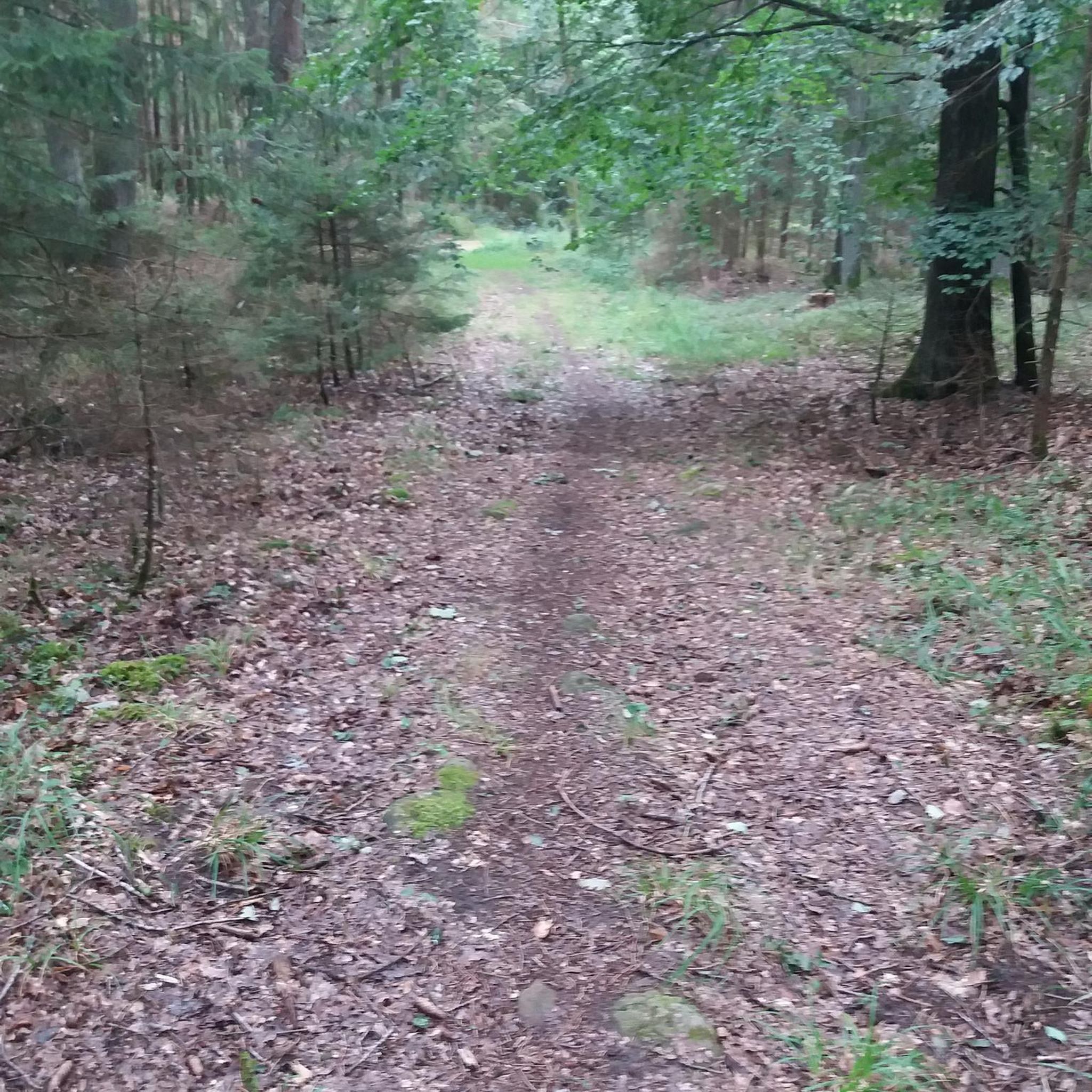
Juvigné is characterized by the "collines du Maine" (hills of Maine), offering a varied and engaging terrain. You'll find a mix of quiet country lanes, disused railway lines, and dedicated greenways, alongside dirt tracks and singletrack sections. The landscape includes rolling hills, wooded rural paths, and agricultural scenery, providing diverse routes for all levels.
Are there any beginner-friendly gravel routes in the Juvigné area?
While many routes in the immediate vicinity are rated moderate to difficult, the broader region, particularly the Fougères–Vitré Greenway, offers excellent options for beginners. This old railway line has been converted into a bike path, providing a flat surface with smooth gravel and no traffic, ideal for those new to gravel biking or looking for a relaxed ride. Within the komoot guide, you'll find routes like Bridge over the Ernée in Chailland – The Ernée loop from Chailland and The Ernée – Bridge over the Ernée in Chailland loop from Montenay, both rated as moderate, which could be suitable for those with some cycling experience.
What are some scenic natural features to look out for on gravel rides near Juvigné?
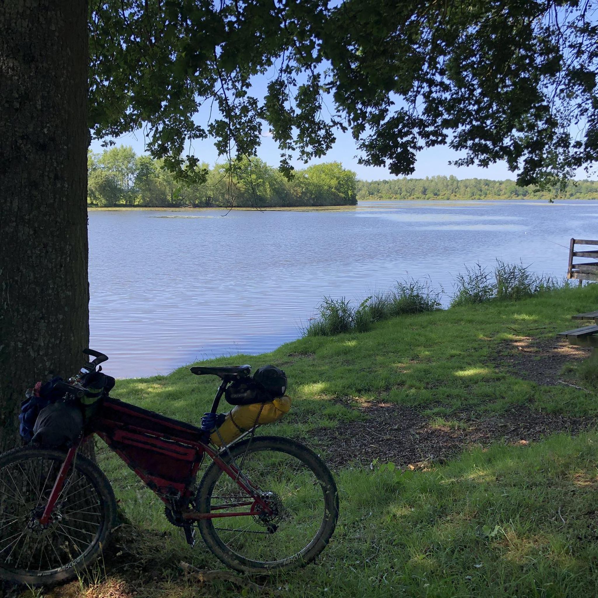
The region boasts several beautiful natural features. You can ride around the tranquil Cantache Pond, which is part of a sensitive natural area important for water birds. The routes also frequently pass through wooded areas like Forêt du Pertre and Forêt de Fougères, offering shaded sections and a sense of immersion in nature. The "collines du Maine" provide picturesque rolling landscapes and deep valleys.
Are there any circular gravel bike routes available around Juvigné?
Yes, many of the gravel routes around Juvigné are designed as loops, allowing you to start and end at the same point. Examples include the challenging Beautiful Singletrack – The Ernée loop from Ernée, which takes you along the Ernée river, and the scenic Cantache Pond – Cantache dam loop from Bourgon, offering extensive views around the water.
What cultural or historical points of interest can I visit while gravel biking in Juvigné?
Beyond the natural beauty, you can encounter charming local heritage. The Notre-Dame-de-l'Assomption Church of Chailland is a notable neo-Gothic building in a picturesque village. The region is also close to historic towns like Vitré and Fougères, both featuring impressive castles, which can be excellent destinations for longer rides or day trips. Juvigné itself is known as the 'Village of Flowers' and has a small farming museum.
Is it possible to access gravel trails near Juvigné using public transport?
While Juvigné itself is a rural area, the broader Laval Agglomération, which includes Juvigné, is actively promoting cycling. For specific public transport options that accommodate bikes, especially for reaching trailheads, it's advisable to check local bus or train services in nearby larger towns like Laval or Vitré, and their policies on bike carriage. Planning your route to start from a town with a train station might offer more flexibility.
What is the best time of year to go gravel biking in Juvigné?
The spring and autumn months generally offer the most pleasant conditions for gravel biking in Juvigné, with milder temperatures and beautiful scenery. Spring brings blooming flowers, while autumn showcases vibrant foliage. Summer can also be enjoyable, especially on shaded routes through forests, but be prepared for warmer weather. Winter riding is possible, but trails might be muddier, and daylight hours are shorter.
Are there any places to eat or drink along the gravel routes near Juvigné?
Yes, you can find spots to refuel. For example, the Guinguette de Villanfray is listed as a café highlight in the area, offering a potential stop for refreshments. Many of the routes pass through or near small villages where you might find local bakeries or small eateries. It's always a good idea to carry sufficient water and snacks, especially on longer rides, as services can be sparse in rural areas.
How many gravel biking routes are available in the Juvigné area on komoot?
There are several dedicated gravel biking routes around Juvigné featured on komoot, offering a range of distances and difficulties. This guide highlights five distinct routes, including moderate and difficult options, allowing you to explore the diverse landscapes of the Mayenne department.
What makes Juvigné a good destination for gravel biking?
Juvigné is part of a region branded as a "Destination Gravel," thanks to its varied terrain, extensive network of rural paths, and commitment to cycling infrastructure. The area offers a mix of challenging hills, serene forest trails, and smooth greenways, catering to both experienced riders and those looking for a scenic, traffic-free experience. The combination of natural beauty, quiet country lanes, and charming villages creates an ideal setting for gravel biking adventures.
Are there any long-distance gravel routes starting near Juvigné?
For those seeking longer adventures, the region offers routes that can be linked or extended. The Cantache Pond – Cantache dam loop from Bourgon is the longest route in this guide, covering over 60 kilometers. Additionally, the Fougères–Vitré Greenway, an old railway line, provides a long, continuous, and smooth gravel path that can be incorporated into extended tours, connecting various castle towns and offering significant mileage.
Most popular attractions around Juvigné

Get inspired with the komoot mobile app


Explore more
Browse the best Gravel rides in other regions.
