The best gravel rides around Saint-Aubin-En-Charollais
11
riders
3
rides
Gravel biking around Saint-Aubin-En-Charollais offers diverse terrain within the Saône-et-Loire department of Burgundy-Franche-Comté. The region is characterized by rolling hills, lush meadows, and a network of rural paths and unpaved tracks. Cyclists can explore vineyard landscapes and quiet country lanes, providing varied surfaces for gravel riding. The area's natural features include elevation changes from the Charolais hills and pastoral countryside.
Best gravel bike trails around Saint-Aubin-En-Charollais
- The most popular gravel bike trail is Port Génelard loop from Génelard, a…
Last updated: July 17, 2026
2
riders
34.4km
02:22
400m
400m
Moderate gravel ride. Good fitness required. Mostly paved surfaces. Suitable for all skill levels.
3
riders
67.2km
04:26
780m
780m
Hard gravel ride. Very good fitness required. Mostly paved surfaces. Suitable for all skill levels.

Sign up for free
3
riders
66.2km
04:47
1,060m
1,060m
Hard gravel ride. Very good fitness required. Mostly paved surfaces. Suitable for all skill levels.
1
riders
20.4km
01:26
240m
240m
Moderate gravel ride. Good fitness required. Mostly paved surfaces. Suitable for all skill levels.
2
riders
48.4km
03:32
890m
890m
Hard gravel ride. Very good fitness required. Mostly paved surfaces. Suitable for all skill levels.
Our route recommendations are based on thousands of hikes, rides, and runs completed by other people on komoot.
Start today with a free account
Your next adventure awaits.
Login or Signup
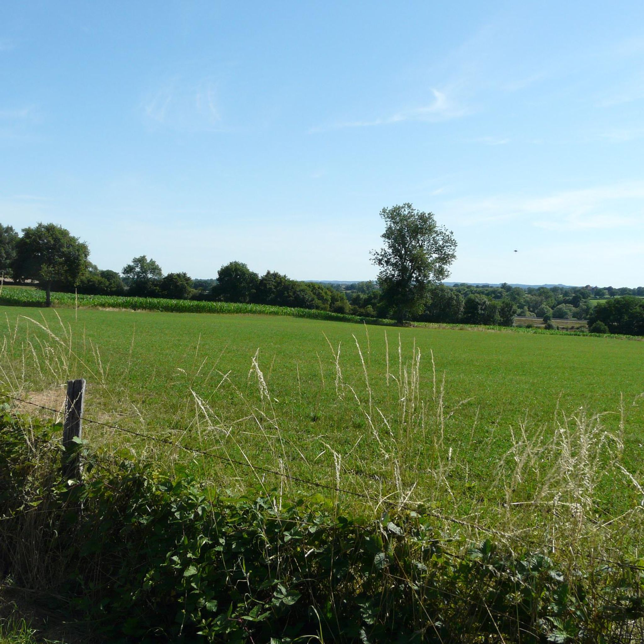



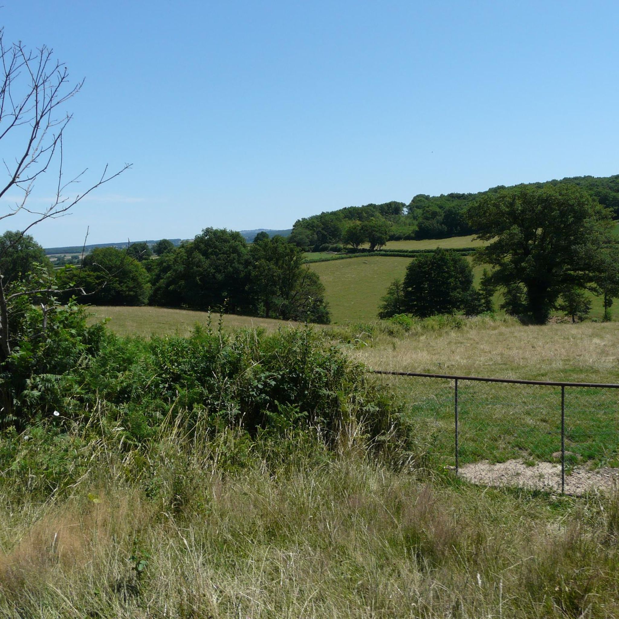
Tips from the Community

The KKriegerdenkmal commemorates the fallen of the World Wars. In November 1943, the site played a role in the French Resistance when local Maquisards (resistance fighters) marched to the monument to lay a wreath, despite the German occupation.
0
0
The Église Saint-Barthélemy is a charming village church, rebuilt in the 19th century in the neo-Gothic style. It has a historical, considerably older bell tower in the Romanesque style. The church is part of the Roman Catholic parish of Sainte-Marie-sous-Dun in the Diocese of Autun.
0
0
The gradient on this final section noticeably increases. If you approach from Montmelard via the Route de Saint-Cyr, you will face an average gradient of 8.5%, which can become even steeper in short ramps in the final metres.
0
0
Mont Saint-Cyr is located in southern Burgundy (Saône-et-Loire department) in the municipality of Montmelard and, at 771 meters, is the highest point of the Mâconnais mountains. From the summit, there is a wide panoramic view of the surrounding landscapes of Charolais, Brionnais, and Clunisois. In very clear weather, the view extends eastwards to Mont Blanc in the Alps. On the mountain are the historical remains of a 10th-century monastery, which was destroyed during the Huguenot Wars. There is a picnic area in the forest as well as orientation panels that are helpful in identifying the surrounding peaks and valleys.
0
0


The charming Église de l'Assomption (Church of the Assumption) is located in the heart of the village, directly on the EuroVelo 6 cycle route. The parish church originally dates back to the 12th century. The church in Palinges was largely rebuilt in the 19th century in the Neo-Romanesque style. From the Romanesque period, it still retains the transept, the apses, and the bell tower.
1
0

Incredible views of everything. A rather strenuous climb by bike, but you're rewarded with a magnificent panorama.
0
0
Incredible views of everything. A rather strenuous climb by bike, but you're rewarded with a magnificent panorama.
0
0
Frequently Asked Questions
What kind of terrain can I expect on gravel bike trails around Saint-Aubin-En-Charollais?
The region is characterized by its distinct "bocage" landscape, a mosaic of small fields, hedges, and scattered woodlands. You'll encounter rolling hills, verdant pastures, and a network of rural paths and unpaved tracks, offering varied surfaces for gravel riding. Expect elevation changes from the Charolais hills and pastoral countryside.
Are there challenging gravel routes for experienced riders?
Yes, for experienced riders seeking a challenge, routes with significant elevation gain are available. The Port Génelard loop from Génelard is a difficult 65.4 km trail with substantial climbs. Another demanding option is the Montmelard – Mount St. Cyr loop from Vendenesse-lès-Charolles, which offers expansive views from higher elevations over 48.4 km.
Are there easier gravel routes suitable for beginners or families?
Yes, there are moderate routes that are well-suited for less experienced riders or families. The Château de Digoine – Palinges loop from Palinges is a moderate 36.0 km trail leading through varied terrain. Another good option is the Marizy loop from Le Ravent, a moderate 20.4 km route.
What attractions can I see along the gravel bike trails?
Several routes pass by notable landmarks. The Château de Digoine – Palinges loop from Palinges takes you past the splendid Château de Digoine. The nearby town of Palinges also offers its water plan for relaxation. The significant Basilica of Paray-le-Monial is also just 9 km from Saint-Aubin-En-Charollais and can be integrated into longer rides.
Are there any circular gravel bike routes in the area?
Yes, many of the gravel routes around Saint-Aubin-En-Charollais are designed as loops, allowing you to start and finish at the same point. Examples include the challenging Port Génelard loop from Génelard, the scenic Montmelard – Mount St. Cyr loop from Vendenesse-lès-Charolles, and the moderate Château de Digoine – Palinges loop from Palinges.
What is the best time of year for gravel biking in Saint-Aubin-En-Charollais?
The Charolais region, with its rolling hills and open landscapes, is generally pleasant for gravel biking from spring through autumn. Spring brings lush greenery and blooming fields, while autumn offers vibrant colors. Summer can be warm, so early morning or late afternoon rides are often preferred. Always check local weather conditions before heading out.
Are there any specific events or challenges for gravel biking in the region?
The broader Southern Burgundy region, where Saint-Aubin-En-Charollais is located, is recognized for its cycling infrastructure. The "Cyclo Sud Bourgogne" event, for instance, features dedicated gravel courses, highlighting the region's appeal for this sport. While not directly in Saint-Aubin-En-Charollais, it underscores the area's suitability for gravel biking.
Can I find places to eat or drink along the gravel routes?
While specific cafes directly on every trail are not guaranteed, the routes often pass through or near charming towns and villages in the Charolais region, such as Palinges or Charolles. These settlements typically offer opportunities for refreshments, local cuisine, or picnic supplies. Planning your route with potential stops in mind is advisable.
What natural features define the landscape for gravel biking here?
The primary natural feature is the quintessential Charolais bocage, characterized by its hedgerows, small fields, and scattered woodlands, creating a tranquil and scenic backdrop. The Bourbince river also forms part of the commune's western border, potentially offering routes along waterways. The region is part of the broader Saône-et-Loire department, known for its diverse natural beauty.
How many gravel bike routes are available around Saint-Aubin-En-Charollais on komoot?
Komoot features several gravel bike routes around Saint-Aubin-En-Charollais, catering to various skill levels. You can find options ranging from moderate to difficult, allowing you to explore the diverse terrain of the Charolais region.
Most popular routes around Saint-Aubin-En-Charollais
Most popular attractions around Saint-Aubin-En-Charollais

Get inspired with the komoot mobile app


Explore more
Browse the best Gravel rides in other regions.
