The best gravel rides around Bussières
4.0
(1)
12
riders
1
ride
Gravel bike trails around Bussières offer a diverse landscape for cycling enthusiasts. The region features extensive forests and natural reserves, providing varied terrain for gravel routes. Riders can expect a mix of challenging ascents and scenic paths, often alongside water bodies like lakes and rivers. The area's geological features include rolling countryside and wooded groves, suitable for different skill levels.
Best gravel bike trails around Bussières
- The most popular gravel bike trail is Small Bridge Over Stream – Col de…
Last updated: July 4, 2026
4.0
(1)
6
riders
74.4km
05:26
1,240m
1,240m
Hard gravel ride. Very good fitness required. Mostly paved surfaces. Suitable for all skill levels.
1
riders
38.2km
03:02
650m
650m
Hard gravel ride. Very good fitness required. Mostly paved surfaces. Suitable for all skill levels.

Sign up for free
2
riders
26.1km
02:23
680m
670m
Hard gravel ride. Very good fitness required. Mostly paved surfaces. Suitable for all skill levels.
2
riders
60.0km
04:50
1,140m
1,140m
Hard gravel ride. Very good fitness required. Mostly paved surfaces. Suitable for all skill levels.
1
riders
20.2km
01:28
380m
380m
Moderate gravel ride. Good fitness required. Mostly paved surfaces. Suitable for all skill levels.
Our route recommendations are based on thousands of hikes, rides, and runs completed by other people on komoot.
Start today with a free account
Your next adventure awaits.
Login or Signup
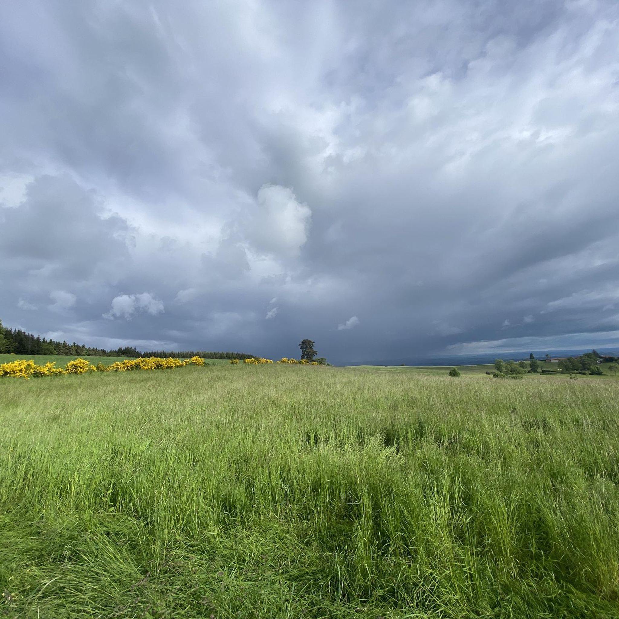
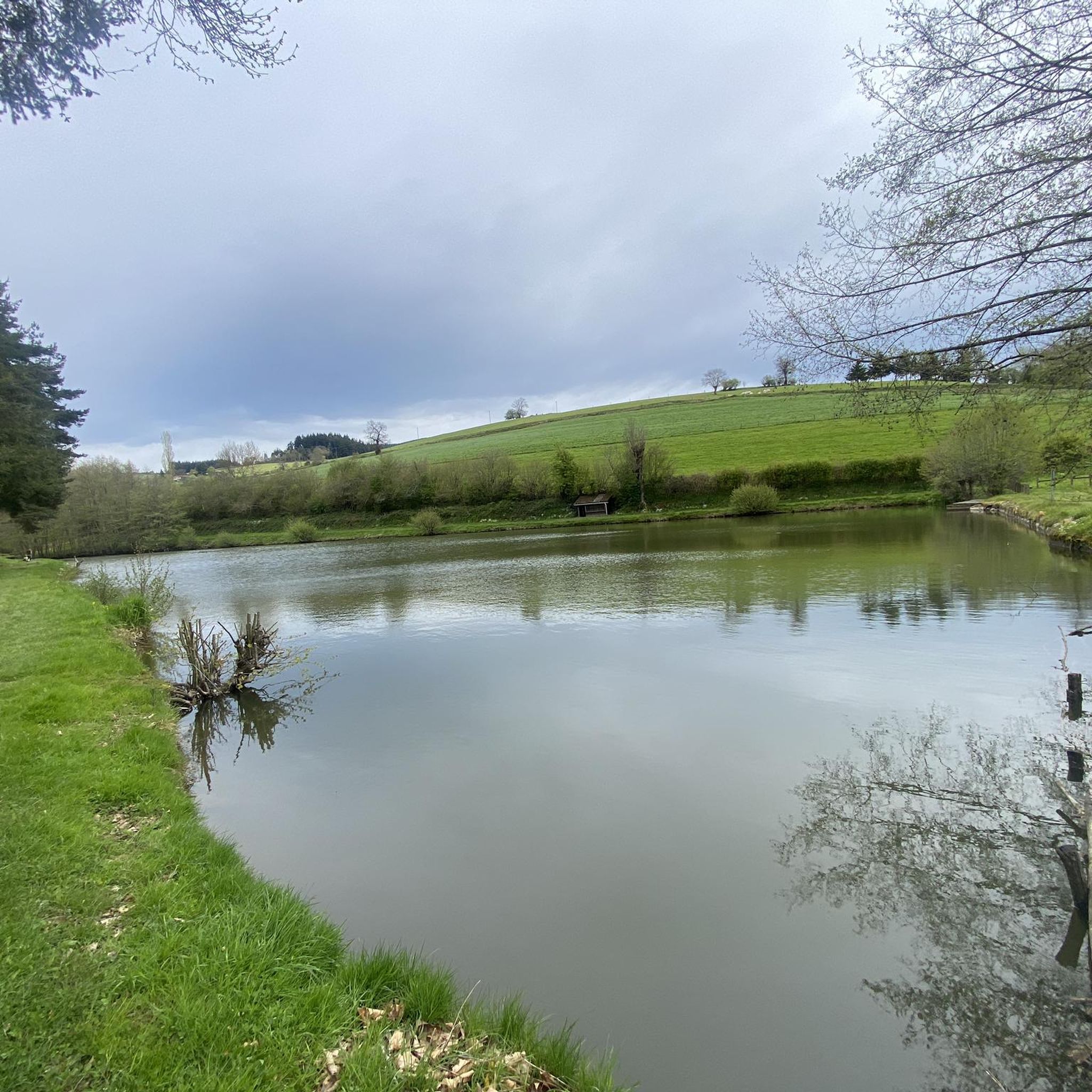


Tips from the Community

Center of the village of Chambost-Longessaigne and crossroads between the roads leading to Panissières and Villechenève
0
0

At the church you can take a wonderful rest and even borrow books to read.
0
0

take the stairs to Chemin du Tacot in Sainte Colombe
0
0

circuit with some slightly delicate passages but without great difficulty, a small part on the road but a very beautiful circuit to do.
0
0
very nice circuit with 2 difficult passages (lots of stones in the path) good physical conditions.
0
0
Frequently Asked Questions
How many gravel bike trails are available in Bussières?
There are 5 gravel bike routes documented around Bussières on komoot. These routes offer a variety of distances and elevations, catering to different preferences for exploring the region's diverse landscapes.
What kind of terrain can I expect on gravel bike trails around Bussières?
The terrain around Bussières is quite varied, reflecting the region's natural diversity. You can expect a mix of quiet forest roads, ancient tracks, and forgotten farm lanes. The area, similar to the broader Loire Valley, features extensive riversides, verdant pastoral countrysides, orchards, and oak forests. Some routes might include rolling hills and lush forests, providing both well-paved surfaces and more challenging unpaved segments.
Are there any challenging gravel bike routes in Bussières?
Yes, several routes around Bussières are considered challenging due to their distance and elevation gain. For instance, the Matagrin Tower – Matagrin Tower loop from Feurs covers over 74 km with more than 1200 meters of elevation gain. Another demanding option is the Medieval village of Néronde – Small Bridge Over Stream loop from Feurs, which is 60 km long with over 1100 meters of ascent.
Are there any moderate gravel bike routes suitable for less experienced riders?
While most routes listed are challenging, there is a moderate option available. The Town center – Donzy site loop from Chambost-Longessaigne is a good choice, covering just over 20 km with about 378 meters of elevation gain, making it more accessible for those looking for a less strenuous ride.
What natural features or landmarks can I see along the gravel bike trails in Bussières?
The region offers several interesting natural features and landmarks. You might encounter the Pinay Bridge over the Loire, offering scenic views of the river, or the impressive Chessieux Viaduct. For those who enjoy climbing, the Col de la Croix Cazard (865 m) provides a significant ascent and panoramic vistas. The area's diverse countryside, including riversides, pastoral lands, and forests, also offers plenty of natural beauty.
Are there any historical sites or cultural attractions accessible by gravel bike?
Yes, Bussières and its surroundings are rich in history. While specific routes might pass directly by them, the broader region features historical architecture like medieval castles and ancient churches. For example, the Saint Germain church, potentially dating back to 900 AD, and Grancey-le-Château Castle are notable examples in similar regions of France. You might also find charming villages like Pouilly-lès-Feurs, offering a glimpse into local culture.
Is parking available near the gravel bike trails in Bussières?
Many gravel bike routes in Bussières start from towns or villages like Feurs, Panissières, or Chambost-Longessaigne, where public parking is generally available. It's advisable to check local signage upon arrival for specific parking regulations and designated areas, especially in smaller hamlets.
Can I reach the gravel bike trails in Bussières using public transport?
Access to trailheads by public transport can vary. While larger towns in the region might have train or bus connections, reaching specific starting points for gravel routes, especially those in more rural areas, often requires a car. It's recommended to check local public transport schedules and routes in advance if you plan to rely on it.
What is the best time to visit Bussières for gravel biking?
The best time for gravel biking in Bussières, like much of France, is typically during the spring (April to June) and autumn (September to October). During these seasons, the weather is generally mild and pleasant, with less extreme heat than summer and fewer chances of heavy rain or snow than winter. The natural landscapes are also particularly beautiful, with spring blooms or autumn foliage.
Are there any long-distance gravel biking options in Bussières?
For those seeking longer rides, the Matagrin Tower – Matagrin Tower loop from Feurs is a substantial option, covering over 74 km. Another significant route is the Medieval village of Néronde – Small Bridge Over Stream loop from Feurs, which extends for 60 km. These routes provide ample distance for a full day of gravel biking adventure.
Can I find circular gravel bike routes in Bussières?
Yes, all the gravel bike routes listed for Bussières are designed as loops, allowing you to start and finish at the same point. Examples include the Matagrin Tower – Matagrin Tower loop from Feurs, the Donzy site – Small Bridge Over Stream loop from Feurs, and the Matagrin Tower – Matagrin Tower loop from Panissières.
Most popular attractions around Bussières

Get inspired with the komoot mobile app


Explore more
Browse the best Gravel rides in other regions.
