The best gravel rides around Villiers-Les-Hauts
4.6
(8)
80
riders
5
rides
Gravel biking around Villiers-Les-Hauts offers routes through a landscape characterized by river valleys, canals, and agricultural plains, with gentle rolling hills. The region features a mix of paved and unpaved surfaces, suitable for gravel bikes, including canal paths, forest tracks, and quiet country roads. Elevation changes are generally moderate, making the area accessible for various skill levels. The broader Yonne department and Burgundy region are known for their varied topography, including forests, valleys, and rural roads ideal for gravel cycling.
Best gravel bike trails around Villiers-Les-Hauts
- The most popular gravel bike trail is Noyers-sur-Serein – Ancy-le-Franc Castle loop from Étivey, a 39.1 miles (63.0 km) trail that takes 4 hours 9 minutes to complete. This difficult route features varied terrain suitable for experienced gravel bikers.
- Another top favourite among local gravel bikers is Canal de Bourgogne at Tanlay – Château de Tanlay loop from Lézinnes, an easy 25.4 miles (40.9 km) path. This route follows the Canal de Bourgogne, offering flat sections and scenic views of the waterway and local châteaux.
- Local gravel bikers also love the Montbard lock – Buffon's Big Forge loop from Cry, a 25.1 miles (40.4 km) trail leading through canal-side paths and rural areas, often completed in about 2 hours 23 minutes.
- Gravel biking around Villiers-Les-Hauts is defined by canal paths, agricultural landscapes, and quiet country roads. The routes offer options for different ability levels.
- The routes in Villiers-Les-Hauts are highly rated by the komoot community with an average score of 4.0 stars from over 3 reviews. More than 20 gravel bikers have used komoot to explore Villiers-Les-Hauts's varied terrain.
Last updated: July 4, 2026
5.0
(2)
24
riders
Hard gravel ride. Very good fitness required. Mostly paved surfaces. Suitable for all skill levels.
5.0
(2)
20
riders
108km
05:49
340m
340m
Hard gravel ride. Very good fitness required. Mostly paved surfaces. Suitable for all skill levels.

Sign up for free
5.0
(1)
13
riders
Easy gravel ride. Great for any fitness level. Mostly paved surfaces. Suitable for all skill levels.
3.0
(2)
10
riders
40.4km
02:23
170m
170m
Moderate gravel ride. Good fitness required. Mostly paved surfaces. Suitable for all skill levels.
1
riders
62.8km
04:08
610m
620m
Hard gravel ride. Very good fitness required. You may need to push your bike for some segments of this route.
Our route recommendations are based on thousands of hikes, rides, and runs completed by other people on komoot.
Start today with a free account
Your next adventure awaits.
Login or Signup
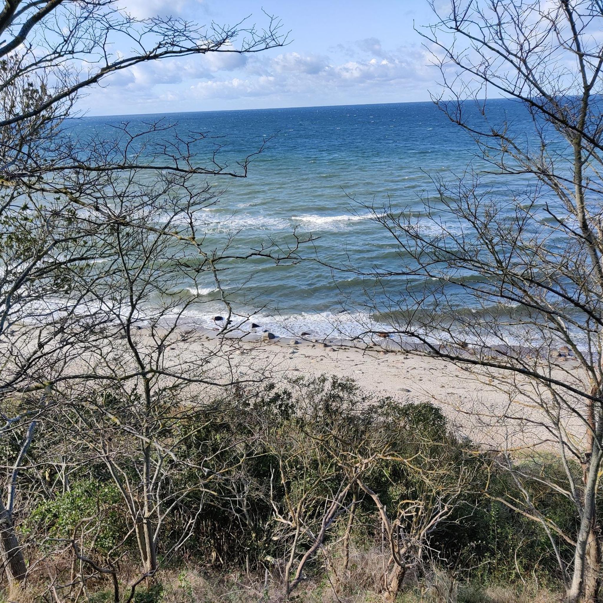
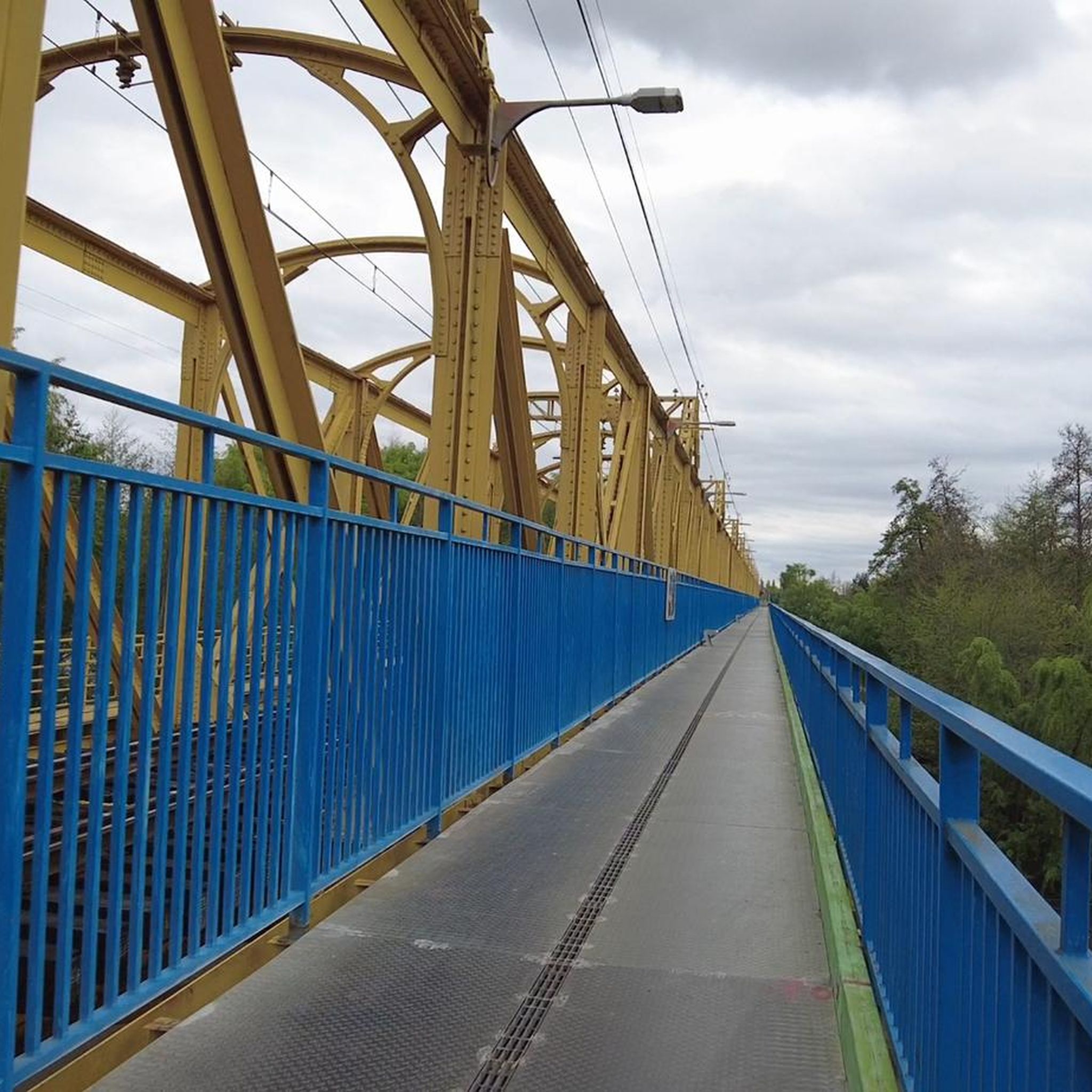
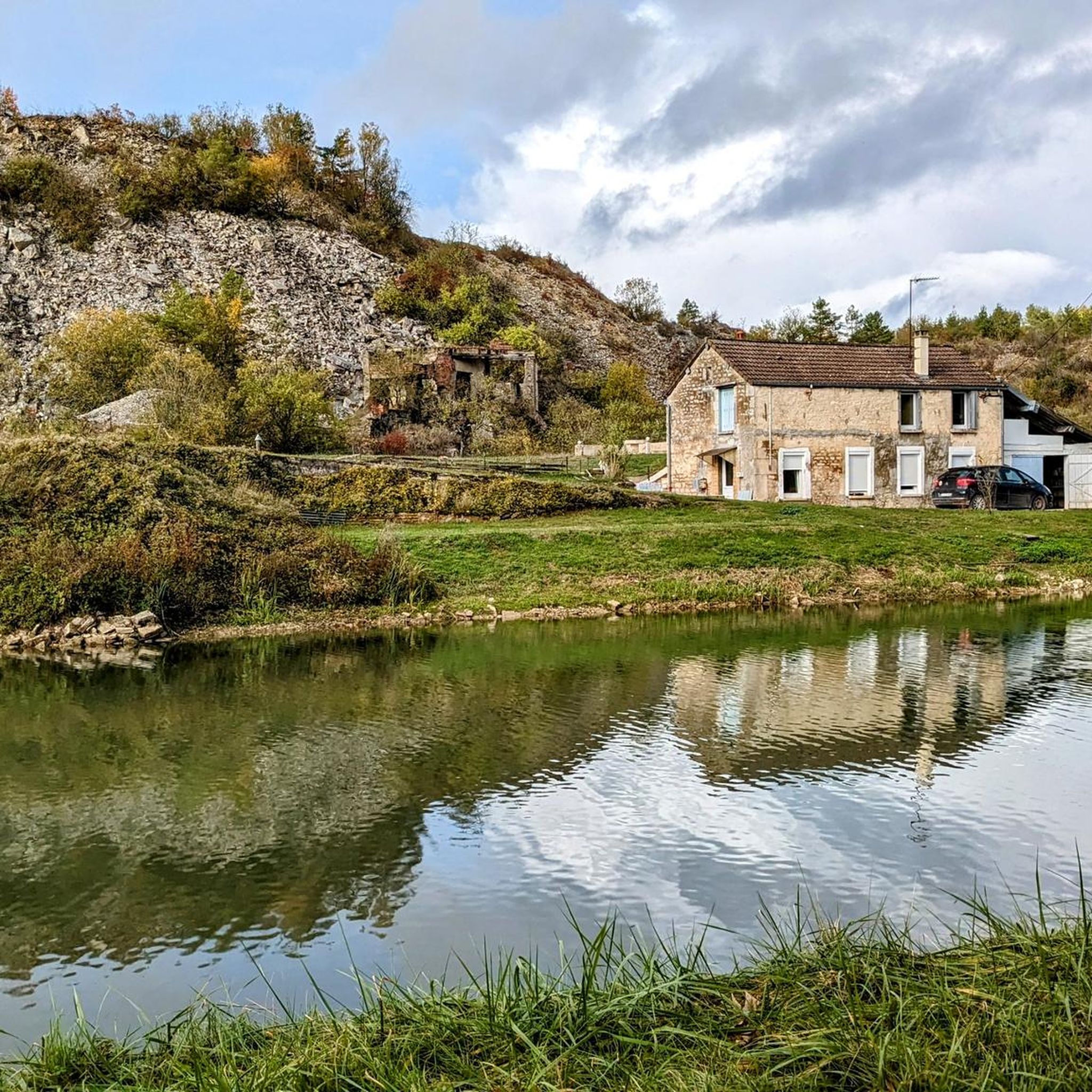
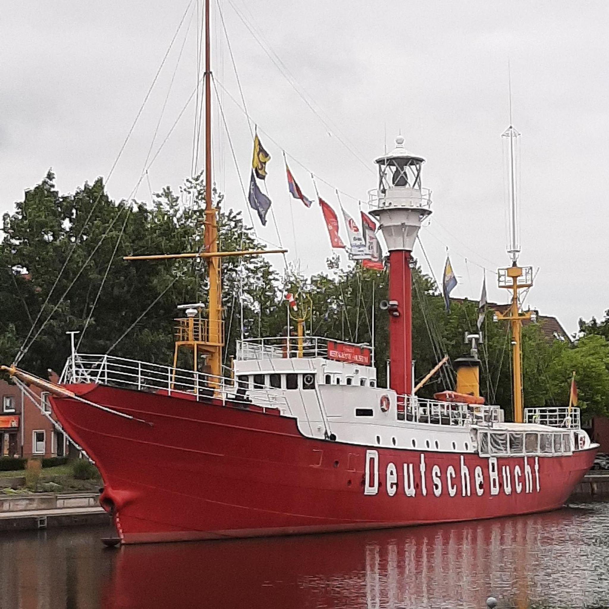
Tips from the Community

Magnificent Exterior Trompe l'oeil Gallery
0
0

Worth a visit, very beautiful inside and well preserved.
0
0

A "chemin de halage", in German "treidelpfad", which runs alongside the waterway right next to the bed of the river or canal, was an indispensable part of the transport infrastructure in earlier times. Before ships could move using motor power, horses ran along the bank and pulled the ship against the current. This was called "treideln", and that is how the "treidelpfad" got its name. Where these paths directly on the bank have been preserved, they are now popular with hikers and cyclists.
1
0

Impressive quarry overlooking the Burgundy Canal.
1
0

Very beautiful medieval bridge to Cry. There are also beautiful buildings to see in Cry itself.
1
1
Very nice lock, like the ones you see often along the way.
1
0

The park is very well maintained and invites you to relax, there is also a pool for hot days
3
0

Castle with a lot of atmosphere and very friendly hosts. The rooms are large and clean. The French breakfast is served on the first floor in a knightly atmosphere. A very good restaurant is only 2 minutes away.
3
0
Frequently Asked Questions
What kind of terrain can I expect on gravel bike trails around Villiers-Les-Hauts?
The region around Villiers-Les-Hauts offers a diverse landscape for gravel biking, characterized by river valleys, canals, and agricultural plains, with gentle rolling hills. You'll encounter a mix of paved and unpaved surfaces, including canal paths, forest tracks, and quiet country roads. Elevation changes are generally moderate, making it accessible for various skill levels.
Are there any beginner-friendly gravel bike routes in Villiers-Les-Hauts?
While many routes offer moderate sections, the listed tours tend towards moderate to difficult. For a more accessible experience, consider routes that follow the Canal de Bourgogne, which are generally flatter. For example, the Canal de Bourgogne at Tanlay – Château de Tanlay loop from Lézinnes is a moderate 24.7-mile (39.8 km) path that offers scenic views along the waterway.
What are the longer gravel bike routes available for experienced riders?
Experienced gravel bikers looking for longer challenges will find several difficult routes. The Tonnerre – Buffon's Big Forge loop from Nuits sous Ravières is a substantial 68.6-mile (110.5 km) trail, typically taking over 7 hours to complete. Another demanding option is the
Are there any circular gravel bike routes around Villiers-Les-Hauts?
Yes, many of the gravel bike routes in the area are designed as loops, allowing you to start and finish at the same point. Examples include the Canal de Bourgogne at Tanlay – Château de Tanlay loop from Lézinnes and the Canal de Bourgogne at Tanlay – Buffon's Big Forge loop from Nuits sous Ravières, both offering scenic circular journeys.
What kind of attractions can I see along the gravel bike trails?
The routes often pass by historical and natural points of interest. You might encounter significant landmarks like Buffon's Big Forge, charming settlements such as Noyers-sur-Serein, and impressive castles like Ancy-le-Franc Castle or Château de Nuits. The canal paths also offer views of engineering marvels like Lock 85 - Lezinnes.
What is the best time of year for gravel biking in Villiers-Les-Hauts?
The region's moderate elevation changes make it enjoyable across many seasons. Spring and autumn offer pleasant temperatures and beautiful scenery, with changing foliage or blooming landscapes. Summer is also suitable, though it's advisable to start earlier in the day to avoid the midday heat. Winter cycling is possible, but be prepared for potentially muddy sections on unpaved tracks and cooler temperatures.
Are there any moderate-difficulty gravel bike routes suitable for a day trip?
Yes, for a moderate day trip, consider the Montbard lock – Buffon's Big Forge loop from Cry. This route covers approximately 25 miles (40.4 km) and takes around 3 hours to complete, offering a balanced challenge and scenic views without being overly strenuous.
What do other gravel bikers say about the trails in Villiers-Les-Hauts?
The gravel biking routes around Villiers-Les-Hauts are highly rated by the komoot community, with an average score of 4.6 stars from over 10 reviews. Riders often praise the varied terrain, the peaceful canal paths, and the opportunity to explore the agricultural landscapes and historical sites of the region.
Are there options for parking at the trailheads?
While specific parking details for every trailhead are not provided, many routes start from villages or towns like Nuits sous Ravières, Lézinnes, or Cry, where public parking is generally available. It's always recommended to check local parking regulations and availability before your ride.
Can I find places to stop for refreshments or cafes along the routes?
The routes often pass through or near small villages and towns. While not explicitly detailed for every route, these settlements typically offer opportunities for refreshments, such as local cafes, bakeries, or small shops. Planning your stops in advance, especially on longer routes, is advisable.
How many gravel bike routes are available in the Villiers-Les-Hauts area?
There are 8 gravel bike routes documented in the Villiers-Les-Hauts area, offering a range of experiences from moderate to difficult. These routes provide ample opportunities to explore the region's unique landscape.
Most popular routes around Villiers-Les-Hauts
Most popular attractions around Villiers-Les-Hauts

Get inspired with the komoot mobile app


Explore more
Browse the best Gravel rides in other regions.
