The best gravel rides around Banca
4.8
(9)
43
riders
7
rides
Gravel biking around Banca offers challenging routes through the Pyrenean foothills. The region is characterized by dense forests, significant elevation changes, and mountain passes. Gravel bike trails in Banca often follow ancient paths and forest roads, providing a rugged experience. The terrain includes varied surfaces, from compacted earth to loose gravel, suitable for experienced riders.
Best gravel bike trails around Banca
- The most popular gravel bike trail is Forest Path Near Roncesvalles – Roncesvalles loop from Aurizberri, a 25.1…
Last updated: July 4, 2026
4.0
(1)
12
riders
37.6km
02:32
680m
680m
Hard gravel ride. Very good fitness required. Mostly paved surfaces. Suitable for all skill levels.
4.8
(4)
18
riders
51.6km
04:00
1,320m
1,320m
Hard gravel ride. Very good fitness required. Mostly paved surfaces. Suitable for all skill levels.

Sign up for free
5.0
(1)
7
riders
60.4km
04:29
1,360m
1,360m
Hard gravel ride. Very good fitness required. Mostly paved surfaces. Suitable for all skill levels.
5.0
(2)
2
riders
33.6km
02:42
940m
940m
Hard gravel ride. Very good fitness required. You may need to push your bike for some segments of this route.
5.0
(1)
4
riders
40.8km
02:49
720m
720m
Hard gravel ride. Very good fitness required. Mostly paved surfaces. Suitable for all skill levels.
Get access to more routes and recommendations from other explorers.
Sign up for free
Already have an account?
Our route recommendations are based on thousands of hikes, rides, and runs completed by other people on komoot.
Start today with a free account
Your next adventure awaits.
Login or Signup

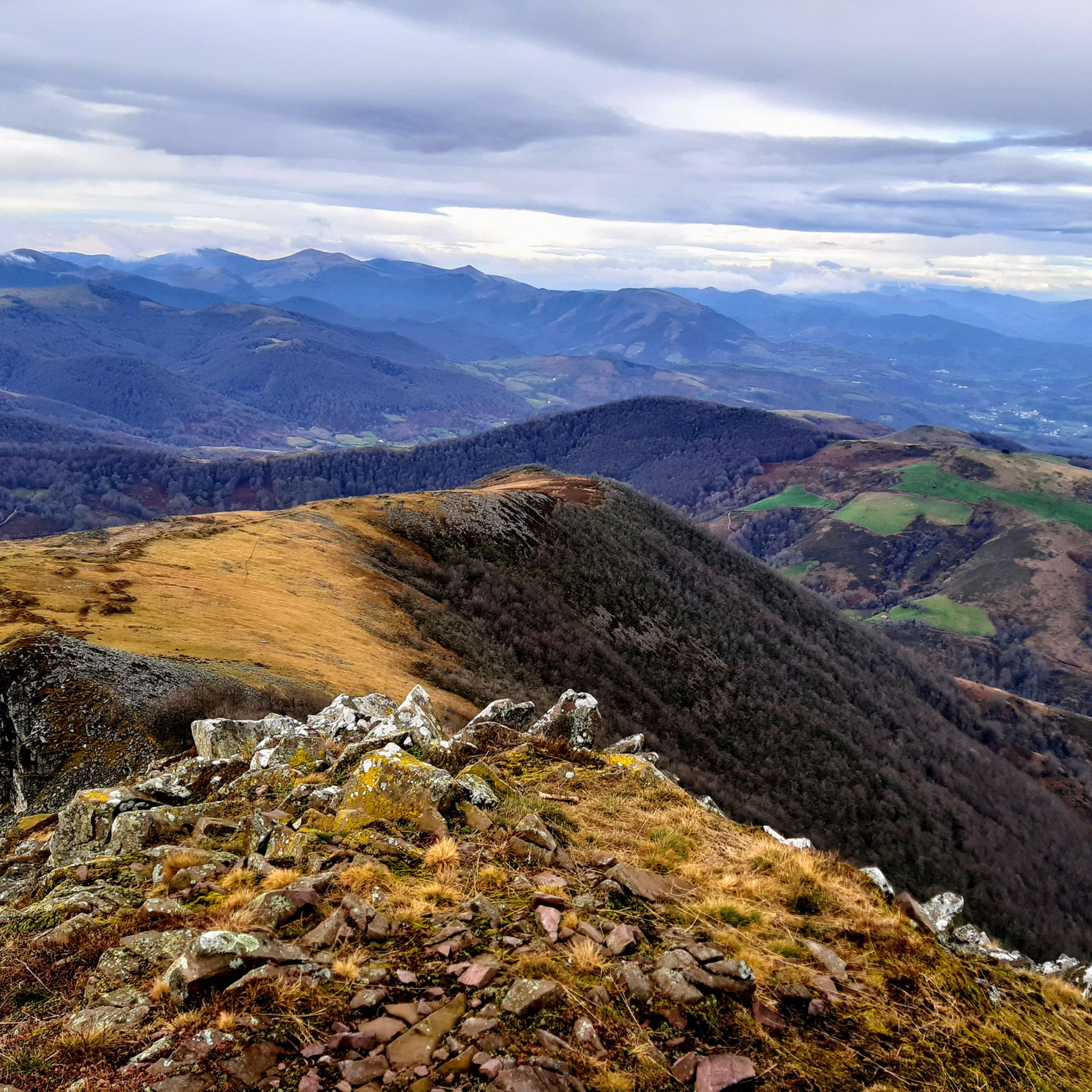
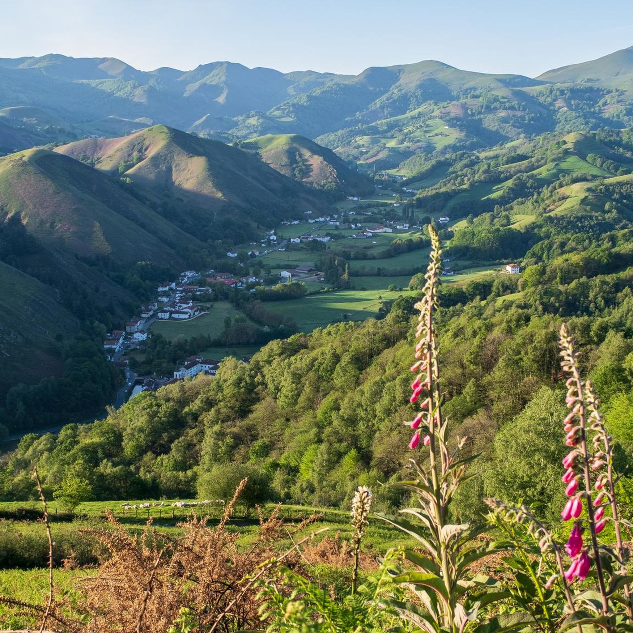
Other adventures around Banca


Tips from the Community

It's the first road sign indicating the distance to Santiago. It's worth a photo.
0
0

Even if you don't plan or have the ability to walk the entire Camino Frances, the stage that reaches Roncesvalles is a must for the beauty of the landscapes and the evocative atmosphere it offers, especially when—descending from the Ibañeta Pass—the boundless Spanish landscape suddenly opens up before your eyes in the golden light of sunset. It's a magical moment, ideally shared with other pilgrims and then enhanced with a visit to the Collegiate Church. The stamp on the Credencial is also beautiful.
1
0

Don't miss a visit to the Pilgrims' Hospital and the Collegiate Church of Santa María. Also, learn about the history of Roncesvalles, as it's very interesting.
0
0

There is a restaurant upstairs (actually several, but only one was open in July)
0
0

Walk from the Ispeguy pass, narrow path, best worn in hiking shoes, some scree slopes, magnificent view!
2
0
It is a very pleasant straight of slides... by car... because by bike you notice them in your legs.
0
0
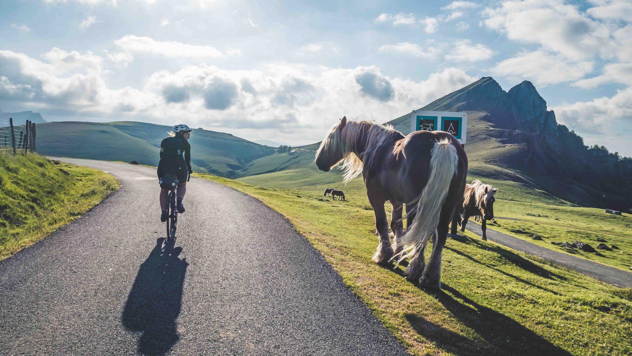
One of the most inhospitable and spectacular mountain passes in the eastern Pyrenees, with several slopes, all of them very difficult. The landscape is wild and wonderful. You can breathe absolute tranquility and you can dedicate yourself exclusively to enjoying the views, the horses, the sheep, the cows and the suffering on the bike. The summit is on the border with Spain, although there is no road that crosses the border, so the pass runs entirely in France. I have climbed it on 2 of its slopes. The first time I climbed it on the slope that crosses the Col d'Orgambide, on the D428 road, which starts from Estérençuby. The first 3 km are very easy, until you cross the detour to go up to Artaburu, where the road begins to have slopes of more than 10%. From there, to the summit, the climb is very hard, around 9%, on a very rough and bumpy road, with a lot of humidity and crossing a wonderful beech forest. Once you reach the top of the Col d'Orgambide, you turn right and continue climbing for another half kilometre with a gradient of 11%. There comes a small descent, to face the last 3 kms, the first 2 very hard with several 13% gradients. The last kilometre is very easy and has panoramic views that are simply wonderful. The second time I climbed it on the side that starts from Arneguy and Ondarolle. This side is harder than the previous one, with a central section that is hellish, being 6 kms at an average of 10%, and a very hard km at 12% and 18% gradients!!! The final part is more gentle. You cross the Croix de Thibault in the penultimate kilometre of the climb. The final kilometre is very gentle and with beautiful and exciting panoramic views.
1
0
Frequently Asked Questions
Are there any easy or beginner-friendly gravel bike trails in Banca?
Gravel biking around Banca is characterized by challenging routes through the Pyrenean foothills. The terrain includes significant elevation changes and varied surfaces, making all available routes difficult and best suited for experienced riders. There are no easy or beginner-friendly routes listed in this guide.
What is the typical duration for gravel bike trails in Banca?
The duration of gravel bike trails in Banca varies depending on the route and your pace. For example, the Forest Path Near Roncesvalles – Roncesvalles loop from Aurizberri typically takes about 2 hours 49 minutes to complete, while the longer Saint-Étienne-de-Baïgorry – Col d'Ispéguy (Izpegiko Lepoa) loop from Bozate can take around 4 hours 39 minutes.
Are there any circular gravel bike routes in Banca?
Yes, many of the gravel bike trails in Banca are designed as loops. Examples include the Forest Path Near Roncesvalles – Roncesvalles loop from Aurizberri and the Saint-Étienne-de-Baïgorry – Col d'Ispéguy (Izpegiko Lepoa) loop from Bozate, both offering a return to your starting point.
What kind of terrain can I expect on Banca's gravel bike trails?
Banca's gravel bike trails offer a rugged experience through dense forests and mountain passes. You can expect varied surfaces, from compacted earth to loose gravel, with significant climbs and descents characteristic of the Pyrenean foothills.
What are some scenic viewpoints or landmarks along the gravel routes in Banca?
The routes often feature panoramic views from mountain passes. Notable points of interest include the Ispéguy Pass and the Ibañeta Pass and the Roland Monument. You might also encounter impressive peaks like Iparla Peak and Munhoa Summit.
What do other gravel bikers say about the trails in Banca?
The gravel bike trails in Banca are highly rated by the komoot community, with an average score of 4.7 stars from over 7 reviews. Riders often praise the challenging nature of the routes, the beautiful forested landscapes, and the rewarding views from the mountain passes.
Are there any specific routes that explore the Urrobi Valley?
Yes, the Urrobi Valley – Foz de Iñarbe loop from Aurizberri is a challenging 41.5 km route that takes you through the scenic Urrobi Valley, offering a deep dive into the region's natural beauty.
How many gravel bike trails are available in Banca?
There are 7 gravel bike trails detailed in this guide for the Banca region, all of which are categorized as difficult due to the challenging terrain and significant elevation changes.
What is the best season for gravel biking in Banca?
Given the mountainous terrain and potential for varied weather, late spring, summer, and early autumn are generally the best seasons for gravel biking in Banca. These periods typically offer more stable weather conditions and clearer paths, though conditions can change rapidly in mountain environments.
Are there any routes that pass near Roncesvalles?
Yes, the Roncesvalles – Trail to Col de Bentarte loop from Orreaga / Roncesvalles is a challenging route that starts near Roncesvalles and explores the surrounding mountain terrain.
What should I bring for a gravel bike ride in Banca?
Considering the difficult nature of the trails, it's essential to bring appropriate gear. This includes a well-maintained gravel bike, helmet, sufficient water and snacks, navigation tools (like komoot's app), a repair kit, and layers of clothing suitable for changing mountain weather. Given the remote nature of some trails, consider a first-aid kit and emergency communication device.
Most popular attractions around Banca

Get inspired with the komoot mobile app


Explore more
Browse the best Gravel rides in other regions.
