Top 20 Mountain Passes in Alpes-de-Haute-Provence
Best mountain passes in Alpes-de-Haute-Provence are located in the southern French Alps, offering diverse terrain and high-altitude routes. This region features numerous cols des alpes, providing access between valleys and showcasing varied natural landscapes. The passes are characterized by their elevation, road conditions, and panoramic views. Many of these cols alpes du sud are part of scenic drives mountain passes Provence-Alpes-Côte d'Azur.
Best mountain passes in Alpes-de-Haute-Provence
- The most popular mountain passes is Col de Vars, a mountain pass located at 2,108 meters. It connects the Ubaye valley with the Embrunais and has been crossed 35 times in the Tour de France since 1947.
- Another must-see spot is Cayolle Pass, a mountain pass culminating at more than 2,324 meters above sea level. The approach from Barcelonette is varied, featuring gorges, streams, and impressive waterfalls.
- Visitors also love Col de Pontis, a challenging mountain pass. The climb from the south side is 5.3 kilometers with an average grade of 9.6%, offering views of Lac de Serre-Ponçon.
- Alpes-de-Haute-Provence is known for high-altitude passes, challenging climbs, and scenic viewpoints. The region offers a variety of mountain passes suitable for cycling, motorcycling, and scenic drives.
- The mountain passes in Alpes-de-Haute-Provence are appreciated by the komoot community, with 84 highlights and 196 photos contributed by users. These highlights have received 472 upvotes, indicating their popularity among outdoor enthusiasts.
Last updated: July 10, 2026
Col de Vars
Highlight • Mountain Pass
Translated by Google •
Tip by

Cayolle Pass
Highlight • Mountain Pass
Translated by Google •
Tip by

Sign up now to discover places like this
Get recommendations on the best single tracks, peaks, & plenty of other exciting outdoor places.
Sign up for free
Ascent of Col de Vars from Les Gleizolles
Highlight (Segment) • Climb
Translated by Google •
Tip by

Col de Pontis
Highlight • Mountain Pass
Translated by Google •
Tip by

Champs Pass
Highlight • Viewpoint
Translated by Google •
Tip by

Parpaillon Tunnel
Highlight • Trail
To respond to threats from the Eastern Alps and improve military mobility and transportation the construction of this road up to 2,648 meters began. To tackle the last steep obstacle, a tunnel of 466 meters was constructed, which was enormous for that time.
Work began in 1891, but the very high altitude meant it only be carried out for a few months of the year, and often in tricky conditions with snow and ice. There’s a postcard from the North platform at 2,648 metres, covered by a good 15 centimeters of fresh snow that had fallen on top of the 5-meter high snow wall already.
On the way to the summit, we were already warned about it. But when we passed through the tunnel last July 3, in the middle of summer, there was still ice in the tunnel. For you Pilgrims in September, that ice will no longer be there, but depending on the weather, the descent from 2.648 meters on the shadowed north side can be frigidly cold.
Tip by

Montagne de Lure Pass
Highlight • Mountain Pass
Translated by Google •
Tip by

Col du Fanget (1,459 m)
Highlight • Mountain Pass
Translated by Google •
Tip by
Fontbelle Pass
Highlight • Mountain Pass
Translated by Google •
Tip by

Col de Larche
Highlight • Mountain Pass
Translated by Google •
Tip by

Sign up for free to discover even more mountain passes in Alpes-de-Haute-Provence.
Sign up for free
Already have an account?
Start today with a free account
Your next adventure awaits.
Login or Signup
Popular around Alpes-de-Haute-Provence
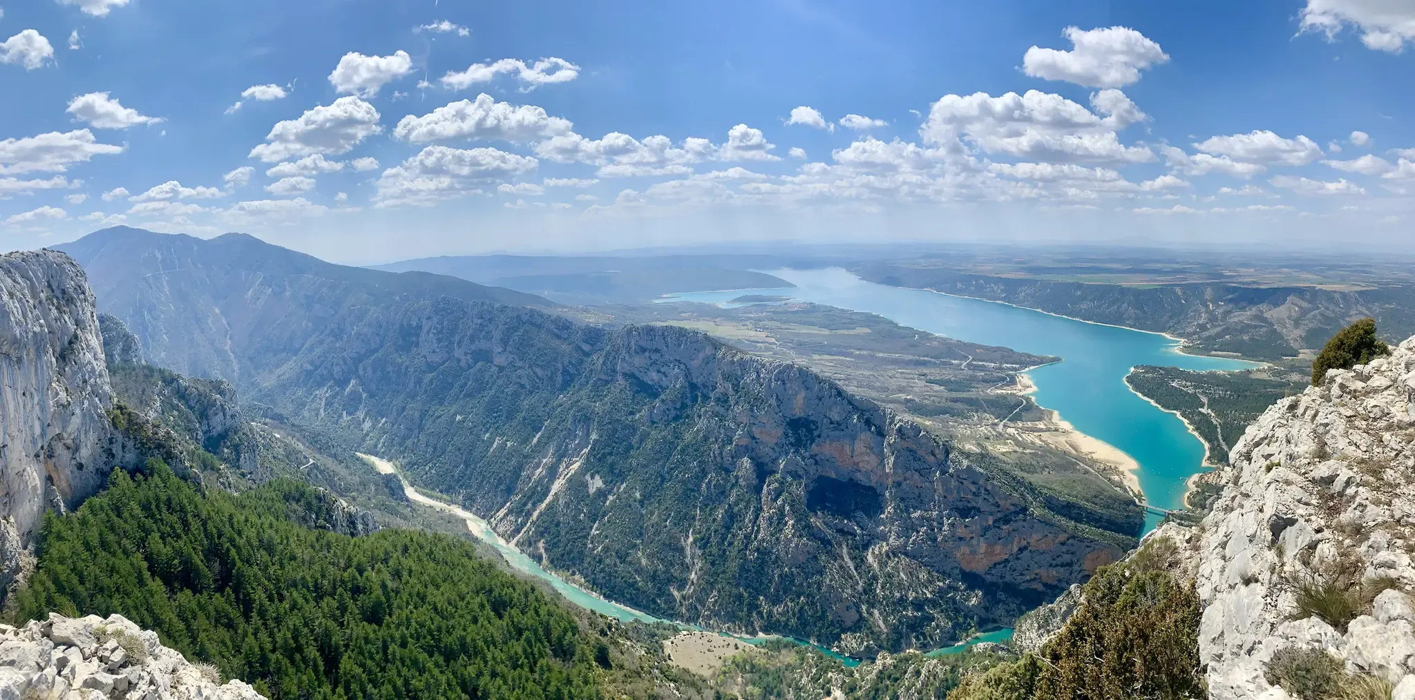
GR 4 – Crossing the south of France from Atlantic Coast to Provence

Transalps MTB – Chamonix to the Mediterranean Sea

Naples to North Cape — Two friends, one purpose and many scoops of ice-cream
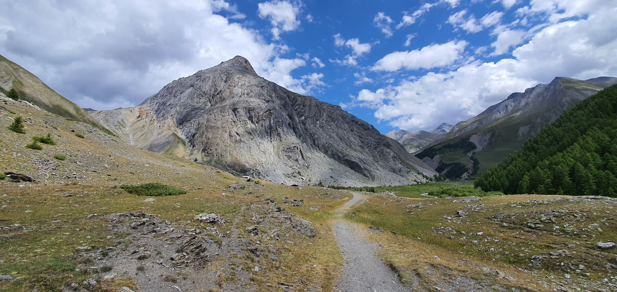
Western trans-alpine crossing – pure adventure on your mountain bike
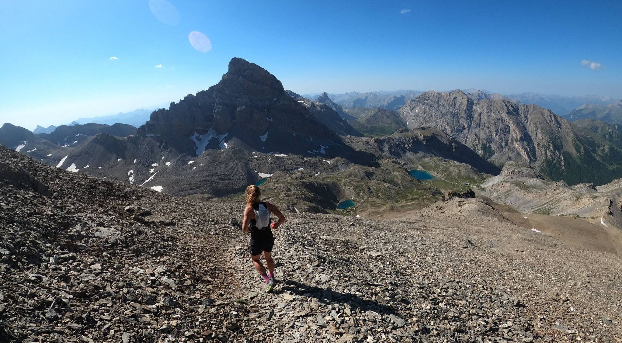
Trail running in the mountain peaks from Barcelonnette
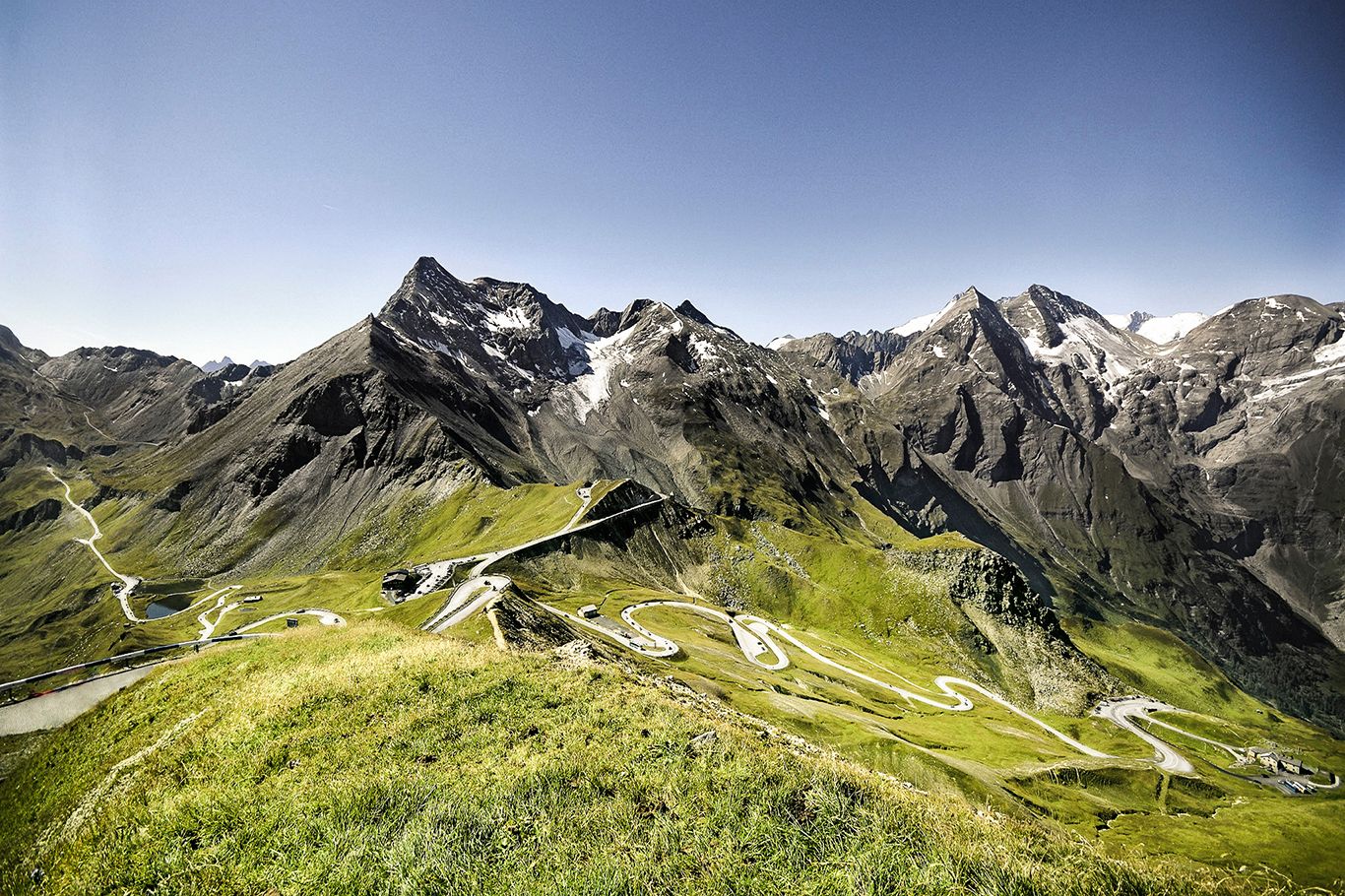
Three Peaks Bike Race — Vienna to Nice
Route des Grandes Alpes – in 6 days from Evian to Nice
From the Alps to the Atlantic — GR 6
P'tites Routes du Soleil (Little Routes of the Sun)

Route des Grandes Alpes
Other adventures in Alpes-de-Haute-Provence


Tips from the Community

The Ventoux's little brother. With a length of 17.7 kilometres and an ascent of 1054 vertical metres and a gradient of 5.9% on average, which implies a difficulty level of 688. The summit of the climb is located at 1746 metres above sea level. At the top the views are fabulous both towards Ventoux itself and towards the Alps. A long, very pleasant and fun climb that is worth the effort with percentages that remain around 5/6/7% and some peaks of up to 9.3%. The last 2 kilometres are very easy.
2
0

Gorgeous pass with very little traffic and perfect asphalt.
18
0
A long climb but never too difficult, the views are stunning.
17
0
Very long climb with wonderful views.
16
0
A very long climb with little traffic, the asphalt is in perfect condition and the gradients are never too steep.
15
0

Tunnel is at the moment not passable. It collapsed in the middle and the portale on the side of les pras is has a lot of rocks in front of it. Wait till or if the maintance will be done.
8
0
It reaches above 2000 m. Views are wonderful.
20
0
The climb is very demanding, you have to pay attention to the asphalt which is not in good condition on both sides. The view of the lake is magnificent.
17
0
Frequently Asked Questions
What are some challenging mountain passes in Alpes-de-Haute-Provence?
The region offers several challenging passes. Col de Pontis is known for its demanding climb, especially from the south side, with an average grade of 9.6% over 5.3 kilometers. The Parpaillon Tunnel area also presents challenging terrain. Additionally, the Montagne de Lure Pass is categorized as challenging.
What natural features can I expect to see along these mountain passes?
You can expect diverse natural beauty. The approach to Cayolle Pass from Barcelonette, for instance, features beautiful gorges, streams, and impressive waterfalls. Many passes offer panoramic views, such as the wonderful vistas from Col de Vars and the stunning scenery from Champs Pass.
What is the best time of year to visit the mountain passes in Alpes-de-Haute-Provence?
The mountain passes are generally best visited during the warmer months, typically from late spring to early autumn (May to October), when roads are clear of snow and weather conditions are most favorable for cycling, hiking, and scenic drives. Some passes, like Col de Pontis, can be particularly tough in summer due to heat, but offer the best views.
Are there scenic drives that include these mountain passes?
Yes, many of the mountain passes in Alpes-de-Haute-Provence are part of scenic drives, including sections of the famous Route des Grandes Alpes. Cayolle Pass is a notable example, offering remarkable panoramas and quiet roads ideal for scenic journeys.
What outdoor activities can I do near the mountain passes in Alpes-de-Haute-Provence?
The region around the mountain passes is excellent for various outdoor activities. You can find numerous options for hiking, mountain biking, and running. For detailed routes and guides, explore Hiking in Alpes-de-Haute-Provence, MTB Trails in Alpes-de-Haute-Provence, and Running Trails in Alpes-de-Haute-Provence.
Are there hiking trails accessible from these passes?
Absolutely. Many passes serve as starting points or routes for hiking. For example, the area around Col de Vars offers opportunities for circular hiking routes. You can find a variety of trails, including moderate and difficult options, by checking the Hiking in Alpes-de-Haute-Provence guide.
Can I cycle these mountain passes, and are there options for beginners?
Cycling is a very popular activity on these passes. While many climbs are challenging, like Col de Pontis, there are also quieter and less steep sections. The Ascent of Col de Vars from Les Gleizolles is described as a quiet and rather tame climb, making it a good option for those looking for a less strenuous experience, though still a significant effort.
What are the road conditions like on passes such as Cayolle Pass?
Road conditions can vary. For Cayolle Pass, the roads are generally quiet and offer a remarkable panorama. However, for Col de Pontis, it's noted that the asphalt is not always in good condition on both sides, requiring attention, especially during descents.
Are there facilities like cafes or refuges near the passes?
Yes, some passes offer facilities. For instance, there is a good cafe at the top of Col de Vars. Additionally, the Refuge du col d’Allos provides accommodation, a restaurant, and a cafe, making it a convenient stop for travelers.
Is Col de Vars suitable for dog-friendly trails or circular hikes?
The area around Col de Vars is popular for outdoor activities, including hiking. While specific dog-friendly designations aren't always listed, many trails in the French Alps are accessible with dogs, provided they are kept on a leash and local regulations are followed. You can find circular hiking routes in the broader Alpes-de-Haute-Provence region.
Where can I find impressive waterfalls and gorges along the passes?
The approach to Cayolle Pass from Barcelonette is particularly noted for its impressive waterfalls and beautiful gorges along a stream. This route offers a varied and scenic experience.
Are there any tunnels or unique features on these mountain passes?
Yes, the region features unique elements like the Parpaillon Tunnel, which is categorized as a challenging trail. Some climbs, like the Ascent of Col de Vars from Les Gleizolles, also mention small tunnels that are generally manageable without special lighting.
Most popular routes in Alpes-de-Haute-Provence
Most popular attractions in Alpes-de-Haute-Provence

Get inspired with the komoot mobile app


Explore more
See even more epic mountain passes by checking out these guides in Alpes-de-Haute-Provence:
