The best walks and hikes around Sénarens
4.8
(14)
77
hikers
5
hikes
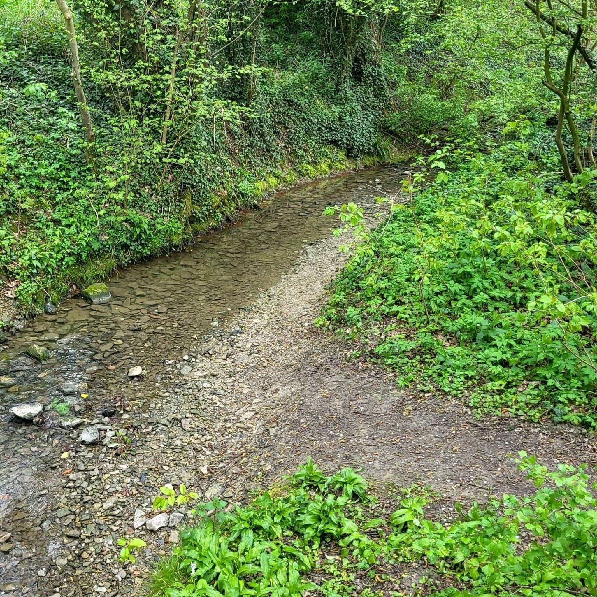
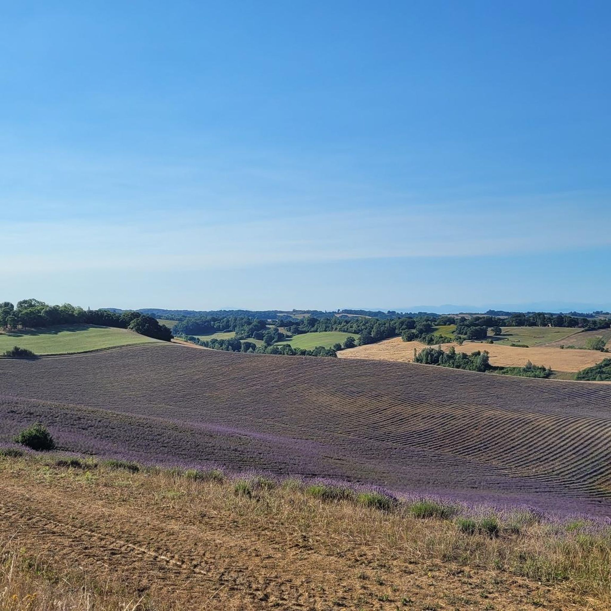
Hiking around Sénarens offers access to a landscape characterized by gentle hills and rural paths, often leading to tranquil lakes and natural springs. The region features a mix of open countryside and wooded areas, providing varied terrain for outdoor exploration. Its location along the Touch river contributes to its natural appeal, with elevations generally low, making many routes accessible for a range of abilities.
Best hiking trails around Sénarens
- The most popular hiking route is Lake Saint-André. – Lac de…
Last updated: July 3, 2026
4.3
(8)
54
hikers
12.6km
03:23
160m
160m
Moderate hike. Good fitness required. Easily-accessible paths. Suitable for all skill levels.
12
hikers
13.9km
03:46
180m
180m
Moderate hike. Good fitness required. Easily-accessible paths. Suitable for all skill levels.

Sign up for free
5.0
(2)
7
hikers
Easy hike. Great for any fitness level. Easily-accessible paths. Suitable for all skill levels.
5.0
(4)
3
hikers
9.32km
02:35
160m
160m
Moderate hike. Good fitness required. Easily-accessible paths. Suitable for all skill levels.
1
hikers
7.52km
02:05
140m
140m
Moderate hike. Good fitness required. Easily-accessible paths. Suitable for all skill levels.
Our route recommendations are based on thousands of hikes, rides, and runs completed by other people on komoot.
Start today with a free account
Your next adventure awaits.
Login or Signup
Popular around Sénarens

Tips from the Community


Beautiful place to enjoy the coolness of the forest on a hot summer day.
0
0
Many opportunities to get to the lake in the shade of the surrounding forests.
0
0
Small chapel picturesquely situated above the Source de Saint Frajou.
0
0
Many opportunities to reach the lake of Saint André in the shade of the surrounding forests
0
0
A clear pool, table and bench invite you to rest in the shade of a tree even on hot days.
0
0
Frequently Asked Questions
How many hiking trails are available around Sénarens?
There are 5 hiking trails listed around Sénarens on komoot, offering a variety of experiences through the region's gentle hills and rural landscapes. These routes are highly rated by the komoot community.
Are there any easy or beginner-friendly hikes in Sénarens?
Yes, Sénarens offers several easy routes suitable for beginners. A great option is the Lac de Saint-André – Lake Saint-André. loop from Lac de Saint-André, an easy 4.0 km path with minimal elevation gain, perfect for a relaxed stroll. Another accessible choice is the Table d'orientation loop from Le Fousseret, which is 7.3 km and also rated easy.
What kind of terrain can I expect on hikes around Sénarens?
Hiking around Sénarens features a diverse landscape of gentle hills, open countryside, and wooded areas. Many paths lead to tranquil lakes, such as Lac de Saint-André, and natural springs. Elevations are generally low, making the terrain accessible for various fitness levels.
Are there any circular walks available in Sénarens?
Yes, many of the trails around Sénarens are circular, allowing you to start and end at the same point. Popular circular routes include the Lake Saint-André. – Lac de Saint-André loop from Fabas and the Saint Frajou spring loop from Saint-Frajou.
What do other hikers enjoy most about the trails in Sénarens?
The trails in Sénarens are highly rated by the komoot community, with an average score of 4.9 stars. Hikers often praise the serene lake circuits, the peaceful rural paths, and the overall accessibility of the routes, which cater to both casual walkers and those seeking moderate challenges.
Are there any trails that feature natural springs?
Yes, the region is known for its natural springs. The Saint Frajou spring loop from Saint-Frajou is a 7.5 km moderate hike that specifically highlights a natural spring, offering a refreshing point of interest along the way.
What is the longest hiking trail in Sénarens?
The longest trail listed is the Lac de Saint-André – Lake Saint-André. loop from Fabas, which covers approximately 13.9 km and typically takes around 3 hours 45 minutes to complete. This moderate route offers extensive views of the lake and surrounding countryside.
Are there any moderate difficulty hikes for those seeking a bit more challenge?
Absolutely. Most of the trails in Sénarens are rated as moderate. For example, the Lake Saint-André. – Lac de Saint-André loop from Fabas is a popular 12.6 km moderate trail that includes some elevation changes, providing a good workout while enjoying the scenery.
Can I find trails that offer scenic views of Lac de Saint-André?
Many trails in the region feature views of Lac de Saint-André. Both the Lake Saint-André. – Lac de Saint-André loop from Fabas and the shorter Lac de Saint-André – Lake Saint-André. loop from Lac de Saint-André offer beautiful perspectives of the lake as you hike along its shores.
What are the typical elevation changes on hikes in Sénarens?
The elevations in Sénarens are generally low, making most routes accessible. For instance, an easy trail like the Lac de Saint-André – Lake Saint-André. loop from Lac de Saint-André has only about 21 meters of ascent. Even moderate routes like the Lake Saint-André. – Lac de Saint-André loop from Fabas feature around 163 meters of elevation gain, which is manageable for most hikers.
Are there any specific landmarks or points of interest along the trails?
While specific landmarks are not detailed for every route, the Table d'orientation loop from Le Fousseret suggests a viewpoint or interpretive table, offering panoramic views of the surrounding rural landscapes. Many trails also feature the tranquil Lac de Saint-André as a central point of interest.

Get inspired with the komoot mobile app


Explore more
Browse the best Hikes in other regions.
