The best gravel rides around Grignon
4.5
(3)
14
riders
2
rides
Gravel biking around Grignon, located in the Savoie department of France, offers routes through a region characterized by mountainous terrain and varied altitudes. The area's landscape includes proximity to the Parc naturel régional du massif des Bauges, featuring forests and alpine pastures. Gravel bike trails here can range from lower elevation bike paths to challenging climbs with significant elevation gain. The region's diverse topography provides a mix of river valleys and challenging ascents for gravel cyclists.
Best gravel bike trails…
Last updated: October 19, 2026
5.0
(2)
2
riders
31.4km
02:00
310m
310m
Moderate gravel ride. Good fitness required. Mostly paved surfaces. Suitable for all skill levels.
4
riders
49.5km
03:38
1,110m
1,110m
Hard gravel ride. Very good fitness required. Mostly paved surfaces. Suitable for all skill levels.

4
riders
18.0km
01:13
240m
240m
Moderate gravel ride. Good fitness required. Mostly paved surfaces. Suitable for all skill levels.
Our route recommendations are based on thousands of hikes, rides, and runs completed by other people on komoot.
Start today with a free account
Your next adventure awaits.
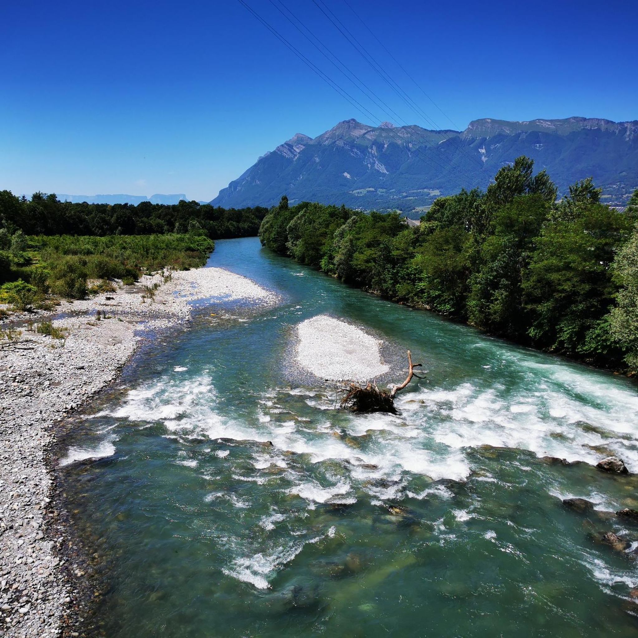

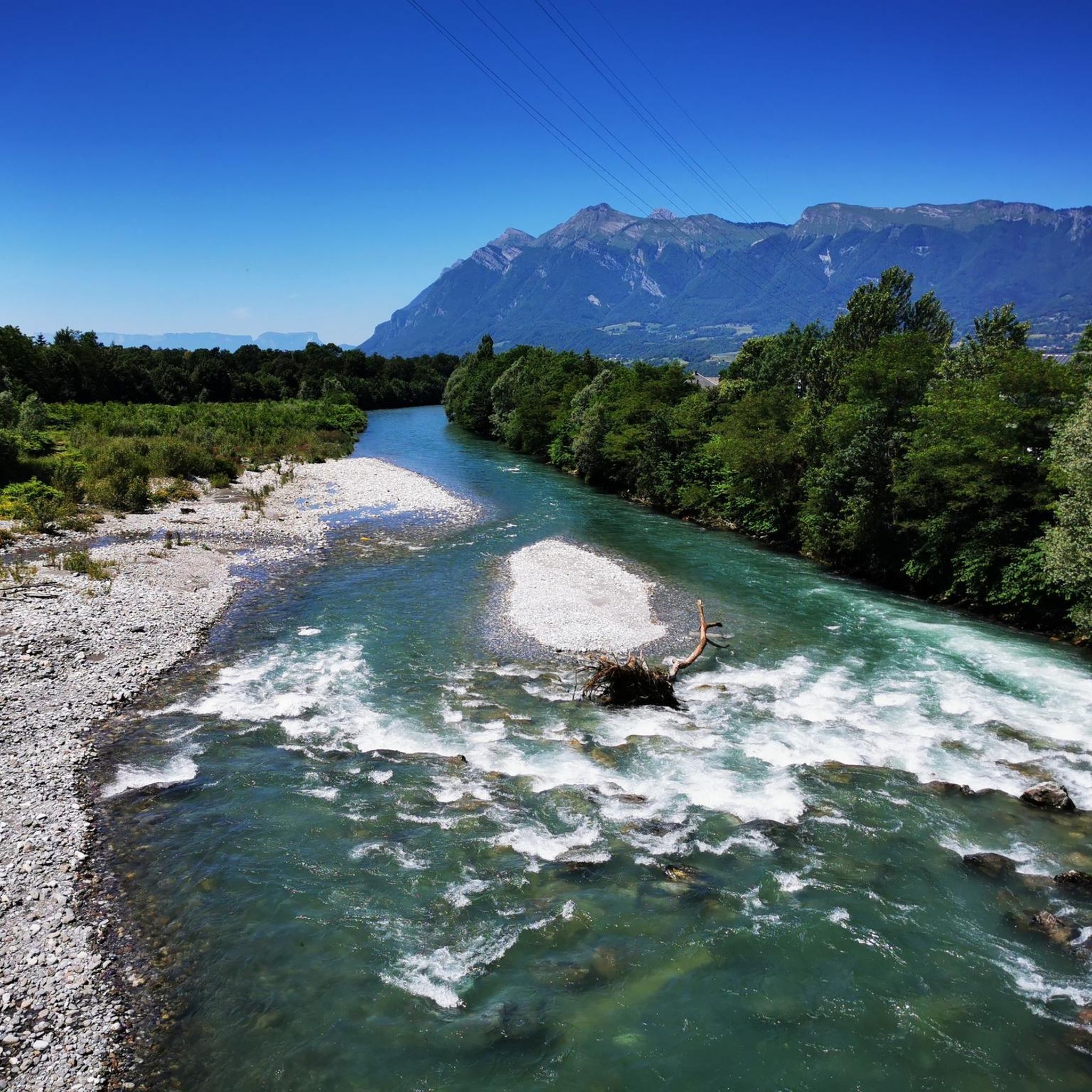
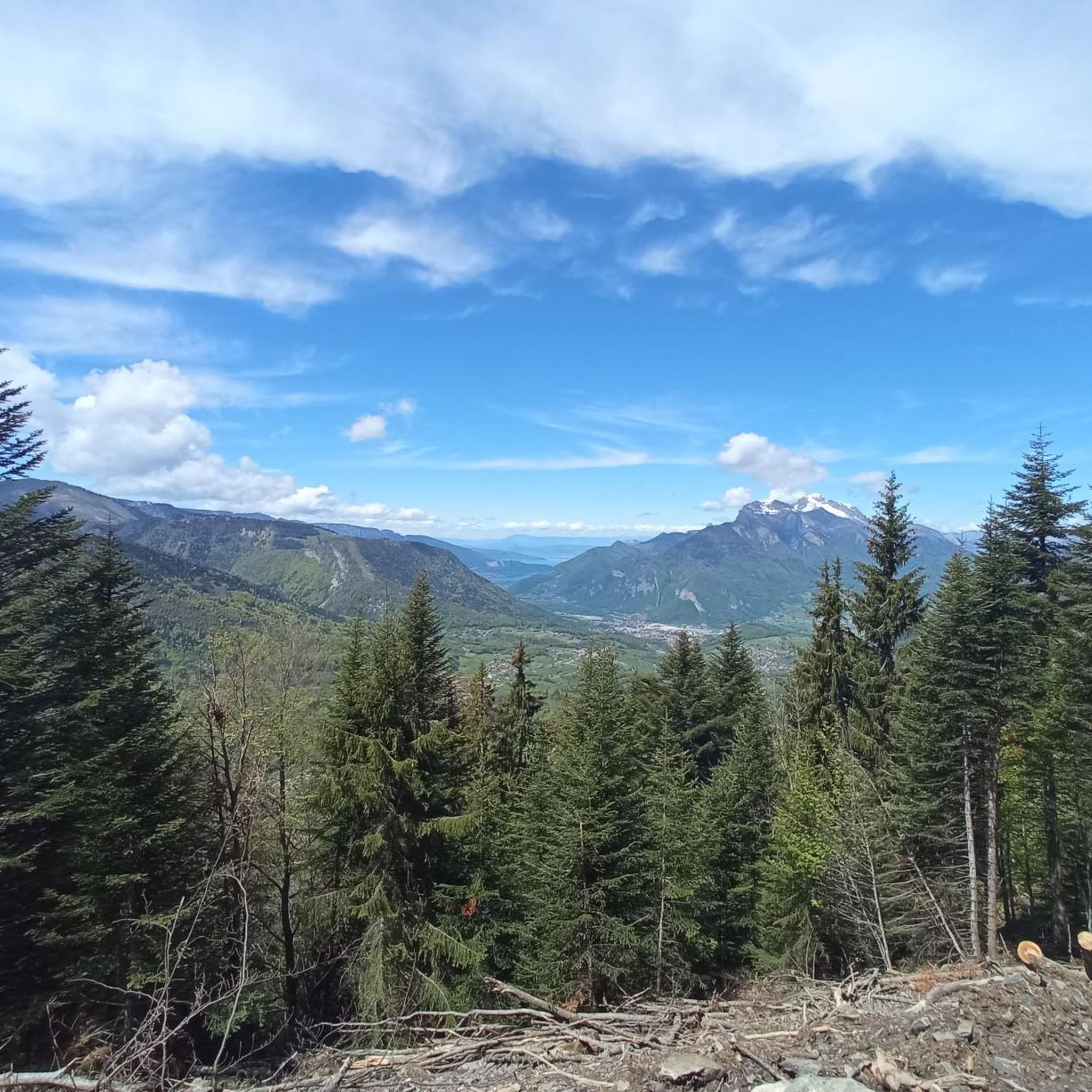
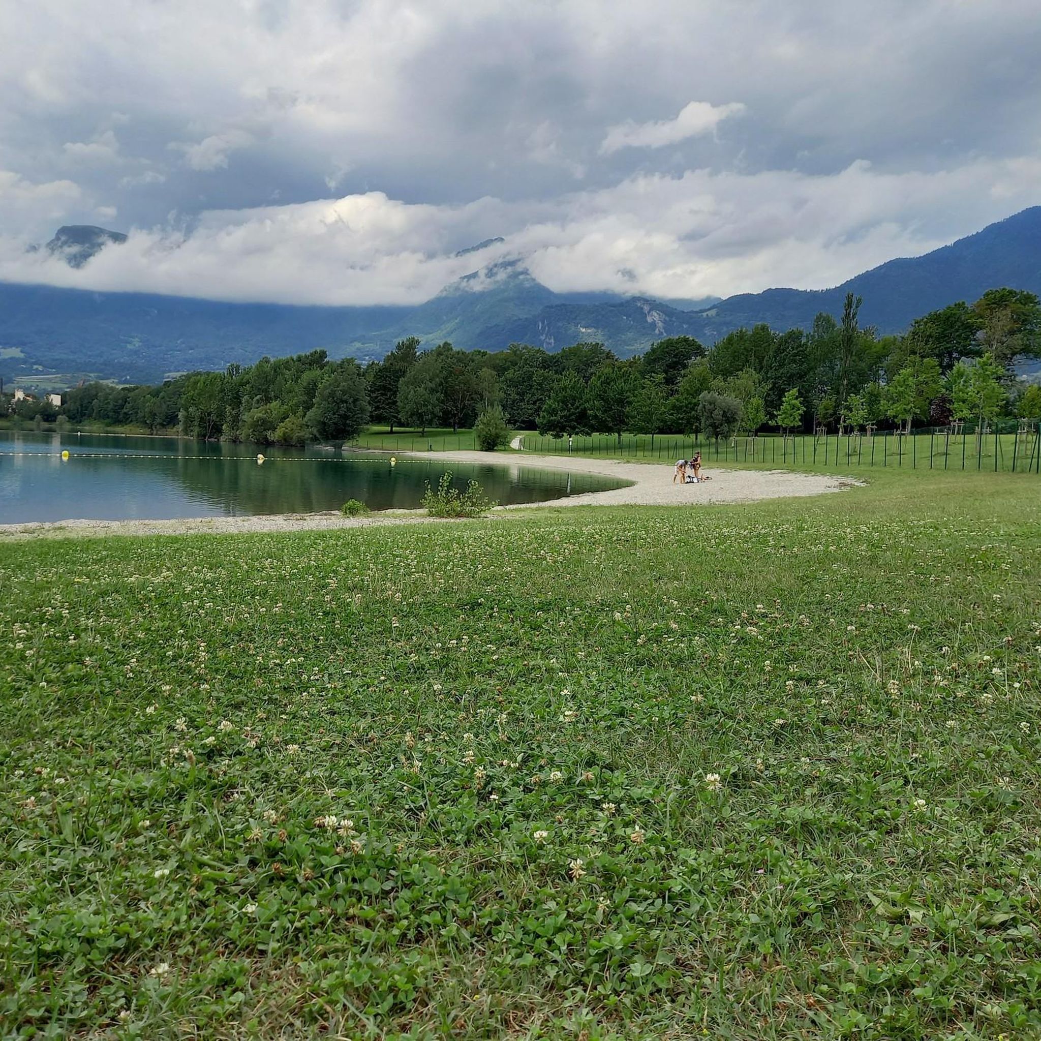

Tips from the Community

Ideally located along the Bella Via about fifteen kilometers from Albertville, cyclists can stop to refill their bottles and cool off. Other activities such as fishing or tennis are also practiced here. Surrounding massifs: Bauges to the north, Belledonne and Vanoise to the south
0
0

small street, nice view, fountain unfortunately without water
2
0
beautiful church, the fountain unfortunately empty
2
0
Campsite directly on the cycle path, inexpensive, clean sanitary facilities
2
0
Beautiful cycle path along the Isere.
2
0
Beautiful old town of Albertville.
2
0

Surrounded by mountains, a castle, vineyards, fields, and streams, what more could you ask for
0
0
Frequently Asked Questions
How many gravel bike trails are available around Grignon?
The Grignon area offers a selection of 13 gravel bike trails. These routes traverse a diverse landscape, from river valleys to challenging mountain ascents, providing a variety of experiences for gravel bikers.
What kind of terrain can I expect on gravel bike trails in Grignon?
Gravel biking in Grignon, located in the Savoie department, features a predominantly mountainous terrain. You'll encounter varied landscapes including river valleys, forests, and alpine pastures, especially as you approach areas like the Parc naturel régional du massif des Bauges. Routes can range from smoother bike paths to more rugged sections with significant elevation changes.
Are there options for different skill levels, from beginners to advanced riders?
Yes, Grignon caters to various skill levels. While there are no routes specifically classified as 'easy', you'll find 6 moderate routes perfect for those with some experience, and 7 difficult routes for advanced riders seeking a challenge. For a moderate experience, consider the Grignon Lake – Ruisseau des Moulins loop from Gilly-sur-Isère.
What is the best time of year for gravel biking in Grignon?
Grignon's mountainous location means that spring, summer, and early autumn generally offer the most favorable conditions for gravel biking. During these seasons, trails are typically clear of snow, and the weather is more conducive to outdoor activities. Winter can bring snow and colder temperatures, making some higher elevation routes inaccessible or more challenging.
Are there any circular gravel bike routes in the Grignon area?
Yes, many of the gravel bike routes around Grignon are designed as loops, allowing you to start and finish in the same location. Examples include the View of Château de Miolans – Bike path loop from Frontenex and the Bike path – Véloroute 62 loop from Albertville.
What natural features or landmarks can I see along the gravel bike trails in Grignon?
The region around Grignon is rich in natural beauty and historical landmarks. You can explore natural monuments like La Belle-Étoile or the Dent of Cons. The area is also known for its proximity to the Parc naturel régional du massif des Bauges, offering stunning landscapes. Some routes also pass by historical sites such as the Château de Miolans.
Are there any lakes or water features accessible by gravel bike near Grignon?
Yes, several lakes are accessible in the vicinity of Grignon. You can find routes that pass by or offer views of lakes such as Parc des Berges Lake, Grignon Lake, and Lac de Lavouet. The Grignon Lake – Ruisseau des Moulins loop from Gilly-sur-Isère is a moderate route that includes a lake.
Can I find routes that offer scenic viewpoints?
Absolutely. Given Grignon's mountainous setting, many routes provide excellent opportunities for scenic viewpoints. Trails that ascend to mountain passes like the Lakes Pass or summits such as Mont d'Armenaz will offer panoramic vistas of the surrounding alpine landscape and valleys.
What do other gravel bikers say about the trails around Grignon?
The gravel bike trails around Grignon are highly regarded by the komoot community, with an average rating of 4.2 stars from over 7 reviews. Bikers often praise the varied terrain, the challenging ascents, and the beautiful natural surroundings, particularly the mountainous landscapes and river valleys.
Are there any longer, more challenging gravel bike routes for experienced riders?
For experienced riders seeking a challenge, Grignon offers several difficult routes. The Tunnel under the rock – Montée de Hautecour loop from Grignon is a demanding 73.8 km route with over 1200 meters of elevation gain, providing a significant test of endurance and skill.
What is a good moderate-length gravel bike route for a day trip?
A great option for a moderate-length day trip is the View of Château de Miolans – Bike path loop from Frontenex. This 55.6 km route takes approximately 3 hours and 54 minutes to complete, offering a balanced ride with views of the historic Château de Miolans.
Are there any routes that feature mountain passes?
Yes, the mountainous region around Grignon includes routes that traverse significant mountain passes. The Épine Pass – Tamié Pass loop from Grésy-sur-Isère is a challenging 82.4 km route that takes you through both the Épine Pass and the Tamié Pass, offering a true alpine gravel biking experience.
Most popular attractions around Grignon

Get inspired with the komoot mobile app


Explore more
Browse the best Gravel rides in other regions.
